Hunton Copse
Wood, Forest in Hampshire Winchester
England
Hunton Copse
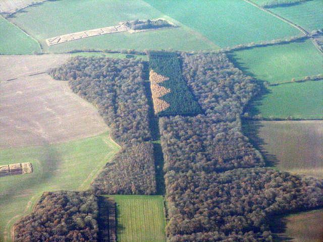
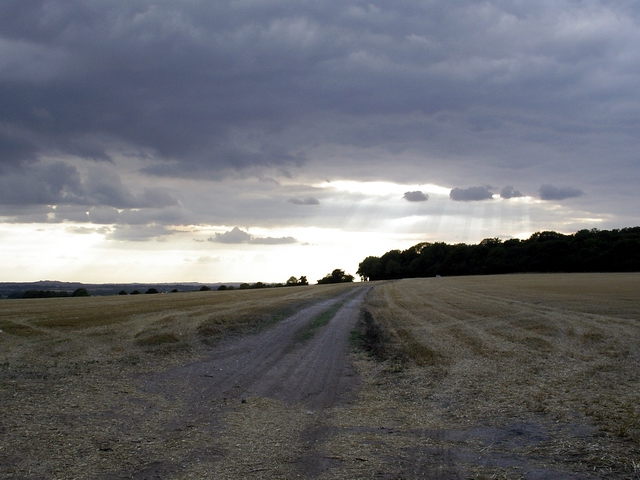
Hunton Copse is a charming woodland located in the county of Hampshire, England. Covering an area of approximately 50 acres, it is nestled within the picturesque countryside and is a haven for nature enthusiasts and outdoor lovers alike.
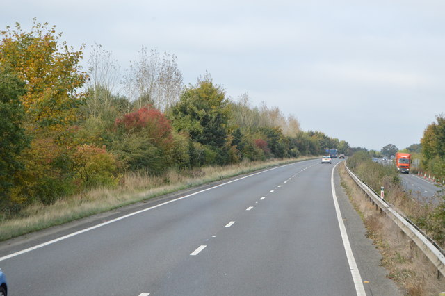
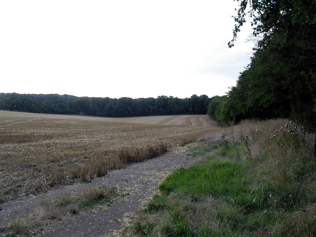
The copse is primarily composed of broadleaf trees, including oak, beech, and ash, which create a rich and diverse ecosystem. These majestic trees provide shelter and food for a variety of wildlife, including birds, insects, and small mammals. The forest floor is adorned with a carpet of wildflowers during the spring and summer months, adding a splash of color to the woodland.
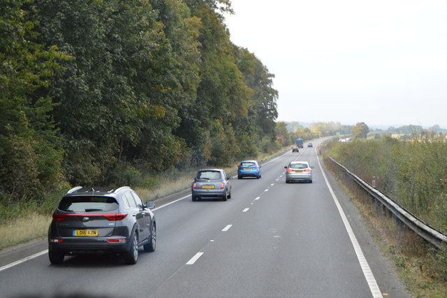
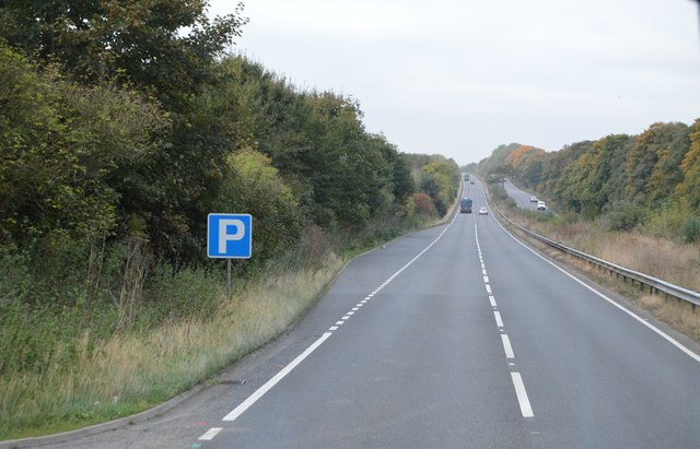
There are several walking trails that meander through the copse, allowing visitors to explore its beauty at their own pace. These paths are well-maintained and suitable for all levels of fitness, making it an ideal destination for families and individuals seeking a peaceful retreat in nature.
Hunton Copse is also home to a number of rare and protected species, including the hazel dormouse, which finds refuge in the dense undergrowth and shrubs. The copse is actively managed to preserve and enhance its natural habitat, ensuring the continued presence of these unique creatures.
Visitors to Hunton Copse can expect to experience a tranquil and serene atmosphere, away from the hustle and bustle of everyday life. Whether it is a leisurely stroll, birdwatching, or simply immersing oneself in the beauty of the woodland, this enchanting copse offers a captivating experience for all who venture into its depths.
If you have any feedback on the listing, please let us know in the comments section below.
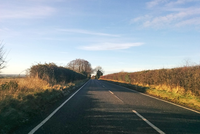
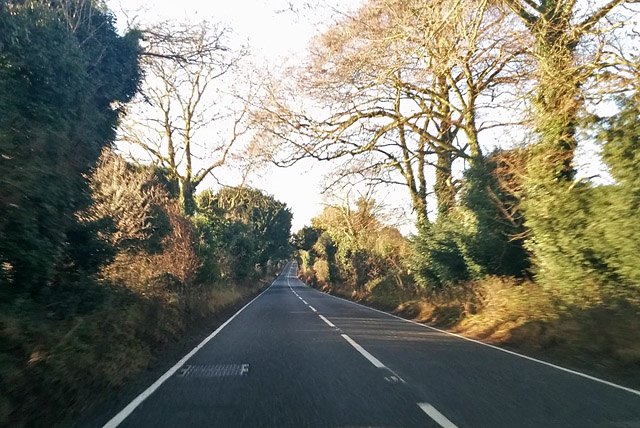
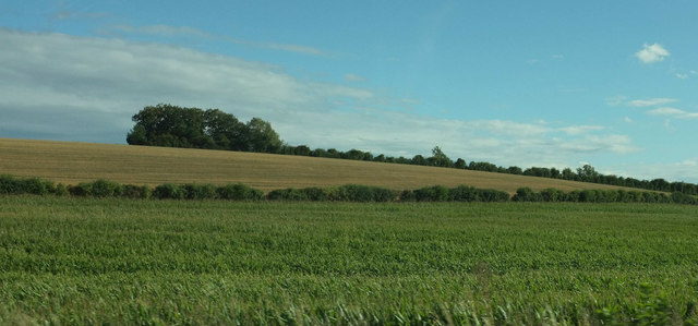
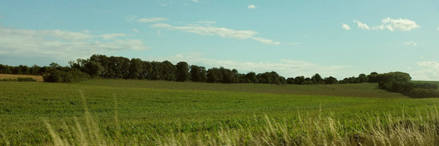
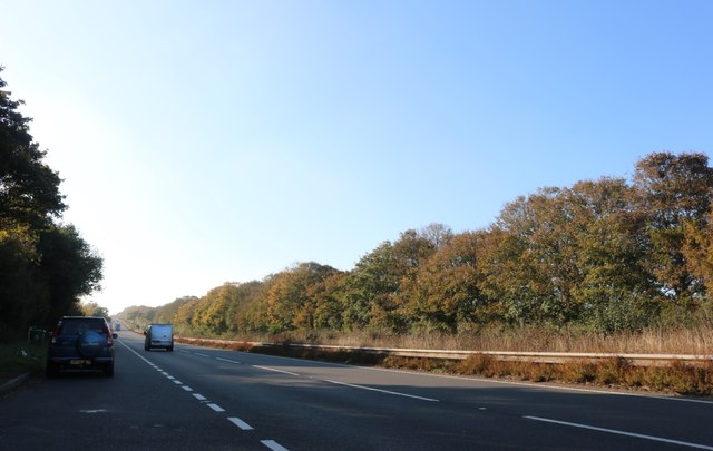
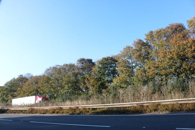
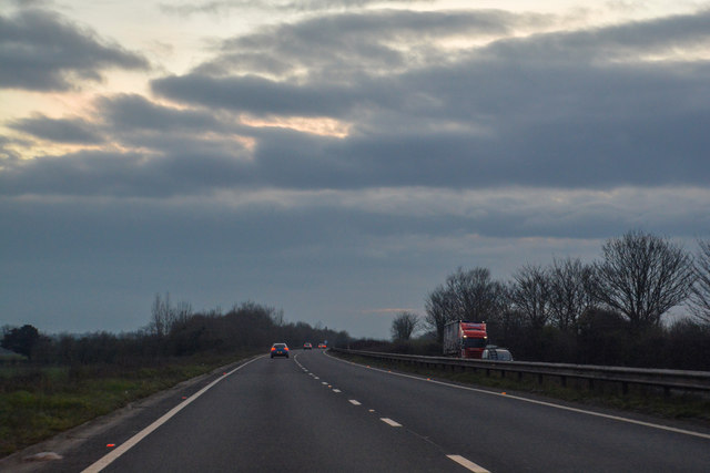
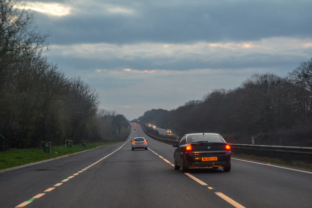
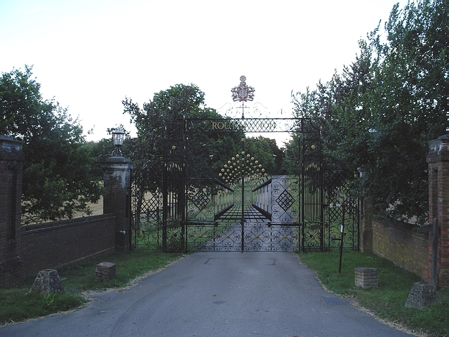
Hunton Copse Images
Images are sourced within 2km of 51.187805/-1.2838859 or Grid Reference SU5043. Thanks to Geograph Open Source API. All images are credited.


Hunton Copse is located at Grid Ref: SU5043 (Lat: 51.187805, Lng: -1.2838859)
Administrative County: Hampshire
District: Winchester
Police Authority: Hampshire
What 3 Words
///fuzz.resting.devours. Near Overton, Hampshire
Nearby Locations
Related Wikis
Micheldever Station
Micheldever Station is a village in the civil parish of Micheldever in the City of Winchester, which is in turn a district of the county of Hampshire,...
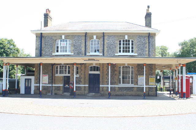
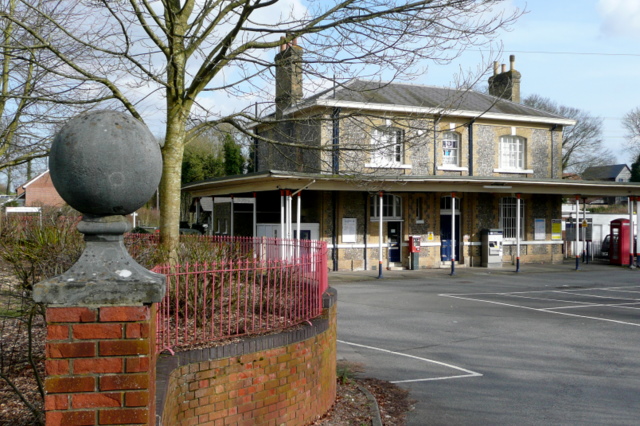
Micheldever railway station
Micheldever railway station, in the village of Micheldever Station, serves Micheldever (approximately 2 miles (3.2 km) to the south) and the surrounding...

Protyre
Micheldever Tyre Services Ltd, trading as Protyre, is primarily focused on the fast fitting of motor vehicles, specialising in tyres, brakes, exhausts...

Micheldever Spoil Heaps
Micheldever Spoil Heaps is a 32.1-hectare (79-acre) biological Site of Special Scientific Interest in Micheldever in Hampshire.This site is composed of...
Have you been to Hunton Copse?
Leave your review of Hunton Copse below (or comments, questions and feedback).