Cobbler's Pits Spinney
Wood, Forest in Northamptonshire
England
Cobbler's Pits Spinney
Cobbler's Pits Spinney is a small woodland located in Northamptonshire, England. Covering an area of approximately 10 acres, it is situated near the village of Wood, just a few miles south of the town of Daventry. The spinney is named after the nearby village of Cobbler's Pits, which was once known for its traditional shoemaking industry.
The woodland is a mix of mature trees, including oak, ash, and birch, as well as younger saplings and undergrowth. It is a designated Site of Special Scientific Interest (SSSI) due to its rich biodiversity and important habitats for various plant and animal species.
Cobbler's Pits Spinney is a popular spot for nature enthusiasts and walkers. Its well-maintained footpaths provide easy access for visitors to explore the woodland and observe its diverse flora and fauna. The spinney is home to a variety of bird species, including woodpeckers, owls, and various songbirds.
The woodland also contains a small pond, which serves as a breeding ground for amphibians such as frogs and newts. Additionally, it supports a range of insect life, including butterflies, dragonflies, and beetles.
Cobbler's Pits Spinney offers a peaceful and tranquil environment, making it an ideal location for picnics or simply enjoying the natural surroundings. The woodland is managed by a local conservation organization, ensuring its preservation for generations to come.
If you have any feedback on the listing, please let us know in the comments section below.
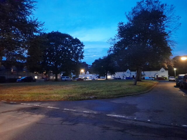
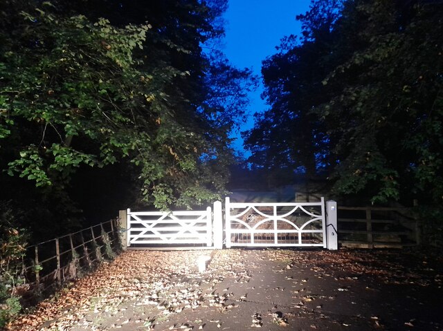
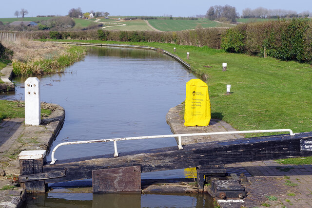
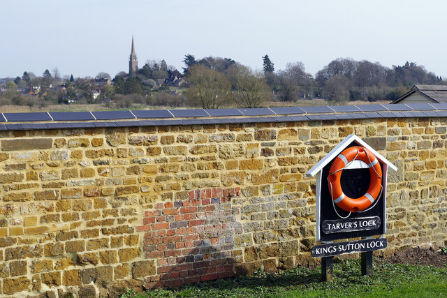
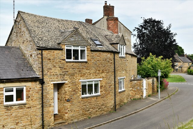
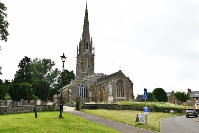
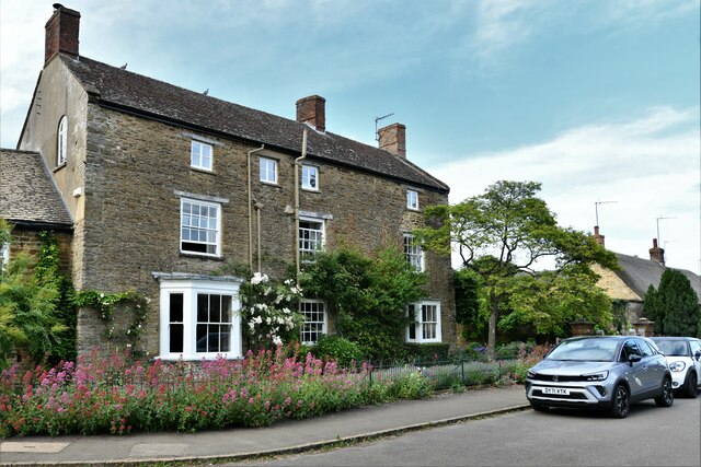
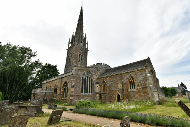
Cobbler's Pits Spinney Images
Images are sourced within 2km of 52.032768/-1.2706456 or Grid Reference SP5037. Thanks to Geograph Open Source API. All images are credited.
Cobbler's Pits Spinney is located at Grid Ref: SP5037 (Lat: 52.032768, Lng: -1.2706456)
Unitary Authority: West Northamptonshire
Police Authority: Northamptonshire
What 3 Words
///year.living.brisk. Near Kings Sutton, Northamptonshire
Nearby Locations
Related Wikis
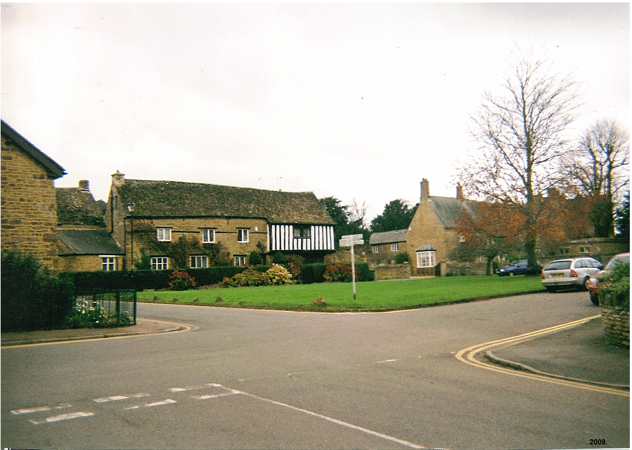
King's Sutton
King's Sutton is a village and civil parish in West Northamptonshire, Northamptonshire, England in the valley of the River Cherwell. The village is about...
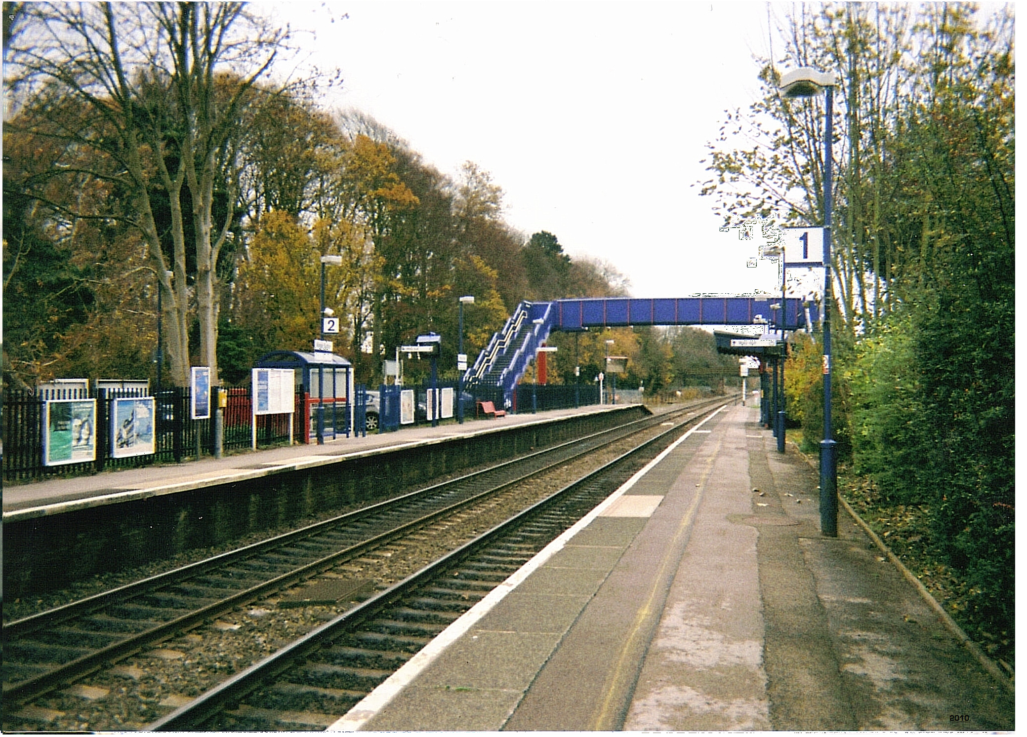
Kings Sutton railway station
Kings Sutton railway station serves the village of King's Sutton in Northamptonshire, England. It is also one of the nearest railway stations to the town...

Newbottle, Northamptonshire
Newbottle is a civil parish and largely deserted village in West Northamptonshire, about 4 miles (6.4 km) west of the market town of Brackley. It is close...
Blessed George Napier Catholic School
Blessed George Napier Catholic School, known locally as BGN, is a Catholic secondary school and sixth form with academy status. It is located on Addison...
Nearby Amenities
Located within 500m of 52.032768,-1.2706456Have you been to Cobbler's Pits Spinney?
Leave your review of Cobbler's Pits Spinney below (or comments, questions and feedback).