Choyce's Rough
Wood, Forest in Leicestershire Hinckley and Bosworth
England
Choyce's Rough
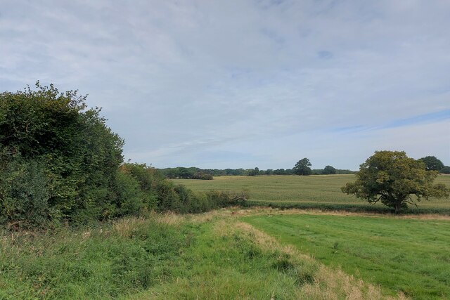
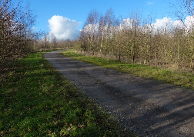
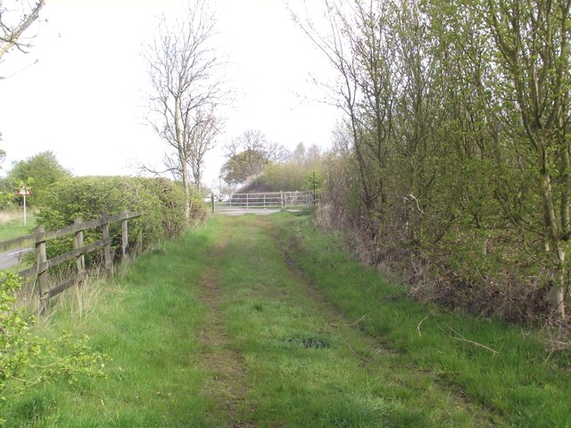
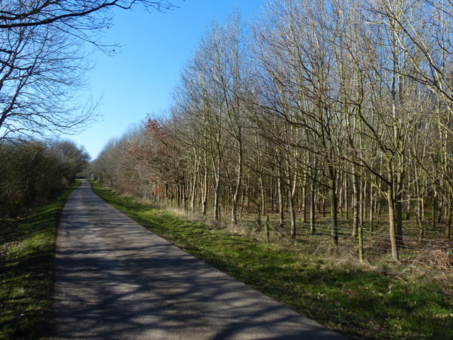
Choyce's Rough is a woodland area located in Leicestershire, England. Situated within the larger Charnwood Forest, it covers a total area of approximately 200 acres. The woodland is characterized by its rough, rugged terrain, hence the name "Choyce's Rough."
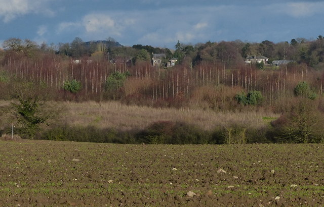
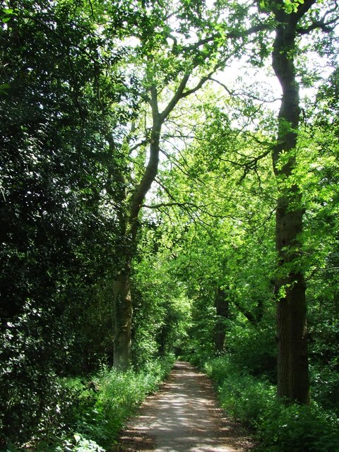
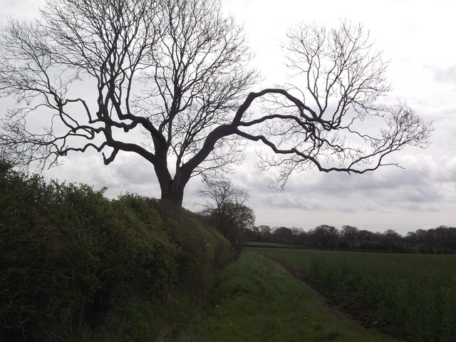
The area is predominantly covered by deciduous trees, including oak, beech, and birch, which create a dense canopy and provide a rich habitat for a variety of wildlife. The forest floor is covered with a diverse range of flora, including bluebells, wild garlic, and ferns, further enhancing the natural beauty of the area.
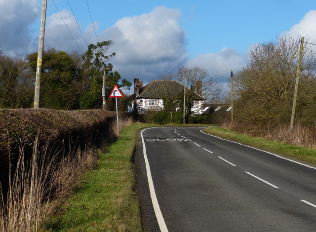
Choyce's Rough is a popular destination for nature enthusiasts and outdoor enthusiasts alike. It offers numerous walking trails that wind through the woodland, providing visitors with the opportunity to explore the area and immerse themselves in its natural surroundings. The trails vary in difficulty, catering to both casual walkers and more experienced hikers.
The woodland also houses a variety of wildlife, including deer, foxes, and numerous bird species such as woodpeckers and owls. Birdwatchers often flock to Choyce's Rough to catch a glimpse of these fascinating creatures in their natural habitat.
In addition to its natural beauty, Choyce's Rough also has historical significance. It is believed that the area was once used for charcoal production during the medieval period, with remnants of charcoal platforms still visible in some parts of the woodland.
Overall, Choyce's Rough is a picturesque woodland area with a rich biodiversity and a multitude of recreational opportunities, making it a cherished natural asset of Leicestershire.
If you have any feedback on the listing, please let us know in the comments section below.
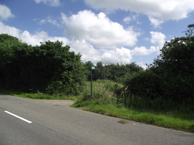
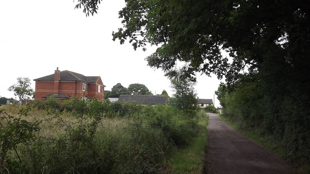
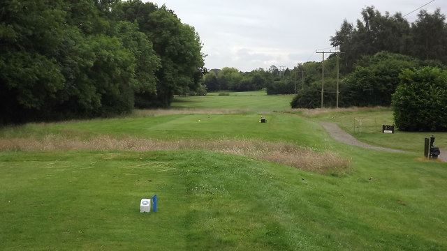
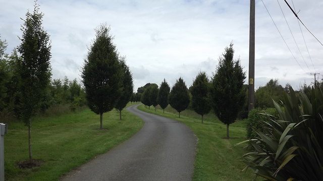
Choyce's Rough Images
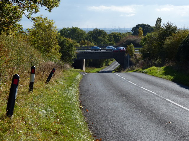
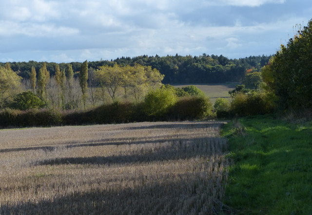
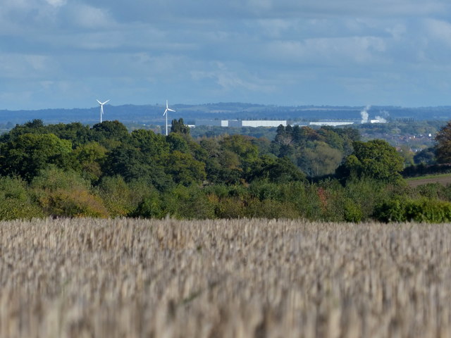
Images are sourced within 2km of 52.658634/-1.2668257 or Grid Reference SK4907. Thanks to Geograph Open Source API. All images are credited.


Choyce's Rough is located at Grid Ref: SK4907 (Lat: 52.658634, Lng: -1.2668257)
Administrative County: Leicestershire
District: Hinckley and Bosworth
Police Authority: Leicestershire
What 3 Words
///surfaces.easy.seashell. Near Ratby, Leicestershire
Nearby Locations
Related Wikis

The Islamic Foundation
The Islamic Foundation (Urdu: موَسسہَ اسلامی, also called the Islamic Foundation UK) is Jamaat-e-Islami's research and publishing house in the United Kingdom...
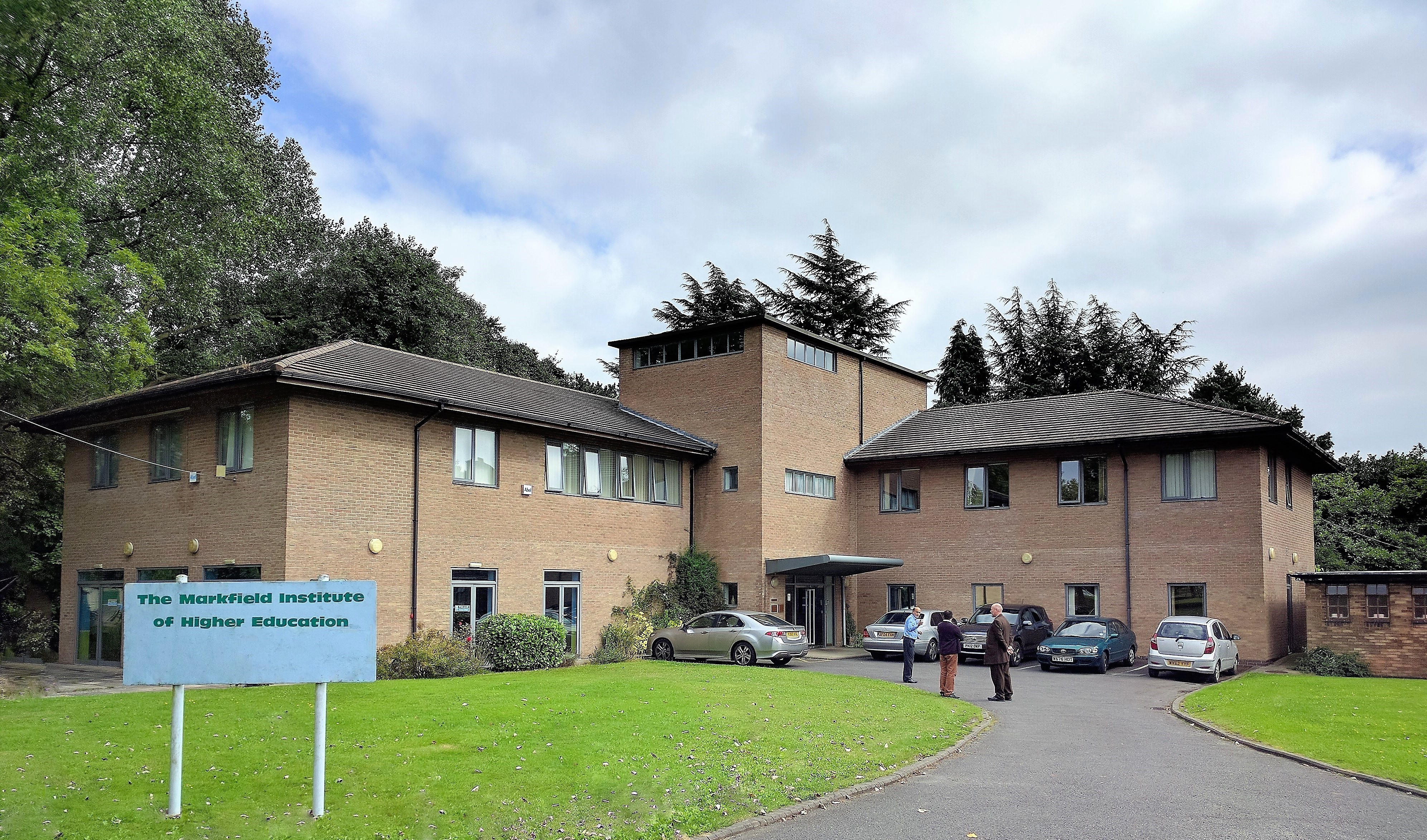
Markfield Institute of Higher Education
The Markfield Institute of Higher Education is an educational institution based in Leicestershire, in the United Kingdom. Specialising in Islamic subjects...
Ratby
Ratby is a commuter village and civil parish in the Hinckley and Bosworth district of Leicestershire, England. It is situated to the west of Leicester...
Brookvale Groby Learning Campus
Brookvale Groby Learning Campus is a coeducational secondary school and sixth form located in Groby in the English county of Leicestershire.The school...
Nearby Amenities
Located within 500m of 52.658634,-1.2668257Have you been to Choyce's Rough?
Leave your review of Choyce's Rough below (or comments, questions and feedback).