Whittington Rough
Wood, Forest in Leicestershire Hinckley and Bosworth
England
Whittington Rough
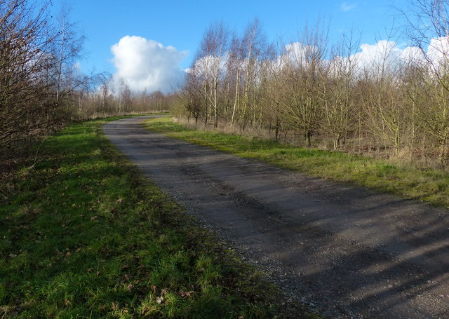
Whittington Rough is a woodland area located in Leicestershire, England. Covering an approximate area of 50 acres, it is situated near the village of Whittington. The rough is part of the larger Charnwood Forest, which is known for its scenic beauty and rich biodiversity.
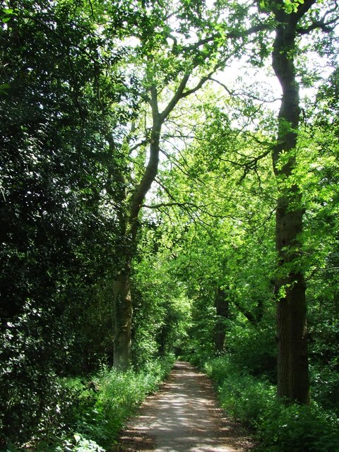
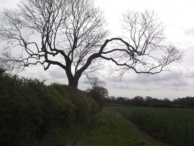
The woodland is predominantly made up of native broadleaf trees, including oak, ash, beech, and birch. These trees form a dense canopy, creating a shaded and tranquil environment. The forest floor is covered with a variety of wildflowers, ferns, and mosses, adding to its natural charm.
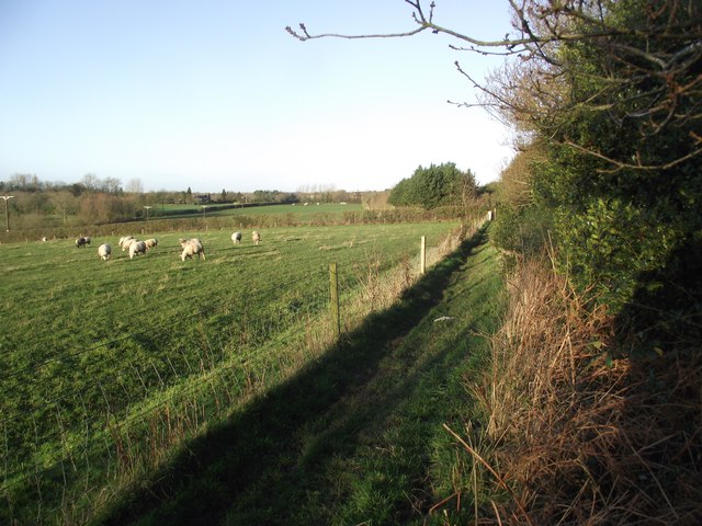
Whittington Rough is home to a diverse range of wildlife. It provides a habitat for various bird species, such as woodpeckers, tawny owls, and nightingales. Mammals like badgers, foxes, and squirrels can also be spotted in the area. In addition, the rough supports a variety of insects, including butterflies and beetles.
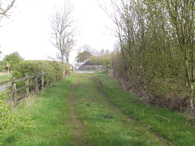
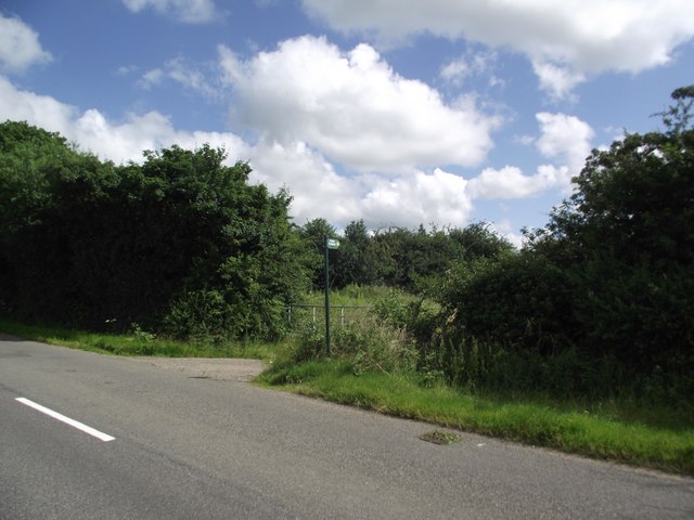
The woodland offers several walking trails, allowing visitors to explore its beauty at their own pace. These trails are well-maintained and provide opportunities for nature observation and relaxation. Whittington Rough is a popular spot for nature enthusiasts, hikers, and families looking for a peaceful outdoor experience.
As part of the Charnwood Forest, Whittington Rough is managed by the local authorities to preserve its natural heritage. Efforts are made to maintain the health and diversity of the woodland, ensuring its continued importance as a natural habitat and recreational area for both locals and tourists alike.
If you have any feedback on the listing, please let us know in the comments section below.
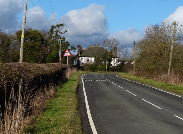
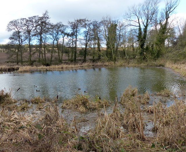
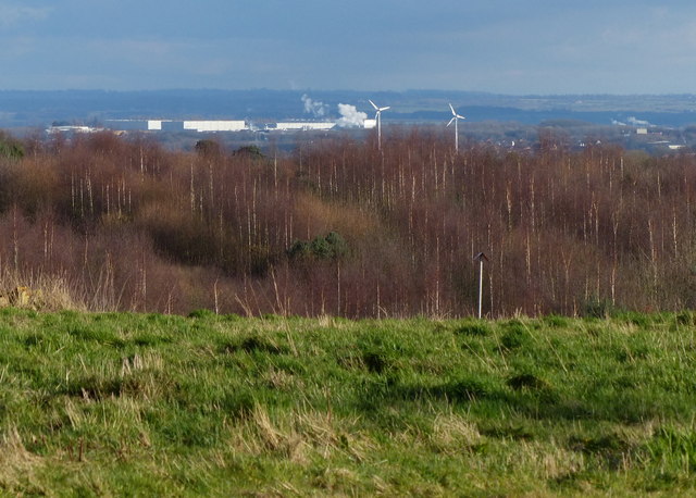
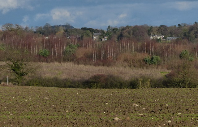
Whittington Rough Images
Images are sourced within 2km of 52.663696/-1.2712804 or Grid Reference SK4907. Thanks to Geograph Open Source API. All images are credited.


Whittington Rough is located at Grid Ref: SK4907 (Lat: 52.663696, Lng: -1.2712804)
Administrative County: Leicestershire
District: Hinckley and Bosworth
Police Authority: Leicestershire
What 3 Words
///irritated.stowing.messing. Near Markfield, Leicestershire
Nearby Locations
Related Wikis

The Islamic Foundation
The Islamic Foundation (Urdu: موَسسہَ اسلامی, also called the Islamic Foundation UK) is Jamaat-e-Islami's research and publishing house in the United Kingdom...
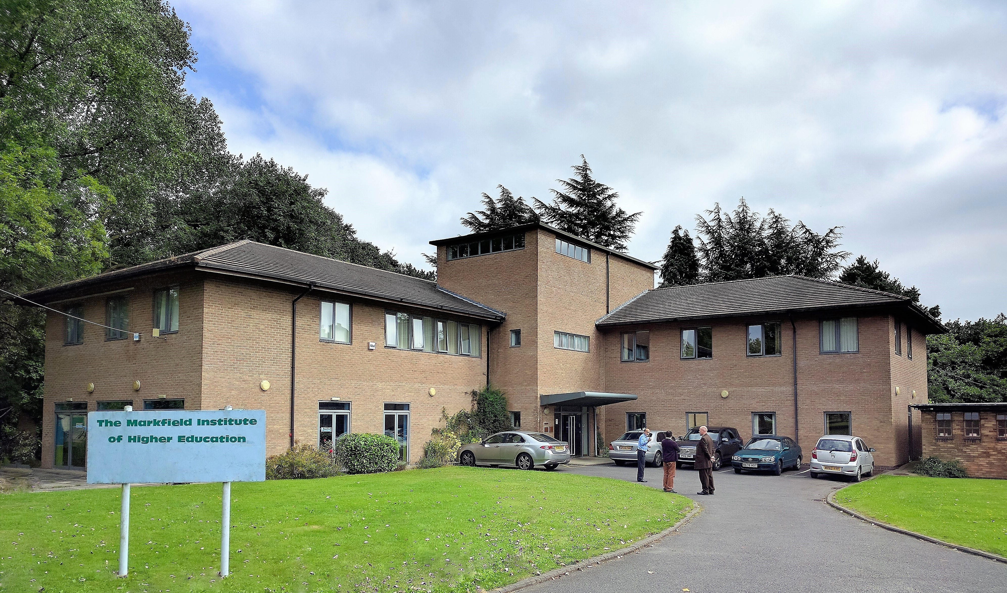
Markfield Institute of Higher Education
The Markfield Institute of Higher Education is an educational institution based in Leicestershire, in the United Kingdom. Specialising in Islamic subjects...

Field Head
Field Head is a small settlement along the A511 on the edge of the Charnwood Forest in the Hinckley and Bosworth district of Leicestershire, England. It...
Bradgate House, Groby
Bradgate House is a 19th-century ruin in Groby, Leicestershire, England. Built in 1856 for the seventh Earl of Stamford, George Harry Grey, it was intended...
Nearby Amenities
Located within 500m of 52.663696,-1.2712804Have you been to Whittington Rough?
Leave your review of Whittington Rough below (or comments, questions and feedback).