Durrel's Copse

Wood, Forest in Hampshire Basingstoke and Deane

England

Durrel's Copse

Pasture, Ecchinswell The footpath seen descending to Hyde Lane.
Pasture, Ecchinswell Credit: Andrew Smith

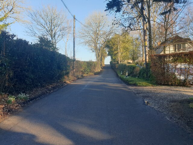
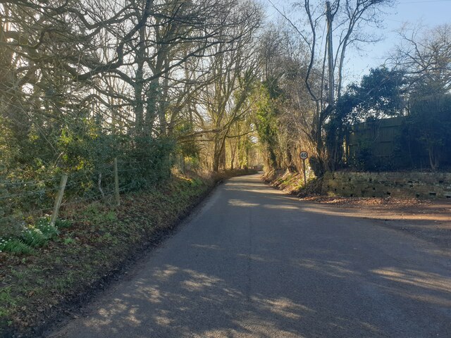
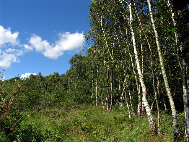
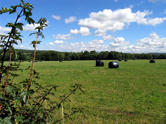
Durrel's Copse is a picturesque woodland located in Hampshire, England. Situated in the rural area of the county, the copse covers a sprawling area of approximately 50 acres. It is renowned for its rich biodiversity and stunning natural beauty, attracting both locals and visitors alike.

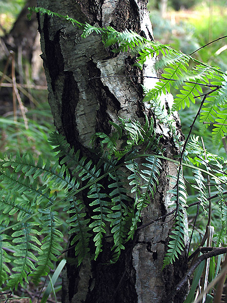
The copse is primarily composed of deciduous trees, including oak, beech, and ash, creating a dense and vibrant canopy that provides ample shade during the summer months. The forest floor is adorned with a colorful carpet of wildflowers, creating a delightful spectacle for nature enthusiasts.

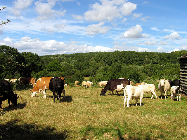
Due to its diverse ecosystem, Durrel's Copse is home to a wide variety of wildlife. Visitors may catch glimpses of deer, foxes, badgers, and several species of birds, including woodpeckers and owls. The copse is a haven for birdwatchers, offering a tranquil setting to observe and appreciate the avian inhabitants.

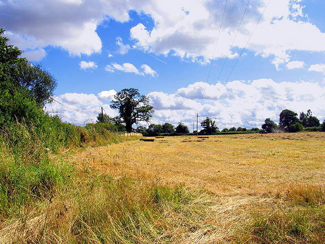
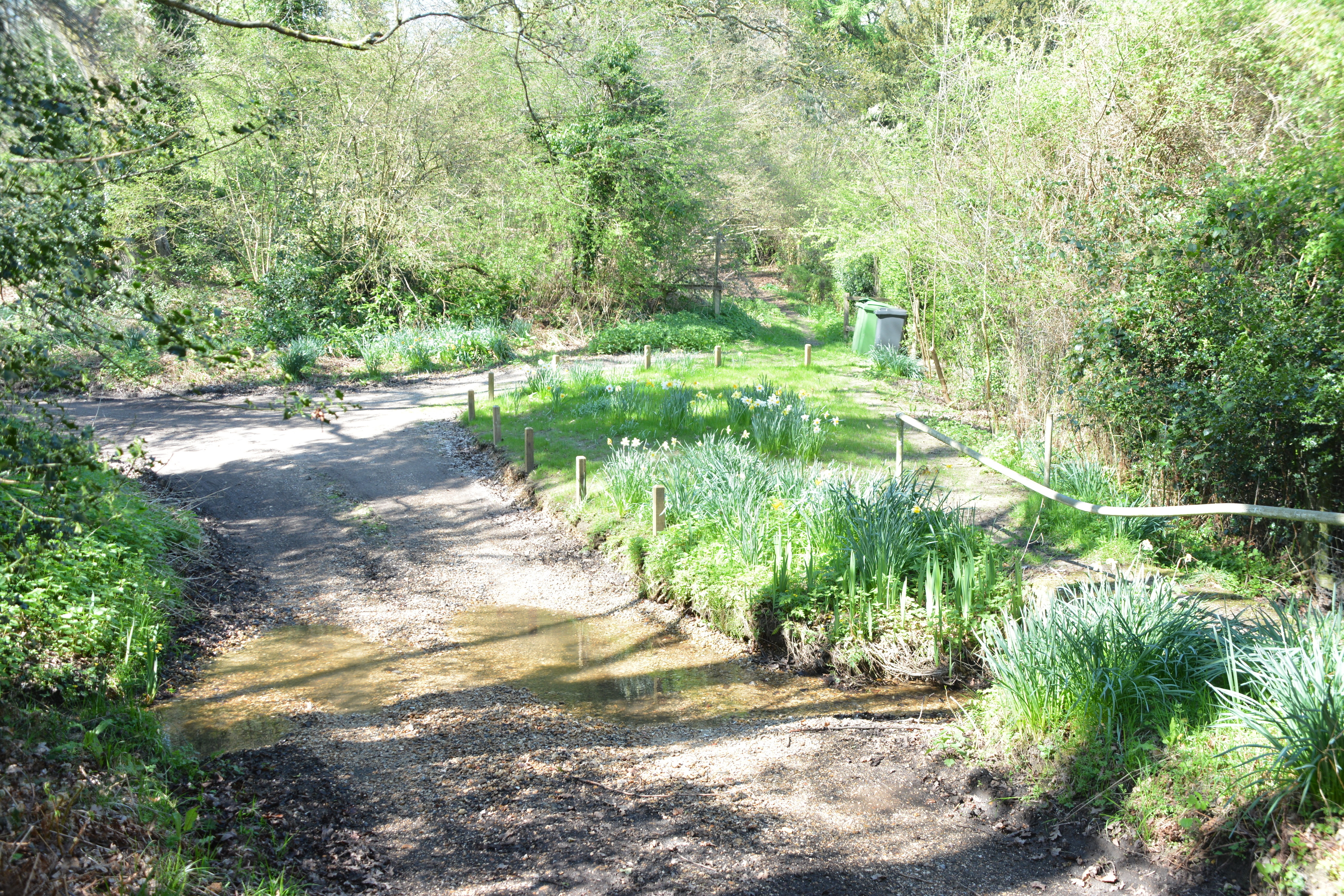
Walking trails wind their way through the copse, allowing visitors to explore its beauty at their own pace. These trails are well-maintained and suitable for all ages and fitness levels. Along the way, hikers can enjoy the soothing sounds of the nearby stream and the gentle rustling of leaves in the breeze.

Durrel's Copse also serves as an educational resource, with several interpretive signs dotting the trails, providing information about the flora and fauna found within the woodland. It is a popular destination for school field trips and nature study groups, offering an opportunity to learn about the importance of preserving and protecting natural habitats.

Overall, Durrel's Copse is a captivating woodland that offers a tranquil escape from the hustle and bustle of everyday life. Its diverse range of flora and fauna, coupled with its well-maintained trails, make it a must-visit destination for nature lovers and outdoor enthusiasts in Hampshire.

If you have any feedback on the listing, please let us know in the comments section below.

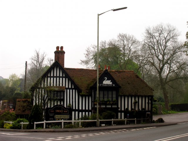
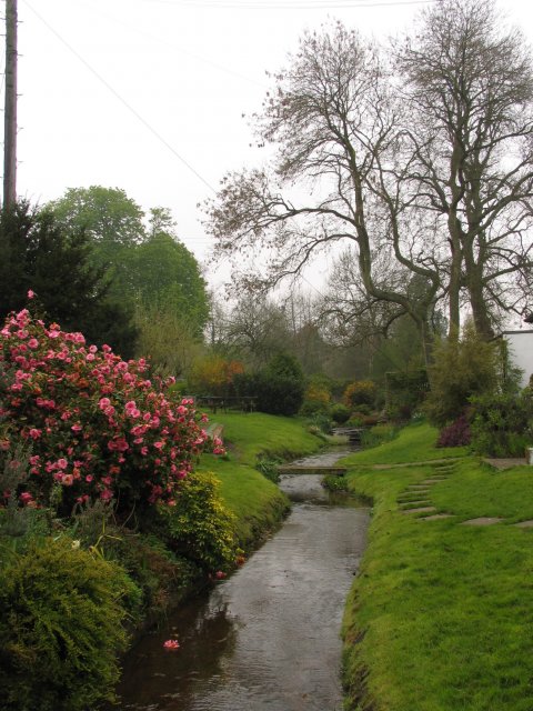
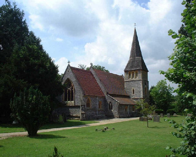
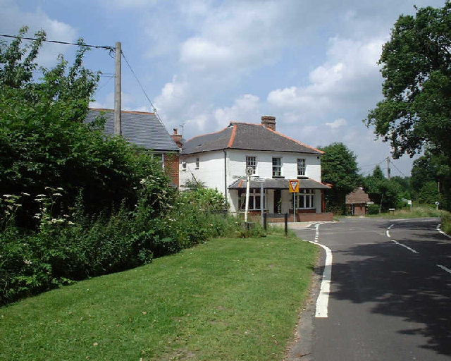
Durrel's Copse Images

Images are sourced within 2km of 51.355497/-1.30039 or Grid Reference SU4862. Thanks to Geograph Open Source API. All images are credited.

Pasture, Ecchinswell The footpath seen descending to Hyde Lane.
Pasture, Ecchinswell
The footpath seen descending to Hyde Lane.
Ecchinswell Road A view north along Ecchinswell Road from North Sydmonton, a small hamlet south east of Newbury.
Ecchinswell Road
A view north along Ecchinswell Road from North Sydmonton, a small hamlet south east of Newbury.
Ecchinswell Road A view south along Ecchinswell Road from North Sydmonton, a small hamlet south east of Newbury.
Ecchinswell Road
A view south along Ecchinswell Road from North Sydmonton, a small hamlet south east of Newbury.
Postbox on Ecchinswell Road A modern looking postbox on Ecchinswell Road in North Sydmonton.
Postbox on Ecchinswell Road
A modern looking postbox on Ecchinswell Road in North Sydmonton.
Ye Olde Swan Inn This pub is situated below the Church in this square, at the intersection. This picture was taken looking south.
Ye Olde Swan Inn
This pub is situated below the Church in this square, at the intersection. This picture was taken looking south.
Ye Olde Swan Inn The pub lies in the extreme north of the square, in the eastern quadrant. As one comes down from the grid north of this one and as one passes over the riverbridge, the pub is in view between the B4640 and the junction with the road to Burgchlere, before it forks.
Ye Olde Swan Inn
The pub lies in the extreme north of the square, in the eastern quadrant. As one comes down from the grid north of this one and as one passes over the riverbridge, the pub is in view between the B4640 and the junction with the road to Burgchlere, before it forks.
The Stream alongside Ye Olde Swan Inn This stream runs diagonally through the square from  NE-SW and is on the eastern side of the pub, between the pub and the road into Newtown.
The Stream alongside Ye Olde Swan Inn
This stream runs diagonally through the square from NE-SW and is on the eastern side of the pub, between the pub and the road into Newtown.
Newtown Church Newtown Church
Newtown Church
Newtown Church
Junction of Well Street and Harts Lane, Burghclere Junction of Well Street and Harts Lane, Burghclere
Junction of Well Street and Harts Lane, Burghclere
Silver Birch Woodland: Greenham This square is mostly woodland/plantation and farmland. The A339 also runs across the northern half of the square. This view of these silver birches is west of the lane that runs south off the roundabout in the north eastern corner of the square.
Silver Birch Woodland: Greenham
This square is mostly woodland/plantation and farmland. The A339 also runs across the northern half of the square. This view of these silver birches is west of the lane that runs south off the roundabout in the north eastern corner of the square.
Silver Birch: Bark and Bracken A closeup of the birch bark . This birch copse is also overgrown with bracken.
Silver Birch: Bark and Bracken
A closeup of the birch bark . This birch copse is also overgrown with bracken.
Taking a Break It seems even farm equipment is battling under the heat of the summer sun this year. This is North Ecchinswell farmland.
Taking a Break
It seems even farm equipment is battling under the heat of the summer sun this year. This is North Ecchinswell farmland.
Farm Gate: North Echinnswell This view of a farm gate was taken off the lane leading to Brocks Green that runs south along the western edge of the square.
Farm Gate: North Echinnswell
This view of a farm gate was taken off the lane leading to Brocks Green that runs south along the western edge of the square.
Farmland near Brocks Green This farmland is at North Ecchinswell Farm.
Farmland near Brocks Green
This farmland is at North Ecchinswell Farm.
Haymaking near Greenham This field was in the process of being mown for hay. This square contains some of the village of Bishops Green and is mostly farmland. This field is in the western half of the square, near the intersection of the minor road and Hyde Lane.
Haymaking near Greenham
This field was in the process of being mown for hay. This square contains some of the village of Bishops Green and is mostly farmland. This field is in the western half of the square, near the intersection of the minor road and Hyde Lane.
Wrapped Hay near Bishop's Green This square is mostly farmland. This farmland east of Hyde Lane, is ahead of the other fields in this square.
Wrapped Hay near Bishop's Green
This square is mostly farmland. This farmland east of Hyde Lane, is ahead of the other fields in this square.
Dairy Farming near Bishop's Green This square is mostly farmland. This section is being utilised for pasture for cattle. The wood in the background does not appear to have a name, but these trees run along Headley Gulley.
Dairy Farming near Bishop's Green
This square is mostly farmland. This section is being utilised for pasture for cattle. The wood in the background does not appear to have a name, but these trees run along Headley Gulley.
Calves Couldn't resist sending this as supplementary to the others. These two calves were quite curious about the photographer, until mama appeared from behind the shed and nudged them away.
Calves
Couldn't resist sending this as supplementary to the others. These two calves were quite curious about the photographer, until mama appeared from behind the shed and nudged them away.
Show me another place!

Durrel's Copse is located at Grid Ref: SU4862 (Lat: 51.355497, Lng: -1.30039)

Administrative County: Hampshire

District: Basingstoke and Deane

Police Authority: Hampshire

What 3 Words

///boring.beginning.airports. Near Greenham, Berkshire

Related Wikis

Herbert Plantation

Herbert Plantation is a 25.6-hectare (63-acre) Local Nature Reserve north of Burghclere in Hampshire. It is owned by Hampshire County Council and managed...

North Sydmonton

North Sydmonton is a small village in the Basingstoke and Deane district of Hampshire, England. Its nearest town is Newbury, which lies approximately 4...

Adbury

Adbury is a village in Hampshire, United Kingdom. The settlement is within the civil parish of Burghclere, and is located approximately 2.5 miles (4.0...

Clere School

The Clere School is a small co-educational community secondary school in Burghclere. Although its postcode locates to Reading via Newbury, it is in Hampshire...

Bishop's Green

Bishops Green is a village in the English county of Hampshire, on the border with Berkshire. == History == Bishops Green expanded greatly during World...

Aldern Bridge

Aldern Bridge is a hamlet in Hampshire, United Kingdom. The settlement is within the civil parish of Burghclere, and is located approximately 2.3 miles...

Ecchinswell, Sydmonton and Bishops Green

Ecchinswell, Sydmonton and Bishops Green (occasionally referred to as just Ecchinswell and Sydmonton) is a civil parish within the district of Basingstoke...

Newtown, Hampshire

Newtown is a village and civil parish in the English county of Hampshire, about 1+1⁄2 miles (2.4 km) south of Newbury, Berkshire. == History == In the...

Nearby Amenities

Located within 500m of 51.355497,-1.30039
Barrier: stile
Lat/Long: 51.3594425/-1.2986889
Barrier: stile
Lat/Long: 51.3598584/-1.2992717
The data included in this document is from www.openstreetmap.org. The data is made available under ODbL.

Have you been to Durrel's Copse?

Leave your review of Durrel's Copse below (or comments, questions and feedback).