Blagrove Copse
Wood, Forest in Berkshire Vale of White Horse
England
Blagrove Copse

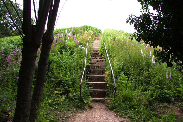
Blagrove Copse is a picturesque woodland located in the county of Berkshire, England. Situated near the village of Mortimer, this enchanting forest covers an area of approximately 32 hectares (80 acres). Known for its natural beauty and tranquil atmosphere, Blagrove Copse is a popular destination for nature lovers, hikers, and wildlife enthusiasts.
The copse is primarily composed of mixed deciduous trees, such as oak, beech, and birch, which create a dense canopy and provide a habitat for a variety of flora and fauna. The forest floor is adorned with a rich carpet of bluebells and wildflowers during the spring, adding to its allure.
Several well-maintained trails wind through Blagrove Copse, offering visitors the opportunity to explore and immerse themselves in its natural splendor. These paths cater to different levels of fitness, ensuring that everyone can enjoy the woodland at their own pace. Along the way, hikers may encounter a variety of wildlife, including deer, squirrels, and a diverse array of bird species.
Blagrove Copse also serves as an important ecological site, as it is home to various protected species and provides a vital corridor for wildlife movement. The woodland is well-managed by the local authorities, ensuring the conservation of its natural heritage for future generations to enjoy.
Overall, Blagrove Copse is a cherished natural gem in Berkshire, offering visitors a peaceful retreat from the hustle and bustle of everyday life. Its breathtaking scenery, diverse flora and fauna, and well-maintained trails make it a must-visit destination for nature enthusiasts in the region.
If you have any feedback on the listing, please let us know in the comments section below.
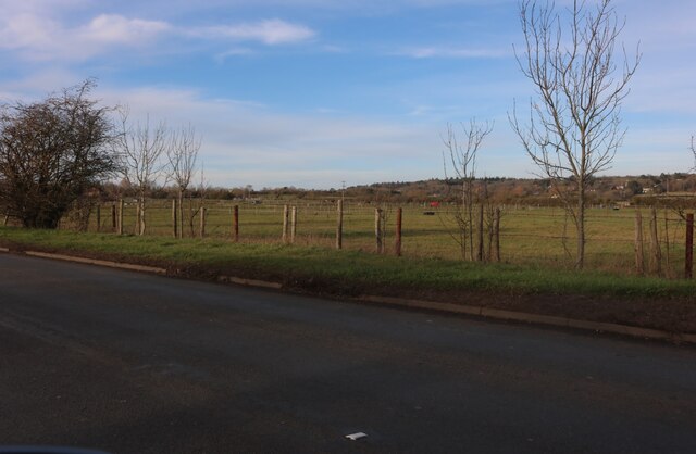
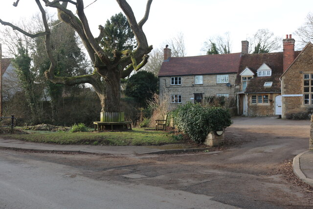
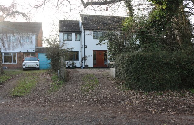
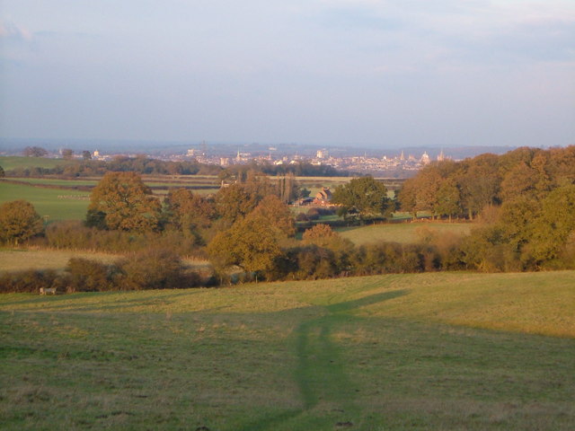
Blagrove Copse Images
Images are sourced within 2km of 51.70494/-1.2950151 or Grid Reference SP4800. Thanks to Geograph Open Source API. All images are credited.


Blagrove Copse is located at Grid Ref: SP4800 (Lat: 51.70494, Lng: -1.2950151)
Administrative County: Oxfordshire
District: Vale of White Horse
Police Authority: Thames Valley
What 3 Words
///stewing.doubt.restored. Near Abingdon, Oxfordshire
Nearby Locations
Related Wikis

Sunningwell
Sunningwell is a village and civil parish about 3+1⁄2 miles (6 km) south of Oxford, England. The parish includes the village of Bayworth and the eastern...
Midvale Ridge
The Midvale Ridge is a natural region in South Central England formed by a band of low-lying limestone hills that run from southeast to northwest from...
Boars Hill
Boars Hill is a hamlet 3 miles (5 km) southwest of Oxford, straddling the boundary between the civil parishes of Sunningwell and Wootton. Historically...

Wootton, Vale of White Horse
Wootton is a village and civil parish in the Vale of White Horse about 3 miles (5 km) north-west of Abingdon. It was part of Berkshire until the 1974 boundary...
Jarn Mound
Jarn Mound is a mound on Boars Hill which was completed in 1931. It was commissioned by Sir Arthur Evans to provide and preserve the view of the "dreaming...
Bayworth
Bayworth is a hamlet in the civil parish of Sunningwell about 3 miles (5 km) south of Oxford. Bayworth was part of Berkshire until the 1974 boundary changes...

Tilsley Park
Tilsley Park is an athletics stadium in Abingdon-on-Thames, Oxfordshire, which is home to Oxford Saints American Football Club. It is managed by Abingdon...
Chandlings
Chandlings, or Chandlings Prep School, known until 2007 as Chandlings Manor School, is an independent co-educational preparatory school at Bagley Wood...
Nearby Amenities
Located within 500m of 51.70494,-1.2950151Have you been to Blagrove Copse?
Leave your review of Blagrove Copse below (or comments, questions and feedback).