Young Copse
Wood, Forest in Berkshire
England
Young Copse
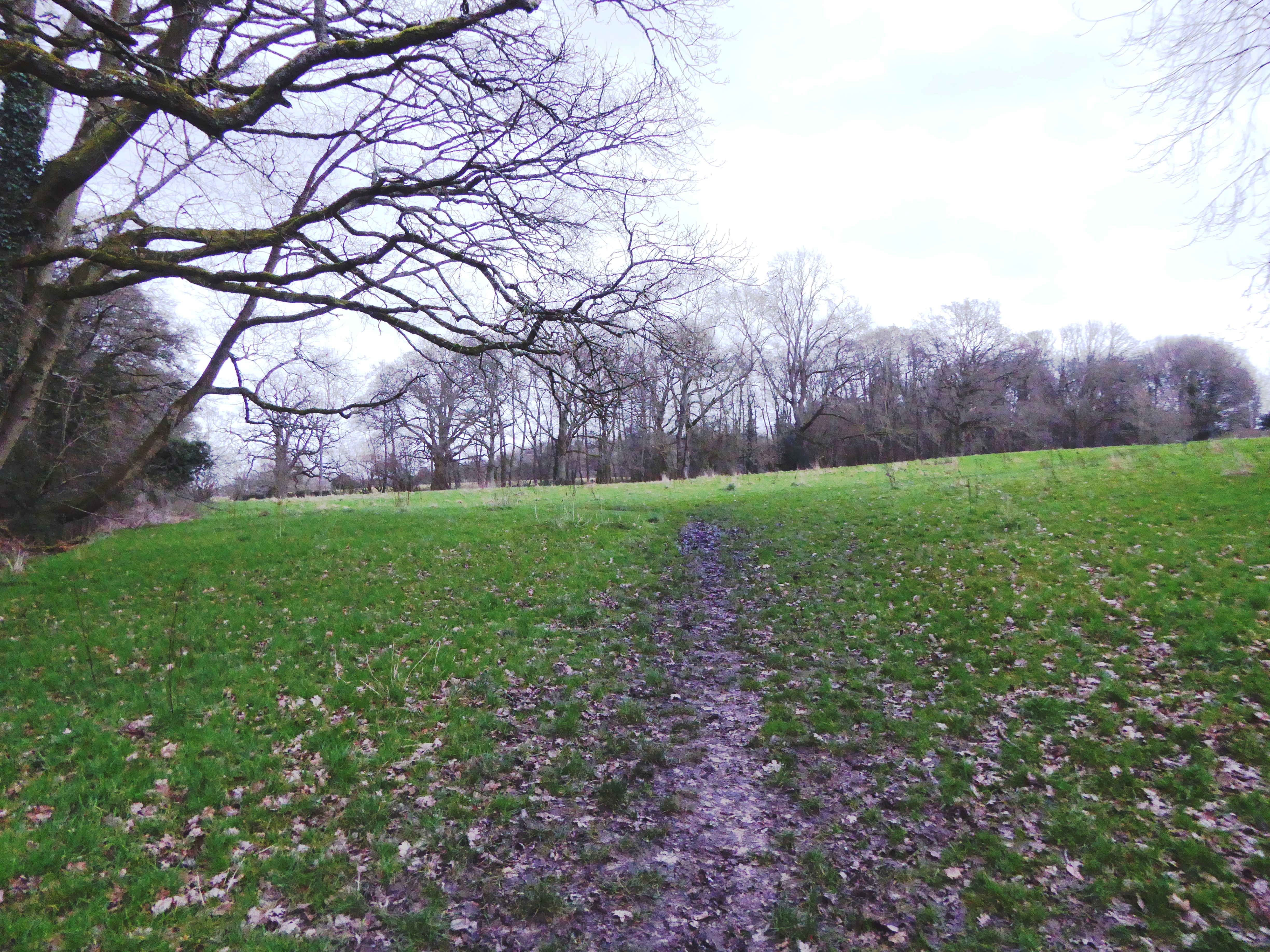
Young Copse is a picturesque woodland located in the county of Berkshire, England. Situated near the village of Bradfield, it covers an area of approximately 50 acres and is known for its diverse flora and fauna, making it a popular destination for nature enthusiasts and hikers.
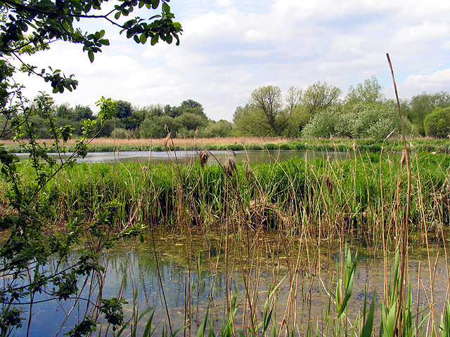
The copse is predominantly made up of broadleaf trees, including oak, beech, and birch, which create a dense canopy overhead, providing shade and shelter for various wildlife species. The forest floor is covered in a lush carpet of ferns, bluebells, and wildflowers, adding to the area's natural beauty.
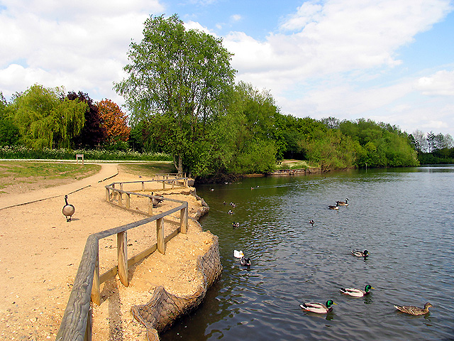
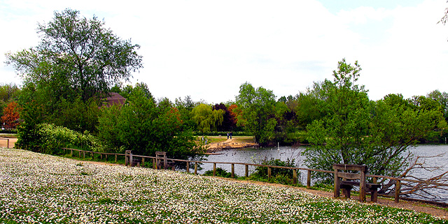
Traversing through Young Copse, visitors can find well-marked trails that wind their way through the woodland, allowing them to explore its hidden treasures. The paths are suitable for all ages and abilities, providing a gentle and enjoyable experience for families and individuals alike.
The copse is home to a wide range of wildlife, including deer, foxes, badgers, and a variety of bird species. Birdwatchers can spot woodpeckers, owls, and songbirds nesting in the trees, while the lucky observer may even catch a glimpse of a red kite soaring through the sky.
Young Copse is managed by the local forestry commission, ensuring its sustainability and preservation for future generations. The copse offers several amenities, including picnic areas, benches, and interpretive signs that provide information about the area's history and ecology.
In conclusion, Young Copse is a charming woodland in Berkshire, offering visitors the opportunity to immerse themselves in nature, discover its diverse wildlife, and enjoy a tranquil escape from the hustle and bustle of daily life.
If you have any feedback on the listing, please let us know in the comments section below.
Young Copse Images
Images are sourced within 2km of 51.391809/-1.3024379 or Grid Reference SU4866. Thanks to Geograph Open Source API. All images are credited.


Young Copse is located at Grid Ref: SU4866 (Lat: 51.391809, Lng: -1.3024379)
Unitary Authority: West Berkshire
Police Authority: Thames Valley
What 3 Words
///laptop.entertainer.book. Near Greenham, Berkshire
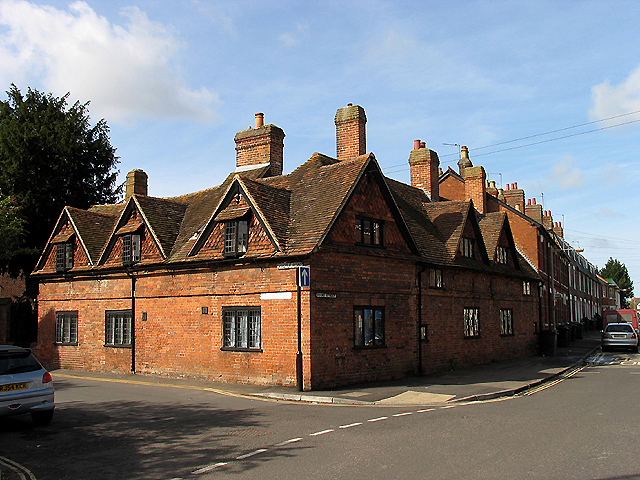
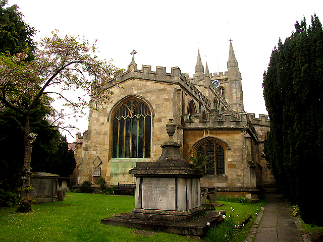
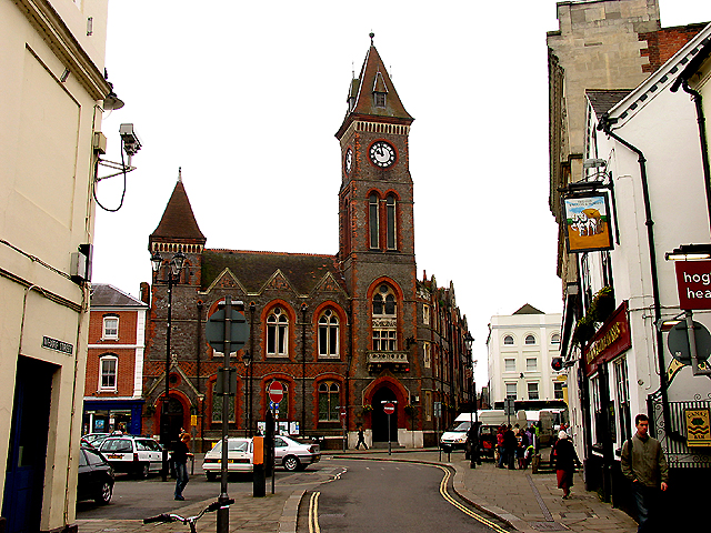
Nearby Locations
Related Wikis
Audrey's Meadow
Audrey's Meadow is a 2-hectare (4.9-acre) nature reserve in Newbury in Berkshire. It is owned by West Berkshire Council and managed by the Berkshire,...

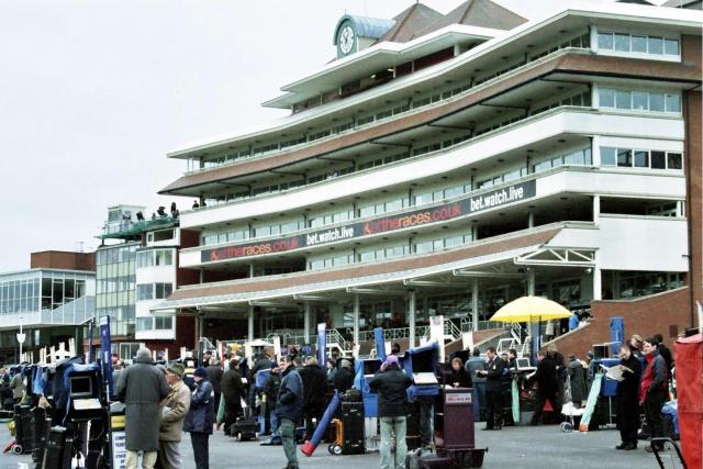
Newbury Racecourse
Newbury Racecourse is a racecourse and events venue in the civil parish of Greenham, adjoining the town of Newbury in Berkshire, England. It has courses...

Newbury Racecourse railway station
Newbury Racecourse railway station serves the East Fields area of the town of Newbury, Berkshire, England, and the adjacent Newbury Racecourse. It is 52...

Greenham
Greenham is a village and civil parish in Berkshire, England. Greenham commences immediately south-east of Newbury and is in West Berkshire. It was recorded...

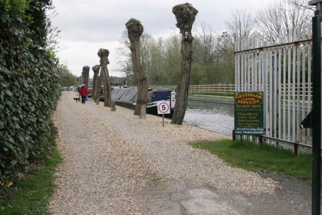
Ham Lock
Ham Lock is a lock on the Kennet and Avon Canal, at Newbury, Berkshire, England. Ham Lock was built between 1718 and 1723 under the supervision of the...
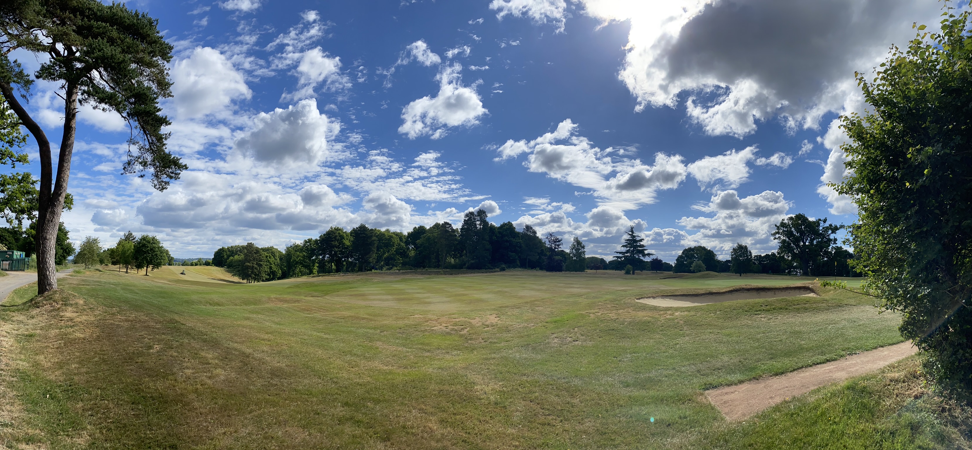
Newbury & Crookham Golf Club
Newbury & Crookham Golf Club is located about two miles from the centre of Newbury, Berkshire on the fringes of Greenham Common. The Club is the result...

River Lambourn
The River Lambourn is a chalk stream in the English county of Berkshire. It rises in the Berkshire Downs near its namesake village of Lambourn and is a...

Greenham Lock
Greenham Lock is a lock on the Kennet and Avon Canal, at Newbury, Berkshire, England. Greenham Lock was built between 1718 and 1723 under the supervision...
Nearby Amenities
Located within 500m of 51.391809,-1.3024379Have you been to Young Copse?
Leave your review of Young Copse below (or comments, questions and feedback).