Southridge Copse
Wood, Forest in Hampshire Winchester
England
Southridge Copse
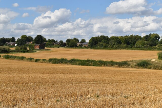
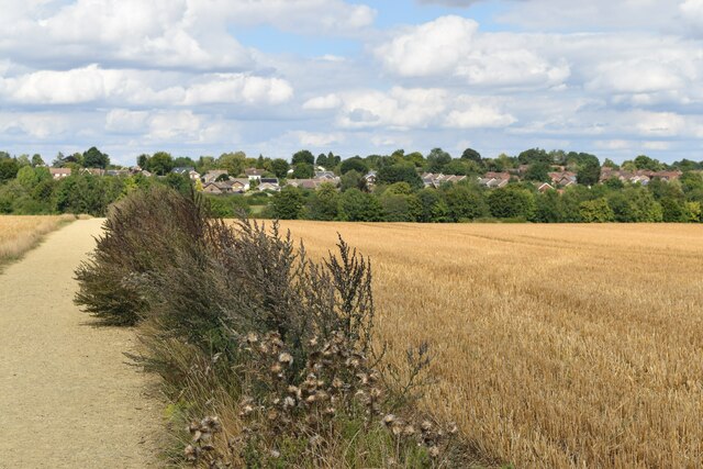
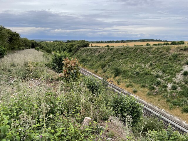
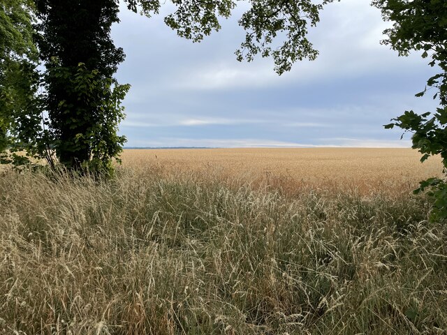
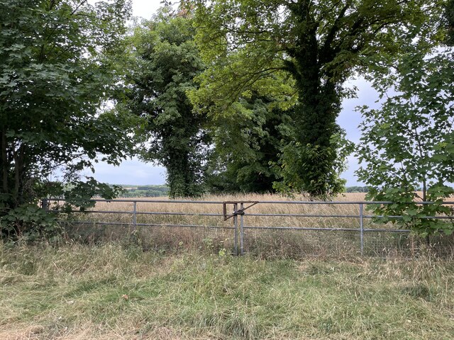
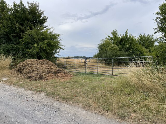
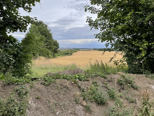
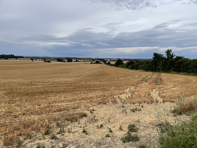
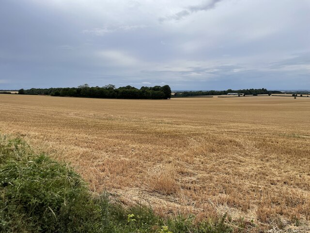
Southridge Copse is a picturesque woodland located in Hampshire, England. Covering an area of approximately 50 acres, it is a popular destination for nature lovers and outdoor enthusiasts. The copse is situated on the outskirts of a small village, surrounded by rolling hills and charming countryside.
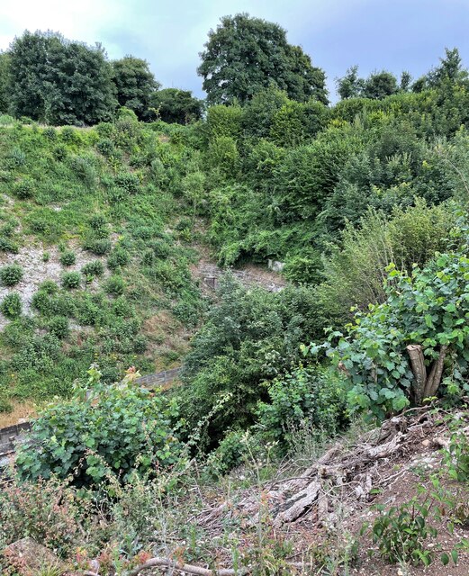
The woodland is predominantly made up of deciduous trees, including oak, beech, and ash, which create a dense canopy overhead. The forest floor is adorned with a rich carpet of bluebells in the spring, adding a vibrant burst of color to the landscape. Southridge Copse is also home to a diverse range of wildlife, including deer, badgers, foxes, and a variety of bird species.
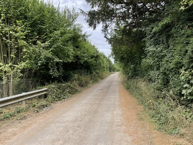
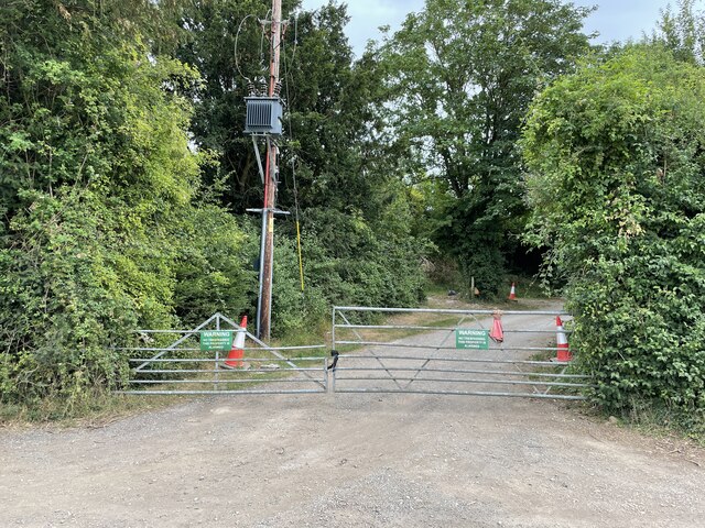
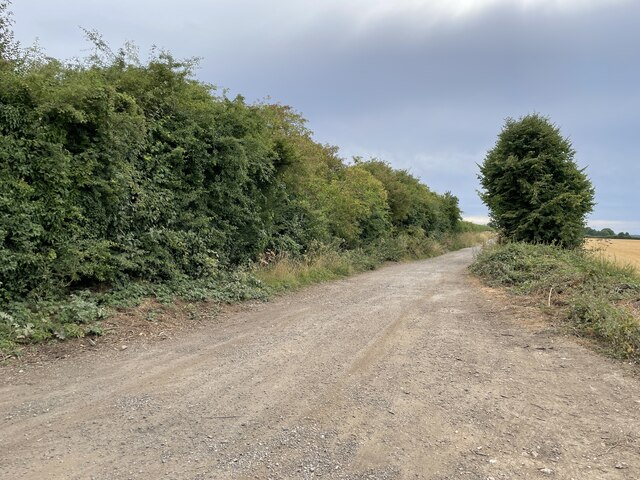
Tranquil pathways wind their way through the copse, offering visitors the opportunity to explore its natural beauty. These trails are well-maintained and suitable for walkers of all ages and abilities. Along the way, benches and picnic spots are strategically placed, providing a peaceful setting to rest and take in the surroundings.
Southridge Copse is a designated Site of Special Scientific Interest (SSSI), highlighting its ecological importance. It serves as a habitat for rare and endangered species, including the silver-washed fritillary butterfly and the lesser spotted woodpecker. Conservation efforts are in place to preserve the copse and protect its unique flora and fauna.
Visitors to Southridge Copse can enjoy a range of activities, from birdwatching and nature photography to simply immersing themselves in the serenity of the woodland. The copse is open to the public year-round, and admission is free, making it an accessible and cherished natural gem in the Hampshire countryside.
If you have any feedback on the listing, please let us know in the comments section below.
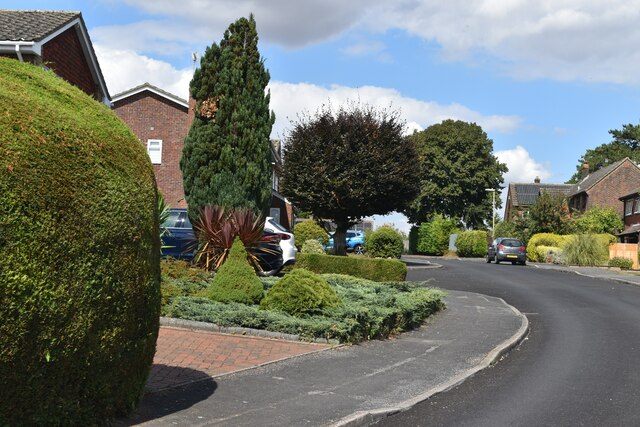
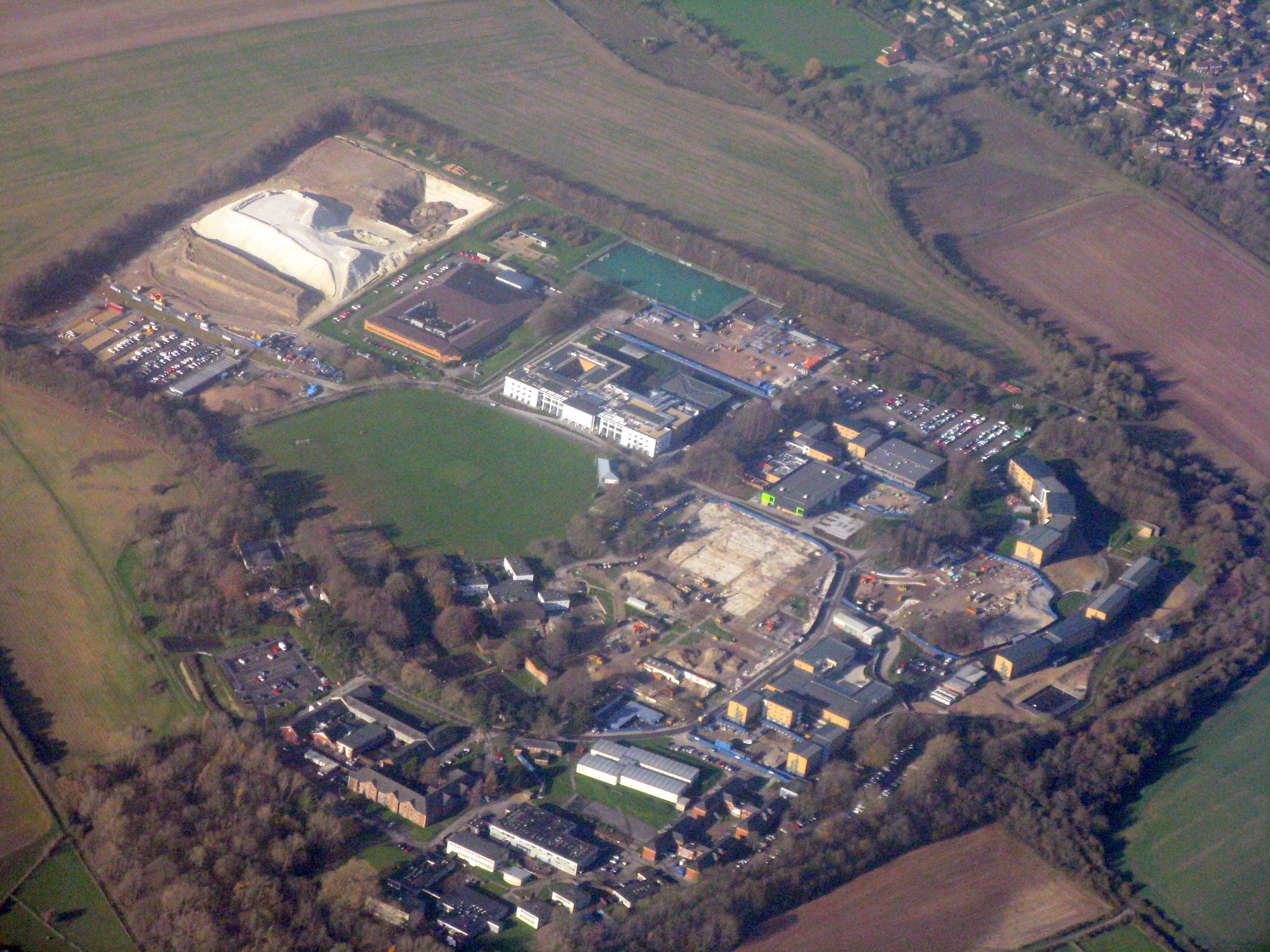
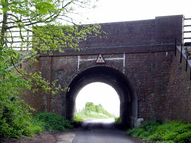
Southridge Copse Images
Images are sourced within 2km of 51.122415/-1.3094592 or Grid Reference SU4836. Thanks to Geograph Open Source API. All images are credited.


Southridge Copse is located at Grid Ref: SU4836 (Lat: 51.122415, Lng: -1.3094592)
Administrative County: Hampshire
District: Winchester
Police Authority: Hampshire
What 3 Words
///bespoke.mainframe.sand. Near Kings Worthy, Hampshire
Nearby Locations
Related Wikis
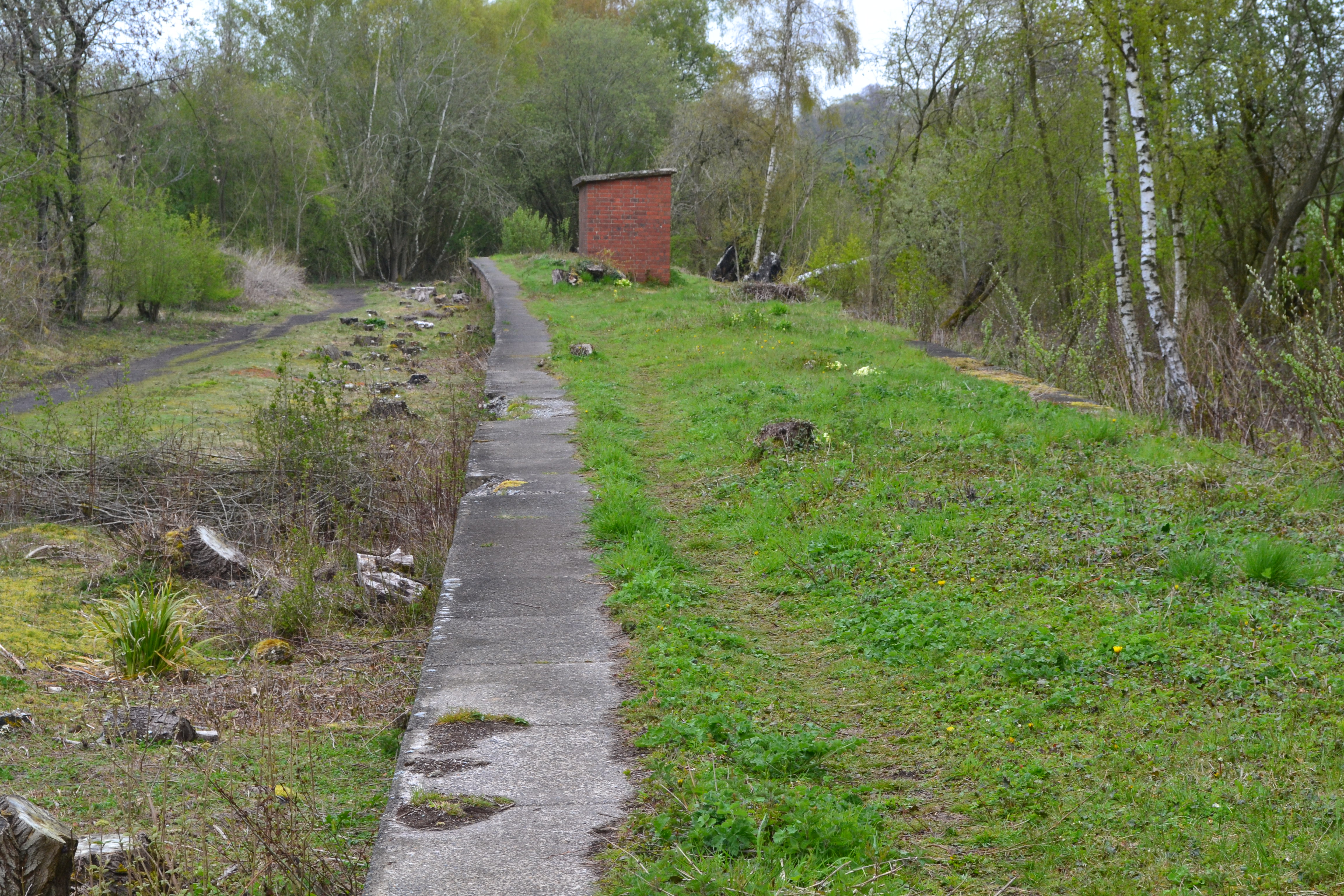
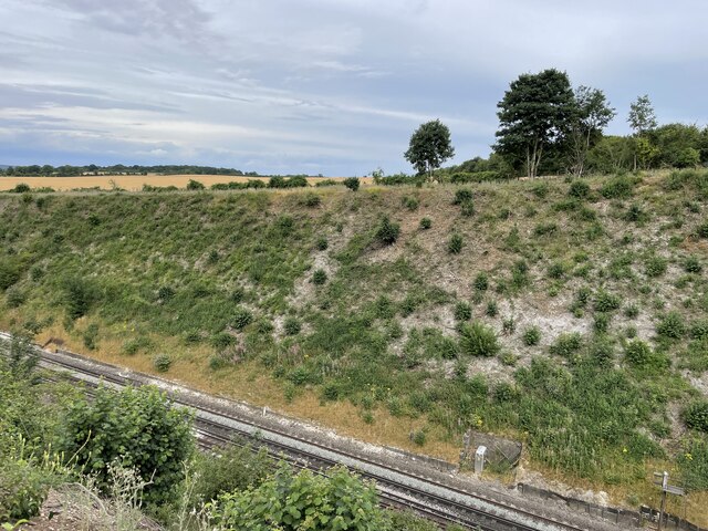
Worthy Down Halt railway station
Worthy Down Halt railway station was built in 1918 as a small single platform halt to serve the Royal Flying Corps (later RAF) depot nearby. It included...

Royal Logistic Corps Museum
The Royal Logistic Corps Museum is based at Worthy Down near Winchester. It tells story of logistic support to the British Army from Agincourt to the...

RAF Worthy Down
Royal Air Force Worthy Down, or simply RAF Worthy Down, was a Royal Air Force station built in 1918, 3.5 miles (6 km) north of Winchester, Hampshire, England...
Worthy Down Camp
Worthy Down Camp is a tri-service establishment near Winchester, in Hampshire, England. It forms part of the wider Winchester Garrison and houses the headquarters...
South Wonston
South Wonston is a village on the outskirts of the City of Winchester district of Hampshire, England. The population of the parish of South Wonston was...
Weston Colley
Weston Colley is a hamlet of about twenty dwellings, adjacent to (and within the parish of) Micheldever, Winchester, Hampshire, England. It is within the...

Stoke Charity
Stoke Charity is a small village and former civil parish, now in the parish of Wonston, in the City of Winchester district of Hampshire, England. It is...
Wonston
Wonston is a village and civil parish in the City of Winchester district of Hampshire, England. The village had 1446 usual residents as of Census day 2011...
Nearby Amenities
Located within 500m of 51.122415,-1.3094592Have you been to Southridge Copse?
Leave your review of Southridge Copse below (or comments, questions and feedback).