Dalton Wood
Wood, Forest in Yorkshire Selby
England
Dalton Wood
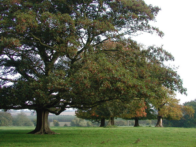
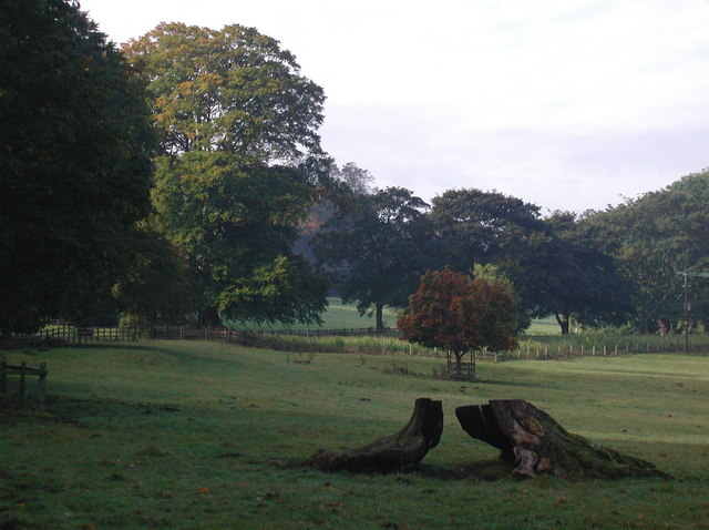
Dalton Wood, located in Yorkshire, England, is a picturesque forest area known for its natural beauty and tranquility. Spanning approximately 100 acres, this woodland oasis is a popular destination for nature enthusiasts and outdoor adventurers alike.
The wood is characterized by its dense and diverse tree population, including oak, birch, and beech trees, which provide a rich and vibrant canopy overhead. The forest floor is covered with an array of wildflowers, ferns, and mosses, creating a lush and enchanting atmosphere.
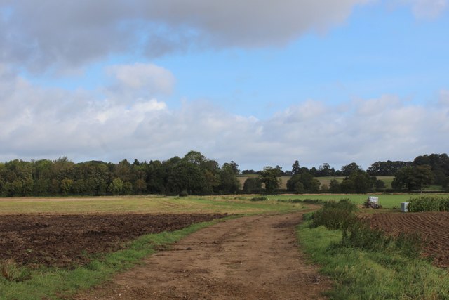
Dalton Wood offers a variety of walking trails, ranging from easy strolls to more challenging hikes, catering to all levels of fitness and experience. The paths wind through the forest, leading visitors past babbling brooks, small ponds, and hidden clearings, offering numerous opportunities for peaceful contemplation and wildlife spotting.
Wildlife thrives in Dalton Wood, with a wide range of species calling this forest their home. Visitors may catch glimpses of deer, foxes, rabbits, and a multitude of bird species, including woodpeckers and owls. The wood also supports a diverse insect population, with butterflies and dragonflies fluttering among the foliage.
For those seeking a more immersive experience, Dalton Wood offers camping facilities, allowing visitors to spend the night under the stars and awaken to the sounds of nature. The campsite provides basic amenities, including toilets and fire pits, while still maintaining a rustic and unspoiled atmosphere.
Overall, Dalton Wood is a haven for nature lovers, offering a peaceful retreat from the hustle and bustle of everyday life. Its stunning landscapes, diverse flora and fauna, and range of recreational opportunities make it a must-visit destination for anyone seeking solace in the heart of Yorkshire.
If you have any feedback on the listing, please let us know in the comments section below.
Dalton Wood Images
Images are sourced within 2km of 53.862545/-1.2652298 or Grid Reference SE4840. Thanks to Geograph Open Source API. All images are credited.


Dalton Wood is located at Grid Ref: SE4840 (Lat: 53.862545, Lng: -1.2652298)
Division: West Riding
Administrative County: North Yorkshire
District: Selby
Police Authority: North Yorkshire
What 3 Words
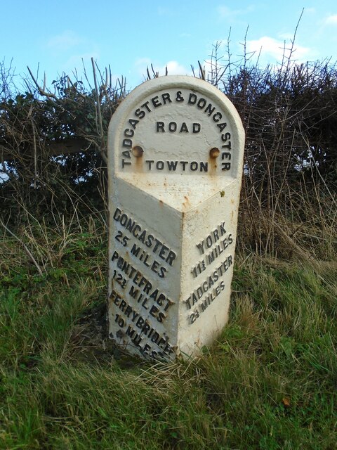
///holiday.insulated.caged. Near Tadcaster, North Yorkshire
Nearby Locations
Related Wikis

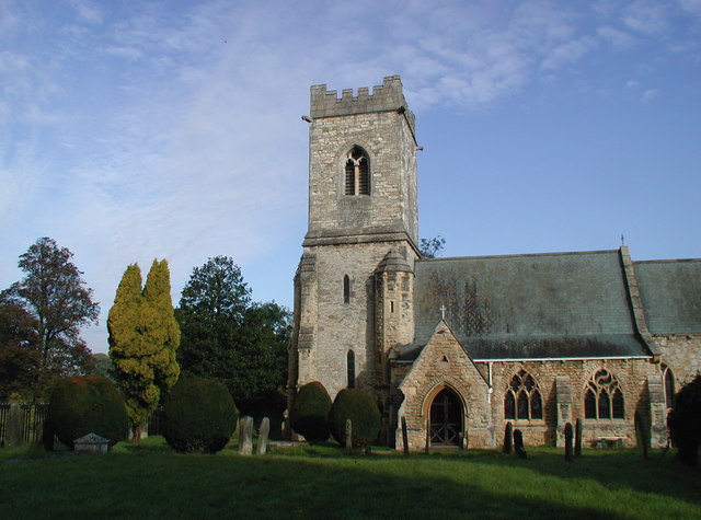
Stutton railway station
Stutton railway station was a railway station in Stutton, North Yorkshire, on the Harrogate to Church Fenton Line. The station opened on 10 August 1847...
Stutton, North Yorkshire
Stutton is a small village in the Selby District of North Yorkshire, England, a mile south-west of Tadcaster. It lies in the valley of the Cock Beck which...

Towton Hall
Towton Hall is a mansion, a home, near the village of Towton in North Yorkshire, England. The building, known to been built as a residence in the seventeenth...
Towton
Towton is a small village and civil parish in the Selby District of North Yorkshire, England. It was historically part of the West Riding of Yorkshire...
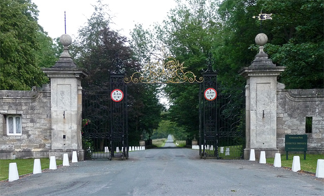
Grimston Park
Grimston Park is a grade II* listed Georgian country house in Grimston, North Yorkshire, England, some 1.7 miles (3 km) south of Tadcaster. Since being...
Grimston, Selby
Grimston is a civil parish about 8 miles from York, in North Yorkshire, England. In 2001 the parish had a population of 59. The parish touches Bolton Percy...
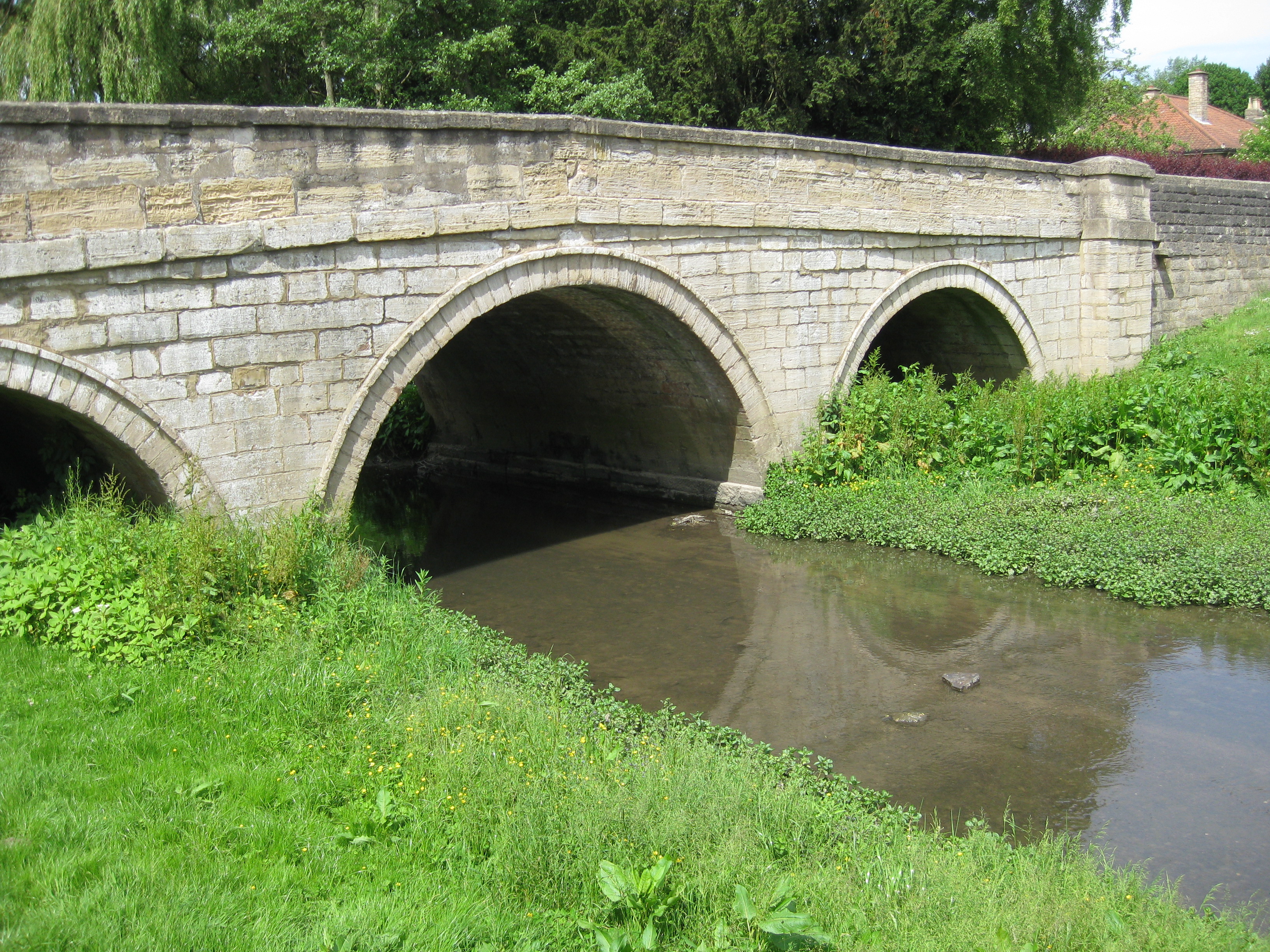
Cock Beck
Cock Beck is a stream in the outlying areas of East Leeds, West Yorkshire, England, which runs from its source due to a runoff north-west of Whinmoor,...
Kirkby Wharfe
Kirkby Wharfe is a village 1.9 miles (3 km) south of Tadcaster, in North Yorkshire, England. The village is in the civil parish of Kirkby Wharfe with North...
Nearby Amenities
Located within 500m of 53.862545,-1.2652298Have you been to Dalton Wood?
Leave your review of Dalton Wood below (or comments, questions and feedback).