Hamble Copse
Wood, Forest in Hampshire Eastleigh
England
Hamble Copse
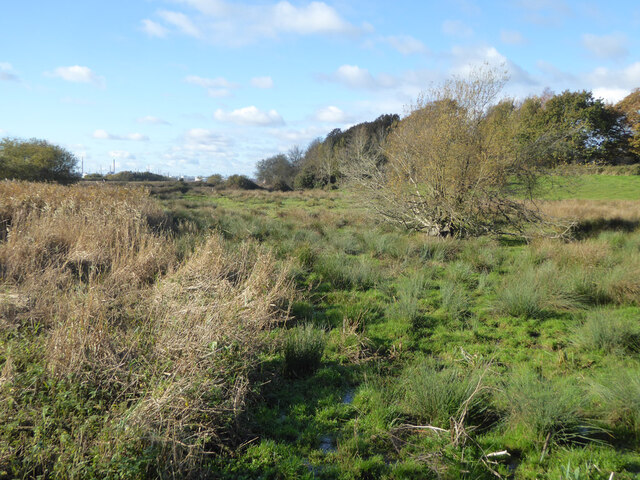
Hamble Copse is a picturesque woodland located in Hampshire, England. Spanning approximately 50 acres, it is known for its natural beauty and diverse ecosystem. The copse is situated near the village of Hamble-le-Rice, just a few miles away from Southampton.
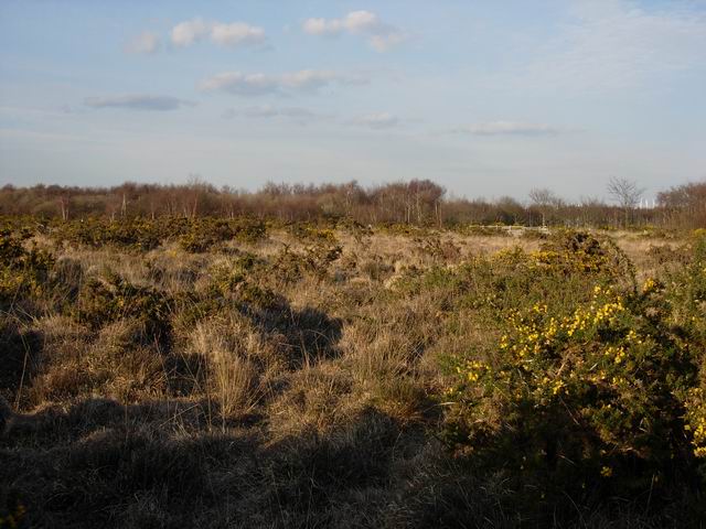
The woodland consists of a mix of broadleaf trees, including oak, beech, and ash, which create a dense canopy, offering shade and shelter for a variety of wildlife. The forest floor is covered with a rich carpet of wildflowers, ferns, and mosses, adding to its enchanting atmosphere.
Hamble Copse is a popular destination for nature enthusiasts, hikers, and birdwatchers. The copse is home to a plethora of bird species, such as woodpeckers, jays, and song thrushes. Visitors can often spot squirrels scurrying through the trees and rabbits darting across the forest floor.
The woodland is crisscrossed by a network of well-maintained paths, allowing visitors to explore its beauty at their leisure. These paths also provide access to a small stream that runs through the copse, adding to its natural charm. Additionally, there are several picnic areas and benches scattered throughout the woodland, providing a perfect spot for visitors to relax and enjoy the tranquility of the surroundings.
Hamble Copse offers a peaceful retreat from the hustle and bustle of everyday life, providing a haven for both wildlife and humans alike. Its natural beauty and diverse ecosystem make it a true gem within Hampshire's countryside.
If you have any feedback on the listing, please let us know in the comments section below.
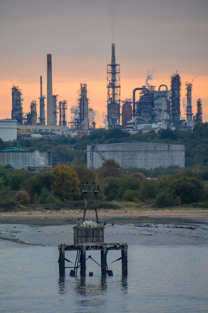
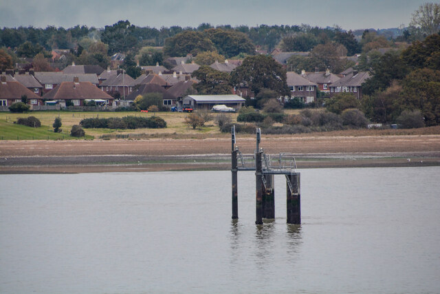
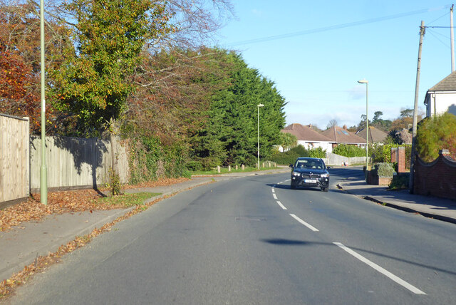
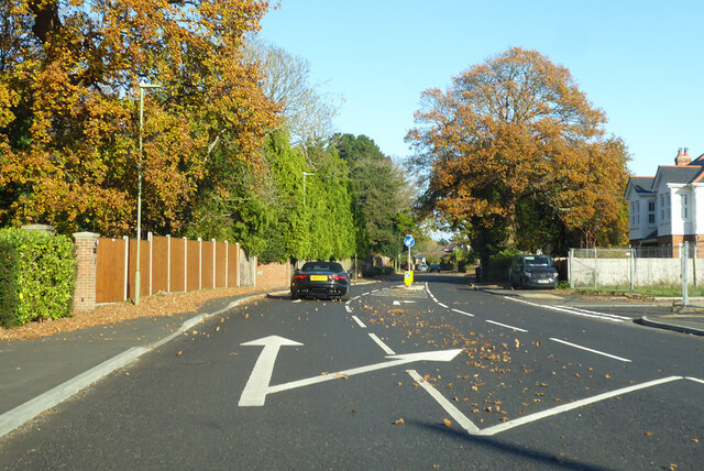
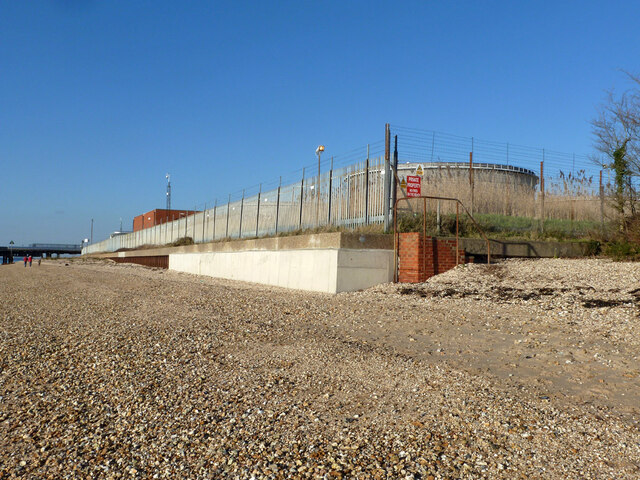
Hamble Copse Images
Images are sourced within 2km of 50.854197/-1.3198758 or Grid Reference SU4706. Thanks to Geograph Open Source API. All images are credited.


Hamble Copse is located at Grid Ref: SU4706 (Lat: 50.854197, Lng: -1.3198758)
Administrative County: Hampshire
District: Eastleigh
Police Authority: Hampshire
What 3 Words
///positions.trainer.monday. Near Hamble-le-Rice, Hampshire
Nearby Locations
Related Wikis

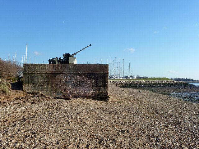
St Andrew's Castle, Hamble
St Andrew's Castle was an artillery fort constructed by Henry VIII near Hamble-le-Rice, Hampshire, between 1542 and 1543. It formed part of the King's...

Hamble-le-Rice
Hamble-le-Rice, commonly known as Hamble, is a village and civil parish in the Borough of Eastleigh in Hampshire, England. It is best known for being an...
Hamble Common Camp
Hamble Common Camp is the site of an Iron Age promontory hillfort located in Hampshire. The fort is located on Hamble common on a peninsula of land formed...

Royal Southern Yacht Club
The Royal Southern Yacht Club is a yacht club in Hamble-le-Rice, Hampshire, England. == History == It was established in 1837...

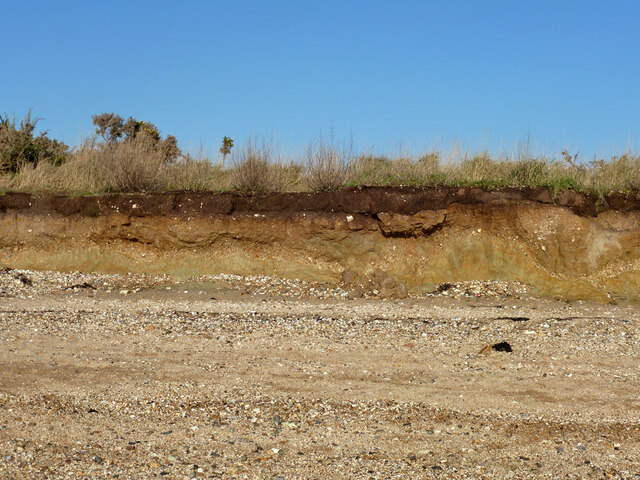
Lee-on-The Solent to Itchen Estuary
Lee-on-The Solent to Itchen Estuary is a 585.9-hectare (1,448-acre) biological and geological Site of Special Scientific Interest which stretches along...

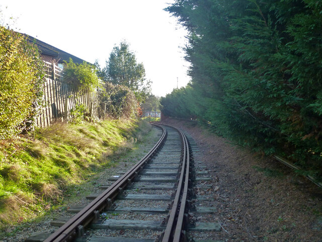
Hamble Rail Trail
The Hamble Rail Trail is a 4.5-mile-long (7.2 km) circular footpath in Hampshire, southern England, comprising a path which runs alongside a disused railway...

Folland Sports F.C.
Folland Sports Football Club is a football club based in Hamble-le-Rice, near Southampton, in Hampshire, England. They are currently members of the Wessex...

Warsash
Warsash is a village in southern Hampshire, England, situated at the mouth of the River Hamble, west of the area known as Locks Heath and south of Sarisbury...
Nearby Amenities
Located within 500m of 50.854197,-1.3198758Have you been to Hamble Copse?
Leave your review of Hamble Copse below (or comments, questions and feedback).