West Moor

Wood, Forest in Yorkshire Hambleton

England

West Moor

Boltby Forest Looking south.
Boltby Forest Credit: T Eyre

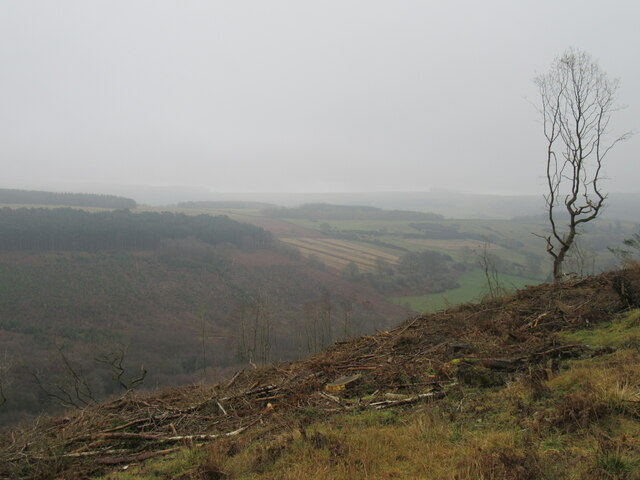
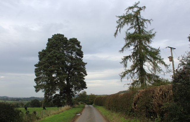
West Moor is a small village located in the county of Yorkshire, England. Situated within the stunning landscape of the Yorkshire Dales, West Moor is known for its abundant woodlands and forests, which have earned it the nickname "Wood, Forest". The village is surrounded by rolling hills, providing breathtaking views of the countryside.

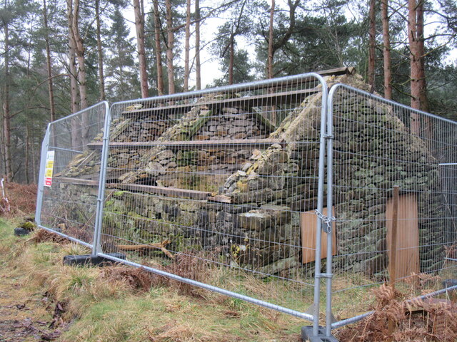
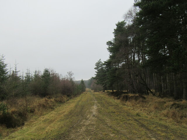
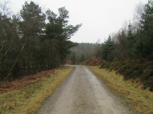
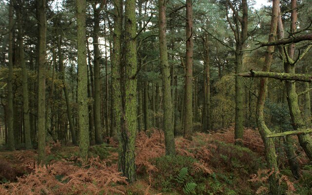
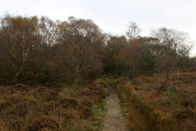
The main feature of West Moor is its extensive woodland areas, which cover a significant portion of the village's land. These forests are home to a diverse range of flora and fauna, making it an ideal destination for nature enthusiasts and wildlife lovers. Many species of birds, mammals, and plants can be found within these woodlands, making it a popular spot for birdwatching and hiking.

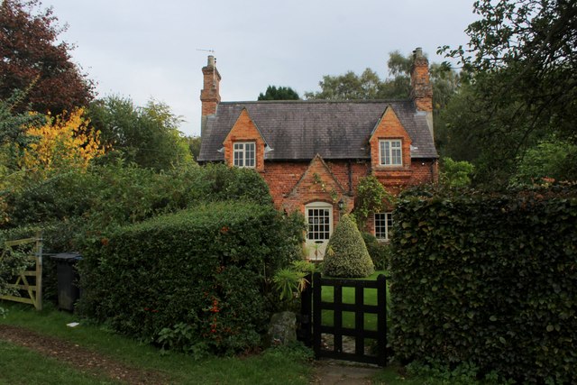
The village itself is small and quaint, with a tight-knit community that takes pride in preserving the natural beauty of the area. The residents of West Moor are known for their friendliness and hospitality, often welcoming visitors with open arms. The village has a few essential amenities, including a local pub and a small convenience store, catering to the needs of both the residents and tourists.

West Moor offers a tranquil and peaceful environment, making it a popular destination for those seeking a break from the hustle and bustle of city life. Its proximity to the Yorkshire Dales National Park provides ample opportunities for outdoor activities such as walking, cycling, and picnicking. The village's charm and natural beauty make it an attractive place to visit for anyone looking to explore the stunning landscapes of Yorkshire.

If you have any feedback on the listing, please let us know in the comments section below.
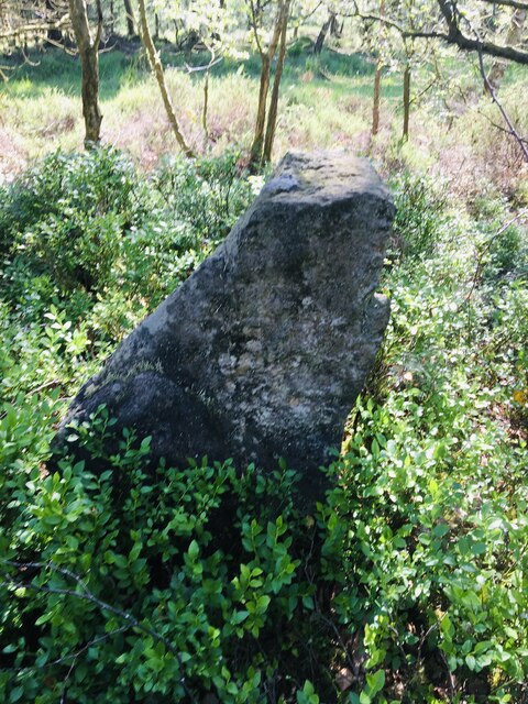
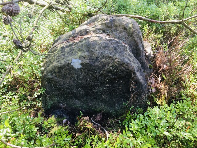
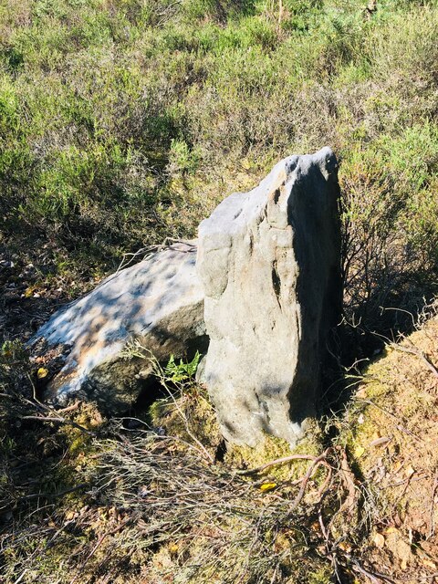
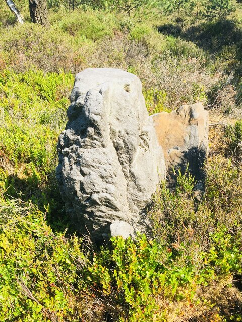
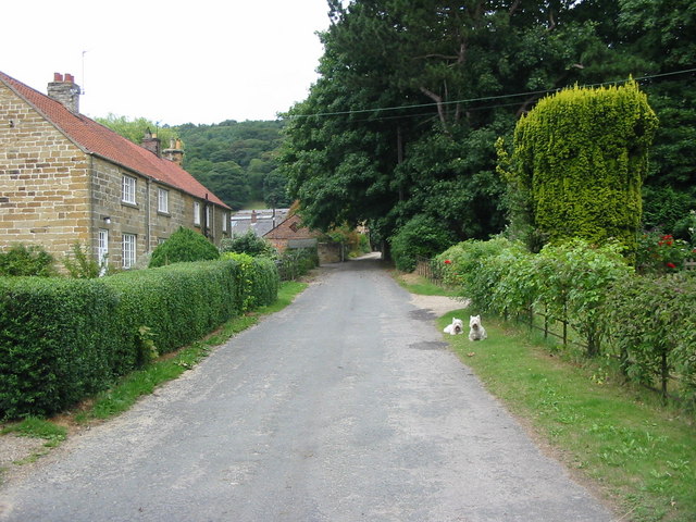
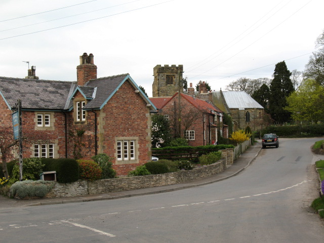
West Moor Images

Images are sourced within 2km of 54.281663/-1.2653051 or Grid Reference SE4787. Thanks to Geograph Open Source API. All images are credited.

Boltby Forest Looking south.
Boltby Forest
Looking south.
Ruin in Boltby Forest A ruined building in Boltby Forest.
Ruin in Boltby Forest
A ruined building in Boltby Forest.
Kirby Knowle Moor Part of Boltby Forest.
Kirby Knowle Moor
Part of Boltby Forest.
The Gurtof valley The valley of Gurtof Beck in Boltby Forest.
The Gurtof valley
The valley of Gurtof Beck in Boltby Forest.
Track in Boltby Forest A gravel track in Boltby Forest.
Track in Boltby Forest
A gravel track in Boltby Forest.
Old Boundary Marker on Kirby Knowle Moor Boundary Marker on Kirby Knowle Moor, 240 metres south of Cote Hill. On the boundary of Kirby Knowle and Boltby parishes.

Milestone Society National ID: YN_KKNBO01bm
Old Boundary Marker on Kirby Knowle Moor
Boundary Marker on Kirby Knowle Moor, 240 metres south of Cote Hill. On the boundary of Kirby Knowle and Boltby parishes. Milestone Society National ID: YN_KKNBO01bm
Old Boundary Marker on Kirby Knowle Moor Boundary Marker on Kirby Knowle Moor, 480 metres south of Cote Hill. On the boundary of Kirby Knowle and Boltby parishes.

Milestone Society National ID: YN_KKNBO02bm
Old Boundary Marker on Kirby Knowle Moor
Boundary Marker on Kirby Knowle Moor, 480 metres south of Cote Hill. On the boundary of Kirby Knowle and Boltby parishes. Milestone Society National ID: YN_KKNBO02bm
Old Boundary Marker on Kirby Knowle Moor Boundary Marker on Kirby Knowle Moor, 830 metres south of Cote Hill. On the boundary of Kirby Knowle and Boltby parishes.

Milestone Society National ID: YN_KKNBO03bm
Old Boundary Marker on Kirby Knowle Moor
Boundary Marker on Kirby Knowle Moor, 830 metres south of Cote Hill. On the boundary of Kirby Knowle and Boltby parishes. Milestone Society National ID: YN_KKNBO03bm
Old Boundary Marker on Kirby Knowle Moor Boundary Marker on Kirby Knowle Moor, 920 metres south of Cote Hill. On the boundary of Kirby Knowle and Boltby parishes.

Milestone Society National ID: YN_KKNBO04bm
Old Boundary Marker on Kirby Knowle Moor
Boundary Marker on Kirby Knowle Moor, 920 metres south of Cote Hill. On the boundary of Kirby Knowle and Boltby parishes. Milestone Society National ID: YN_KKNBO04bm
Old Boundary Marker on Kirby Knowle Moor Boundary Marker on Kirby Knowle Moor, 1070 metres south of Cote Hill. On the boundary of Kirby Knowle and Boltby parishes.

Milestone Society National ID: YN_KKNBO05bm
Old Boundary Marker on Kirby Knowle Moor
Boundary Marker on Kirby Knowle Moor, 1070 metres south of Cote Hill. On the boundary of Kirby Knowle and Boltby parishes. Milestone Society National ID: YN_KKNBO05bm
Public Footpath leading South from Boltby
Footpath heading South towards Boltby
Track in Boltby Forest
Tree Felling Aftermath in Boltby Forest Scene of desolation after the chainsaws have vacated this area of Boltby Forest
Tree Felling Aftermath in Boltby Forest
Scene of desolation after the chainsaws have vacated this area of Boltby Forest
Boltby Forest A square almost entirely composed of trees of the conifer type
Boltby Forest
A square almost entirely composed of trees of the conifer type
Bridleway on Kirby Knowle Moor
Brickshed Cottage Isolated dwelling located at the foot of the North York Moors escarpment and below Boltby Forest.
Brickshed Cottage
Isolated dwelling located at the foot of the North York Moors escarpment and below Boltby Forest.
Ruddings Lane Section of quiet country lane between Kirby Knowle and Cowesby - outside Brickshed Cottage
Ruddings Lane
Section of quiet country lane between Kirby Knowle and Cowesby - outside Brickshed Cottage
Show me another place!

West Moor is located at Grid Ref: SE4787 (Lat: 54.281663, Lng: -1.2653051)

Division: North Riding

Administrative County: North Yorkshire

District: Hambleton

Police Authority: North Yorkshire

What 3 Words

///duke.evaporate.newer. Near Thirsk, North Yorkshire

Related Wikis

Kirby Knowle

Kirby Knowle is a village and civil parish in Hambleton District of North Yorkshire, England, on the border of the North Yorkshire Moors and near Upsall...

Holy Trinity Church, Boltby

Holy Trinity Church, Boltby is a parish church in the Church of England: 81  in Boltby. == History == The first chapel was founded in 1409 and was rebuilt...

Boltby

Boltby is a village and civil parish in the Hambleton District of North Yorkshire, England. It is on the edge of the North York Moors National Park at...

Upsall Castle

Upsall Castle is a fourteenth-century ruin, park and manor house in Upsall, in the Hambleton district of North Yorkshire, England. == History == Some records...

Cowesby

Cowesby is a village and civil parish in the Hambleton District of North Yorkshire, England. Part of the village including The Cowesby Hall Estate is within...

Upsall

Upsall is a hamlet in and civil parish in the Hambleton district of North Yorkshire, England. It is situated approximately four miles north-east of Thirsk...

Mount St. John Preceptory

Mount St. John Preceptory was a preceptory of the Knights Hospitallers near Felixkirk in North Yorkshire, England. == History == A preceptory to the honour...

Felixkirk

Felixkirk is a village and civil parish in the Hambleton District of North Yorkshire, England. The village is situated about three miles north-east of...

Nearby Amenities

Located within 500m of 54.281663,-1.2653051
Barrier: stile
Lat/Long: 54.2822585/-1.2580567
Barrier: stile
Lat/Long: 54.2827385/-1.2583195
Fixme: Where does the public footpath go from here?
Lat/Long: 54.2816543/-1.2579646
The data included in this document is from www.openstreetmap.org. The data is made available under ODbL.

Have you been to West Moor?

Leave your review of West Moor below (or comments, questions and feedback).