Batt's Lower Copse
Wood, Forest in Hampshire Basingstoke and Deane
England
Batt's Lower Copse

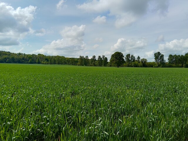
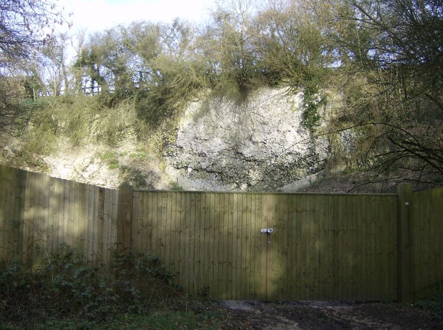
Batt's Lower Copse is a picturesque woodland located in Hampshire, England. Covering an area of approximately 50 hectares, it is a charming example of a mixed deciduous forest. The copse is situated within the South Downs National Park, which further enhances its natural beauty and ecological significance.
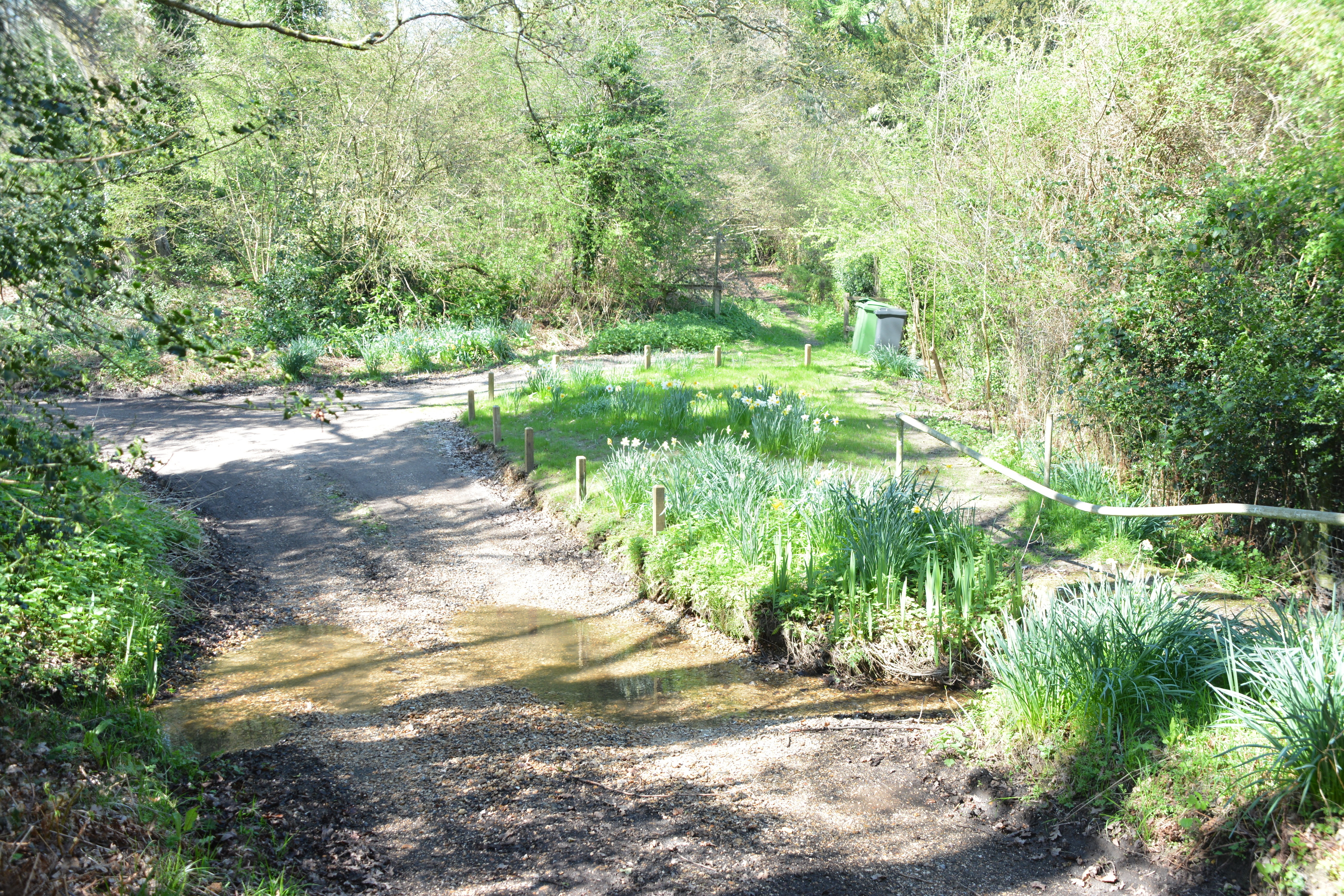
The woodland is characterized by a diverse range of tree species, including oak, beech, birch, and ash. These trees create a dense canopy that provides ample shade and shelter for various flora and fauna. Additionally, the forest floor is adorned with a rich carpet of bluebells and other wildflowers during the spring season, adding a vibrant touch to the landscape.
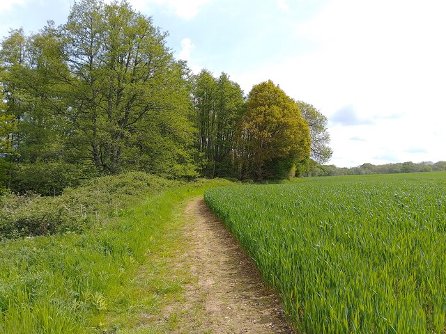
Batt's Lower Copse is not only a haven for nature enthusiasts but also a popular destination for recreational activities. There are well-maintained walking trails that meander through the wood, allowing visitors to explore its enchanting surroundings. The tranquil atmosphere and serene ambiance make it an ideal spot for picnics, birdwatching, and wildlife photography.
The copse is home to a variety of wildlife species, including deer, foxes, badgers, and a plethora of bird species. It serves as an important habitat for several rare and protected species, contributing to the region's biodiversity.
Managed by local authorities, Batt's Lower Copse is well-preserved and carefully monitored to ensure its ecological integrity. The wood provides a valuable green space for the community and serves as an educational resource for local schools and nature enthusiasts.
Overall, Batt's Lower Copse is a captivating woodland that showcases the natural beauty of Hampshire, offering a peaceful retreat for visitors and promoting the conservation of its diverse ecosystem.
If you have any feedback on the listing, please let us know in the comments section below.
Batt's Lower Copse Images
Images are sourced within 2km of 51.346299/-1.3141702 or Grid Reference SU4761. Thanks to Geograph Open Source API. All images are credited.


Batt's Lower Copse is located at Grid Ref: SU4761 (Lat: 51.346299, Lng: -1.3141702)
Administrative County: Hampshire
District: Basingstoke and Deane
Police Authority: Hampshire
What 3 Words
///monkeys.serve.aced. Near Highclere, Hampshire
Related Wikis

Clere School
The Clere School is a small co-educational community secondary school in Burghclere. Although its postcode locates to Reading via Newbury, it is in Hampshire...
Herbert Plantation
Herbert Plantation is a 25.6-hectare (63-acre) Local Nature Reserve north of Burghclere in Hampshire. It is owned by Hampshire County Council and managed...

Highclere railway station
Highclere railway station was a station on the Didcot, Newbury and Southampton Railway in England. It shares the name of the nearby village of Highclere...
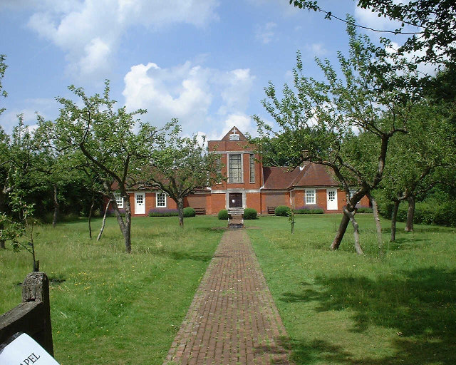
Sandham Memorial Chapel
Sandham Memorial Chapel is in the village of Burghclere, Hampshire, England. It is a Grade I listed, 1920s decorated chapel, designed by Lionel Godfrey...
North Sydmonton
North Sydmonton is a small village in the Basingstoke and Deane district of Hampshire, England. Its nearest town is Newbury, which lies approximately 4...
Duncroft Farm Pit
Duncroft Farm Pit is a 0.1-hectare (0.25-acre) geological Site of Special Scientific Interest west of Kingsclere in Hampshire. It is a Geological Conservation...

Newtown Common
Newtown Common is a village in the Basingstoke and Deane district of Hampshire, England. Its nearest town is Newbury, which lies approximately 2.5 miles...
Horris Hill School
Horris Hill, is an independent day and boarding preparatory school for boys aged 4–13. It is located in Berkshire in England, south of Newbury in West...
Nearby Amenities
Located within 500m of 51.346299,-1.3141702Have you been to Batt's Lower Copse?
Leave your review of Batt's Lower Copse below (or comments, questions and feedback).