Berrymere Copse
Wood, Forest in Berkshire Vale of White Horse
England
Berrymere Copse
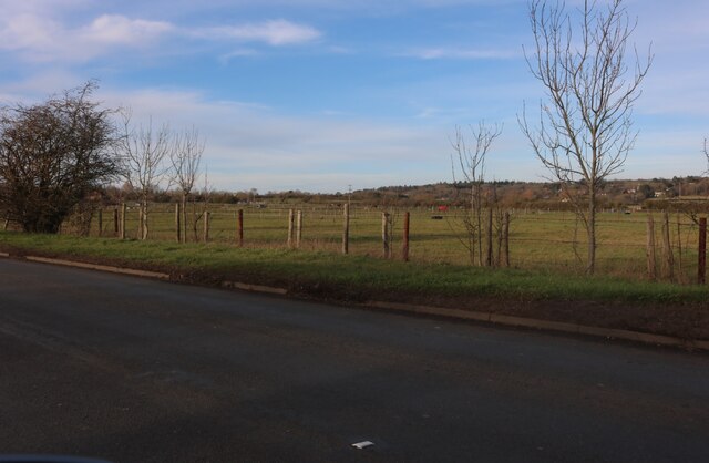
Berrymere Copse is a picturesque woodland located in Berkshire, England. Situated near the town of Woodley, the copse covers an area of approximately 10 acres and is known for its natural beauty and diverse flora and fauna.
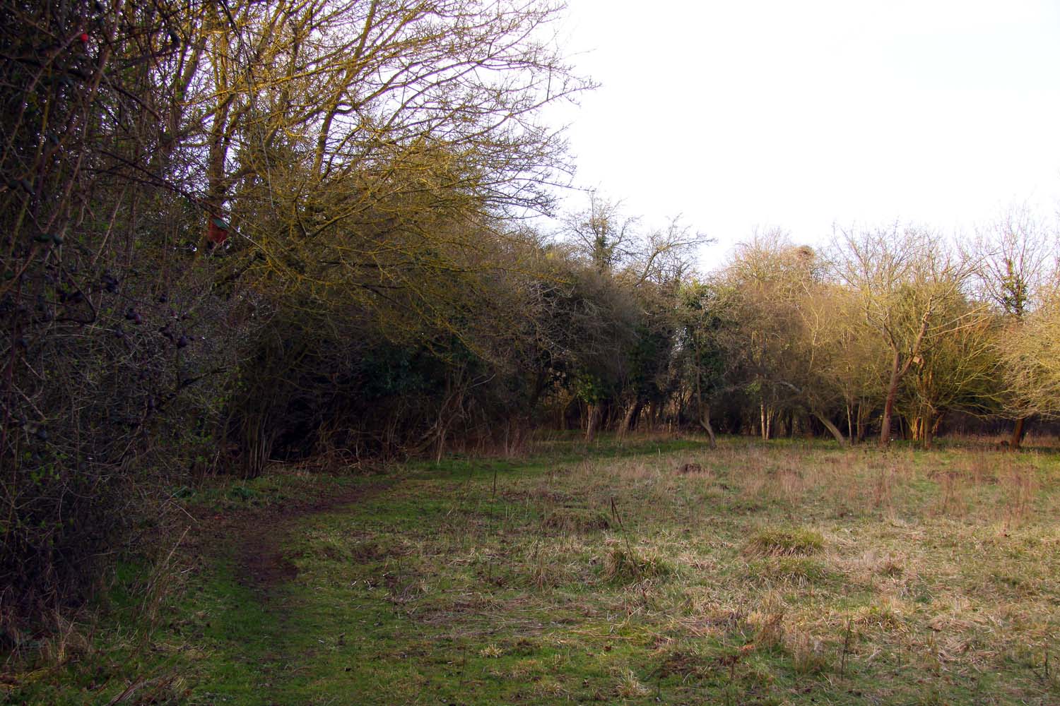
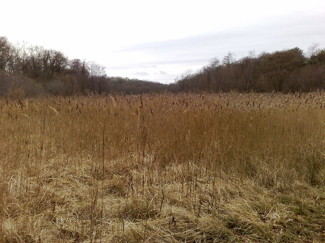
The woodland is predominantly made up of native broadleaf trees, including oak, beech, and birch. These towering trees create a dense canopy that provides shelter and habitat for a variety of wildlife species. The forest floor is covered in a rich carpet of wildflowers, ferns, and mosses, adding to the copse's enchanting atmosphere.
Berrymere Copse is home to a wide range of animals, including deer, foxes, badgers, and numerous bird species. Birdwatchers often visit the copse to catch a glimpse of resident species such as great spotted woodpeckers, tawny owls, and blue tits. The copse also serves as an important breeding ground for many woodland birds, making it an excellent location for bird enthusiasts.
The copse is a popular destination for nature lovers and walkers, with several well-maintained footpaths winding through its peaceful surroundings. These paths allow visitors to explore the woodland's hidden corners, discover its diverse plant life, and enjoy the tranquility of the natural environment.
Berrymere Copse is not only a haven for wildlife but also a valuable resource for the local community. It provides a peaceful retreat from the hustle and bustle of urban life and offers opportunities for outdoor education and recreation. Whether it is a leisurely stroll, birdwatching, or simply immersing oneself in the beauty of nature, Berrymere Copse offers a serene and rejuvenating experience for all who visit.
If you have any feedback on the listing, please let us know in the comments section below.
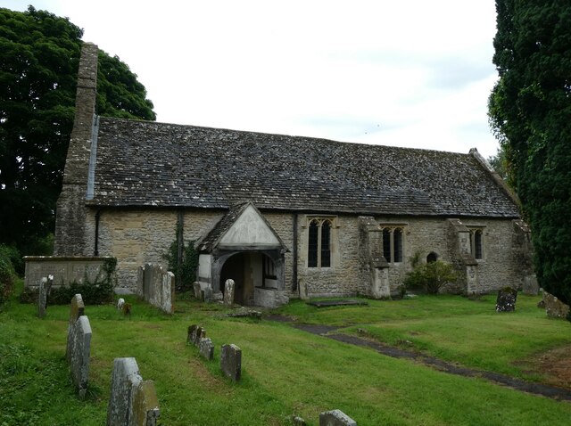
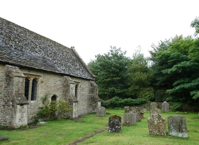
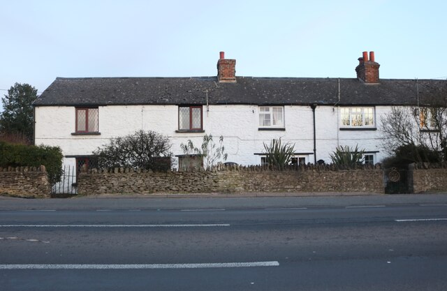
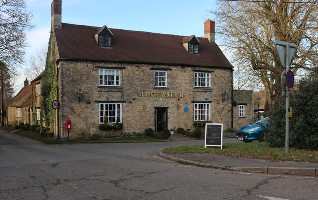
Berrymere Copse Images
Images are sourced within 2km of 51.704241/-1.3151265 or Grid Reference SP4700. Thanks to Geograph Open Source API. All images are credited.


Berrymere Copse is located at Grid Ref: SP4700 (Lat: 51.704241, Lng: -1.3151265)
Administrative County: Oxfordshire
District: Vale of White Horse
Police Authority: Thames Valley
What 3 Words
///grapevine.marching.admits. Near Abingdon, Oxfordshire
Nearby Locations
Related Wikis

Wootton, Vale of White Horse
Wootton is a village and civil parish in the Vale of White Horse about 3 miles (5 km) north-west of Abingdon. It was part of Berkshire until the 1974 boundary...
Lashford Lane Fen
Lashford Lane Fen is a 7-hectare (17-acre) nature reserve north of Dry Sandford in Oxfordshire. It is managed by the Berkshire, Buckinghamshire and Oxfordshire...
Parsonage Moor
Parsonage Moor is a 6-hectare (15-acre) nature reserve north-west of Abingdon-on-Thames in Oxfordshire, United Kingdom. It is managed by the Berkshire...

Henwood
Henwood is a hamlet about 3.5 miles (5.6 km) south-west of Oxford, England. Henwood is in the Wootton civil parish in the Vale of White Horse district...
Cothill Fen
Cothill Fen is a 43.3-hectare (107-acre) biological and geological Site of Special Scientific Interest north-west of Abingdon-on-Thames in Oxfordshire...
Dry Sandford
Dry Sandford is a village in the Vale of White Horse district of England, about 3 miles (5 km) north-west of Abingdon. It is one of two villages in the...

Dalton Barracks
Dalton Barracks is a military installation near Abingdon in Oxfordshire, England and home to 4 Regiments of the Royal Logistic Corps. The site is set to...

Dry Sandford Pit
Dry Sandford Pit is a 4.2-hectare (10-acre) biological and geological Site of Special Scientific Interest north-west of Abingdon-on-Thames in Oxfordshire...
Nearby Amenities
Located within 500m of 51.704241,-1.3151265Have you been to Berrymere Copse?
Leave your review of Berrymere Copse below (or comments, questions and feedback).