Nicker Wood
Wood, Forest in Yorkshire
England
Nicker Wood

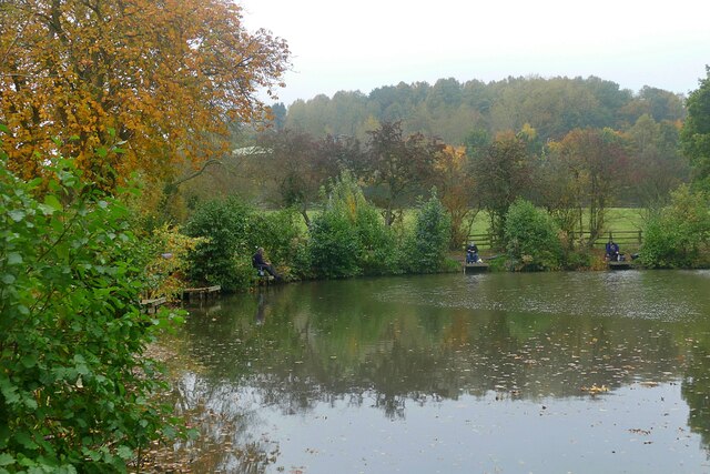
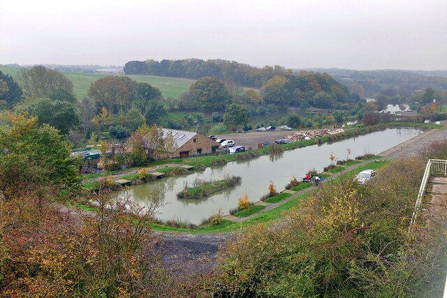
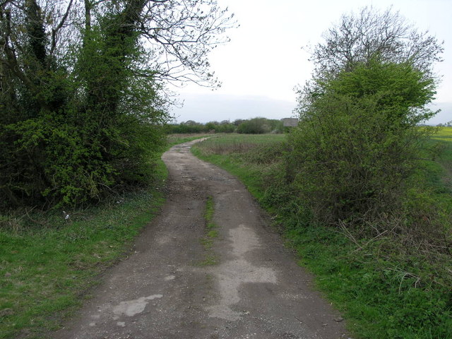
Nicker Wood is a beautiful woodland located in the county of Yorkshire, England. Situated in a rural area, the wood covers an expansive area of approximately 100 acres. It is known for its dense, ancient trees and diverse wildlife, making it a popular destination for nature enthusiasts and hikers.
The wood is predominantly composed of broadleaf trees, such as oak, beech, and birch, which create a captivating and vibrant canopy. The forest floor is covered in a thick layer of moss, ferns, and wildflowers, adding to the enchanting atmosphere. Nicker Wood is particularly stunning during the spring and autumn seasons when the woodland bursts with vivid colors.
The wood is also home to an array of wildlife species. Visitors may have the chance to spot deer, foxes, badgers, and various bird species, including woodpeckers and owls. The peaceful ambiance and the natural habitat make it an ideal location for birdwatching and wildlife photography.
Nicker Wood offers several well-marked trails that allow visitors to explore its beauty at their own pace. These trails vary in difficulty, catering to both casual walkers and experienced hikers. The wood also features picnic areas, providing an opportunity for visitors to rest and enjoy a packed lunch amidst nature's tranquility.
Overall, Nicker Wood is a hidden gem in Yorkshire, offering a serene escape for those seeking a connection with nature. Its breathtaking scenery, diverse flora and fauna, and well-maintained trails make it a must-visit destination for outdoor enthusiasts and anyone looking for a peaceful retreat in the heart of Yorkshire.
If you have any feedback on the listing, please let us know in the comments section below.
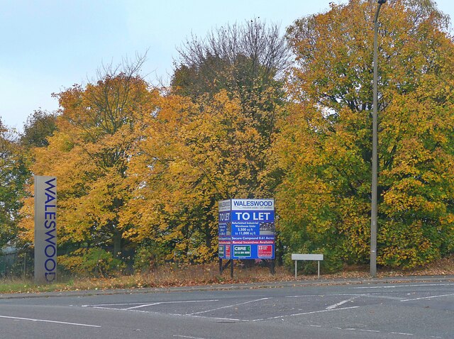
Nicker Wood Images
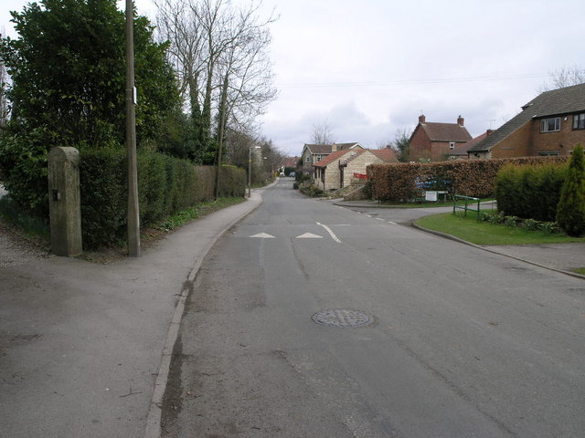
Images are sourced within 2km of 53.35912/-1.2889557 or Grid Reference SK4784. Thanks to Geograph Open Source API. All images are credited.


Nicker Wood is located at Grid Ref: SK4784 (Lat: 53.35912, Lng: -1.2889557)
Division: West Riding
Unitary Authority: Rotherham
Police Authority: South Yorkshire
What 3 Words
///rising.surging.tightrope. Near Wales, South Yorkshire
Nearby Locations
Related Wikis
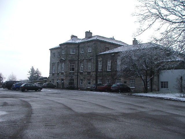
Aston Hall, Yorkshire
Aston Hall is a former English country house in the village of Aston, South Yorkshire. It is now a hotel, and a Grade II* listed building. == History... ==

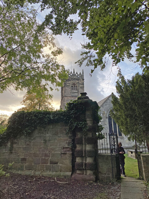
Church of All Saints, Aston cum Aughton
The Church of All Saints is the parish church of Aston cum Aughton in South Yorkshire, England. It is a Church of England church in the Diocese of Sheffield...

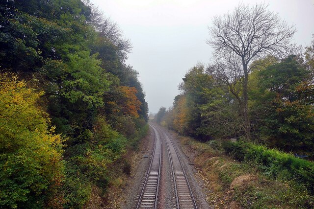
Waleswood railway station
Waleswood railway station is a former railway station on the Great Central Railway's main line between Sheffield Victoria and Worksop, England. The station...
Waleswood Colliery
Waleswood Colliery was a coal mine situated between Swallownest and Wales Bar, near Rotherham, South Yorkshire, England. The colliery was adjacent to the...
Nearby Amenities
Located within 500m of 53.35912,-1.2889557Have you been to Nicker Wood?
Leave your review of Nicker Wood below (or comments, questions and feedback).