High Wood

Wood, Forest in Derbyshire Bolsover

England

High Wood

Welcome Break Woodall Services, Southbound M1 The Woodall Services Area lies between junctions 30 and 31 of the M1 motorway near Sheffield. It was opened in 1968 by Trust House Forte (rebranded as Welcome Break in 1986 <span class="nowrap"><a title="https://en.wikipedia.org/wiki/Welcome_Break#Split_from_Trusthouse_Forte" rel="nofollow ugc noopener" href="https://en.wikipedia.org/wiki/Welcome_Break#Split_from_Trusthouse_Forte">Link</a><img style="margin-left:2px;" alt="External link" title="External link - shift click to open in new window" src="https://s1.geograph.org.uk/img/external.png" width="10" height="10"/></span>  ). It takes its name from the nearby village of Woodall.
Welcome Break Woodall Services, Southbound M1 Credit: David Dixon

High Wood is a picturesque forest located in Derbyshire, England. Spanning over an area of approximately 100 acres, it is known for its diverse flora and fauna, making it a popular destination for nature enthusiasts and hikers alike.

The woodland consists of a mixed variety of trees, including oak, beech, and birch, creating a beautiful mosaic of colors throughout the year. The forest floor is covered in a dense carpet of wildflowers, adding to the enchanting atmosphere of the wood.

High Wood is home to a wide range of wildlife species. Birdwatchers can spot various species of birds, including woodpeckers, owls, and pheasants, while animal lovers may catch a glimpse of deer, foxes, and rabbits. The forest also provides a habitat for smaller creatures such as squirrels, badgers, and hedgehogs.

Numerous trails and pathways wind through High Wood, offering visitors the opportunity to explore and immerse themselves in its natural beauty. These paths cater to both casual strollers and serious hikers, ensuring that everyone can enjoy the wood at their own pace.

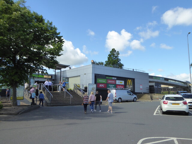
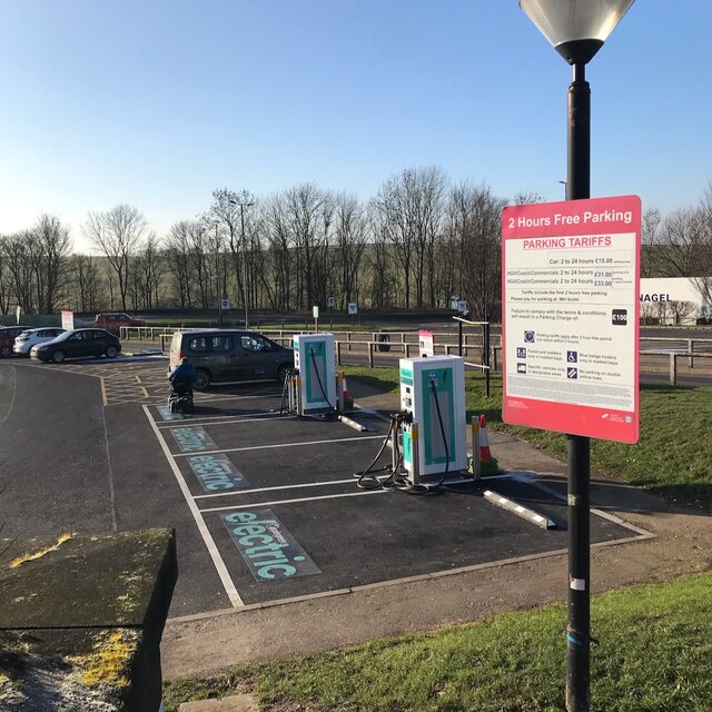
Due to its location near several towns and villages, High Wood is easily accessible by both public and private transportation. Visitors can find parking facilities nearby and enjoy the tranquility and serenity of the forest.

Overall, High Wood is a captivating woodland in Derbyshire, offering a haven for wildlife and a peaceful retreat for nature lovers. With its scenic beauty and abundant wildlife, it is the perfect destination for those seeking solace in the embrace of nature.

If you have any feedback on the listing, please let us know in the comments section below.
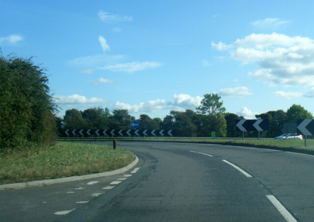
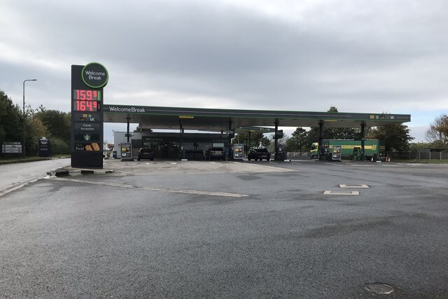
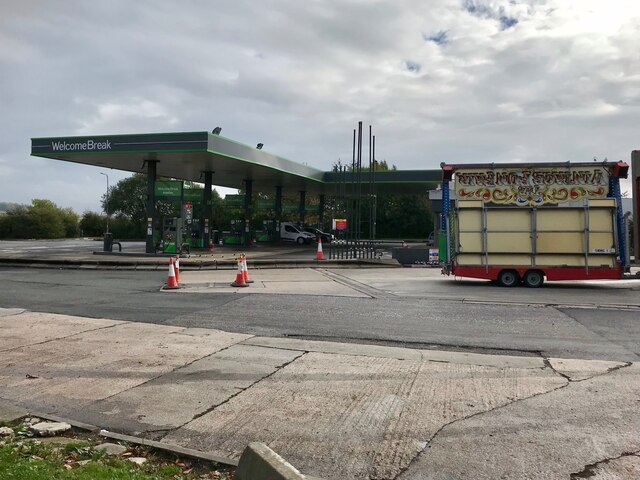
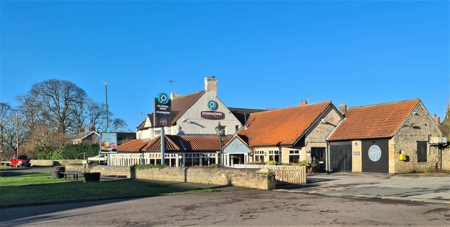
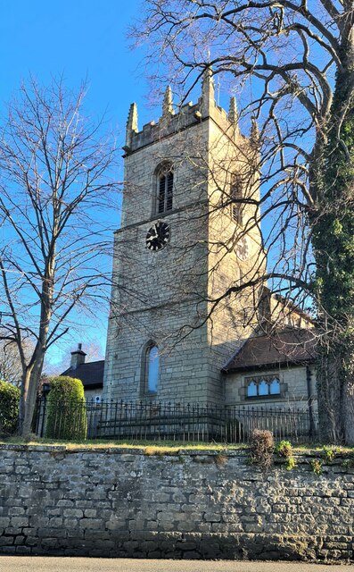
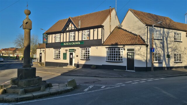
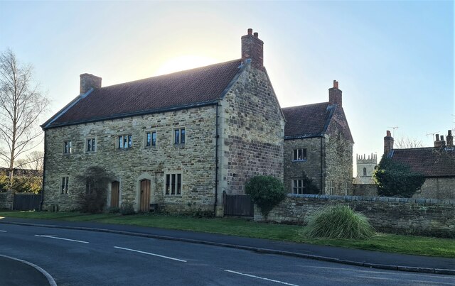
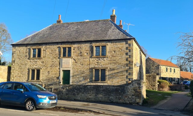
High Wood Images

Images are sourced within 2km of 53.300601/-1.2978205 or Grid Reference SK4678. Thanks to Geograph Open Source API. All images are credited.

Welcome Break Woodall Services, Southbound M1 The Woodall Services Area lies between junctions 30 and 31 of the M1 motorway near Sheffield. It was opened in 1968 by Trust House Forte (rebranded as Welcome Break in 1986 <span class="nowrap"><a title="https://en.wikipedia.org/wiki/Welcome_Break#Split_from_Trusthouse_Forte" rel="nofollow ugc noopener" href="https://en.wikipedia.org/wiki/Welcome_Break#Split_from_Trusthouse_Forte">Link</a><img style="margin-left:2px;" alt="External link" title="External link - shift click to open in new window" src="https://s1.geograph.org.uk/img/external.png" width="10" height="10"/></span>  ). It takes its name from the nearby village of Woodall.
Welcome Break Woodall Services, Southbound M1
The Woodall Services Area lies between junctions 30 and 31 of the M1 motorway near Sheffield. It was opened in 1968 by Trust House Forte (rebranded as Welcome Break in 1986 LinkExternal link ). It takes its name from the nearby village of Woodall.
Lorry Park, Woodall Services  The Woodall Services Area lies between junctions 30 and 31 of the M1 motorway near Sheffield. It was opened in 1968 by Trust House Forte (rebranded as Welcome Break in 1986 <span class="nowrap"><a title="https://en.wikipedia.org/wiki/Welcome_Break#Split_from_Trusthouse_Forte" rel="nofollow ugc noopener" href="https://en.wikipedia.org/wiki/Welcome_Break#Split_from_Trusthouse_Forte">Link</a><img style="margin-left:2px;" alt="External link" title="External link - shift click to open in new window" src="https://s1.geograph.org.uk/img/external.png" width="10" height="10"/></span>  ). It takes its name from the nearby village of Woodall.
Lorry Park, Woodall Services
The Woodall Services Area lies between junctions 30 and 31 of the M1 motorway near Sheffield. It was opened in 1968 by Trust House Forte (rebranded as Welcome Break in 1986 LinkExternal link ). It takes its name from the nearby village of Woodall.
The entrance to Woodall Services southbound
Electric vehicle charging points Woodall services.  As with most (if not all) chargers at UK motorway services they are no longer branded by Ecotricity (see <a href="https://www.geograph.org.uk/photo/6993959">SK4780 : Electric Vehicle Charging Points, Woodall Services</a>).  These are provided by "applegreen electric"
Electric vehicle charging points
Woodall services. As with most (if not all) chargers at UK motorway services they are no longer branded by Ecotricity (see SK4780 : Electric Vehicle Charging Points, Woodall Services). These are provided by "applegreen electric"
Woodall services Starbucks Coffee sign
Woodall services
Starbucks Coffee sign
Woodall Services
Woodall Services
Footbridge at Woodall services. A pit stop.
Footbridge at Woodall services.
A pit stop.
Northbound Woodall Services Northbound Woodall Services on M1
Northbound Woodall Services
Northbound Woodall Services on M1
A6135 at M1 junction roundabout
Fuel Forecourt, Welcome Break Woodall Services  The Woodall Services Area lies between junctions 30 and 31 of the M1 motorway near Sheffield. It was opened in 1968 by Trust House Forte (rebranded as Welcome Break in 1986 <span class="nowrap"><a title="https://en.wikipedia.org/wiki/Welcome_Break#Split_from_Trusthouse_Forte" rel="nofollow ugc noopener" href="https://en.wikipedia.org/wiki/Welcome_Break#Split_from_Trusthouse_Forte">Link</a><img style="margin-left:2px;" alt="External link" title="External link - shift click to open in new window" src="https://s1.geograph.org.uk/img/external.png" width="10" height="10"/></span>  ). It takes its name from the nearby village of Woodall.
Fuel Forecourt, Welcome Break Woodall Services
The Woodall Services Area lies between junctions 30 and 31 of the M1 motorway near Sheffield. It was opened in 1968 by Trust House Forte (rebranded as Welcome Break in 1986 LinkExternal link ). It takes its name from the nearby village of Woodall.
Shell Filling Station, Woodall Services (South) The Woodall Services Area lies between junctions 30 and 31 of the M1 motorway near Sheffield. It was opened in 1968 by Trust House Forte (rebranded as Welcome Break in 1986 <span class="nowrap"><a title="https://en.wikipedia.org/wiki/Welcome_Break#Split_from_Trusthouse_Forte" rel="nofollow ugc noopener" href="https://en.wikipedia.org/wiki/Welcome_Break#Split_from_Trusthouse_Forte">Link</a><img style="margin-left:2px;" alt="External link" title="External link - shift click to open in new window" src="https://s1.geograph.org.uk/img/external.png" width="10" height="10"/></span>  ). It takes its name from the nearby village of Woodall.
Shell Filling Station, Woodall Services (South)
The Woodall Services Area lies between junctions 30 and 31 of the M1 motorway near Sheffield. It was opened in 1968 by Trust House Forte (rebranded as Welcome Break in 1986 LinkExternal link ). It takes its name from the nearby village of Woodall.
Stonehouse, De Rodes Arms restaurant, Barlborough Carvery and pizzas
Stonehouse, De Rodes Arms restaurant, Barlborough
Carvery and pizzas
St James the Great parish church, Barlborough
Rose & Crown and Village Cross, Barlborough
Old cottages, Barlborough But have they been totally rebuilt?
Old cottages, Barlborough
But have they been totally rebuilt?
Old Hospital, Barlborough Dating to 1752
Old Hospital, Barlborough
Dating to 1752
Pile driving equipment, Renishaw
Mount St Mary's College, Spinkhill
Show me another place!

High Wood is located at Grid Ref: SK4678 (Lat: 53.300601, Lng: -1.2978205)

Administrative County: Derbyshire

District: Bolsover

Police Authority: Derbyshire

What 3 Words

///cocoons.revised.free. Near Barlborough, Derbyshire

Related Wikis

Barlborough Hall

Barlborough Hall is a Grade I listed 16th-century country house in Barlborough, Chesterfield, Derbyshire. It was built in around 1583-84 for Sir Francis...

Spinkhill Tunnel

Spinkhill Tunnel is a disused twin-track railway tunnel south of Spinkhill railway station in Derbyshire, England. == History == The 501 yards long tunnel...

Mount St Mary's College

Mount St Mary's College is an independent, co-educational, day and boarding school situated at Spinkhill, Derbyshire, England. It was founded in 1842 by...

Spinkhill railway station

Spinkhill railway station is a disused railway station in Spinkhill, Derbyshire, England. == History == The station was built by the Lancashire, Derbyshire...

Spinkhill

Spinkhill is a small village in North East Derbyshire, England. It is approximately one mile south of the nearest town, Killamarsh, and half a mile north...

New Barlborough

New Barlborough is an area of Barlborough village, Bolsover, Derbyshire, England, consisting of several housing estates and a single row of houses along...

Church of the Immaculate Conception, Spinkhill

Immaculate Conception Church is a Roman Catholic Parish church in Spinkhill, Derbyshire, England. It was built in 1846 and designed by Joseph Hansom. It...

Barlborough

Barlborough is a village and civil parish in the Bolsover district of Derbyshire, England. According to the 2001 census it had a population of 3,018,...

Nearby Amenities

Located within 500m of 53.300601,-1.2978205
Power: pole
Source: Bing
Lat/Long: 53.3029867/-1.2925552
Power: pole
Source: Bing
Lat/Long: 53.3031362/-1.2953345
Power: pole
Source: Bing
Lat/Long: 53.303066/-1.2939659
Barrier: stile
Lat/Long: 53.3000322/-1.3015724
Barrier: stile
Lat/Long: 53.3014948/-1.2992741
Barrier: stile
Lat/Long: 53.300316/-1.3018958
Power: pole
Lat/Long: 53.2973711/-1.300284
Power: pole
Lat/Long: 53.2982079/-1.3008955
Power: pole
Lat/Long: 53.2989901/-1.3015446
Power: pole
Lat/Long: 53.2997243/-1.3024485
Power: pole
Lat/Long: 53.3002388/-1.3031298
Power: pole
Lat/Long: 53.3008688/-1.3036233
Power: pole
Lat/Long: 53.3017424/-1.3043341
The data included in this document is from www.openstreetmap.org. The data is made available under ODbL.

Have you been to High Wood?

Leave your review of High Wood below (or comments, questions and feedback).