Aldwark Bridge Wood

Wood, Forest in Yorkshire Harrogate

England

Aldwark Bridge Wood

Field opposite Aldwark Wood Countryside between Aldwark and Linton-on-Ouse
Field opposite Aldwark Wood Credit: Chris Heaton

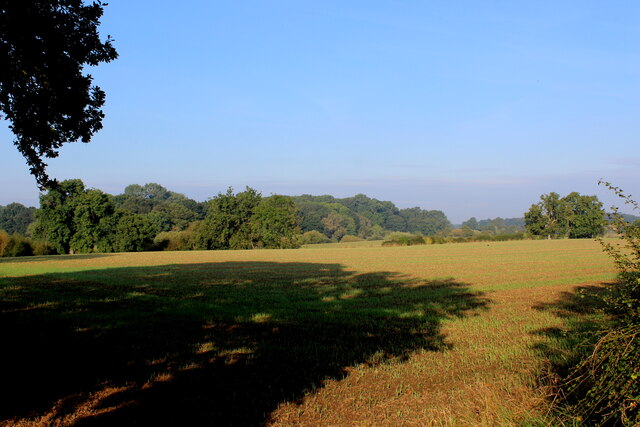
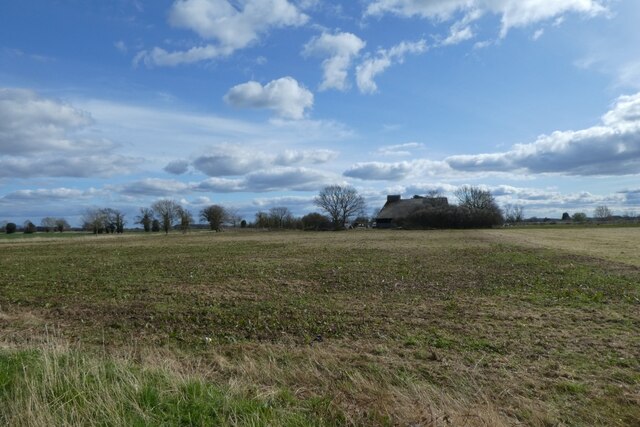
Aldwark Bridge Wood is a picturesque woodland located in the county of Yorkshire, England. Situated near the village of Aldwark, it covers an area of approximately 50 acres and is known for its natural beauty and diverse wildlife.

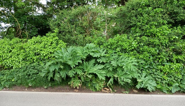
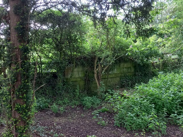
The wood is primarily made up of deciduous trees, including oak, beech, and ash, which create a dense canopy that provides shade and shelter for the myriad of species that call the woodland home. The forest floor is covered with a rich carpet of ferns, bluebells, and other wildflowers, adding to the enchanting atmosphere of the wood.

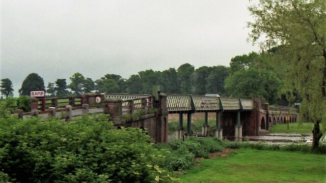
Aldwark Bridge Wood is intersected by a small stream, which adds to its charm and provides a source of water for the various animals and plants that inhabit the area. The stream also creates several small pools and cascades, creating a tranquil setting for visitors to enjoy.

The woodland is a haven for wildlife, with a variety of bird species nesting in the trees, including woodpeckers, owls, and songbirds. Mammals such as deer, foxes, and badgers can also be spotted within the wood, along with a range of insects and amphibians.

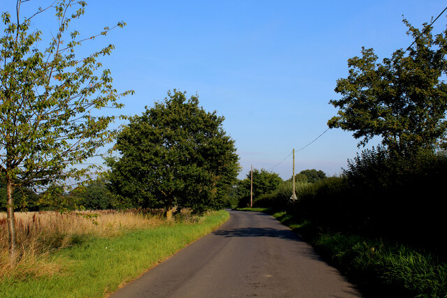
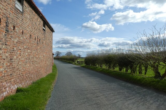
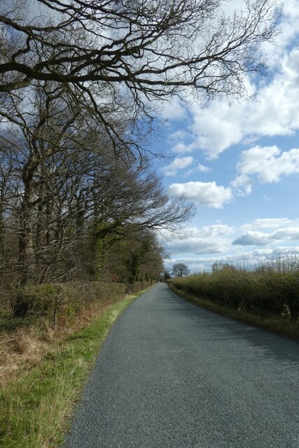
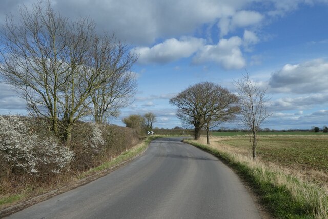
The wood is open to the public and offers a number of walking trails, allowing visitors to explore its beauty at their own pace. There are also picnic areas and benches dotted throughout the wood, providing a perfect spot to relax and soak in the peaceful surroundings.

Overall, Aldwark Bridge Wood is a delightful natural haven in the heart of Yorkshire, offering a tranquil escape for nature lovers and a chance to immerse oneself in the beauty of the British countryside.

If you have any feedback on the listing, please let us know in the comments section below.

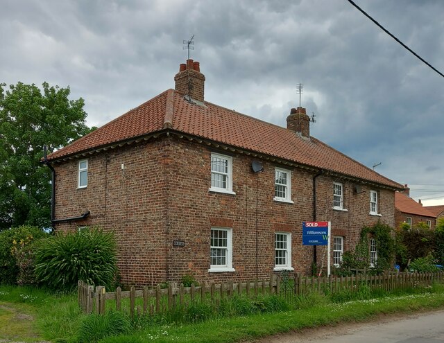
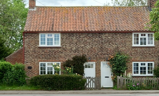
Aldwark Bridge Wood Images

Images are sourced within 2km of 54.053965/-1.2943175 or Grid Reference SE4662. Thanks to Geograph Open Source API. All images are credited.

Field opposite Aldwark Wood Countryside between Aldwark and Linton-on-Ouse
Field opposite Aldwark Wood
Countryside between Aldwark and Linton-on-Ouse
On the Road between Linton-on-Ouse and Aldwark Heading towards the village of Aldwark, save those who wish to utilise the rickety toll bridge over the River Ouse - in which case take a left after passing the woods.
On the Road between Linton-on-Ouse and Aldwark
Heading towards the village of Aldwark, save those who wish to utilise the rickety toll bridge over the River Ouse - in which case take a left after passing the woods.
Beside Bridge Farm Looking along the road towards Linton on Ouse.
Beside Bridge Farm
Looking along the road towards Linton on Ouse.
Road passing Aldwark Wood Looking along the road towards Linton on Ouse.
Road passing Aldwark Wood
Looking along the road towards Linton on Ouse.
Field near Hunters Lodge Looking across farmland from the road to Linton on Ouse.
Field near Hunters Lodge
Looking across farmland from the road to Linton on Ouse.
Bend on the road Looking along the road to Linton on Ouse.
Bend on the road
Looking along the road to Linton on Ouse.
Aldwark Bridge in 2000 Road toll bridge over River Ure, which becomes River Ouse shortly downstream. This is the only bridge across the river between York to the south and Boroughbridge to the north.
Aldwark Bridge in 2000
Road toll bridge over River Ure, which becomes River Ouse shortly downstream. This is the only bridge across the river between York to the south and Boroughbridge to the north.
Aldwark, St Stephen's church The benchmark is cut in a cornerstone on a north-east face of the church.
Aldwark, St Stephen's church
The benchmark is cut in a cornerstone on a north-east face of the church.
Aldwark, St Stephen's church There is a benchmark cut in a cornerstone on a north-east face of the church.
Aldwark, St Stephen's church
There is a benchmark cut in a cornerstone on a north-east face of the church.
Aldwark, Rice Lane According to the OS benchmark database there was a benchmark cut into a concrete gatepost in this vicinity. Nothing was found and it is likely the benchmark has been destroyed.
Aldwark, Rice Lane
According to the OS benchmark database there was a benchmark cut into a concrete gatepost in this vicinity. Nothing was found and it is likely the benchmark has been destroyed.
Aldwark, Keepers Lodge According to the OS benchmark database there is a benchmark cut into the left hand corner of the road facing wall. The private property is gated and inaccessible, and it is unknown if the benchmark survives.
Aldwark, Keepers Lodge
According to the OS benchmark database there is a benchmark cut into the left hand corner of the road facing wall. The private property is gated and inaccessible, and it is unknown if the benchmark survives.
Aldwark, 1 New Cottages The benchmark is cut on the road facing wall and about 1 metre from the left hand corner.
Aldwark, 1 New Cottages
The benchmark is cut on the road facing wall and about 1 metre from the left hand corner.
Aldwark, 1 New Cottages There is a benchmark cut on the road facing wall and about 1 metre from the left hand corner.
Aldwark, 1 New Cottages
There is a benchmark cut on the road facing wall and about 1 metre from the left hand corner.
Aldwark, 1 The Green According to the OS benchmark database there is a benchmark cut into the road facing wall of the property and it is on the extreme left. There was plenty of vegetation along the front of the property obscuring any view of a benchmark.
Aldwark, 1 The Green
According to the OS benchmark database there is a benchmark cut into the road facing wall of the property and it is on the extreme left. There was plenty of vegetation along the front of the property obscuring any view of a benchmark.
Aldwark, bridge approaching village According to the OS benchmark database there is a benchmark cut into the east parapet of the bridge which crosses a small stream feeding the River Ure. A giant hogweed was flourishing and obscuring the parapet and so no search was made.
Aldwark, bridge approaching village
According to the OS benchmark database there is a benchmark cut into the east parapet of the bridge which crosses a small stream feeding the River Ure. A giant hogweed was flourishing and obscuring the parapet and so no search was made.
Aldwark, bridge as approaching the village According to the OS benchmark database there is a benchmark cut into the east parapet of the bridge which crosses a small stream feeding the River Ure. This is the bridge parapet taken from the grounds of Aldwark Manor, and this confirms that the bridge parapet is still standing. A giant hogweed was flourishing and obscuring the parapet along the road, and so no search was made for the benchmark.
Aldwark, bridge as approaching the village
According to the OS benchmark database there is a benchmark cut into the east parapet of the bridge which crosses a small stream feeding the River Ure. This is the bridge parapet taken from the grounds of Aldwark Manor, and this confirms that the bridge parapet is still standing. A giant hogweed was flourishing and obscuring the parapet along the road, and so no search was made for the benchmark.
Direction Sign – Signpost on Main Street, Great Ouseburn Located on the north side of the junction of Main Street and Seggans Road in Great Ouseburn parish. 3 arms and annulus & bar finial. Repainted since 2019, see <a title="https://www.geograph.org.uk/photo/6545973" href="https://www.geograph.org.uk/photo/6545973">Link</a>.

Milestone Society National ID: YW_SE4462
Direction Sign – Signpost on Main Street, Great Ouseburn
Located on the north side of the junction of Main Street and Seggans Road in Great Ouseburn parish. 3 arms and annulus & bar finial. Repainted since 2019, see Link. Milestone Society National ID: YW_SE4462
St Stephen's Church Aldwark
Show me another place!

Aldwark Bridge Wood is located at Grid Ref: SE4662 (Lat: 54.053965, Lng: -1.2943175)

Division: West Riding

Administrative County: North Yorkshire

District: Harrogate

Police Authority: North Yorkshire

What 3 Words

///staple.congested.radio. Near Linton upon Ouse, North Yorkshire

Nearby Locations

Aldwark Bridge Wood

Related Wikis

Aldwark, Hambleton

Aldwark is a village and civil parish in the Hambleton District of North Yorkshire, England. It is situated on the River Ouse about 14 miles from York...

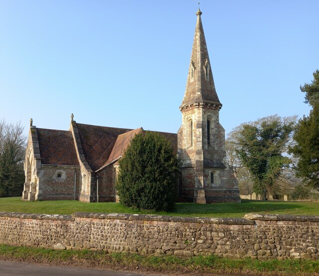
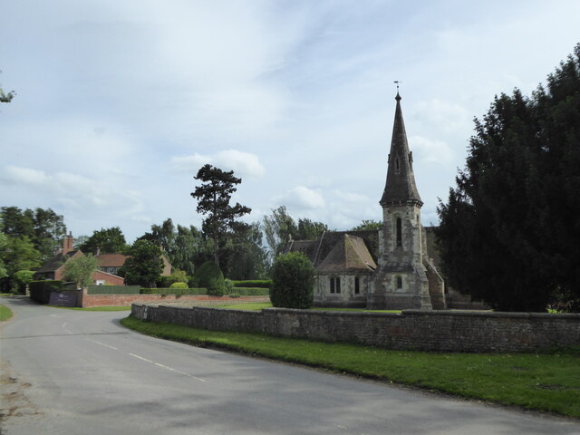
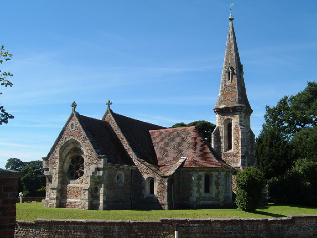
St Mary the Virgin's Church, Great Ouseburn

St Mary the Virgin's Church is in the village of Great Ouseburn, North Yorkshire, England. It is an active Anglican parish church in the deanery of Ripon...

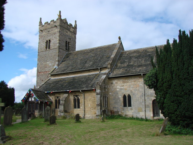
Holy Trinity Church, Little Ouseburn

Holy Trinity Church stands to the northeast of the village of Little Ouseburn, North Yorkshire, England. It is an Anglican parish church in the deanery...
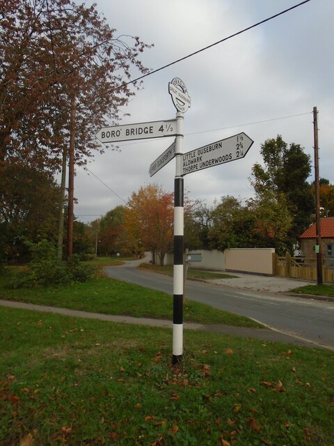
Great Ouseburn

Great Ouseburn is a village and civil parish in the Harrogate district of North Yorkshire, England. It is situated 4 miles (6 km) south-east of Boroughbridge...

Little Ouseburn

Little Ouseburn is a small village and civil parish in the Harrogate district of North Yorkshire, England. It is situated near the A1(M) motorway and 6...
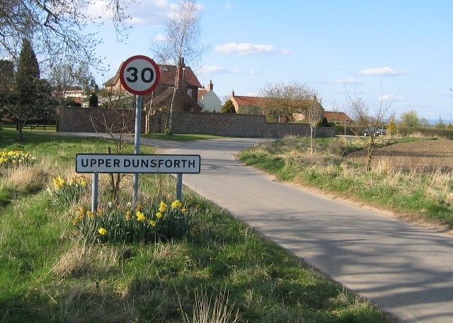
Upper Dunsforth

Upper Dunsforth is a village in located in the civil parish of Dunsforths, in the Borough of Harrogate of North Yorkshire, England. It was mentioned in...
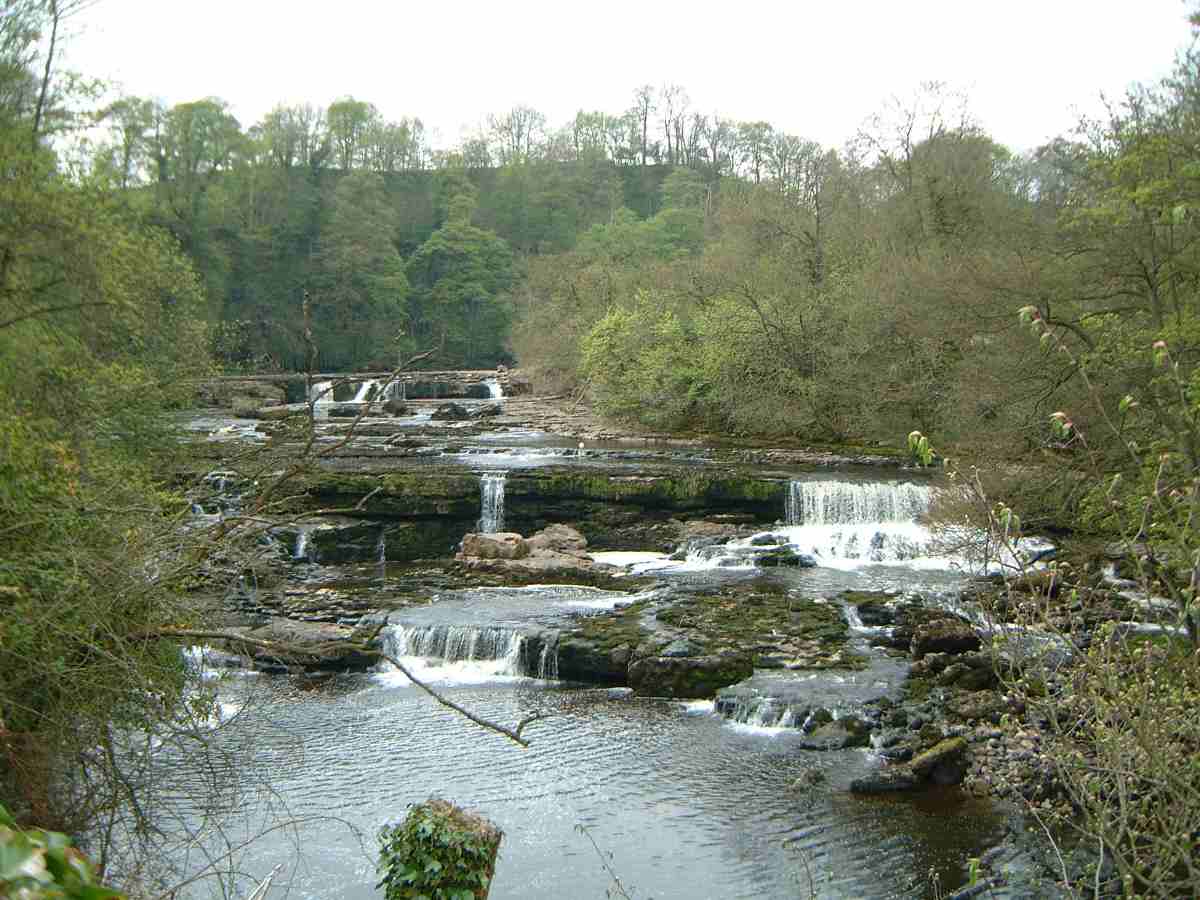
River Ure

The River Ure in North Yorkshire, England, is about 74 miles (119 km) long from its source to the point where it becomes the River Ouse. It is the principal...

Thorpe Underwood, North Yorkshire

Thorpe Underwood is a settlement and (as Thorpe Underwoods) a civil parish about 10 miles (16 km) north of York, in the former Harrogate district of North...

Nearby Amenities

Located within 500m of 54.053965,-1.2943175
Barrier: toll_booth
Fee: yes
Fee Bicycle: no
Lat/Long: 54.0532489/-1.289904
Leisure: slipway
Lat/Long: 54.0524678/-1.2890068
Free Landing Picnic Area and Wildlife Site
Information: board
Tourism: information
Lat/Long: 54.0535696/-1.2896517
Man Made: monitoring_station
Monitoring Water Level: yes
Lat/Long: 54.0535365/-1.2886714
Barrier: kissing_gate
Lat/Long: 54.0538178/-1.2886747
The data included in this document is from www.openstreetmap.org. The data is made available under ODbL.

Have you been to Aldwark Bridge Wood?

Leave your review of Aldwark Bridge Wood below (or comments, questions and feedback).