Bean Wood

Wood, Forest in Berkshire Vale of White Horse

England

Bean Wood

The A420 Botley
The A420 Botley Credit: David Howard

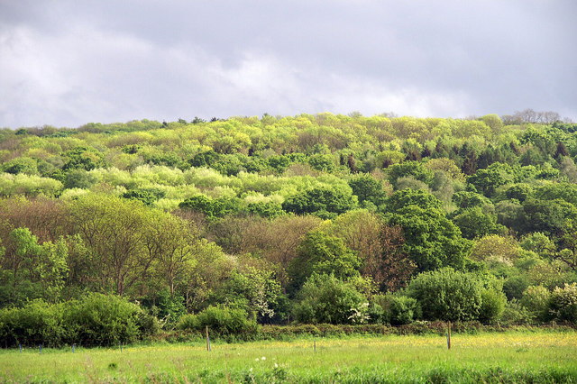
Bean Wood is a picturesque forest located in the county of Berkshire, England. Covering an area of approximately 250 acres, it is a haven of natural beauty and tranquility. The woodland is situated near the village of Bean, hence its name, and is a popular destination for nature lovers, hikers, and wildlife enthusiasts.

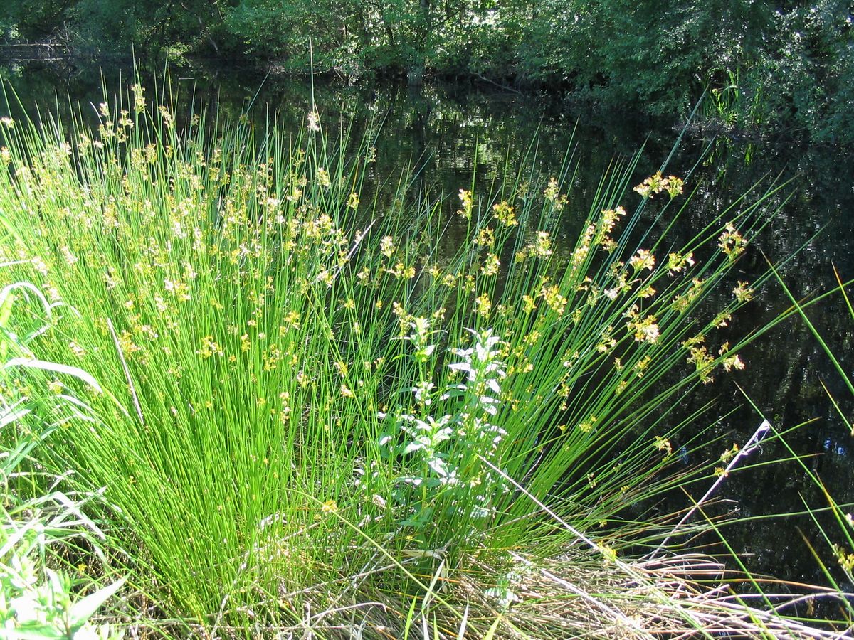
The forest is predominantly composed of broad-leaved trees, including oak, beech, and ash, creating a diverse and vibrant ecosystem. The dense canopy provides a sheltered habitat for a wide range of wildlife, including birds, mammals, and insects. Visitors to Bean Wood can expect to encounter species such as deer, foxes, badgers, and a variety of bird species.

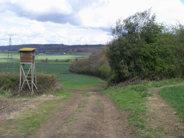
There are several well-maintained walking trails that wind their way through the woodland, offering visitors the opportunity to explore its natural wonders. The paths are clearly marked and suitable for all levels of fitness, making it an ideal destination for families and individuals alike.

In addition to its natural beauty, Bean Wood also has historical significance. The forest is believed to have played a role in the local timber industry in the past, with evidence of charcoal production and timber extraction. This historical legacy adds an extra layer of interest for those interested in the area's heritage.

Overall, Bean Wood in Berkshire is a charming forest that offers visitors a chance to immerse themselves in nature, explore its trails, and discover its rich wildlife. It is a place where one can escape the hustle and bustle of everyday life and reconnect with the natural world.

If you have any feedback on the listing, please let us know in the comments section below.
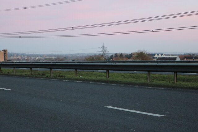
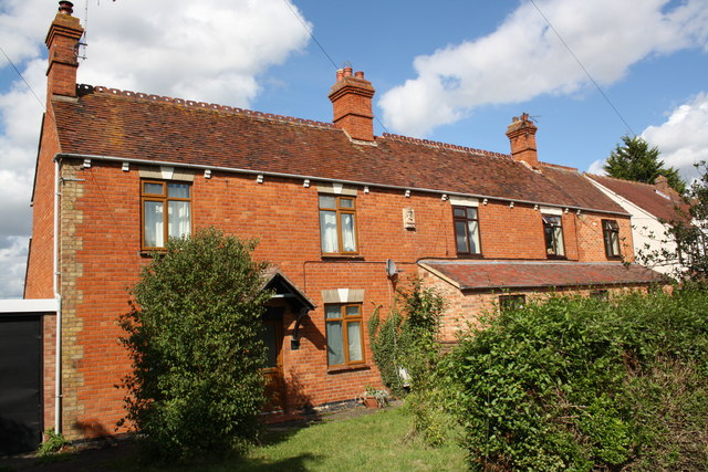
Bean Wood Images

Images are sourced within 2km of 51.757596/-1.3309379 or Grid Reference SP4606. Thanks to Geograph Open Source API. All images are credited.

The A420 Botley
The A420 Botley
The A420 Botley Looking south across the town.
The A420 Botley
Looking south across the town.
Trucks on the A420 The Oxford - Swindon road just west of its junction with the A34.
Trucks on the A420
The Oxford - Swindon road just west of its junction with the A34.
Denman's Farm, Cumnor
Gee's of Cumnor That's what it says on the sign on the black shed.
A former nursery, with two derelict glasshouses, some of the site is still in use, not least as a home for three phone masts.
Gee's of Cumnor
That's what it says on the sign on the black shed. A former nursery, with two derelict glasshouses, some of the site is still in use, not least as a home for three phone masts.
Towards Red House Farm
Spraying next to Saddle Copse
Sloes by the Gate It's a pity this abundant wild fruit isn't a bit pleasanter to eat. Not being a gin fan, I make sloe vodka which is nice, but that's about it.
Did you know sloes, aka Prunus spinosa, have a tetraploid (2n=4x=32) set of chromosomes.
I didn't know that, or that the word sloe is related to the Croatian word sljiva.
 All this and more on <span class="nowrap"><a title="http://en.wikipedia.org/wiki/Prunus_spinosa" rel="nofollow ugc noopener" href="http://en.wikipedia.org/wiki/Prunus_spinosa">Link</a><img style="margin-left:2px;" alt="External link" title="External link - shift click to open in new window" src="https://s1.geograph.org.uk/img/external.png" width="10" height="10"/></span>
Sloes by the Gate
It's a pity this abundant wild fruit isn't a bit pleasanter to eat. Not being a gin fan, I make sloe vodka which is nice, but that's about it. Did you know sloes, aka Prunus spinosa, have a tetraploid (2n=4x=32) set of chromosomes. I didn't know that, or that the word sloe is related to the Croatian word sljiva. All this and more on LinkExternal link
Looking Over The Hedge I'm guessing this is a bird watching place. Farmoor reservoir over to the left.
The path is the Oxford Greenbelt Way.
Looking Over The Hedge
I'm guessing this is a bird watching place. Farmoor reservoir over to the left. The path is the Oxford Greenbelt Way.
Seat With A View Beside the Oxford Greenbelt Way.
Seat With A View
Beside the Oxford Greenbelt Way.
Benchmark on #26 Eynsham Road Ordnance Survey cut mark benchmark described on the Bench Mark Database at <span class="nowrap"><a title="http://www.bench-marks.org.uk/bm39265" rel="nofollow ugc noopener" href="http://www.bench-marks.org.uk/bm39265">Link</a><img style="margin-left:2px;" alt="External link" title="External link - shift click to open in new window" src="https://s1.geograph.org.uk/img/external.png" width="10" height="10"/></span>
Benchmark on #26 Eynsham Road
Ordnance Survey cut mark benchmark described on the Bench Mark Database at LinkExternal link
Nos. 26 and 24 Eynsham Road There is a stone head and date 1879 on the wall at the junction of the two houses. Also an OS benchmark <a href="https://www.geograph.org.uk/photo/2740667">SP4805 : Benchmark on #26 Eynsham Road</a> on the side of No. 26 where the garage abuts.
Nos. 26 and 24 Eynsham Road
There is a stone head and date 1879 on the wall at the junction of the two houses. Also an OS benchmark SP4805 : Benchmark on #26 Eynsham Road on the side of No. 26 where the garage abuts.
National Grid lines crossing A420
Oxford Green Belt Way Oxford Green Belt Way path by Denman's Copse heading to Filchampstead
Oxford Green Belt Way
Oxford Green Belt Way path by Denman's Copse heading to Filchampstead
Tower at Farmoor Reservoir This is a control tower at the reservoir outflow. Taken from this angle, below the reservoir embankment, it looks a bit sinister.
Tower at Farmoor Reservoir
This is a control tower at the reservoir outflow. Taken from this angle, below the reservoir embankment, it looks a bit sinister.
The start of the countryside walk The walk stretches 4.5 miles around Farmoor Reservoir.
The start of the countryside walk
The walk stretches 4.5 miles around Farmoor Reservoir.
The footpath around Farmoor Reservoir The Countryside Walk stretches for 4.5 miles around Farmoor Reservoir.
The footpath around Farmoor Reservoir
The Countryside Walk stretches for 4.5 miles around Farmoor Reservoir.
The footpath around Farmoor Reservoir The Countryside Walk stretches for 4.5 miles around Farmoor Reservoir.
The footpath around Farmoor Reservoir
The Countryside Walk stretches for 4.5 miles around Farmoor Reservoir.
Show me another place!

Bean Wood is located at Grid Ref: SP4606 (Lat: 51.757596, Lng: -1.3309379)

Administrative County: Oxfordshire

District: Vale of White Horse

Police Authority: Thames Valley

What 3 Words

///drums.storm.bravo. Near Eynsham, Oxfordshire

Related Wikis

Wytham Woods

Wytham Woods are a 423.8-hectare (1,047-acre) biological Site of Special Scientific Interest north-west of Oxford in Oxfordshire. It is a Nature Conservation...

Filchampstead

Filchampstead is a hamlet within Cumnor Parish, Oxfordshire. Until the 1974 boundary changes it was in Berkshire. It lies on the Cumnor Road (B4017) between...

Farmoor

Farmoor is a village 3.5 miles (5.6 km) west of the centre of Oxford, England. The village was part of Berkshire until the 1974 local government boundary...

Dean Court, Oxfordshire

Dean Court is a suburb 2 miles (3.2 km) west of the centre of Oxford, England. Dean Court was part of Berkshire until the 1974 local government boundary...
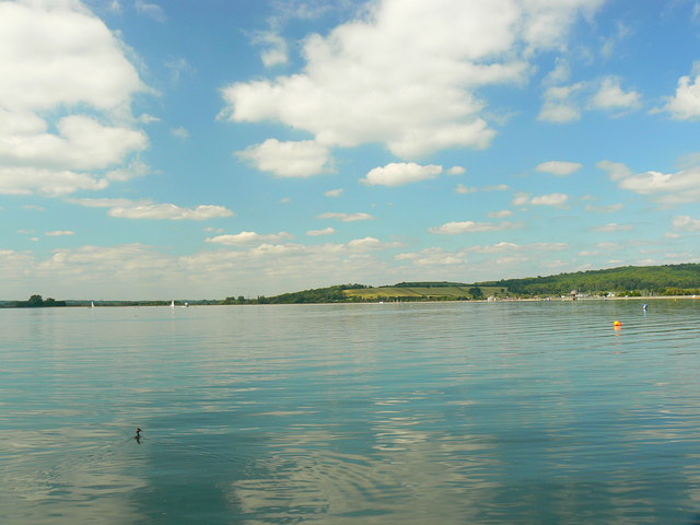
Farmoor Reservoir

Farmoor Reservoir is a reservoir at Farmoor, Oxfordshire, England, about 5 miles (8 km) outside the city of Oxford. It is close to the east bank of the...

Azad University IR in Oxford

The Azad University in Oxford (AUO) is a university campus in Oxford, England, branch of the Islamic Azad University, Iran. AUO was founded in 2004 as...

Seacourt

Seacourt is a deserted medieval village ( DMV ) near the City of Oxford. The site is now mostly beneath the Oxford Western By-pass ( A34 ), about 0...
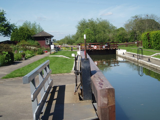
Pinkhill Lock

Pinkhill Lock is a lock on the River Thames in England. It is close to Farmoor, Oxfordshire. The first lock was built of stone by Daniel Harris for the...

Nearby Amenities

Located within 500m of 51.757596,-1.3309379
Post Box
Addr City: Oxford
Addr Housename: Oakenholt Lodge
Addr Postcode: OX2 9NL
Addr Street: Eynsham Road
Collection Times: Mo-Fr 16:00; Sa 10:00
Ref: OX2 106
Lat/Long: 51.7556638/-1.3350074
Bus Stop
Oakenholt
Bus: yes
Naptan AtcoCode: 340003112OPP
Naptan Bearing: NW
Naptan CommonName: Oakenholt
Naptan Indicator: Opposite Driveway
Naptan Landmark: Oakenholt
Naptan NaptanCode: oxfatgwg
Naptan Street: Eynsham Road
Naptan Verified: no
Public Transport: platform
Source: naptan_import
Lat/Long: 51.7566689/-1.3374853
Bus Stop
Oakenholt
Bus: yes
Naptan AtcoCode: 340003112OUT
Naptan Bearing: SE
Naptan CommonName: Oakenholt
Naptan Indicator: Outside Driveway
Naptan Landmark: Oakenholt
Naptan NaptanCode: oxfatgwd
Naptan Street: Eynsham Road
Naptan Verified: no
Public Transport: platform
Source: naptan_import
Lat/Long: 51.7566401/-1.3371525
Path
Lat/Long: 51.7593876/-1.3333492
Turning Circle
Lat/Long: 51.7582135/-1.3334311
Power: tower
Lat/Long: 51.7608445/-1.3322851
Power: tower
Lat/Long: 51.7601173/-1.3354984
Power: tower
Lat/Long: 51.7614488/-1.3296137
Power: pole
Source: Bing
Lat/Long: 51.7546953/-1.3354427
Power: pole
Lat/Long: 51.7560359/-1.3243139
Power: pole
Lat/Long: 51.75676/-1.3246186
Power: pole
Lat/Long: 51.757475/-1.3249196
Power: pole
Lat/Long: 51.7579984/-1.3251595
Power: pole
Lat/Long: 51.7554395/-1.3350808
The data included in this document is from www.openstreetmap.org. The data is made available under ODbL.

Have you been to Bean Wood?

Leave your review of Bean Wood below (or comments, questions and feedback).