Nesbitt Dene

Wood, Forest in Durham

England

Nesbitt Dene

Crimdon Terrace
Crimdon Terrace Credit: David Robinson

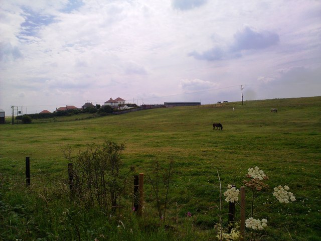
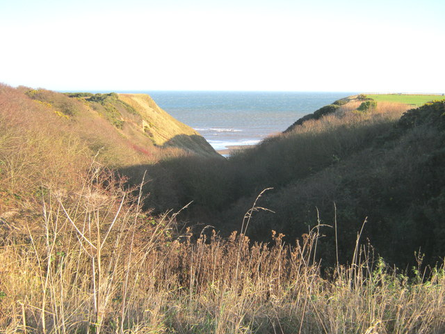
Nesbitt Dene is a picturesque woodland area located in Durham, England. Situated in the village of Wood, the forest is a popular destination for nature lovers and outdoor enthusiasts. The Dene is nestled between the River Wear and the village, providing a tranquil and serene atmosphere.

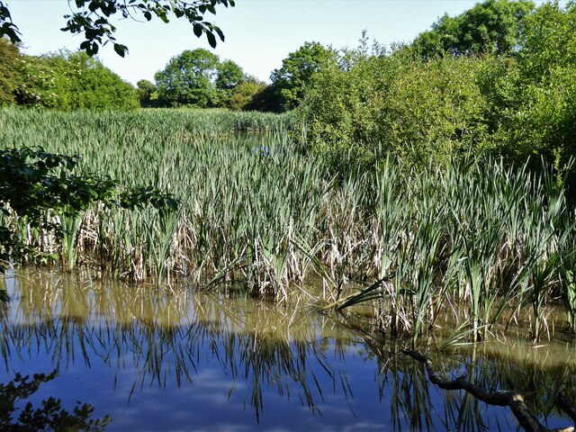
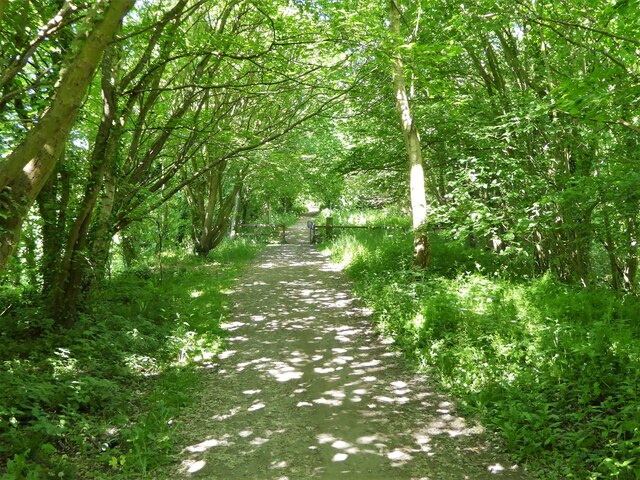
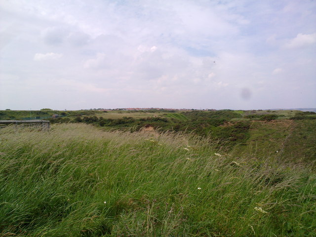
Covering an area of approximately 50 acres, Nesbitt Dene is abundant in diverse flora and fauna. The forest is dominated by a variety of deciduous trees, including oak, beech, and birch, which provide a dense canopy and offer shelter to a wide range of wildlife. Visitors can expect to encounter squirrels, rabbits, and a myriad of bird species as they explore the woodland trails.

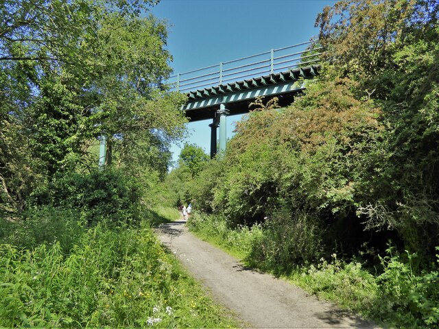
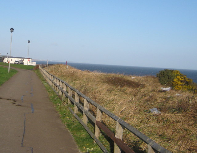
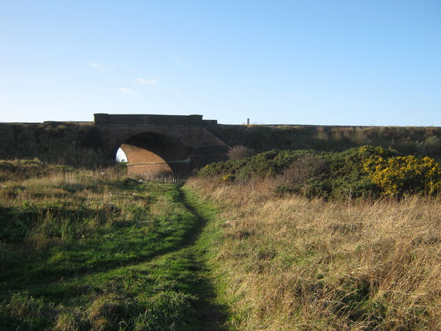
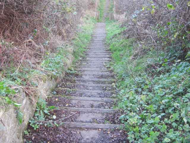
The Dene is crisscrossed by several walking paths, making it an ideal location for hikers and nature walkers. These trails wind through the forest, offering stunning views of the surrounding countryside and the River Wear. The area is also home to a small stream, which adds to the tranquility and charm of the woodland.

Nesbitt Dene is well-maintained and offers various amenities for visitors. There are picnic areas and benches scattered throughout the forest, providing opportunities for relaxation and enjoying a packed lunch amidst the natural beauty. The Dene is also equipped with a car park, making it easily accessible for those traveling by car.

Overall, Nesbitt Dene in Durham is a delightful woodland retreat, offering a peaceful escape from the bustling city life. Whether it's a leisurely walk, birdwatching, or simply immersing oneself in nature, this forest provides a perfect setting for outdoor activities and is a must-visit for nature enthusiasts.

If you have any feedback on the listing, please let us know in the comments section below.

Nesbitt Dene Images

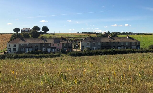
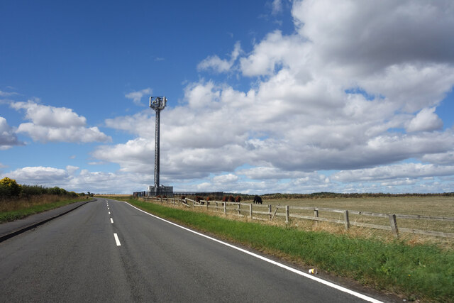
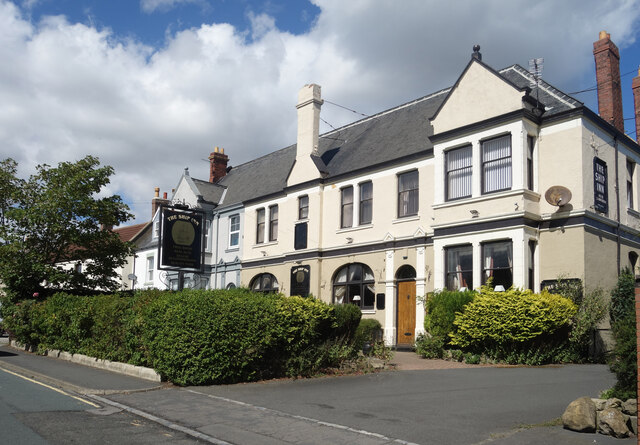
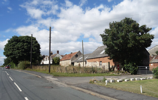
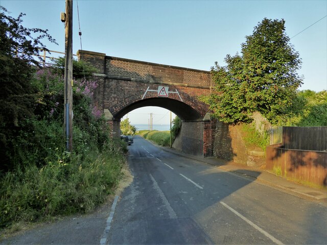
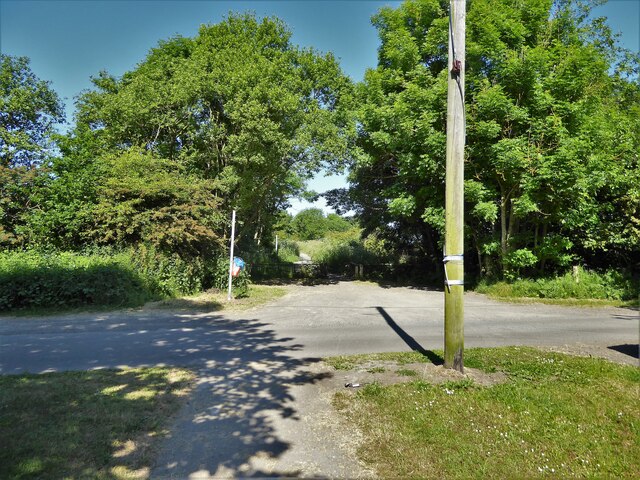
Images are sourced within 2km of 54.72516/-1.2847908 or Grid Reference NZ4636. Thanks to Geograph Open Source API. All images are credited.

Crimdon Terrace
Crimdon Terrace
Mickle Hill Road The urban developments along the Coast Road are soon left behind as the road heads out into the country.
Mickle Hill Road
The urban developments along the Coast Road are soon left behind as the road heads out into the country.
The Ship Inn, High Heselden Village pub along Mickle Hill Road.
The Ship Inn, High Heselden
Village pub along Mickle Hill Road.
Mickle Hill Road, High Heselden With some old buildings belonging to High Heselden Farm.
Mickle Hill Road, High Heselden
With some old buildings belonging to High Heselden Farm.
Railway Bridge Over Station Road
Railway Bridge
Over Station Road
Cycle path following route of former railway The Hart to Haswell route crossing the road to Monk Heselden. The road previously crossed the railway on a bridge, so there have been earthworks to make now the crossing of the routes on the level.
Cycle path following route of former railway
The Hart to Haswell route crossing the road to Monk Heselden. The road previously crossed the railway on a bridge, so there have been earthworks to make now the crossing of the routes on the level.
Former reservoir By the side of the Hart to Haswell Walkway
Former reservoir
By the side of the Hart to Haswell Walkway
Farm access bridge A high level bridge across the Hart to Haswell Walkway (a former railway). The bridge allows access to Middlethorpe Farm and has been named tractor bridge.
Farm access bridge
A high level bridge across the Hart to Haswell Walkway (a former railway). The bridge allows access to Middlethorpe Farm and has been named tractor bridge.
Cycle path following route of former railway Approaching the municipal boundary between Hartlepool & Easington districts at the embankment across Crimdon Beck on the Hart to Haswell route
Cycle path following route of former railway
Approaching the municipal boundary between Hartlepool & Easington districts at the embankment across Crimdon Beck on the Hart to Haswell route
Collapse of the poultry industry? Former poultry sheds viewed from the Hart to Haswell Walkway
Collapse of the poultry industry?
Former poultry sheds viewed from the Hart to Haswell Walkway
Railway Bridge Across the access road from Crimdon Dene beach car park (Crimdon Park)
Railway Bridge
Across the access road from Crimdon Dene beach car park (Crimdon Park)
Railway viaduct at Crimdon Dene
View of houses at Crimdon View of houses from the roadside to the North.
View of houses at Crimdon
View of houses from the roadside to the North.
View looking North Looking North towards Blackhall Rocks from just North of the caravan site.
View looking North
Looking North towards Blackhall Rocks from just North of the caravan site.
Durham Coast Path at the cliff top passing a caravan park
Durham Coast Path nearing the East Coast Railway
Limekiln Gill Local Nature Reserve
Steps on the southern side of Cross Gill on the Durham Coast
Show me another place!

Nesbitt Dene is located at Grid Ref: NZ4636 (Lat: 54.72516, Lng: -1.2847908)

Unitary Authority: County Durham

Police Authority: Durham

What 3 Words

///drive.headless.downsize. Near Elwick, Co. Durham

Related Wikis

Monk Hesleden

Monk Hesleden is a village and civil parish in County Durham, England. The population of the parish at the 2011 Census was 5,722. The parish is situated...

High Hesleden

High Hesleden is a village in Monk Hesleden parish, County Durham, in England. It is situated a few miles north of Hartlepool, between Blackhall Rocks...

Blackhall Rocks

Blackhall Rocks is a village on the North Sea coast of County Durham, North East England. It is situated on the A1086 between Horden and Hartlepool, and...

Hart Bog

Hart Bog (grid reference NZ452354) is a 1.79 hectare biological Site of Special Scientific Interest in County Durham, England notified in 1968. SSSIs are...

Nearby Amenities

Located within 500m of 54.72516,-1.2847908
Ford: yes
Lat/Long: 54.7255511/-1.2820838
Ford: yes
Lat/Long: 54.725474/-1.2788773
Ford: yes
Lat/Long: 54.7253748/-1.2786403
Barrier: stile
Foot: yes
Material: wood
Stile: stepover
Lat/Long: 54.7280725/-1.2791986
Power: pole
Lat/Long: 54.7218319/-1.2896517
Power: pole
Lat/Long: 54.7225151/-1.2894103
Power: pole
Lat/Long: 54.7232664/-1.2891367
Power: pole
Lat/Long: 54.7240517/-1.2888443
Power: pole
Lat/Long: 54.7248549/-1.2885574
Power: pole
Lat/Long: 54.7255349/-1.2882824
Power: pole
Lat/Long: 54.7260956/-1.2874362
Power: pole
Lat/Long: 54.7267152/-1.2865202
Power: pole
Lat/Long: 54.7273308/-1.2856096
Power: pole
Lat/Long: 54.7279465/-1.2846816
Power: pole
Lat/Long: 54.7285889/-1.2834812
Power: pole
Lat/Long: 54.7292375/-1.2822944
Barrier: stile
Stile: stepover
Lat/Long: 54.7288691/-1.2846545
Heselden Hall substation
Power: pole
Transformer: distribution
Lat/Long: 54.7286141/-1.2835409
Parking
Lat/Long: 54.7287783/-1.2846547
Power: pole
Lat/Long: 54.7272069/-1.2880263
Power: pole
Lat/Long: 54.7276375/-1.2894881
Power: pole
Lat/Long: 54.7277971/-1.2909177
The data included in this document is from www.openstreetmap.org. The data is made available under ODbL.

Have you been to Nesbitt Dene?

Leave your review of Nesbitt Dene below (or comments, questions and feedback).