The Plantation
Wood, Forest in Hampshire Basingstoke and Deane
England
The Plantation

The Plantation, Hampshire, also known as Wood or Forest, is a sprawling natural area located in the county of Hampshire, England. Covering a vast expanse of land, it is renowned for its lush greenery, diverse flora and fauna, and picturesque landscapes.
The Plantation boasts a variety of trees, including oak, beech, and pine, which create a dense canopy that provides shelter and habitat for numerous animal species. The forest floor is adorned with a rich carpet of ferns, wildflowers, and mosses, adding to the area's aesthetic appeal.
Visitors to The Plantation can explore its extensive network of walking trails, which meander through the woods, offering glimpses of its enchanting beauty at every turn. These trails cater to all levels of fitness and provide opportunities for leisurely strolls, challenging hikes, or peaceful picnics.
Nature enthusiasts will find an abundance of wildlife within The Plantation. It is home to a diverse range of bird species, including woodpeckers, owls, and various songbirds, making it a haven for birdwatching enthusiasts. Additionally, small mammals such as squirrels, rabbits, and hedgehogs can often be spotted scurrying through the undergrowth.
The Plantation's serene and tranquil ambiance makes it an ideal destination for relaxation and rejuvenation. Whether it is taking a leisurely walk, capturing stunning photographs, or simply enjoying the soothing sounds of nature, visitors are sure to find solace in this natural oasis.
Overall, The Plantation, Hampshire (Wood, Forest) is a captivating natural paradise that offers a welcome escape from the hustle and bustle of everyday life. Its beauty and tranquility make it a must-visit destination for nature lovers and those seeking a peaceful retreat in the heart of Hampshire.
If you have any feedback on the listing, please let us know in the comments section below.
The Plantation Images
Images are sourced within 2km of 51.237169/-1.3417058 or Grid Reference SU4648. Thanks to Geograph Open Source API. All images are credited.


The Plantation is located at Grid Ref: SU4648 (Lat: 51.237169, Lng: -1.3417058)
Administrative County: Hampshire
District: Basingstoke and Deane
Police Authority: Hampshire
What 3 Words
///armful.depravity.chat. Near Overton, Hampshire
Nearby Locations
Related Wikis

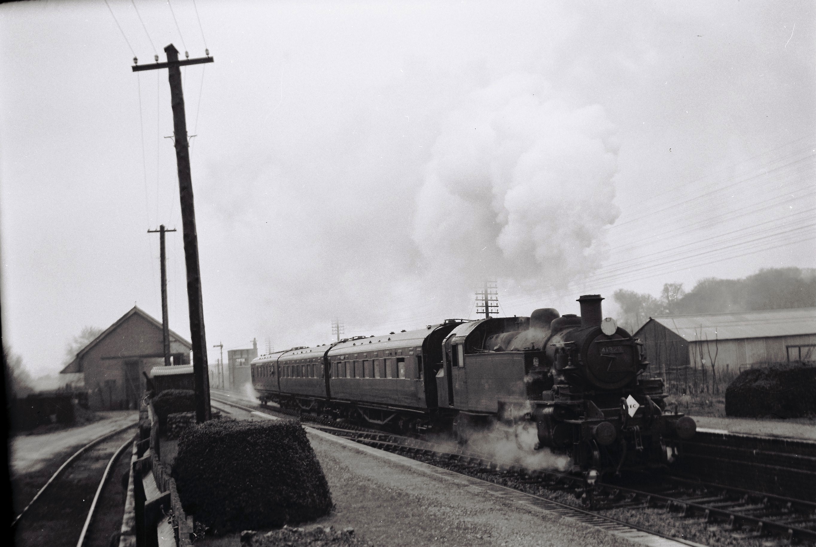
Whitchurch railway station (Hampshire)
Whitchurch railway station serves the town of Whitchurch in Hampshire, England. It is 59 miles 8 chains (95.1 km) down the line from London Waterloo. The...
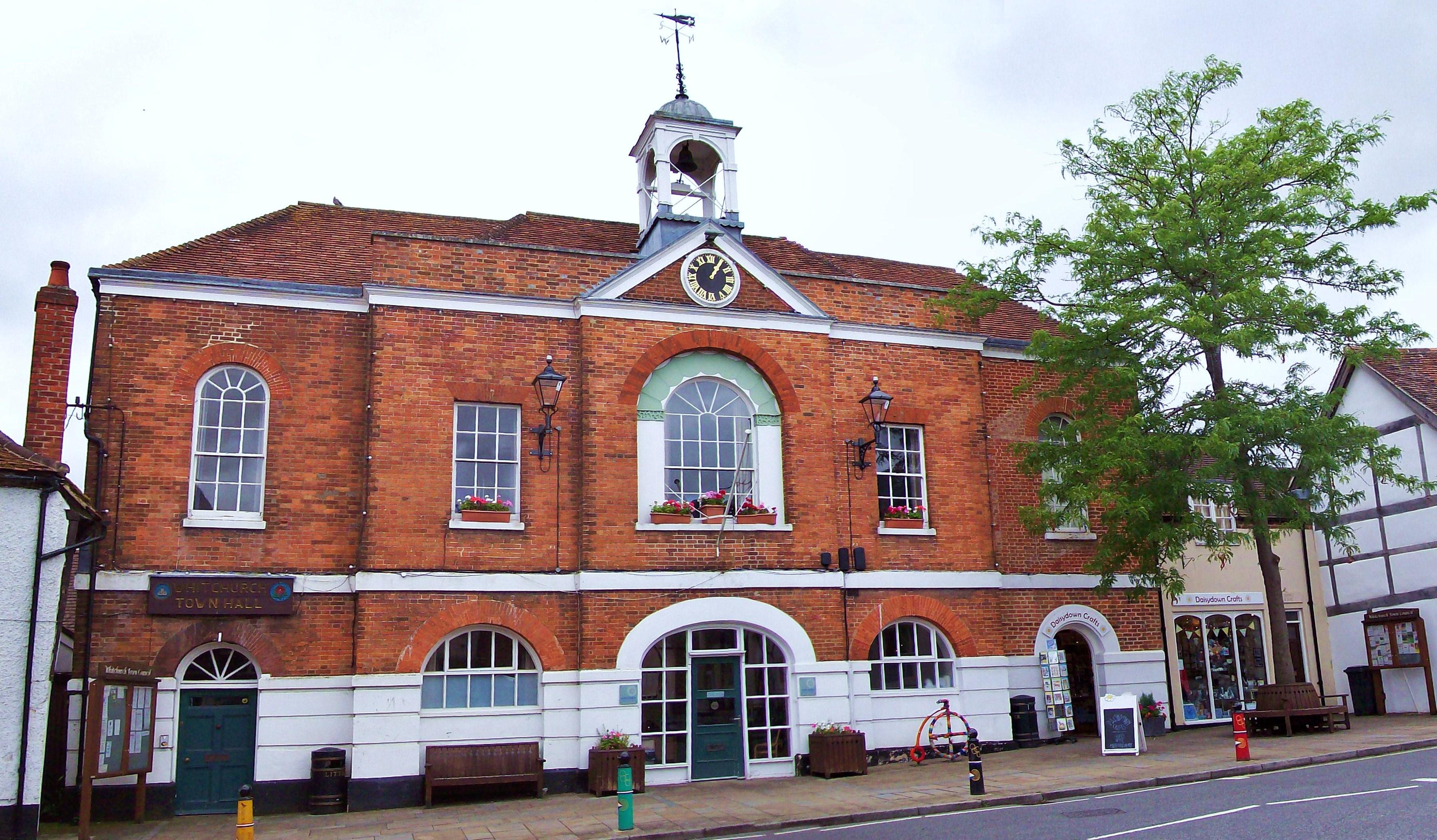
Whitchurch Town Hall
Whitchurch Town Hall is a municipal structure in Newbury Street, Whitchurch, Hampshire, England. The structure, which is the meeting place of Whitchurch...
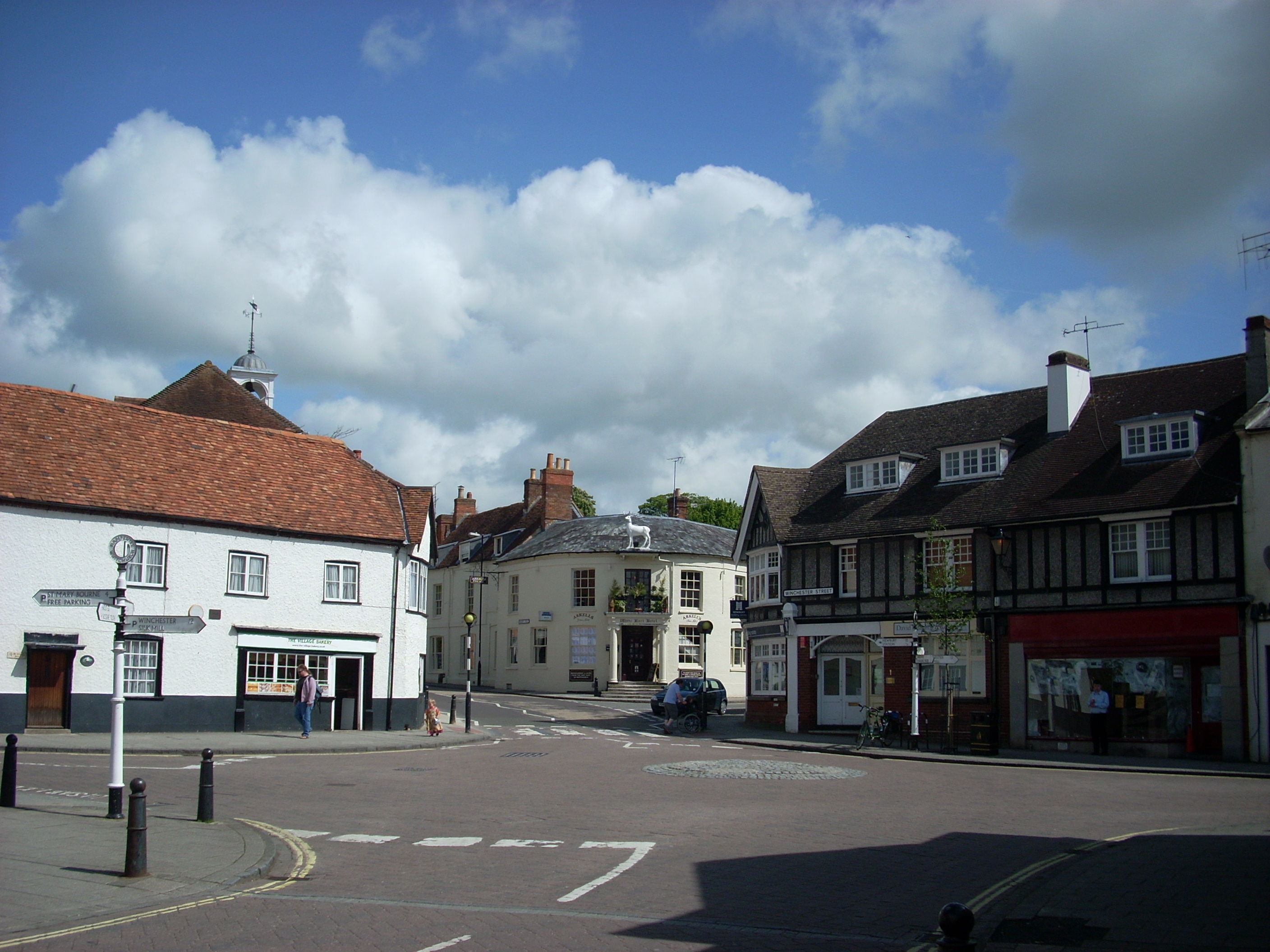
Whitchurch, Hampshire
Whitchurch is a town in the borough of Basingstoke and Deane in Hampshire, England. It is on the River Test, 13 miles (21 km) south of Newbury, Berkshire...

Whitchurch Rural District, Hampshire
Whitchurch was a rural district in Hampshire, England from 1894 to 1932. It was formed under the Local Government Act 1894 based on the Whitchurch rural...
Whitchurch Town railway station
Whitchurch Town railway station was a station on the Didcot, Newbury and Southampton Railway in England. It served the town of Whitchurch, Hampshire, between...
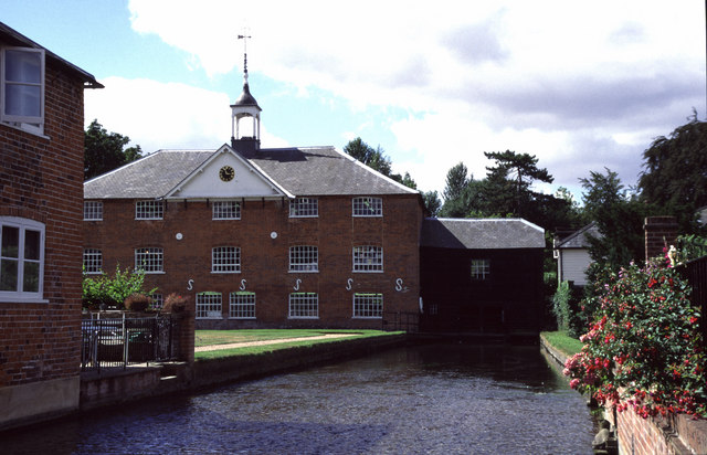
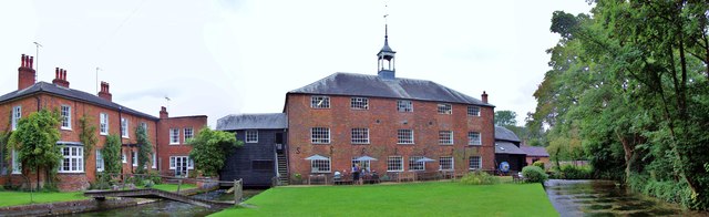
Whitchurch Silk Mill
Whitchurch Silk Mill is a watermill on the River Test, located in the town of Whitchurch, Hampshire, England. It is a Grade II* listed building == History... ==
Testbourne Community School
Testbourne Community School in Whitchurch, Hampshire, England, has been a secondary school since the Victorian era and is a foundation school. It educates...
Whitchurch United F.C.
Whitchurch United F.C. is an English football club based in Whitchurch, Hampshire. The club has senior teams in the Wessex League Division One and play...
Nearby Amenities
Located within 500m of 51.237169,-1.3417058Have you been to The Plantation?
Leave your review of The Plantation below (or comments, questions and feedback).