Sandhole Spinney
Wood, Forest in Leicestershire Hinckley and Bosworth
England
Sandhole Spinney
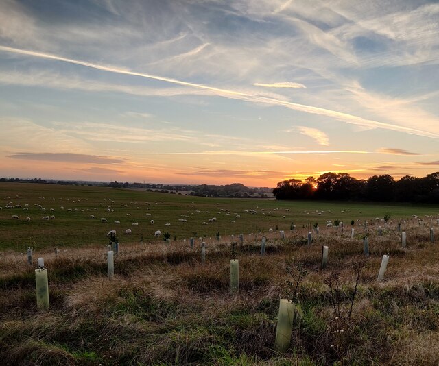
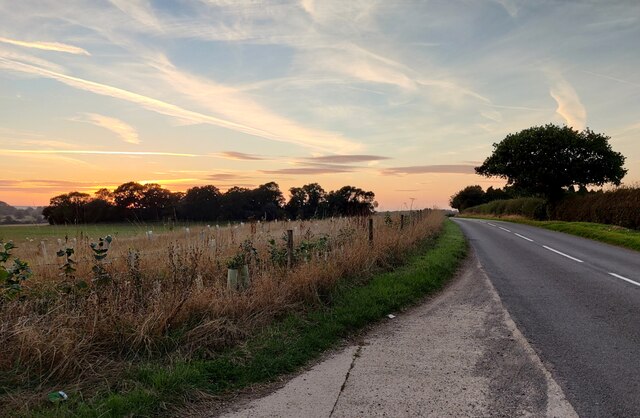
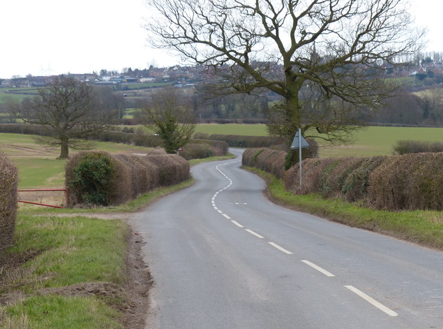
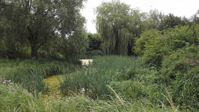
Sandhole Spinney is a picturesque woodland located in Leicestershire, England. Nestled in the heart of the county, this enchanting forest covers an area of approximately 20 acres. The Spinney is known for its stunning natural beauty, offering visitors a tranquil escape from the bustling city life.
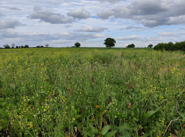
This charming woodland is characterized by its dense canopy of mature trees, including oak, birch, and beech, which provide a haven for a diverse range of wildlife. The forest floor is adorned with an array of wildflowers during the spring and summer months, creating a vibrant and colorful landscape.
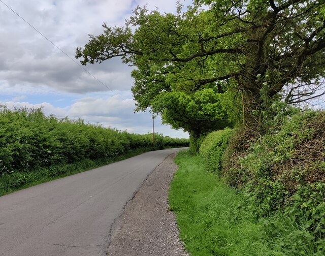
The Spinney is crisscrossed by a network of well-maintained trails, allowing visitors to explore its various nooks and crannies. These paths wind through the forest, providing an opportunity to discover hidden ponds, babbling brooks, and peaceful clearings. Nature enthusiasts can indulge in birdwatching, as the Spinney is home to a variety of bird species, including woodpeckers, robins, and owls.
Sandhole Spinney offers a peaceful retreat for those seeking solitude and relaxation. The tranquil atmosphere and stunning natural surroundings make it an ideal spot for picnics, nature walks, and photography. Visitors can spend hours immersing themselves in the beauty of the woodland, enjoying the sights and sounds of nature.
Managed by the local authorities, Sandhole Spinney is open to the public throughout the year. It is easily accessible by foot or bike, with ample parking available nearby. The woodland provides a valuable green space for the local community, offering a place for recreation, education, and appreciation of the natural world.
If you have any feedback on the listing, please let us know in the comments section below.
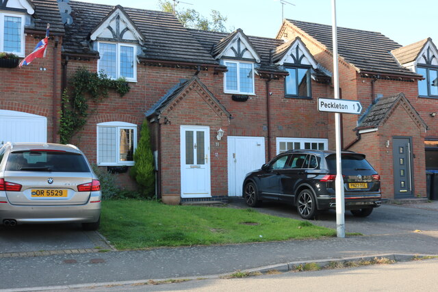
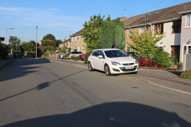
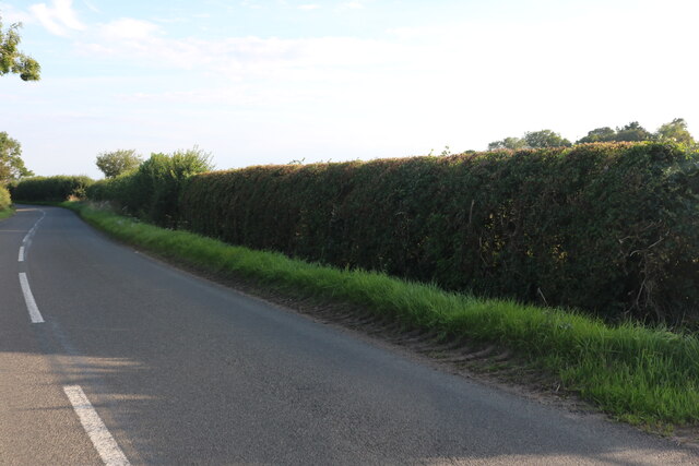
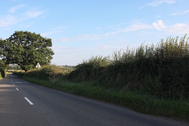
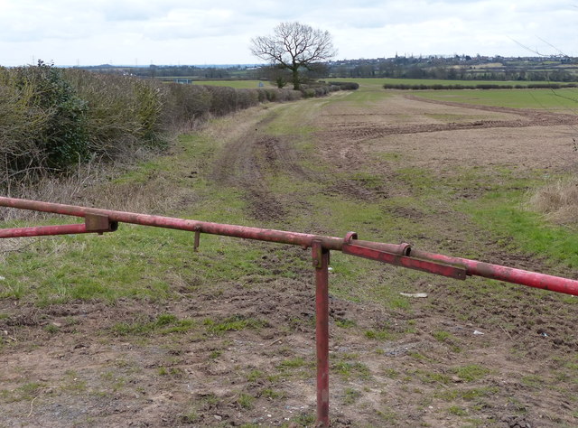
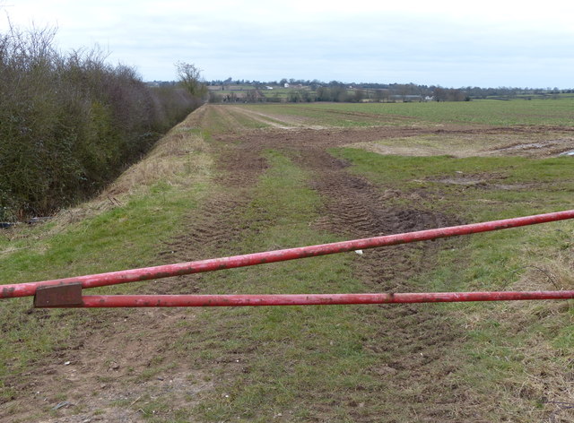
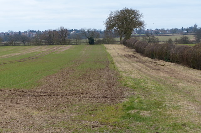
Sandhole Spinney Images
Images are sourced within 2km of 52.6056/-1.325404 or Grid Reference SK4501. Thanks to Geograph Open Source API. All images are credited.


Sandhole Spinney is located at Grid Ref: SK4501 (Lat: 52.6056, Lng: -1.325404)
Administrative County: Leicestershire
District: Hinckley and Bosworth
Police Authority: Leicestershire
What 3 Words
///highbrow.starting.imperious. Near Newbold Verdon, Leicestershire
Nearby Locations
Related Wikis

Kirkby Mallory
Kirkby Mallory is a village and former civil parish, now in the parish of Kirkby Mallory, Peckleton and Stapleton, in the Hinckley and Bosworth district...

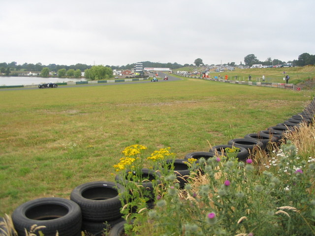
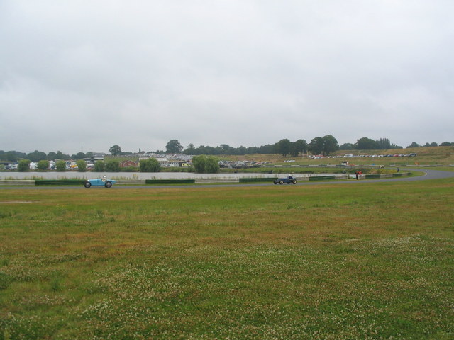
Mallory Park
Mallory Park is a motor racing circuit situated in the village of Kirkby Mallory, just off the A47, between Leicester and Hinckley, in central England...

Peckleton
Peckleton is a small village and former civil parish, now in the parish of Kirkby Mallory, Peckleton and Stapleton, in the Hinckley and Bosworth district...

Brascote
Brascote is a hamlet forming part of the Newbold Verdon civil parish in the Hinckley and Bosworth district of Leicestershire, England. The population...

Hinckley and Bosworth
Hinckley and Bosworth is a local government district with borough status in Leicestershire, England. The council is based in Hinckley, the largest town...

RAF Desford
Royal Air Force Desford or more simply RAF Desford is a former Royal Air Force station located one mile (1.6 km) south of Desford, Leicestershire, and...

Newbold Verdon
Newbold Verdon is a village and civil parish in the county of Leicestershire, England. The parish includes Newbold Heath to the north and Brascote to the...

Desford
Desford is a village and civil parish in the Hinckley and Bosworth district of England, 7 miles (11 km) west of the centre of Leicester and around 7 miles...
Nearby Amenities
Located within 500m of 52.6056,-1.325404Have you been to Sandhole Spinney?
Leave your review of Sandhole Spinney below (or comments, questions and feedback).