Jubilee Plantation
Wood, Forest in Leicestershire Hinckley and Bosworth
England
Jubilee Plantation
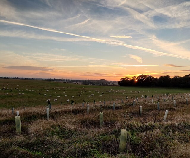
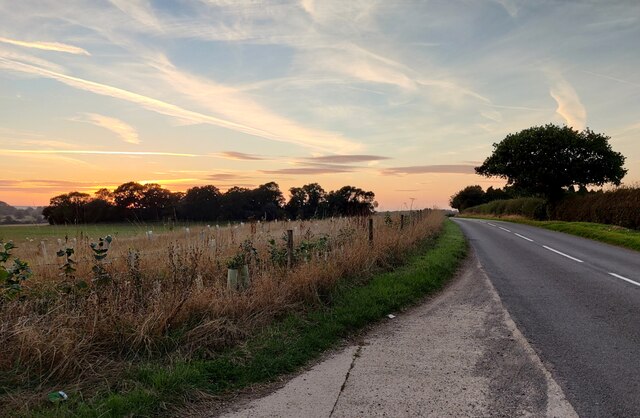
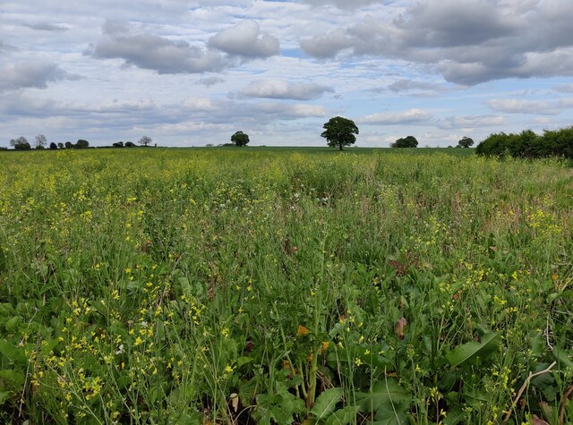
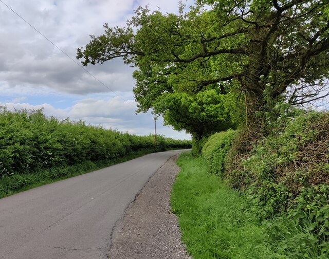
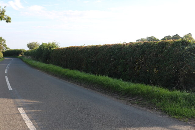
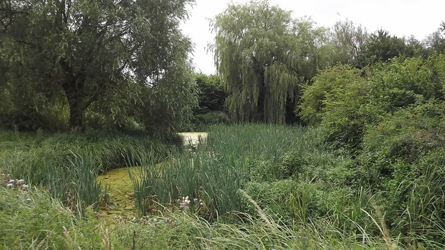
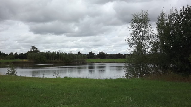
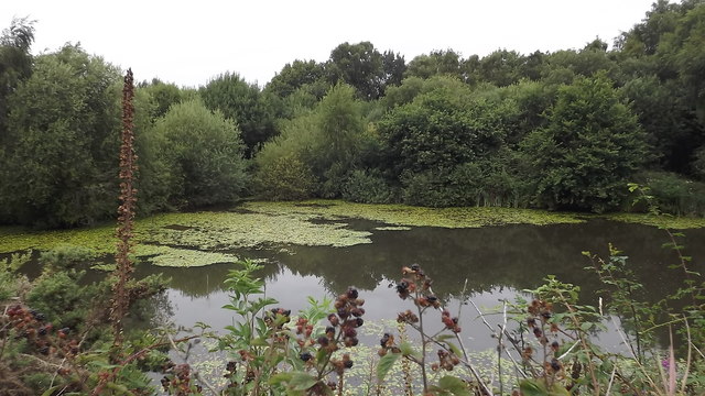
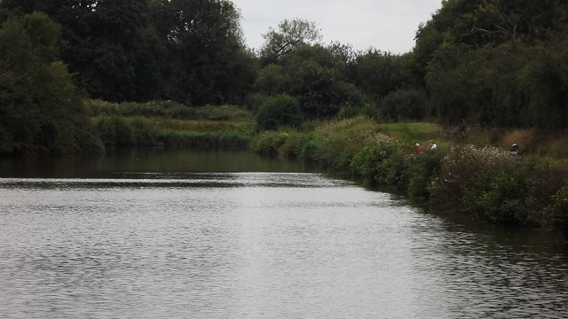
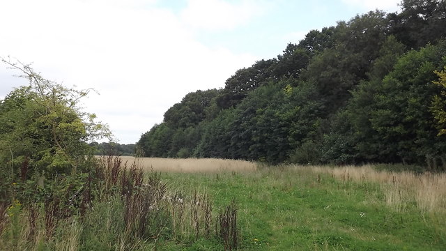
Jubilee Plantation is a scenic woodland located in Leicestershire, England. Covering an area of approximately 50 hectares, it is situated in the heart of the county, near the village of Woodhouse Eaves. The plantation is known for its lush greenery, diverse flora and fauna, and tranquil atmosphere, making it a popular destination for nature enthusiasts and hikers.
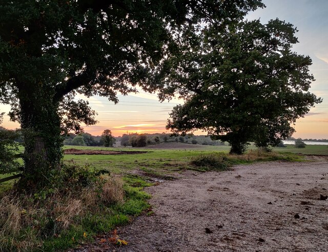
The woodland is predominantly composed of broadleaf trees, including oak, birch, and beech, which provide a vibrant display of colors throughout the seasons. These trees create a dense canopy, allowing only dappled sunlight to filter through, adding to the enchanting ambiance of the woodland. Jubilee Plantation is also home to a variety of wildlife, including deer, foxes, badgers, and numerous bird species, making it a haven for wildlife enthusiasts and birdwatchers.
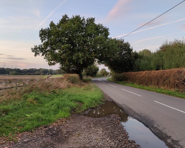
The plantation offers several well-maintained walking trails, ranging from easy strolls to more challenging hikes, allowing visitors to explore its natural beauty at their own pace. Along these trails, visitors can discover picturesque ponds, meandering streams, and ancient stone walls, which add to the charm of the woodland. Additionally, there are picnic areas and benches scattered throughout the plantation, providing visitors with the opportunity to relax and enjoy the peaceful surroundings.
Jubilee Plantation is open to the public throughout the year, with no admission fee. It is managed by the local authorities, who ensure the conservation of the woodland and its wildlife. With its stunning scenery and abundant biodiversity, Jubilee Plantation offers a serene escape from the hustle and bustle of everyday life, providing a perfect retreat for nature lovers and outdoor enthusiasts alike.
If you have any feedback on the listing, please let us know in the comments section below.
Jubilee Plantation Images
Images are sourced within 2km of 52.612329/-1.3357126 or Grid Reference SK4501. Thanks to Geograph Open Source API. All images are credited.

Jubilee Plantation is located at Grid Ref: SK4501 (Lat: 52.612329, Lng: -1.3357126)
Administrative County: Leicestershire
District: Hinckley and Bosworth
Police Authority: Leicestershire
What 3 Words
///laughs.price.bank. Near Newbold Verdon, Leicestershire
Nearby Locations
Related Wikis

Brascote
Brascote is a hamlet forming part of the Newbold Verdon civil parish in the Hinckley and Bosworth district of Leicestershire, England. The population...

Hinckley and Bosworth
Hinckley and Bosworth is a local government district with borough status in Leicestershire, England. The council is based in Hinckley, the largest town...

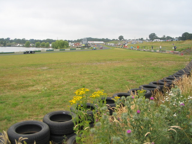
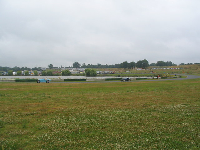
Mallory Park
Mallory Park is a motor racing circuit situated in the village of Kirkby Mallory, just off the A47, between Leicester and Hinckley, in central England...

Kirkby Mallory
Kirkby Mallory is a village and former civil parish, now in the parish of Kirkby Mallory, Peckleton and Stapleton, in the Hinckley and Bosworth district...

Newbold Verdon
Newbold Verdon is a village and civil parish in the county of Leicestershire, England. The parish includes Newbold Heath to the north and Brascote to the...

Peckleton
Peckleton is a small village and former civil parish, now in the parish of Kirkby Mallory, Peckleton and Stapleton, in the Hinckley and Bosworth district...

Newbold Verdon Hall
Newbold Verdon Hall was an 18th-century country house, later a farmhouse, in the village of Newbold Verdon, Leicestershire, England. It is a Grade I listed...

Cadeby Light Railway
The Cadeby Light Railway was a 2 ft (610 mm) narrow-gauge railway in the garden of the rectory in Cadeby, Leicestershire. In the early 1960s the Reverend...
Nearby Amenities
Located within 500m of 52.612329,-1.3357126Have you been to Jubilee Plantation?
Leave your review of Jubilee Plantation below (or comments, questions and feedback).