Ash Grove

Settlement in Flintshire

Wales

Ash Grove

Bank Farm By a junction on the B5069 at Sodylt Bank.
Bank Farm Credit: Maggie Cox

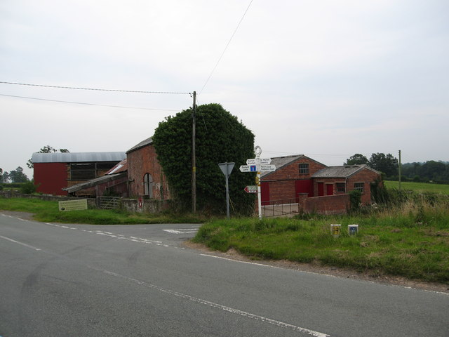
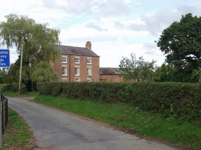
Ash Grove is a small village located in Flintshire, Wales. Situated on the banks of the River Dee, it is nestled within the picturesque Welsh countryside. The village is part of the community of Caergwrle and has a population of around 500 residents.

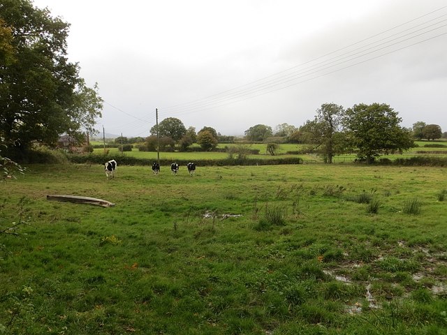
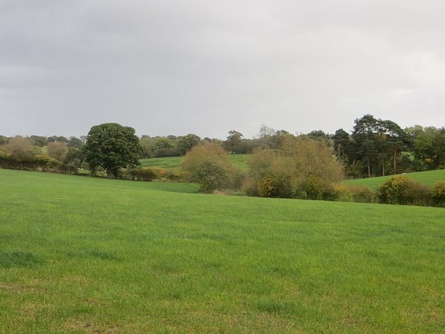
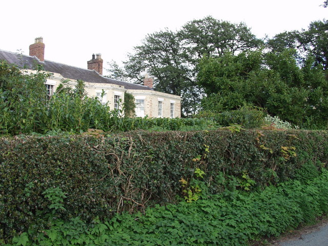
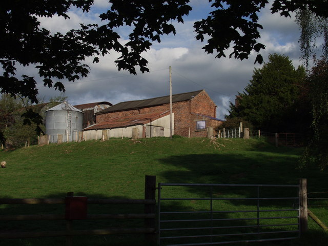
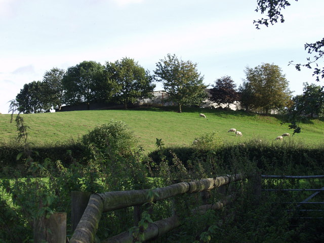
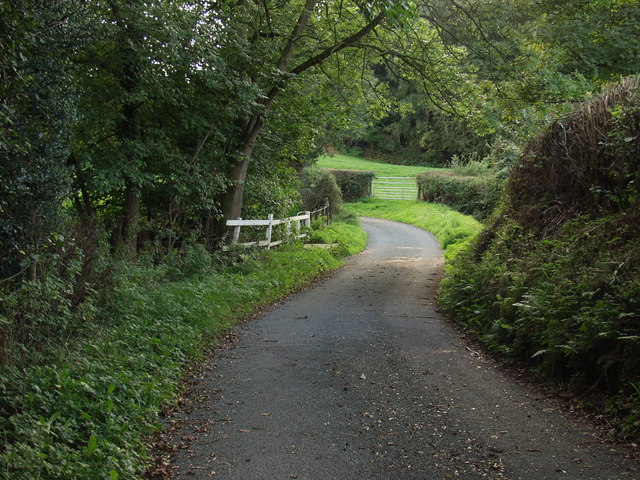
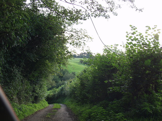
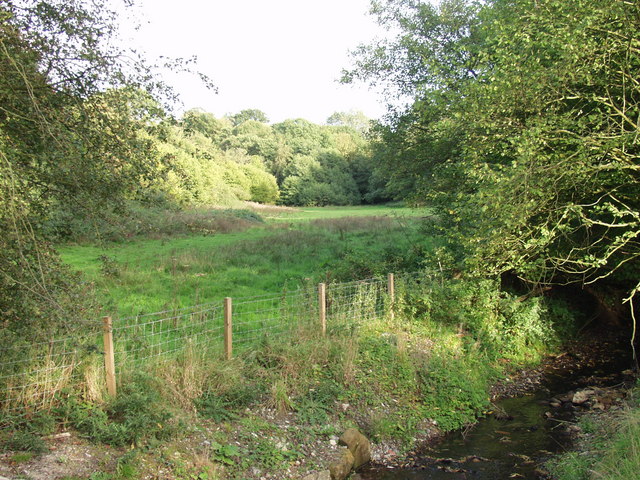
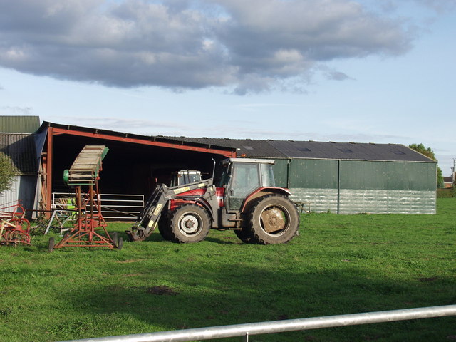
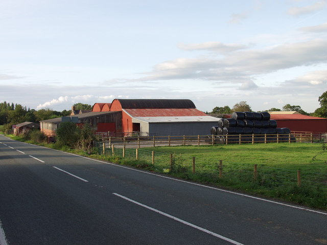
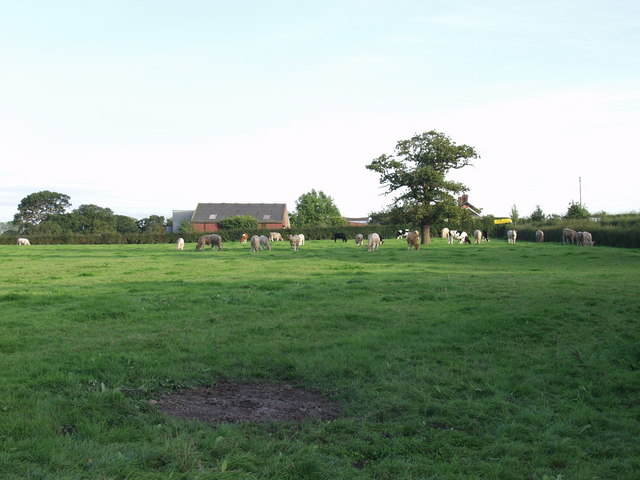
The history of Ash Grove can be traced back to the medieval period when it was a thriving farming community. Today, the village retains its rural charm, with a mix of traditional stone cottages and modern houses. The surrounding landscape is characterized by rolling hills, lush green fields, and beautiful woodland areas.

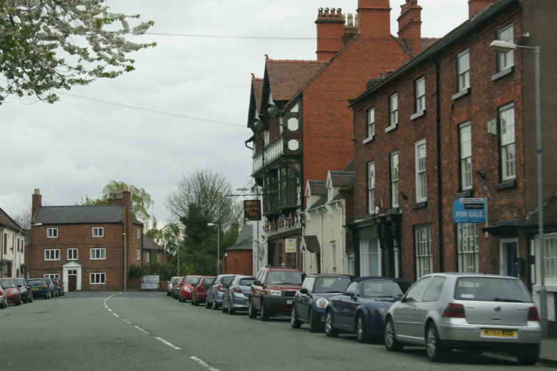
Despite its small size, Ash Grove offers a range of amenities for its residents. There is a primary school, a village hall, and a local pub, providing a sense of community and a place for social gatherings. Additionally, the village is well-connected to nearby towns and cities, with good transport links, including regular bus services.

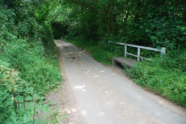
Nature lovers will find plenty to explore in the area surrounding Ash Grove. The nearby Loggerheads Country Park offers opportunities for hiking, cycling, and picnicking. The River Dee provides a tranquil setting for fishing and boating enthusiasts.

Overall, Ash Grove offers a peaceful and idyllic setting for those seeking a rural lifestyle. Its beautiful natural surroundings, combined with its close-knit community, make it an attractive place to live for residents of all ages.

If you have any feedback on the listing, please let us know in the comments section below.
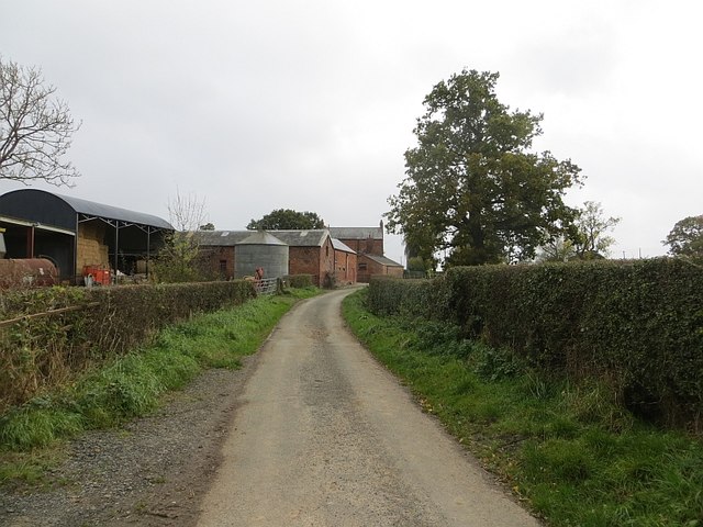
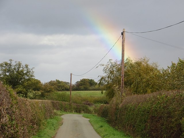
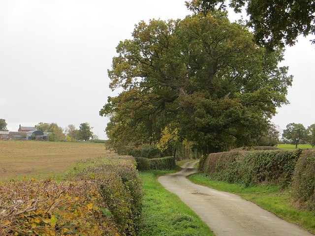
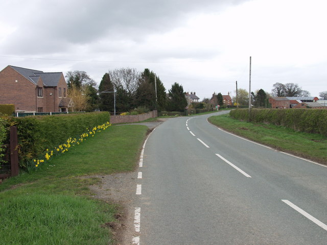
Ash Grove Images

Images are sourced within 2km of 52.953541/-2.9540616 or Grid Reference SJ3640. Thanks to Geograph Open Source API. All images are credited.

Bank Farm By a junction on the B5069 at Sodylt Bank.
Bank Farm
By a junction on the B5069 at Sodylt Bank.
Ford at Plas-Thomas This ford is found beside Castle Dingle wood near Plas-Thomas.
Ford at Plas-Thomas
This ford is found beside Castle Dingle wood near Plas-Thomas.
Heifers near Pentre Holsteins investigating, expecting to be fed.
Heifers near Pentre
Holsteins investigating, expecting to be fed.
Grassland, Pentre-coed Dairy farming country.
Grassland, Pentre-coed
Dairy farming country.
Pentre-coed Lane from the north.
Pentre-coed
Lane from the north.
Lane, Pentre-coed Lots of rainbows today.
Lane, Pentre-coed
Lots of rainbows today.
Pentre-coed An oak lined road heading south towards Pentre-coed, Shropshire.
Pentre-coed
An oak lined road heading south towards Pentre-coed, Shropshire.
The steadily expanding hamlet of Sodylt Bank Used to be a few cottages on a cross lanes, recently there has been steady expansion along the B 5069.
The steadily expanding hamlet of Sodylt Bank
Used to be a few cottages on a cross lanes, recently there has been steady expansion along the B 5069.
Pentre Coed A stunning three storey country house, with some attached brick built buildings.
Pentre Coed
A stunning three storey country house, with some attached brick built buildings.
Erway Hall A large country house with views over the surrounding countryside.
Erway Hall
A large country house with views over the surrounding countryside.
Pant Farm A mixed livestock farm with a mix of traditional and newer buildings.
Pant Farm
A mixed livestock farm with a mix of traditional and newer buildings.
Sheep grazing at Pant Farm The north side of the farm has a steeply banked field which is suitable for sheep.
Sheep grazing at Pant Farm
The north side of the farm has a steeply banked field which is suitable for sheep.
Rural lane with flood time ford Lane near Pant.
Rural lane with flood time ford
Lane near Pant.
Steep lane down to the border Set between high hedges the road descends rapidly to the Shell Brook which is the Wales / England border.
Steep lane down to the border
Set between high hedges the road descends rapidly to the Shell Brook which is the Wales / England border.
Borderland grazings near Pentre Farm The grazing next to the Shell Brook which would be designated as "flood plain" - small but important.
Borderland grazings near Pentre Farm
The grazing next to the Shell Brook which would be designated as "flood plain" - small but important.
Buildings at  Rhewl Farm Relatively modern buildings at the back of this mixed livestock farm.
Buildings at Rhewl Farm
Relatively modern buildings at the back of this mixed livestock farm.
Crab Mill Farm This mixed livestock livestock farm is for sale, "with a comphrehensive range of livestock buildings". There is outline planning for conversion of two of the buildings to residential use.
Crab Mill Farm
This mixed livestock livestock farm is for sale, "with a comphrehensive range of livestock buildings". There is outline planning for conversion of two of the buildings to residential use.
Cattle grazing near Crab Mill Farm Beef type steers grazing the excellent grass that has grown following the return to wet and warm weather.
Cattle grazing near Crab Mill Farm
Beef type steers grazing the excellent grass that has grown following the return to wet and warm weather.
Show me another place!

Ash Grove is located at Grid Ref: SJ3640 (Lat: 52.953541, Lng: -2.9540616)

Unitary Authority: Wrexham

Police Authority: North Wales

What 3 Words

///present.commuted.hindered. Near Overton, Wrexham

Related Wikis

Shellbrook Hill

Shellbrook Hill is a grade II listed house in Ellesmere Rural, Shropshire, England, less than a quarter of a mile from part of the Wales border. The house...

Erbistock

Erbistock (Welsh: Erbistog) is a village and community in Wrexham County Borough, Wales. The village lies on the banks of the River Dee. The community...

Overton-on-Dee

Overton (Welsh: Owrtyn) or Overton-on-Dee is a village and community in Wrexham County Borough, Wales. It is situated close to the Welsh-English border...

Knolton

Knolton () is a hamlet in Wrexham County Borough, Wales, close to the border with Shropshire, England. It is in Overton parish, and is 5½ miles ENE of...

Overton-on-Dee railway station

Overton-on-Dee railway station was a station to the southeast of Overton-on-Dee, Wrexham, Wales at Lightwood Green. The station was opened on 2 November...

River Ceiriog

The River Ceiriog (Welsh: Afon Ceiriog) is an 18 miles (29 km) long river in north east Wales, whose name may derive from a term meaning "favoured one...

Trench Halt railway station

Trench Halt railway station was a station to the northwest of Dudleston Heath, Shropshire, England. The station was opened in 1914 and closed in 1962....

Pen-y-Lan Hall

Pen-y-Lan Hall is a Grade II-listed Tudor-Gothic Revival country house located near the village of Ruabon in Wrexham County Borough, Wales. The building...

Nearby Amenities

Located within 500m of 52.953541,-2.9540616
Place: farm
Lat/Long: 52.957687/-2.9514607
Barrier: stile
Lat/Long: 52.9550678/-2.9490088
Barrier: stile
Lat/Long: 52.9555794/-2.9570862
Barrier: stile
Lat/Long: 52.9574844/-2.9559885
Power: pole
Lat/Long: 52.9497842/-2.9573353
Power: pole
Lat/Long: 52.9503401/-2.9559137
Power: pole
Lat/Long: 52.9507797/-2.954704
Power: pole
Lat/Long: 52.951174/-2.9536526
Power: pole
Lat/Long: 52.9514681/-2.9527889
Power: pole
Lat/Long: 52.9518818/-2.9516034
Power: pole
Lat/Long: 52.9523908/-2.9501416
Power: pole
Lat/Long: 52.9528772/-2.9487468
Power: pole
Lat/Long: 52.9533345/-2.9474272
The data included in this document is from www.openstreetmap.org. The data is made available under ODbL.

Have you been to Ash Grove?

Leave your review of Ash Grove below (or comments, questions and feedback).