Brown Hill Plantation
Wood, Forest in Hampshire Basingstoke and Deane
England
Brown Hill Plantation
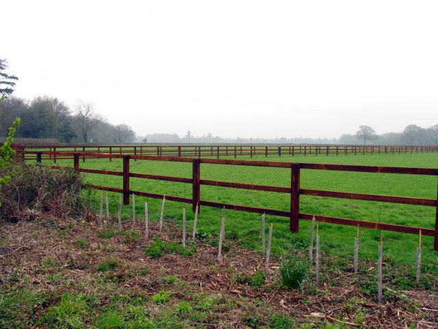
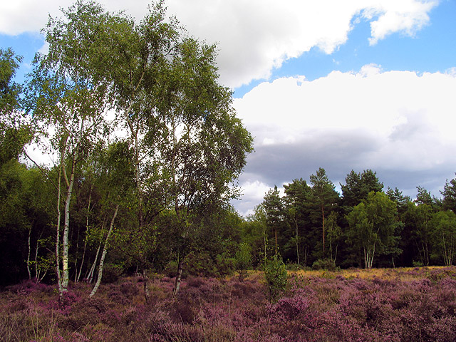
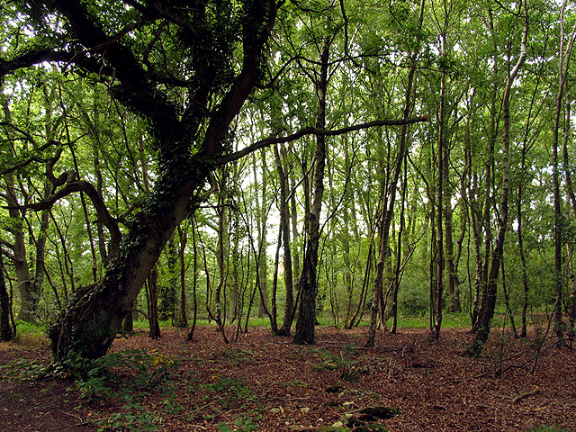
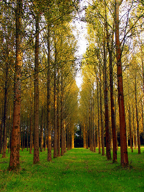
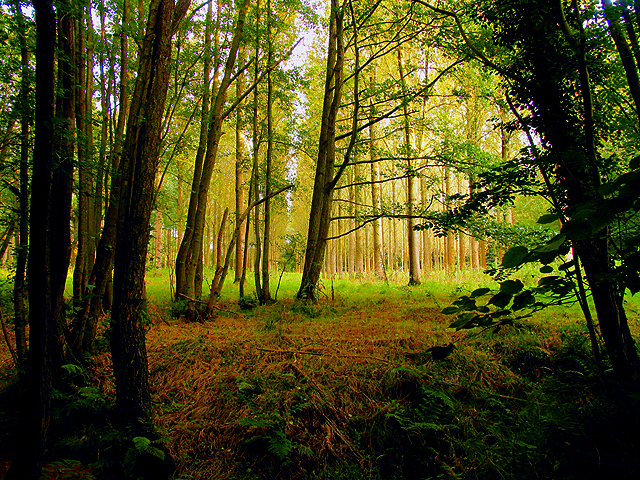
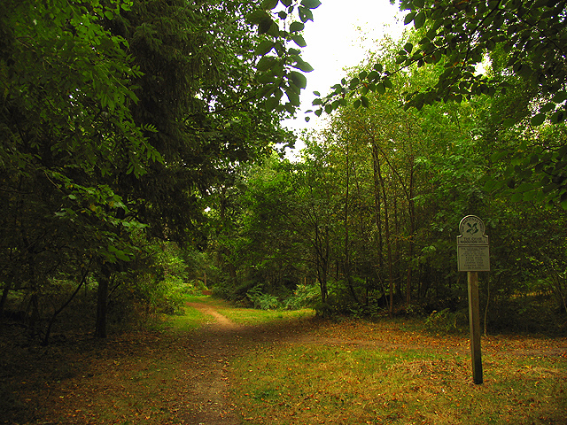
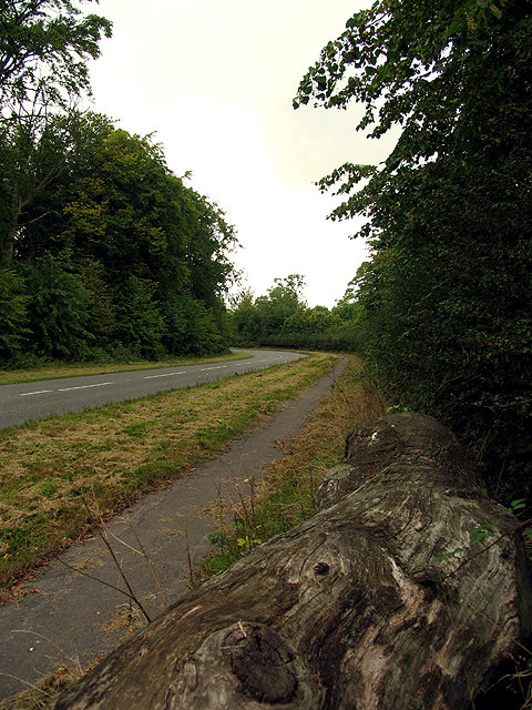
Brown Hill Plantation is a picturesque woodland located in Hampshire, England. Covering an area of approximately 100 acres, it is renowned for its natural beauty and diverse ecosystem. The plantation is predominantly composed of deciduous trees, including oak, beech, and birch, which create a stunning canopy throughout the forest.
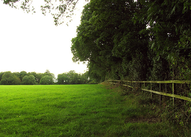
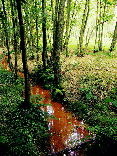
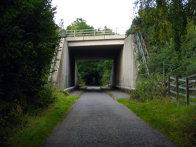
The terrain of Brown Hill Plantation is gently undulating, with small hills and valleys adding to its charm. Walking paths meander through the woodland, providing visitors with opportunities to explore and immerse themselves in nature. The plantation is a popular destination for nature enthusiasts, hikers, and birdwatchers, who are drawn to its tranquil atmosphere.
Wildlife thrives in Brown Hill Plantation, with a wide range of species making their homes within its boundaries. Squirrels can be spotted darting between the trees, while rabbits and deer are often seen grazing in the open clearings. The forest is also home to a variety of birds, such as woodpeckers, owls, and thrushes, making it a haven for birdwatchers.
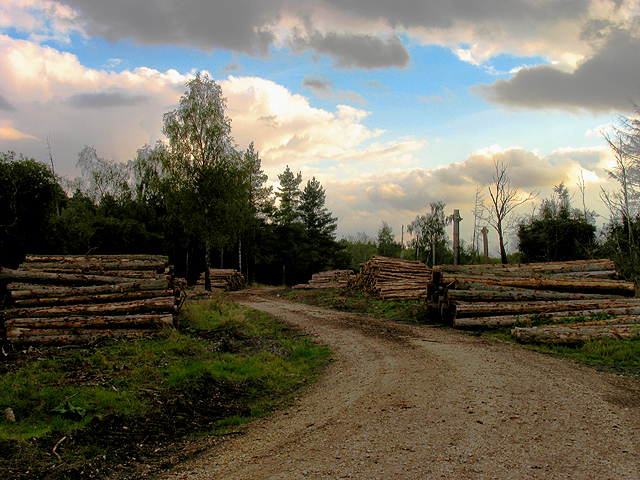
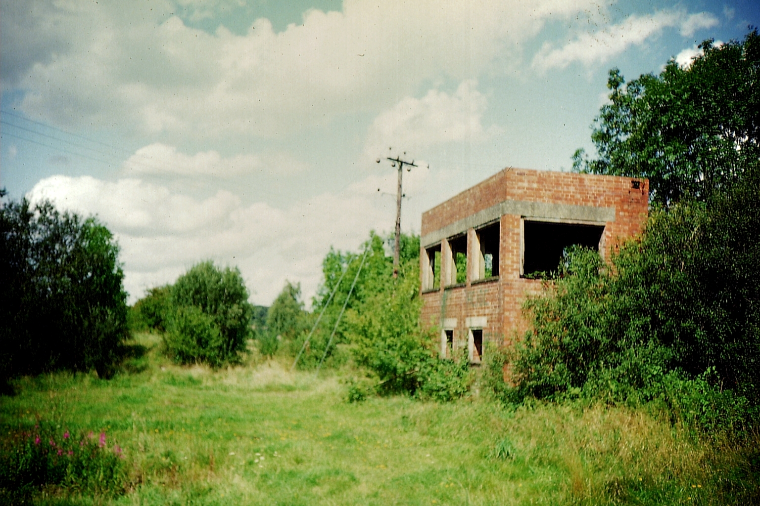
In addition to its natural beauty, Brown Hill Plantation has historical significance. It was once part of a larger estate and has remnants of old stone walls and boundaries, serving as a reminder of its past. The plantation is actively managed, with careful consideration given to maintaining its ecological balance and preserving its natural heritage.
Overall, Brown Hill Plantation in Hampshire offers visitors a tranquil escape into nature. With its diverse woodland, abundant wildlife, and historical charm, it is a place where one can reconnect with the natural world and experience the beauty of Hampshire's countryside.
If you have any feedback on the listing, please let us know in the comments section below.
Brown Hill Plantation Images
Images are sourced within 2km of 51.35791/-1.349255 or Grid Reference SU4562. Thanks to Geograph Open Source API. All images are credited.
Brown Hill Plantation is located at Grid Ref: SU4562 (Lat: 51.35791, Lng: -1.349255)
Administrative County: Hampshire
District: Basingstoke and Deane
Police Authority: Hampshire
What 3 Words
///obviously.device.sailed. Near Highclere, Hampshire
Related Wikis

Penwood
Penwood is a village in the civil parish of Highclere in the Basingstoke and Deane district of Hampshire, England. Its nearest town is Newbury, which lies...
Horris Hill School
Horris Hill, is an independent day and boarding preparatory school for boys aged 4–13. It is located in Berkshire in England, south of Newbury in West...

Wash Water
Wash Water is a hamlet on the border of Berkshire, and Hampshire. It is divided between the civil parishes of Enborne (where according to Grid Refs the...
Woodhay railway station
Woodhay railway station was a station on the Didcot, Newbury and Southampton Railway in England. It was located about five miles south of the junction...
Enborne Row
Enborne Row is a hamlet in Berkshire, England, located on the county's border with Hampshire. The hamlet is within the civil parish of Enborne. The settlement...

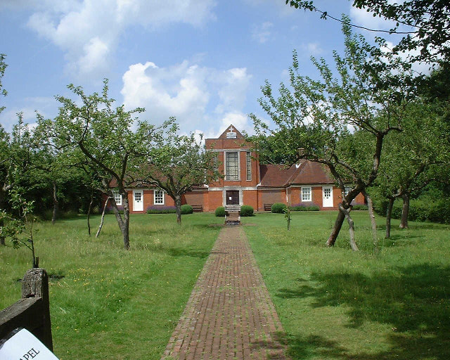
Sandham Memorial Chapel
Sandham Memorial Chapel is in the village of Burghclere, Hampshire, England. It is a Grade I listed, 1920s decorated chapel, designed by Lionel Godfrey...

Newtown Common
Newtown Common is a village in the Basingstoke and Deane district of Hampshire, England. Its nearest town is Newbury, which lies approximately 2.5 miles...

Highclere railway station
Highclere railway station was a station on the Didcot, Newbury and Southampton Railway in England. It shares the name of the nearby village of Highclere...
Nearby Amenities
Located within 500m of 51.35791,-1.349255Have you been to Brown Hill Plantation?
Leave your review of Brown Hill Plantation below (or comments, questions and feedback).