Captain Wood
Wood, Forest in Yorkshire
England
Captain Wood

The requested URL returned error: 429 Too Many Requests
If you have any feedback on the listing, please let us know in the comments section below.
Captain Wood Images
Images are sourced within 2km of 53.819135/-1.3142319 or Grid Reference SE4536. Thanks to Geograph Open Source API. All images are credited.


Captain Wood is located at Grid Ref: SE4536 (Lat: 53.819135, Lng: -1.3142319)
Division: West Riding
Unitary Authority: Leeds
Police Authority: West Yorkshire
What 3 Words
///violin.affirming.helm. Near Aberford, West Yorkshire
Nearby Locations
Related Wikis

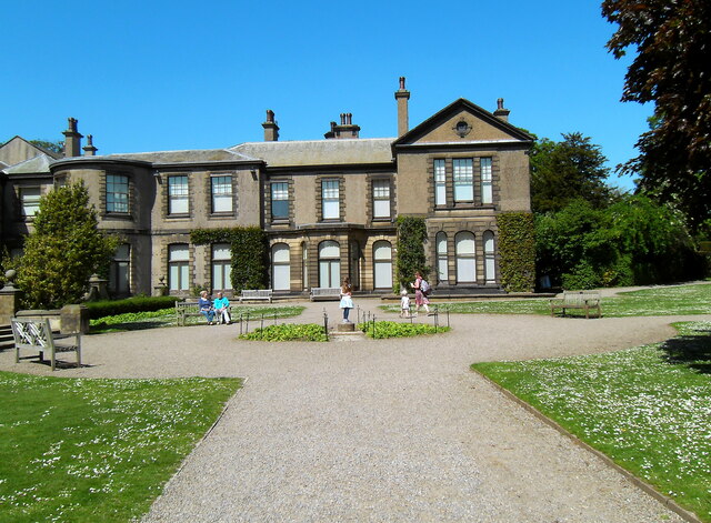
Lotherton Hall
Lotherton Hall is a country house near Aberford in West Yorkshire, England. It is a short distance from the A1(M) motorway, 200 miles (320 km) equidistant...

Lotherton cum Aberford
Lotherton cum Aberford is a civil parish in the metropolitan borough of Leeds in West Yorkshire, England. The population of the civil parish (including...
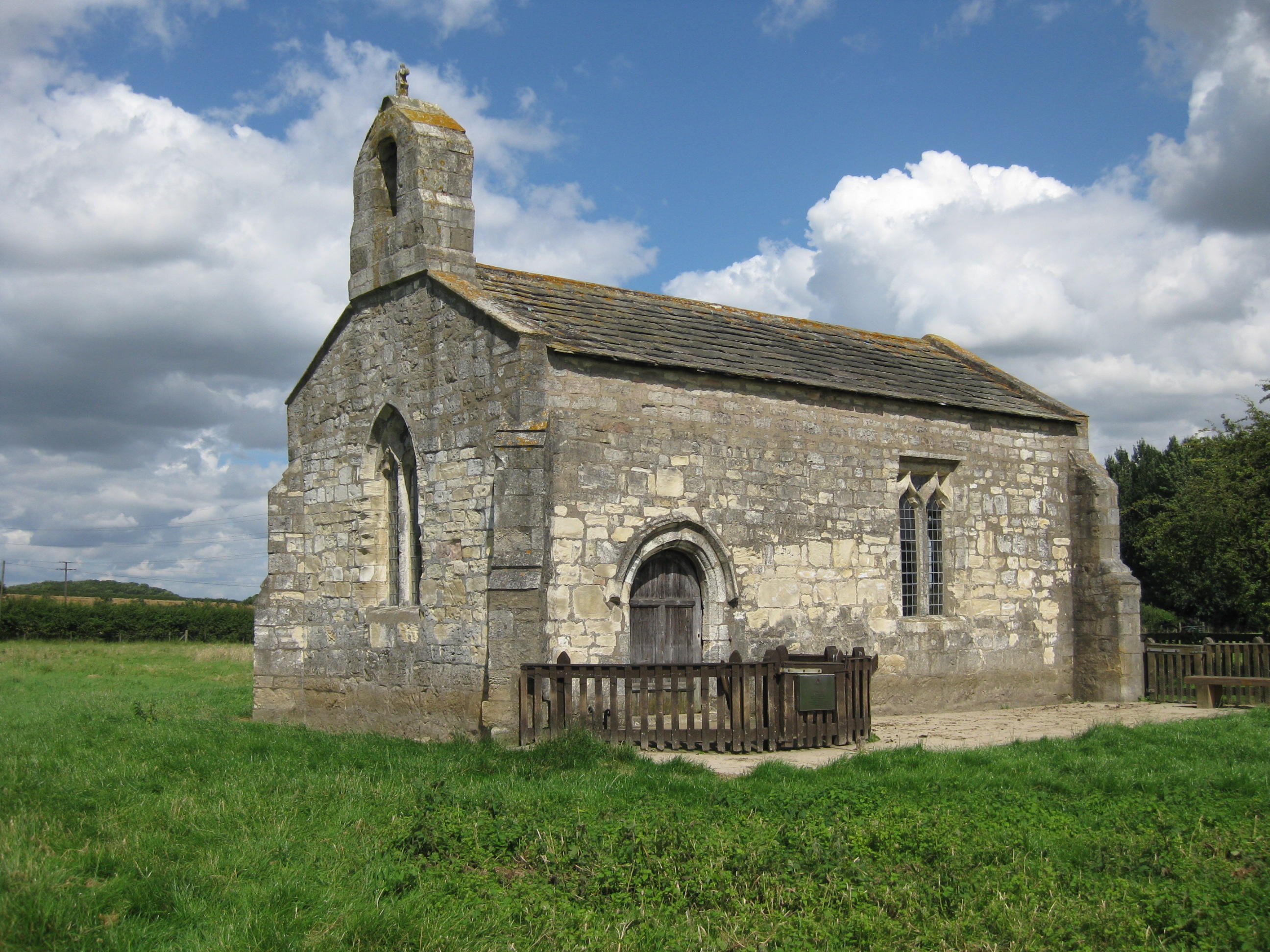
St Mary's Chapel, Lead
St Mary's Church, Lead, is a redundant Anglican chapel standing in an isolated position in fields some 0.75 miles (1.2 km) to the west of the village of...

Aberford railway station
Aberford railway station served the village of Aberford, West Yorkshire, England, from 1837 to 1924 on the Aberford Railway. == History == The station...
Nearby Amenities
Located within 500m of 53.819135,-1.3142319Have you been to Captain Wood?
Leave your review of Captain Wood below (or comments, questions and feedback).