Boyatt Wood

Wood, Forest in Hampshire Eastleigh

England

Boyatt Wood

Chandler's Ford railway station, Hampshire Opened in 1847 on the London & South Western Railway's line from Eastleigh to Romsey, this station closed in 1969. It was rebuilt and reopened in 2003.
View north west towards Romsey. The original station's main building was to the right of the line, rather than the left. The disused eastbound platform can also be seen on the right.
Chandler's Ford railway station, Hampshire Credit: Nigel Thompson

Boyatt Wood is a residential area located in Eastleigh, Hampshire, England. Situated near the town center, it is a popular choice for families and professionals due to its convenient location and abundance of amenities.

The area is characterized by its well-maintained housing estates, primarily comprising of semi-detached and terraced houses. The properties are often modern in design and offer a range of sizes to suit different needs. Boyatt Wood is known for its peaceful atmosphere, making it a desirable place to live.

Residents of Boyatt Wood benefit from a wide range of amenities within close proximity. There are several local shops and supermarkets for everyday needs, as well as a selection of cafes, pubs, and restaurants for dining out. The nearby Eastleigh town center provides further shopping and leisure opportunities, including a shopping mall and a cinema complex.

For outdoor enthusiasts, Boyatt Wood is surrounded by green spaces and parks. The area is in close proximity to Fleming Park, a large recreational area that offers various sports facilities, a swimming pool, and a leisure center. Additionally, the nearby Itchen Valley Country Park provides opportunities for walking, picnicking, and wildlife spotting.

Transport links in Boyatt Wood are excellent, with easy access to major roads and motorways. The area benefits from its own railway station, providing frequent connections to Southampton, Winchester, and London. Eastleigh Airport is also nearby, offering domestic and international flights.

In summary, Boyatt Wood is a sought-after residential area in Hampshire, offering a peaceful environment, a range of amenities, and good transport links.

If you have any feedback on the listing, please let us know in the comments section below.
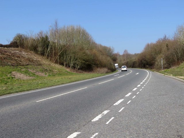
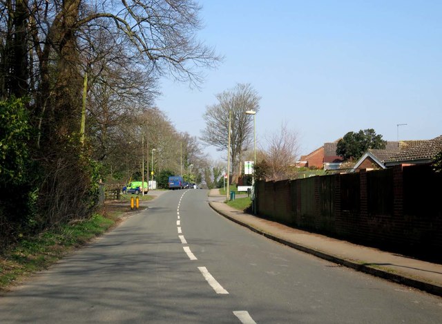
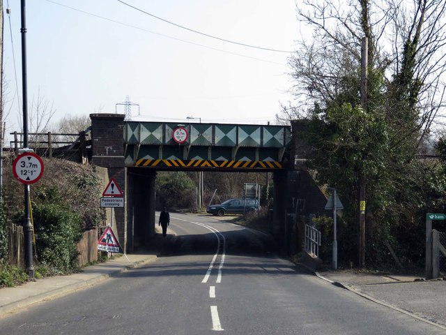
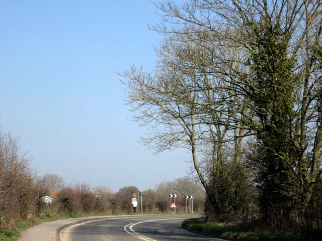
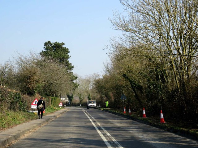
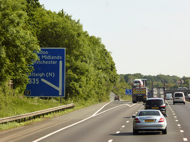
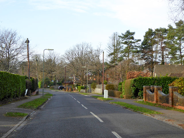
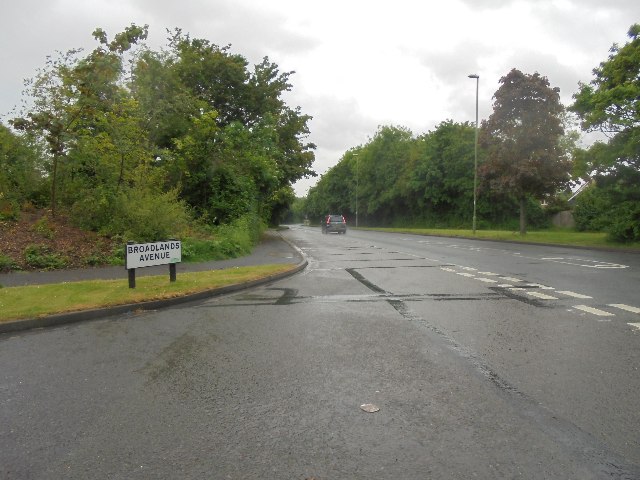
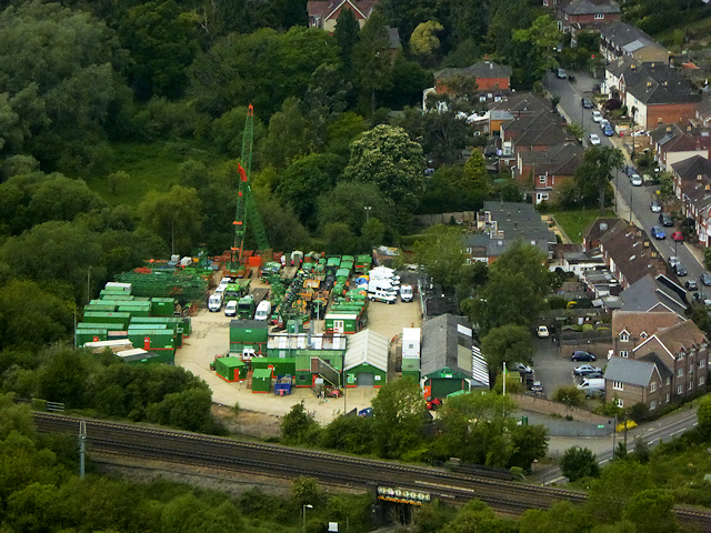
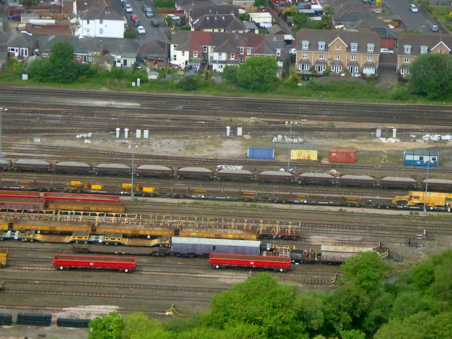
Boyatt Wood Images

Images are sourced within 2km of 50.981228/-1.3618548 or Grid Reference SU4420. Thanks to Geograph Open Source API. All images are credited.

Chandler's Ford railway station, Hampshire Opened in 1847 on the London & South Western Railway's line from Eastleigh to Romsey, this station closed in 1969. It was rebuilt and reopened in 2003.
View north west towards Romsey. The original station's main building was to the right of the line, rather than the left. The disused eastbound platform can also be seen on the right.
Chandler's Ford railway station, Hampshire
Opened in 1847 on the London & South Western Railway's line from Eastleigh to Romsey, this station closed in 1969. It was rebuilt and reopened in 2003. View north west towards Romsey. The original station's main building was to the right of the line, rather than the left. The disused eastbound platform can also be seen on the right.
Allbrook Way heading to the M3
Church Road on Burrow Hill
Railway bridge over Highbridge Road
Highbridge Road to Twyford
Northbound M3, Exit at Junction 12 The M3 motorway runs for 59 miles from Sunbury-on-Thames to Southampton. Construction started 1968 and was finally completed in 1995. The Winchester bypass through Twyford Downs was the most controversial section to be built.
Wikipedia: <span class="nowrap"><a title="http://en.wikipedia.org/wiki/M3_motorway_(Great_Britain)" rel="nofollow ugc noopener" href="http://en.wikipedia.org/wiki/M3_motorway_(Great_Britain)">Link</a><img style="margin-left:2px;" alt="External link" title="External link - shift click to open in new window" src="https://s1.geograph.org.uk/img/external.png" width="10" height="10"/></span>
Northbound M3, Exit at Junction 12
The M3 motorway runs for 59 miles from Sunbury-on-Thames to Southampton. Construction started 1968 and was finally completed in 1995. The Winchester bypass through Twyford Downs was the most controversial section to be built. Wikipedia: LinkExternal link
Midhurst Court, Chandler's Ford A little infilling development.
Midhurst Court, Chandler's Ford
A little infilling development.
Valley Road, Chandler's Ford Looking west.
Valley Road, Chandler's Ford
Looking west.
Kingsway in Chandlers Ford Looking southward.
Kingsway in Chandlers Ford
Looking southward.
The Church of St Edward the Confessor at Chandlers Ford Viewed from the east.
The Church of St Edward the Confessor at Chandlers Ford
Viewed from the east.
Damp conditions - Woodside Avenue
Hampshire Music Services car park This excellent service occupies the site of a former junior school.
Hampshire Music Services car park
This excellent service occupies the site of a former junior school.
Ordnance Survey Flush Bracket G5239 This bracket can be found on the wall of Chandlers Ford Infant School.
For more detail see : <span class="nowrap"><a title="http://www.bench-marks.org.uk/bm12939" rel="nofollow ugc noopener" href="http://www.bench-marks.org.uk/bm12939">Link</a><img style="margin-left:2px;" alt="External link" title="External link - shift click to open in new window" src="https://s1.geograph.org.uk/img/external.png" width="10" height="10"/></span>
Ordnance Survey Flush Bracket G5239
This bracket can be found on the wall of Chandlers Ford Infant School. For more detail see : LinkExternal link
Ordnance Survey Flush Bracket 2790 This can be found on the wall of a house -private flats - in Winchester Road, Chandlers Ford.
For more detail see : <span class="nowrap"><a title="http://www.bench-marks.org.uk/bm10491" rel="nofollow ugc noopener" href="http://www.bench-marks.org.uk/bm10491">Link</a><img style="margin-left:2px;" alt="External link" title="External link - shift click to open in new window" src="https://s1.geograph.org.uk/img/external.png" width="10" height="10"/></span>
Ordnance Survey Flush Bracket 2790
This can be found on the wall of a house -private flats - in Winchester Road, Chandlers Ford. For more detail see : LinkExternal link
Allbrook Park Premises of BAM Nutall civic engineering contractors. taken on the descent towards Southampton Airport.
Allbrook Park
Premises of BAM Nutall civic engineering contractors. taken on the descent towards Southampton Airport.
Railway Sidings North of Eastleigh Taken on the descent to Southampton Airport.
Railway Sidings North of Eastleigh
Taken on the descent to Southampton Airport.
Nail Look, Chandler's Ford Nail salon at 1 Bournemouth Road.
Nail Look, Chandler's Ford
Nail salon at 1 Bournemouth Road.
Show me another place!

Boyatt Wood is located at Grid Ref: SU4420 (Lat: 50.981228, Lng: -1.3618548)

Administrative County: Hampshire

District: Eastleigh

Police Authority: Hampshire

What 3 Words

///penny.outer.quiz. Near Eastleigh, Hampshire

Related Wikis

Allbrook

Allbrook is a settlement and civil parish in the Borough of Eastleigh in Hampshire, England. == Governance == Before 1974 the area formed part of the municipal...

Boyatt Wood

Boyatt Wood is a small residential area and civil parish north-west of Eastleigh in Hampshire named locally after the wooded area to the south of Boyatt...

Crestwood Community School

Crestwood Community School (known as Crestwood College prior to its name change in August 2017) is a coeducational secondary school, located in Eastleigh...

Toynbee School

Toynbee School is an 11-16 (no sixth form) secondary school in Chandler's Ford, Hampshire. The head teacher is Matthew Longden. == History == Toynbee School...

Nearby Amenities

Located within 500m of 50.981228,-1.3618548
Crossing
Bicycle: yes
Crossing: unmarked
Crossing Markings: no
Kerb: lowered
Lat/Long: 50.9819919/-1.3604395
Crossing
Bicycle: yes
Crossing: unmarked
Crossing Markings: no
Kerb: lowered
Lat/Long: 50.981329/-1.3563617
Crossing
Lat/Long: 50.9776902/-1.3612392
Crossing
Bicycle: yes
Crossing Island: yes
Kerb: lowered
Lat/Long: 50.9792697/-1.3629336
Crossing
Bicycle: yes
Crossing Island: yes
Kerb: lowered
Lat/Long: 50.9792092/-1.3629689
Post Box
Collection Plate: CP1
Collection Times: Mo-Fr 17:15; Sa 11:45
Operator: Royal Mail
Operator Wikidata: Q638098
Post Box Type: pillar
Ref: SO50 599
Royal Cypher: EIIR
Royal Cypher Wikidata: Q33102113
Lat/Long: 50.9834649/-1.3600891
Bus Stop
Crestwood Community School
Bus: yes
Naptan AtcoCode: 1900HA030137
Naptan Bearing: SW
Naptan CommonName: Crestwood Community School
Naptan Crossing: Launceston Drive
Naptan NaptanCode: hamdadwg
Naptan Street: Woodside Avenue
Naptan Verified: no
Public Transport: platform
Source: naptan_import
Lat/Long: 50.9796241/-1.3623515
Bus Stop
Crestwood Community School
Bus: yes
Naptan AtcoCode: 1900HA030138
Naptan Bearing: NE
Naptan CommonName: Crestwood Community School
Naptan Crossing: Launceston Drive
Naptan NaptanCode: hamdadwd
Naptan Street: Woodside Avenue
Naptan Verified: no
Public Transport: platform
Source: naptan_import
Lat/Long: 50.9796788/-1.362479
Bus Stop
Broadlands Avenue South
Bus: yes
Naptan AtcoCode: 1900HA030146
Naptan Bearing: SW
Naptan CommonName: Broadlands Avenue South
Naptan Crossing: Broadlands Avenue
Naptan NaptanCode: hamdagjp
Naptan Street: Woodside Avenue
Naptan Verified: no
Public Transport: platform
Source: naptan_import
Lat/Long: 50.9827406/-1.3583484
Bus Stop
Bosville
Bus: yes
Naptan AtcoCode: 1900HA030147
Naptan Bearing: NE
Naptan CommonName: Bosville
Naptan Crossing: Bosville
Naptan NaptanCode: hamdagdw
Naptan Street: Woodside Avenue
Naptan Verified: no
Public Transport: platform
Source: naptan_import
Lat/Long: 50.9822352/-1.3596518
Bus Stop
Royston Avenue
Bus: yes
Naptan AtcoCode: 1900HA030152
Naptan Bearing: E
Naptan CommonName: Royston Avenue
Naptan Crossing: Royston Avenue
Naptan NaptanCode: hamdagpm
Naptan Street: Broadlands Avenue
Naptan Verified: no
Public Transport: platform
Source: naptan_import
Lat/Long: 50.9813597/-1.3558032
Bus Stop
Royston Avenue
Bus: yes
Naptan AtcoCode: 1900HA030153
Naptan Bearing: NW
Naptan CommonName: Royston Avenue
Naptan Crossing: Lydiard Close
Naptan NaptanCode: hamdagmj
Naptan Street: Broadlands Avenue
Naptan Verified: no
Public Transport: platform
Source: naptan_import
Lat/Long: 50.9814646/-1.3568844
Bus Stop
Thorn Close
Bus: yes
Naptan AtcoCode: 1900HA030154
Naptan Bearing: W
Naptan BusStopType: CUS
Naptan CommonName: Thorn Close
Naptan Crossing: Thorn Close
Naptan NaptanCode: hamdagpd
Naptan Street: St Catherine's Road
Naptan Verified: no
Public Transport: platform
Source: naptan_import
Lat/Long: 50.9796076/-1.3560411
Bus Stop
Thorn Close
Bus: yes
Naptan AtcoCode: 1900HA030155
Naptan Bearing: SE
Naptan CommonName: Thorn Close
Naptan Crossing: Thorn Close
Naptan NaptanCode: hamdagtd
Naptan Street: St Catherines Road
Naptan Verified: no
Public Transport: platform
Source: naptan_import
Lat/Long: 50.9795064/-1.3556437
Bus Stop
The Arrow Ph
Bus: yes
Naptan AtcoCode: 1900HA030168
Naptan Bearing: SE
Naptan CommonName: The Arrow Ph
Naptan Crossing: Whyteways
Naptan NaptanCode: hamdagam
Naptan Street: Shakespeare Road
Naptan Verified: no
Public Transport: platform
Source: naptan_import
Lat/Long: 50.9775736/-1.3606702
Bus Stop
The Arrow Ph
Bus: yes
Naptan AtcoCode: 1900HA030169
Naptan Bearing: NW
Naptan CommonName: The Arrow Ph
Naptan Crossing: Whyteways
Naptan NaptanCode: hamdagaj
Naptan Street: Shakespeare Road
Naptan Verified: no
Public Transport: platform
Source: naptan_import
Lat/Long: 50.9775112/-1.3607708
Power: tower
Ref: 4YC 35
Source: bing
Source Ref: extrapolation
Lat/Long: 50.9841731/-1.3638384
Power: tower
Ref: 4YC 34
Source: bing
Source Ref: extrapolation
Lat/Long: 50.9813451/-1.3664764
Crossing
Crossing: uncontrolled
Lat/Long: 50.9782024/-1.3615045
Shop: hairdresser
Lat/Long: 50.9777488/-1.3598587
The Co-operative Food
Addr City: Eastleigh
Addr Housename: Boyatt Wood Centre
Addr Postcode: SO50 4QP
Addr Street: Shakespeare Road
Addr Unit: Unit 6-8
Branch: Boyatt Wood
Brand: The Co-operative Food
Brand Wikidata: Q107617274
Check Date Opening Hours: 2023-09-08
Fhrs Id: 133842
Opening Hours: Mo-Su 07:00-22:00
Operator: The Southern Co-operative
Operator Wikidata: Q7569773
Shop: convenience
Website: https://stores.southern.coop/hampshire/eastleigh/6---8-the-parade.html
Lat/Long: 50.9776997/-1.3596868
Boyatt News
Addr City: Eastleigh
Addr Housename: Boyatt Wood Centre
Addr Postcode: SO50 4QP
Addr Street: Shakespeare Road
Addr Unit: Unit 1-2
Shop: newsagent
Lat/Long: 50.9777927/-1.360017
Bank
Lat/Long: 50.9776918/-1.3597532
Fast Food
Star Balti House
Addr City: Eastleigh
Addr Housename: Boyatt Wood Centre
Addr Postcode: SO50 4QP
Addr Street: Shakespeare Road
Addr Unit: Unit 9
Cuisine: indian
Fhrs Id: 133830
Opening Hours: 7 days a week including bank holidays 17:00 til late
Phone: +44 2380 652299
Website: http://www.starbaltihouse.co.uk/
Lat/Long: 50.9779975/-1.3602279
Betfred
Addr City: Eastleigh
Addr Street: Shakespeare Road
Brand: Betfred
Brand Wikidata: Q4897425
Brand Wikipedia: en:Betfred
Gambling: bookmaker
Shop: bookmaker
Lat/Long: 50.9778281/-1.3601538
Shop: laundry
Lat/Long: 50.9776491/-1.3595205
Shop: pet
Lat/Long: 50.9777741/-1.3599365
Fast Food
Top Chef
Addr City: Eastleigh
Addr Housename: Boyatt Wood Centre
Addr Postcode: SO50 4QP
Addr Street: Shakespeare Road
Addr Unit: Unit 10
Cuisine: fish_and_chips;chinese
Fhrs Id: 133832
Opening Hours: Mo-We 17:00-22:00; Th 12:00-13:30; 17:00-22:00. Open all bank holidays 17:00-22:00
Phone: +44 2380 641821
Lat/Long: 50.9780414/-1.3601797
Matt's Bakery
Shop: bakery
Lat/Long: 50.9775845/-1.3589029
Dentist
Healthcare: dentist
Lat/Long: 50.9778437/-1.360249
Crossing
Crossing: uncontrolled
Lat/Long: 50.9783095/-1.3614446
Barrier: kissing_gate
Lat/Long: 50.9781841/-1.3635411
Crossing
Crossing: traffic_signals
Crossing Ref: pelican
Kerb: lowered
Lat/Long: 50.9824085/-1.3591532
Bicycle Parking
Bicycle Parking: stands
Capacity: 6
Lat/Long: 50.9777764/-1.3601499
Post Box
Operator: Royal Mail
Operator Wikidata: Q638098
Post Box Type: pillar
Ref: SO50 645
Royal Cypher: EIIR
Royal Cypher Wikidata: Q33102113
Lat/Long: 50.9793815/-1.3631446
Post Office
Boyatt Wood Post Office
Addr City: Eastleigh
Addr Country: GB
Addr Postcode: SO50 4QP
Addr Street: Shakespeare Road
Brand: Post Office
Brand Wikidata: Q1783168
Opening Hours: Mo-Fr 08:30-17:30; Sa 08:30-12:30
Ref Pol Id: 5159
Website: https://www.postoffice.co.uk/branch-finder/178546x/boyatt-wood
Lat/Long: 50.9778067/-1.3600681
Post Box
Operator: Royal Mail
Operator Wikidata: Q638098
Post Box Type: pillar
Ref: SO50 578D
Royal Cypher: EIIR
Royal Cypher Wikidata: Q33102113
Lat/Long: 50.9812637/-1.3561919
Post Box
Collection Plate: CP8
Collection Times: Mo-Fr 17:30; Sa 11:45
Operator: Royal Mail
Operator Wikidata: Q638098
Post Box Type: pillar
Ref: SO50 577
Royal Cypher: EIIR
Royal Cypher Wikidata: Q33102113
Lat/Long: 50.9777603/-1.3601057
Crossing
Crossing Island: yes
Kerb: lowered
Lat/Long: 50.980657/-1.3614438
Traffic Signals
Traffic Signals Direction: backward
Lat/Long: 50.9824339/-1.359102
Traffic Signals
Traffic Signals Direction: forward
Lat/Long: 50.9823879/-1.3591925
Crossing
Bicycle: yes
Kerb: lowered
Lat/Long: 50.9778233/-1.3615091
Crossing
Bicycle: yes
Crossing: uncontrolled
Kerb: lowered
Lat/Long: 50.9807521/-1.3610175
Boyatt Wood
Place: suburb
Source: OS_OpenData_StreetView
Wikidata: Q4952242
Lat/Long: 50.9804732/-1.3588507
Addr City: Eastleigh
Addr Street: Shakespeare Road
Old Phone: +44 2380 615460
Removed Amenity: telephone
Lat/Long: 50.9778324/-1.3610096
Crossing
Crossing: uncontrolled
Lat/Long: 50.9785295/-1.3612547
Generator Method: photovoltaic
Generator Output Electricity: yes
Generator Source: solar
Generator Type: solar_photovoltaic_panel
Location: roof
Power: generator
Lat/Long: 50.984245/-1.3627875
Generator Method: photovoltaic
Generator Output Electricity: yes
Generator Source: solar
Generator Type: solar_photovoltaic_panel
Location: roof
Power: generator
Lat/Long: 50.984196/-1.3626239
Generator Method: photovoltaic
Generator Output Electricity: yes
Generator Source: solar
Generator Type: solar_photovoltaic_panel
Location: roof
Power: generator
Lat/Long: 50.9830478/-1.3567176
The data included in this document is from www.openstreetmap.org. The data is made available under ODbL.

Have you been to Boyatt Wood?

Leave your review of Boyatt Wood below (or comments, questions and feedback).