Black Plantation

Wood, Forest in Durham

England

Black Plantation

Sewage Works
Sewage Works Credit: David Robinson

Black Plantation, Durham (Wood, Forest) is a historic woodland located in Durham, England. Covering an area of approximately 30 acres, this plantation holds significant cultural and environmental value. The site is managed by the Durham Wildlife Trust, and its conservation status ensures the preservation of its natural beauty.

The woodland is characterized by its dense canopy of trees, predominantly consisting of oak, ash, and beech species. These towering trees provide a habitat for a diverse range of wildlife, including birds, insects, and small mammals. Visitors can often spot species such as woodpeckers, squirrels, and owls within the woodland's peaceful setting.

Black Plantation is home to a variety of native flora, with bluebells, foxgloves, and wild garlic carpeting the forest floor during springtime. This creates a picturesque scene and attracts nature enthusiasts, photographers, and walkers alike. The plantation also boasts a network of well-maintained footpaths, allowing visitors to explore and appreciate the tranquil surroundings.

The historical significance of Black Plantation adds another layer of intrigue to the site. Dating back to the 18th century, it was originally part of the Durham Castle estate. The woodland was used as a source of timber for the castle's construction and maintenance. Today, remnants of this history can be found in the form of old boundary walls and stone structures, providing glimpses into the past.

Black Plantation, Durham (Wood, Forest) is a cherished natural gem, offering a serene escape from the bustling city life. Its rich biodiversity, cultural heritage, and accessibility make it a popular destination for nature lovers and history enthusiasts alike.

If you have any feedback on the listing, please let us know in the comments section below.

Black Plantation Images

Images are sourced within 2km of 54.773459/-1.3119206 or Grid Reference NZ4442. Thanks to Geograph Open Source API. All images are credited.

Sewage Works
Sewage Works
Easington Colliery Timeline The path to the Pit Cage Monument <a href="https://www.geograph.org.uk/photo/7156716">NZ4344 : The Pit Cage Monument, Easington Colliery</a> is lined with bronze plaques which record significant events in the history of Easington Colliery which opened in 1899 and closed in 1953.
Easington Colliery Timeline
The path to the Pit Cage Monument NZ4344 : The Pit Cage Monument, Easington Colliery is lined with bronze plaques which record significant events in the history of Easington Colliery which opened in 1899 and closed in 1953.
Byron Street, Easington Colliery Two houses displaying individual taste but to the detriment of the street scene
Byron Street, Easington Colliery
Two houses displaying individual taste but to the detriment of the street scene
Train at Horden train station A northern (Northern Trains Limited) class 156 train at Horden train station
Train at Horden train station
A northern (Northern Trains Limited) class 156 train at Horden train station
Cliff Top View at Fox Holes Part of the Durham Coast National Nature Reserve.
Cliff Top View at Fox Holes
Part of the Durham Coast National Nature Reserve.
Wild Flowers by the Coast Path At Fox Holes Dene a stream has cut a deep chine through the cliffs so the coast path has to make a detour of around 1km to cover less than 200m of coastline. It's a pleasant wooded walk though, very different from the clifftop scenery.
The flowers look like sweet peas and willow herb.
Wild Flowers by the Coast Path
At Fox Holes Dene a stream has cut a deep chine through the cliffs so the coast path has to make a detour of around 1km to cover less than 200m of coastline. It's a pleasant wooded walk though, very different from the clifftop scenery. The flowers look like sweet peas and willow herb.
Coast Path Waymark Just south of the big detour around Fox Holes Dene.
Coast Path Waymark
Just south of the big detour around Fox Holes Dene.
Byron (or Ascot?) Street The map calls it Byron Street. Other contributors call it Byron Street. But there is definitely a street name sign on the end house calling it Ascot Street.
Why would that be? 
It's a very distinctive terrace anyway.
Byron (or Ascot?) Street
The map calls it Byron Street. Other contributors call it Byron Street. But there is definitely a street name sign on the end house calling it Ascot Street. Why would that be? It's a very distinctive terrace anyway.
Station Road, Easington Colliery The main road through the village. The station, like the colliery, is no longer there.
Station Road, Easington Colliery
The main road through the village. The station, like the colliery, is no longer there.
A Low Black Cliff When there were coal mines working nearby they would dump old waste mining rubble onto the beaches along this bit of coast.
Old pictures show it covering a large area but a lot of it has been cleared or washed away. Some still remains and makes a line of low cliffs around a metre high which collapse into the sea at intervals. Large lumps of coal can still be found in the mixture.
A Low Black Cliff
When there were coal mines working nearby they would dump old waste mining rubble onto the beaches along this bit of coast. Old pictures show it covering a large area but a lot of it has been cleared or washed away. Some still remains and makes a line of low cliffs around a metre high which collapse into the sea at intervals. Large lumps of coal can still be found in the mixture.
Mining Waste by the Sea Looking back inland from the edge of the  area shown here <a href="https://www.geograph.org.uk/photo/7273671">NZ4442 : A Low Black Cliff</a> where coal mining debris was dumped onto the beach. Much of it is still bare and inhospitable and naturalists are watching with interest to see what types of plant will gradually start growing here.
Mining Waste by the Sea
Looking back inland from the edge of the area shown here NZ4442 : A Low Black Cliff where coal mining debris was dumped onto the beach. Much of it is still bare and inhospitable and naturalists are watching with interest to see what types of plant will gradually start growing here.
Mine Water Treatment Pond As has been found in many former mining districts, you can't just close a deep mine and forget about it. Once the pumps that drained the workings are turned off, groundwater comes back in and gets polluted. 
The limestone aquifer here supplies clean water to a large area and cannot be allowed to become contaminated.
These ponds contain polluted mine water and are part of the cleaning up process.
Mine Water Treatment Pond
As has been found in many former mining districts, you can't just close a deep mine and forget about it. Once the pumps that drained the workings are turned off, groundwater comes back in and gets polluted. The limestone aquifer here supplies clean water to a large area and cannot be allowed to become contaminated. These ponds contain polluted mine water and are part of the cleaning up process.
Treatment Pond for Mine Water Another picture of one of the ponds which are part of the treatment process for polluted water from a former coal mine.
Treatment Pond for Mine Water
Another picture of one of the ponds which are part of the treatment process for polluted water from a former coal mine.
Explaining the Treatment Ponds An information panel by the ponds where polluted water coming from an old coal mine is treated.
Explaining the Treatment Ponds
An information panel by the ponds where polluted water coming from an old coal mine is treated.
Stone Wall and Seat A stone built windbreak and bench facing out to sea along the coast path.
Stone Wall and Seat
A stone built windbreak and bench facing out to sea along the coast path.
Camp Street, Easington Colliery Terraced housing on the slope down towards the coast.
Camp Street, Easington Colliery
Terraced housing on the slope down towards the coast.
Easington Local Nature Reserve A landscaped area formerly occupied by a coal mine. One of the mine shafts is in a fenced enclosure beyond the small black notice near the centre of the picture.
The panel tells you about the transformation.
Easington Local Nature Reserve
A landscaped area formerly occupied by a coal mine. One of the mine shafts is in a fenced enclosure beyond the small black notice near the centre of the picture. The panel tells you about the transformation.
Signpost to the Coast Path One of the places where the coast path can be accessed from a parking area. The path is a short walk over a landscaped open space which was previously the site of a coal mine.
Signpost to the Coast Path
One of the places where the coast path can be accessed from a parking area. The path is a short walk over a landscaped open space which was previously the site of a coal mine.
Show me another place!

Black Plantation is located at Grid Ref: NZ4442 (Lat: 54.773459, Lng: -1.3119206)

Unitary Authority: County Durham

Police Authority: Durham

What 3 Words

///smiles.layers.envy. Near Easington Colliery, Co. Durham

Related Wikis

Horden Colliery

Horden Colliery was a coal mine situated in Horden, near Peterlee in County Durham. == History == It opened in 1900 and was closed on 28 February 1987...

Yoden Village Quarry

Yoden Village Quarry is a Site of Special Scientific Interest in the Easington district of east County Durham, England. It is a disused quarry in the Horden...

Darlington Town F.C.

Darlington Town is a football club based in Darlington, in County Durham, England. The club was formed in 2018, taking the place in the Wearside League...

Horden Community Welfare F.C.

Horden Community Welfare Football Club is a football club based in Horden, County Durham, England. The club was formed as Horden Athletic in 1907, changing...

Horden

Horden is a village and electoral ward in County Durham, England. It is situated on the North Sea coast, to the east of Peterlee, approximately 12 miles...

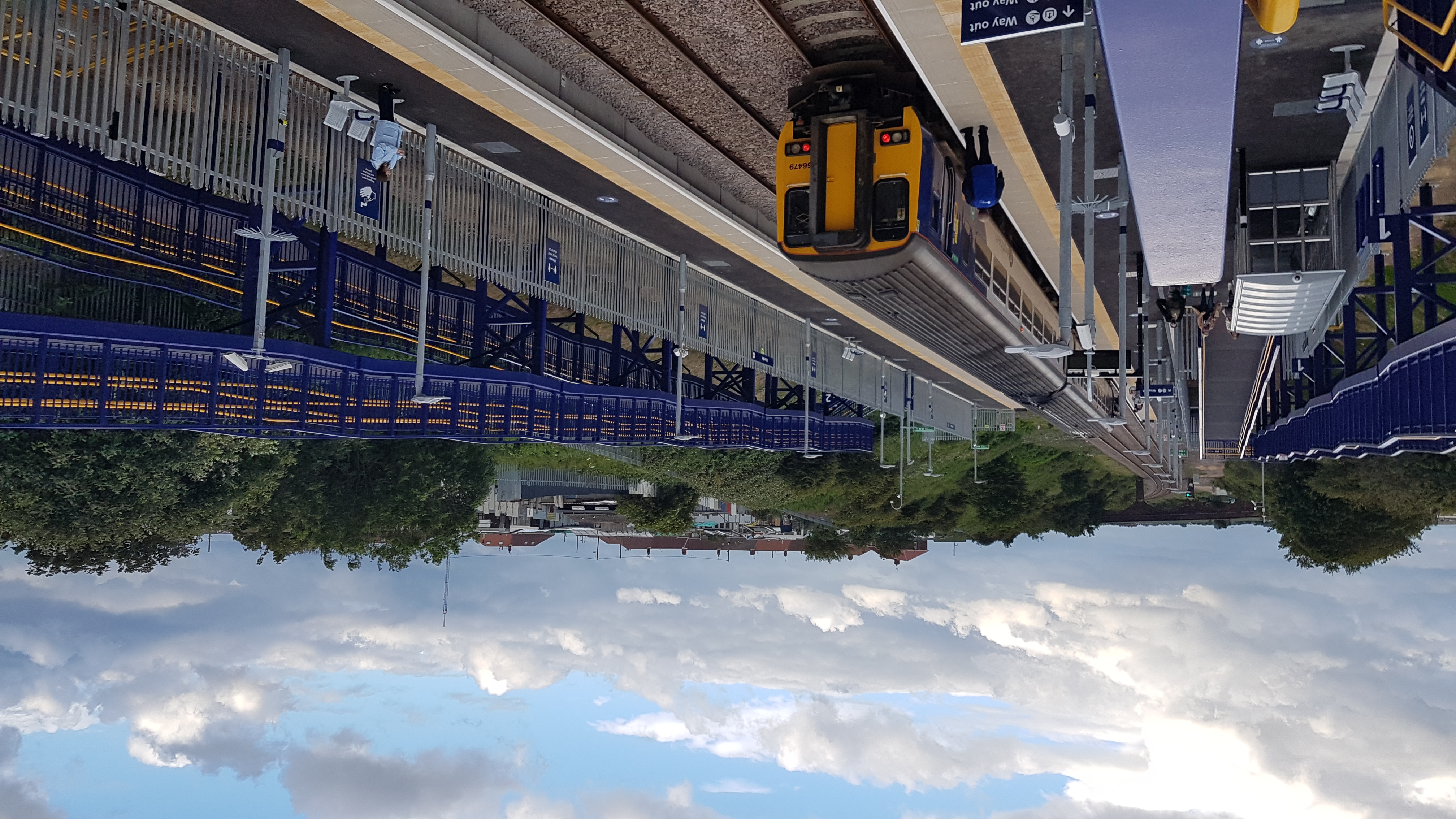
Horden railway station

Horden (also known as Horden Peterlee during the planning stage) is a railway station on the Durham Coast Line, which runs between Newcastle and Middlesbrough...

Peterlee Town F.C.

Peterlee Town F.C. is an football club from Peterlee, England. They currently do not have a senior team, but maintain several youth teams. == History... ==

Easington railway station

Easington railway station served the town of Easington Colliery and Easington Village in County Durham, North East England. It was located on the Durham...

Nearby Amenities

Located within 500m of 54.773459,-1.3119206
Generator Source: solar
Location: roof
Power: generator
Lat/Long: 54.7701753/-1.316691
Horden Colliery
Historic: mine
Resource: coal
Website: http://www.dmm.org.uk/colliery/h012.htm
Lat/Long: 54.7699958/-1.3140518
The data included in this document is from www.openstreetmap.org. The data is made available under ODbL.

Have you been to Black Plantation?

Leave your review of Black Plantation below (or comments, questions and feedback).