Bessy Wood
Wood, Forest in Yorkshire Harrogate
England
Bessy Wood

Bessy Wood is a picturesque forest located in the county of Yorkshire, England. Situated near the village of Wood, it is known for its abundant natural beauty and serene atmosphere. Covering an area of approximately 500 acres, Bessy Wood is a haven for wildlife and offers visitors a chance to immerse themselves in the tranquility of nature.
The forest is primarily composed of broadleaf trees, including oak, birch, and beech, which provide a dense canopy that filters sunlight and creates a cool and shaded environment. The forest floor is carpeted with a variety of flora, such as bluebells, wild garlic, and ferns, adding to the enchanting ambiance of the area.
Bessy Wood is home to a diverse range of wildlife, making it a popular destination for nature enthusiasts and birdwatchers. Visitors can spot a wide array of bird species, including woodpeckers, owls, and songbirds, as well as mammals like deer, foxes, and squirrels. The forest also supports a rich insect population, with butterflies and dragonflies fluttering amidst the foliage.
The forest offers several walking trails that allow visitors to explore its beauty at their own pace. These trails wind through the woods, providing opportunities to encounter the resident wildlife and soak in the peaceful surroundings. In addition to walking, Bessy Wood is also a great spot for picnicking, photography, and simply enjoying the serenity of the natural environment.
Overall, Bessy Wood in Yorkshire is a captivating forest that offers a delightful escape from the hustle and bustle of everyday life. With its diverse flora and fauna, it provides a unique experience for those seeking solace in nature's embrace.
If you have any feedback on the listing, please let us know in the comments section below.
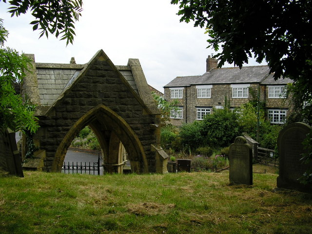
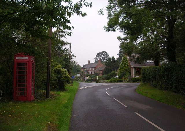
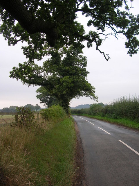
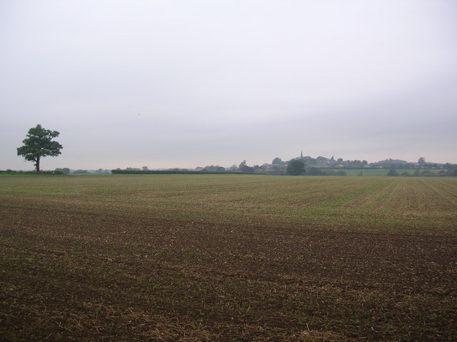
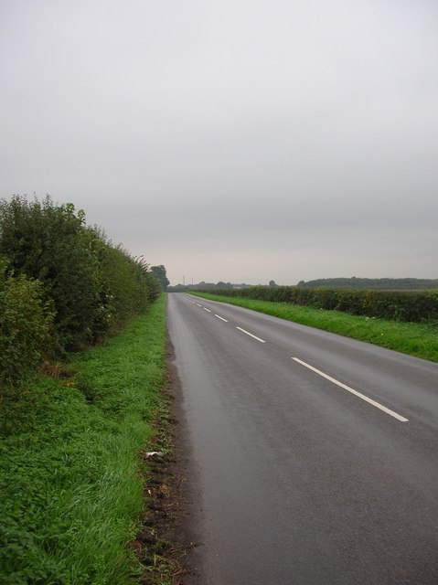
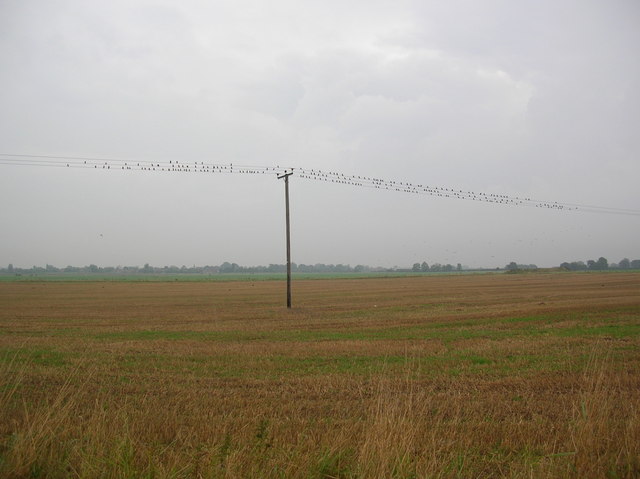
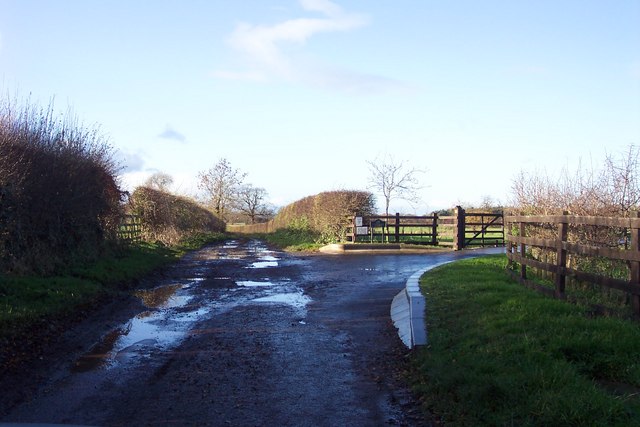
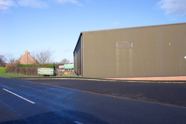
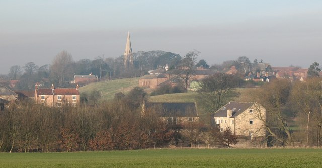
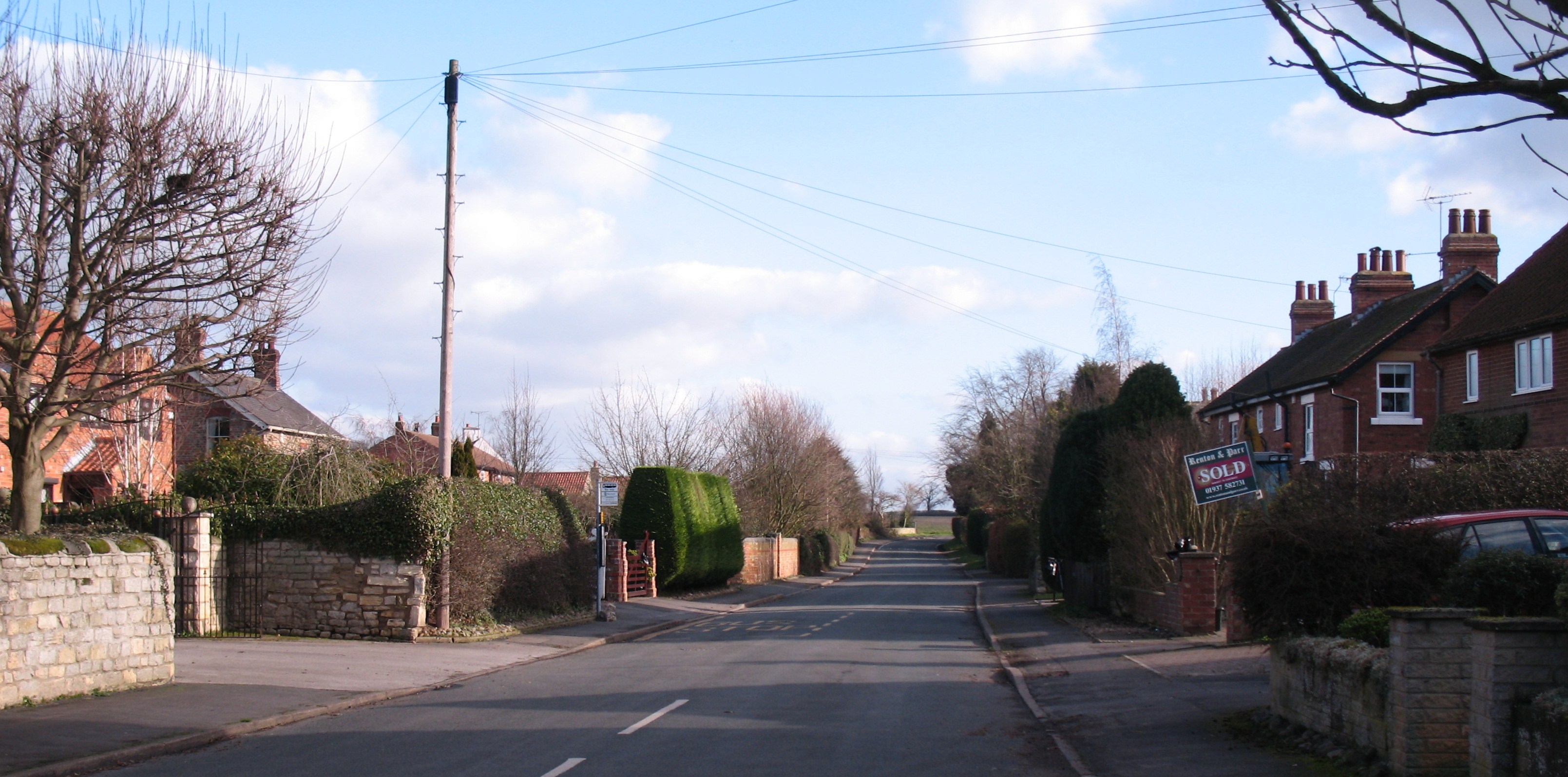
Bessy Wood Images
Images are sourced within 2km of 53.96555/-1.3253216 or Grid Reference SE4452. Thanks to Geograph Open Source API. All images are credited.


Bessy Wood is located at Grid Ref: SE4452 (Lat: 53.96555, Lng: -1.3253216)
Division: West Riding
Administrative County: North Yorkshire
District: Harrogate
Police Authority: North Yorkshire
What 3 Words
///transmitted.revamped.tequila. Near Walton, West Yorkshire
Nearby Locations
Related Wikis

RAF Marston Moor
RAF Marston Moor was a Royal Air Force airfield at Tockwith, North Yorkshire, during the Second World War. It was originally called RAF Tockwith, but...

Cowthorpe
Cowthorpe is a village in the civil parish of Tockwith, in North Yorkshire, England. It is situated 3 miles (4.8 km) north of Wetherby, 10 miles (16 km...
St Michael's Church, Cowthorpe
St Michael's Church is a redundant church in the village of Cowthorpe, North Yorkshire, England. It is recorded in the National Heritage List for England...
Hunsingore
Hunsingore is a village and civil parish in the Harrogate district of North Yorkshire, England. It is situated near the River Nidd and the A1(M) motorway...
Bickerton, North Yorkshire
Bickerton is a village on the B1224 road, in the civil parish of Bilton-in-Ainsty with Bickerton, in North Yorkshire, England. The nearest town is Wetherby...
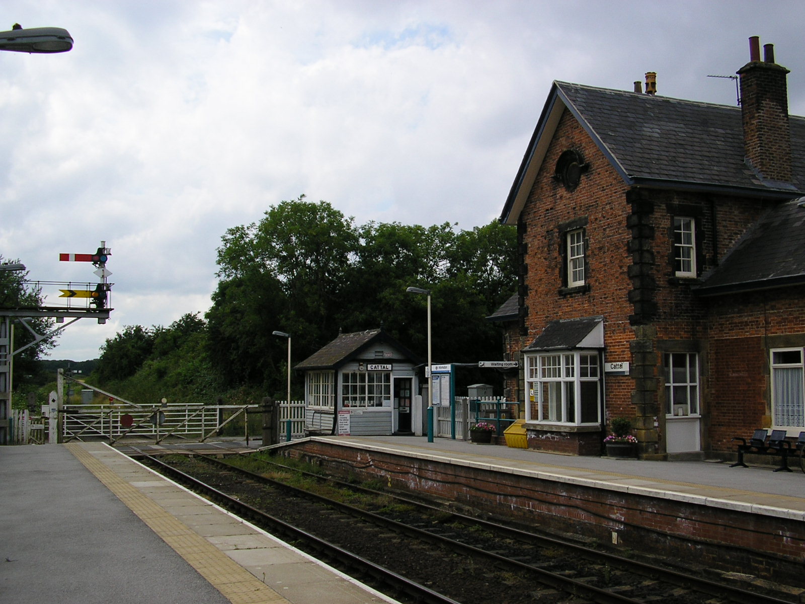
Cattal
Cattal is a village and civil parish in the Borough of Harrogate district of North Yorkshire, England, about 6 miles (9.7 km) east of Knaresborough, and...
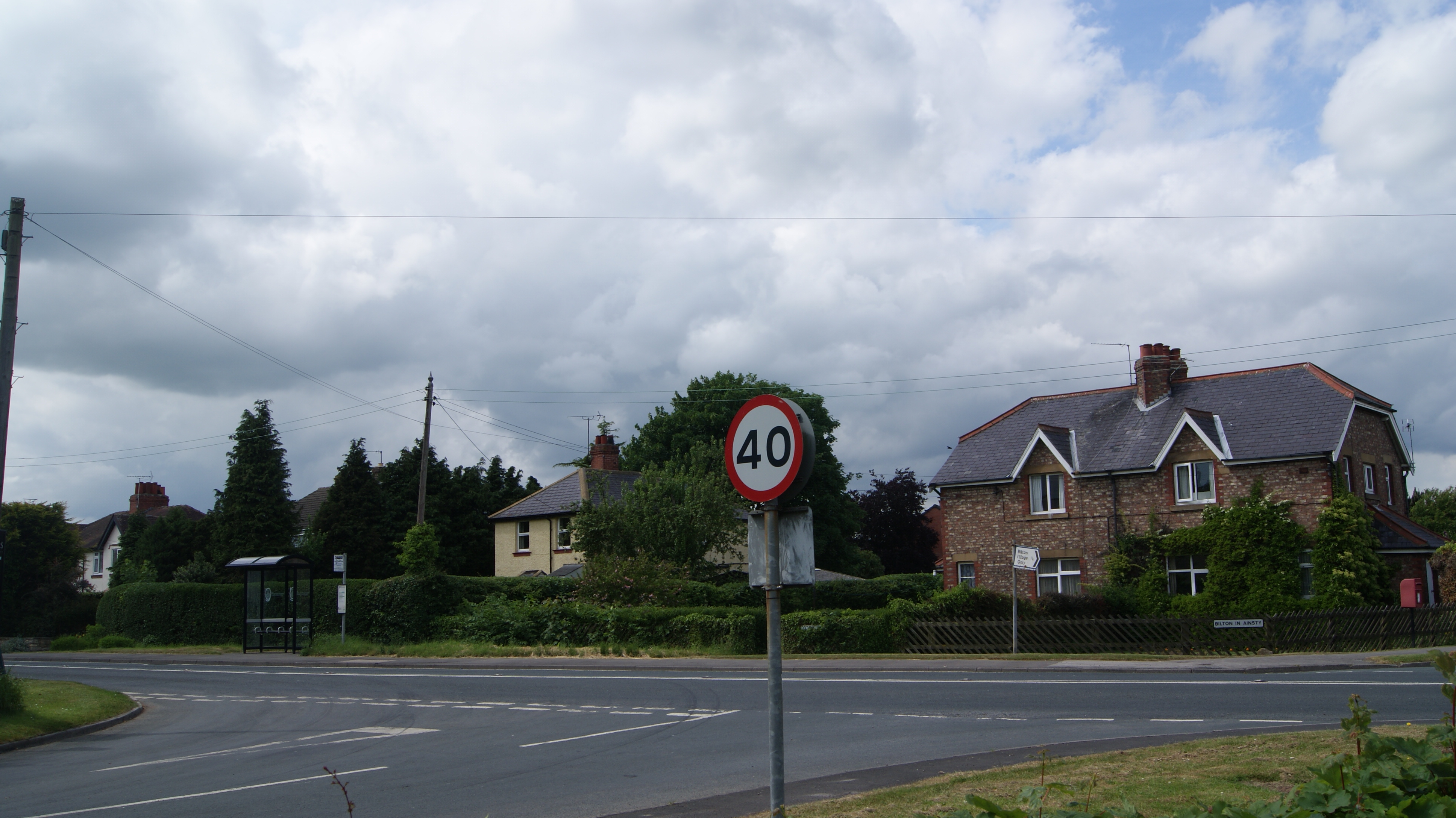
Bilton-in-Ainsty with Bickerton
Bilton-in-Ainsty with Bickerton is a civil parish in the Harrogate district of North Yorkshire, England. According to the 2001 census it had a population...
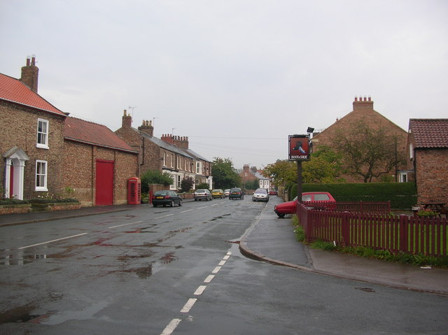
Tockwith
Tockwith is a village and civil parish in the Harrogate district of North Yorkshire, England, near the town of Wetherby and the city of York. There has...
Nearby Amenities
Located within 500m of 53.96555,-1.3253216Have you been to Bessy Wood?
Leave your review of Bessy Wood below (or comments, questions and feedback).