Birley Wood

Wood, Forest in Derbyshire North East Derbyshire

England

Birley Wood

A6135 Station Road near Renishaw Hall
A6135 Station Road near Renishaw Hall Credit: Colin Pyle

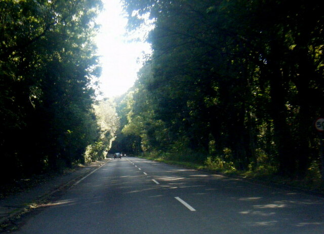
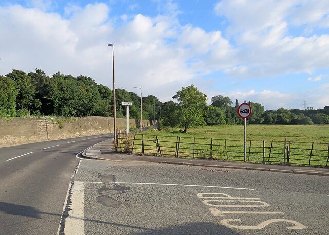
Birley Wood is a picturesque woodland located in Derbyshire, England. Covering an area of approximately 100 acres, it is nestled within the stunning landscape of the Peak District National Park. The woodland is renowned for its natural beauty and provides a haven for a diverse range of flora and fauna.

The wood is predominantly composed of native broadleaf trees, including oak, beech, and birch, which create a vibrant and lush canopy during the summer months. These trees also provide a vital habitat for numerous bird species, such as woodpeckers, owls, and thrushes, making it a popular spot for birdwatching enthusiasts.

Walking through Birley Wood, visitors are greeted by a carpet of wildflowers, including bluebells, primroses, and foxgloves, which add bursts of color to the tranquil surroundings. The woodland also boasts a network of well-maintained footpaths, allowing visitors to explore its various sections and discover hidden gems along the way.

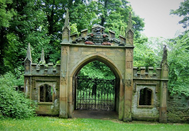
Birley Wood is not only a place of natural beauty but also holds historical significance. It is believed that the woodland has been in existence for centuries, and remnants of ancient settlements and burial mounds have been discovered within its boundaries.

For nature lovers, photographers, and those seeking a peaceful retreat, Birley Wood offers a serene and enchanting experience. Whether it is a leisurely stroll, a picnic amidst the trees, or simply immersing oneself in the sights and sounds of nature, Birley Wood is a true gem in the heart of Derbyshire.

If you have any feedback on the listing, please let us know in the comments section below.
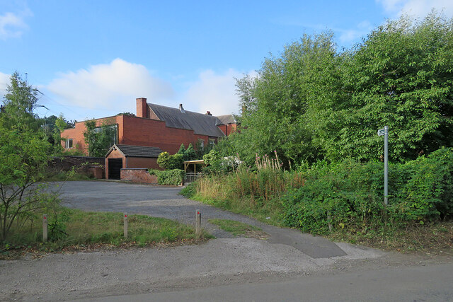
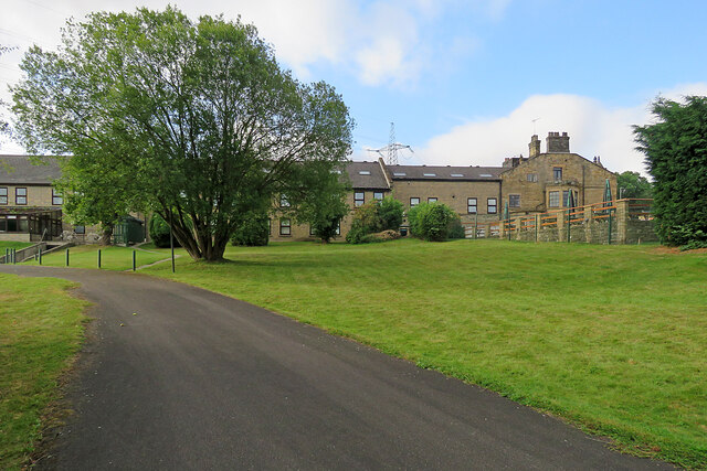
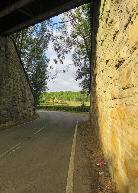
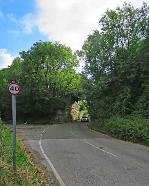
Birley Wood Images

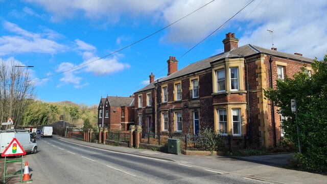
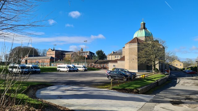
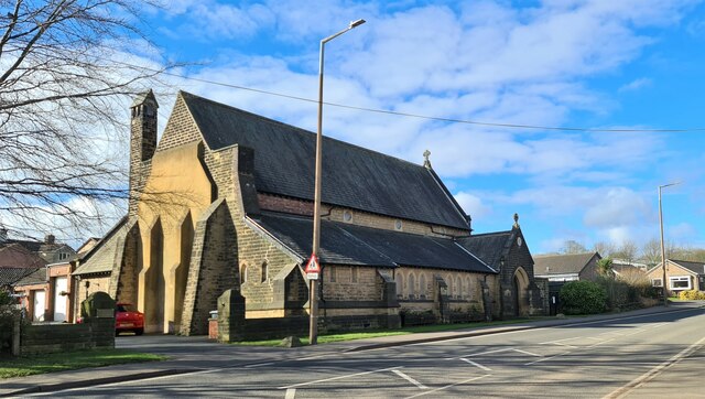
Images are sourced within 2km of 53.30542/-1.3358137 or Grid Reference SK4478. Thanks to Geograph Open Source API. All images are credited.

A6135 Station Road near Renishaw Hall
Renishaw Hall
Renishaw Hall
Pile driving equipment, Renishaw
Impeded path near Renishaw We didn't walk that way
Impeded path near Renishaw
We didn't walk that way
Old police station and Court House, Renishaw
Mount St Mary's College, Spinkhill
Gates to Park House, Spinkhill Look carefully and you'll see the Alsatian guard dog.
Gates to Park House, Spinkhill
Look carefully and you'll see the Alsatian guard dog.
Parish church of St Mathew, Renishaw
Just another fallen tree But look closely at the patterns up the trunk. Almost as though a tattoo artist had been at work, but it's caused by ivy.
Just another fallen tree
But look closely at the patterns up the trunk. Almost as though a tattoo artist had been at work, but it's caused by ivy.
Renishaw Hall Entrance The north facade of the hall
Renishaw Hall Entrance
The north facade of the hall
The Gothick Archway A former entrance lodge to Renishaw Hall, with the Sitwell Arms in the pediment
The Gothick Archway
A former entrance lodge to Renishaw Hall, with the Sitwell Arms in the pediment
Old Sawmill and Gothick Chimney On the Renishaw estate close to the lake
Old Sawmill and Gothick Chimney
On the Renishaw estate close to the lake
Renishaw: up Station Road The former police station and courtroom is on the left. Neither of the two Renishaw stations, built by the Midland Railway and the Great Central, now exists, and only the Midland line from Chesterfield to Rotherham is still in use.
Renishaw: up Station Road
The former police station and courtroom is on the left. Neither of the two Renishaw stations, built by the Midland Railway and the Great Central, now exists, and only the Midland line from Chesterfield to Rotherham is still in use.
Renishaw: an overgrown footpath The fingerpost on the right points along a short path which cuts the corner of Spinkhill Lane and Station Road - but the path is weed-choked and impassable. The red-brick building is the former police station shown in <a href="https://www.geograph.org.uk/photo/7261500">SK4478 : Renishaw: up Station Road</a>.
Renishaw: an overgrown footpath
The fingerpost on the right points along a short path which cuts the corner of Spinkhill Lane and Station Road - but the path is weed-choked and impassable. The red-brick building is the former police station shown in SK4478 : Renishaw: up Station Road.
Renishaw: behind The Sitwell Arms Hotel There is a large modern block of rooms behind the Victorian building which faces Station Road.
Renishaw: behind The Sitwell Arms Hotel
There is a large modern block of rooms behind the Victorian building which faces Station Road.
Renishaw: through the bridge on Spinkhill Lane The bridge once carried the Great Central main line from Sheffield Victoria to London Marylebone. It now carries a cycle track (shown in <a href="https://www.geograph.org.uk/photo/7261694">SK4478 : Renishaw: once a railway bridge</a>). The Yellow Machinery plant hire yard on Station Road shows in the distance.
Renishaw: through the bridge on Spinkhill Lane
The bridge once carried the Great Central main line from Sheffield Victoria to London Marylebone. It now carries a cycle track (shown in SK4478 : Renishaw: once a railway bridge). The Yellow Machinery plant hire yard on Station Road shows in the distance.
Renishaw: former railway bridge on Spinkhill Lane A 40mph limit seems generous as the bridge is narrow by modern standards and on an almost blind dogleg. The bridge once carried the Great Central main line from Sheffield Victoria (left) to London Marylebone via Nottingham Victoria and Leicester Central. It now carries a cycle track (shown in <a href="https://www.geograph.org.uk/photo/7261694">SK4478 : Renishaw: once a railway bridge</a>).
Renishaw: former railway bridge on Spinkhill Lane
A 40mph limit seems generous as the bridge is narrow by modern standards and on an almost blind dogleg. The bridge once carried the Great Central main line from Sheffield Victoria (left) to London Marylebone via Nottingham Victoria and Leicester Central. It now carries a cycle track (shown in SK4478 : Renishaw: once a railway bridge).
Renishaw: the corner of Spinkhill Lane The A6135 to Eckington and on to Sheffield is on the left, Spinkhill Lane on the right.
Renishaw: the corner of Spinkhill Lane
The A6135 to Eckington and on to Sheffield is on the left, Spinkhill Lane on the right.
Show me another place!

Birley Wood is located at Grid Ref: SK4478 (Lat: 53.30542, Lng: -1.3358137)

Administrative County: Derbyshire

District: North East Derbyshire

Police Authority: Derbyshire

What 3 Words

///chuckling.scowls.testing. Near Killamarsh, Derbyshire

Related Wikis

Renishaw, Derbyshire

Renishaw is a village in the district of North East Derbyshire in England. It is in the civil parish of Eckington.Renishaw lies on the A6135 road between...

Eckington and Renishaw railway station

Eckington and Renishaw railway station is a former railway station between Eckington and Renishaw in Derbyshire, England. == See also == Three stations...

Renishaw Central railway station

Renishaw Central is a former railway station in Renishaw, Derbyshire, England. From its opening the station was named Eckington and Renishaw, but it was...
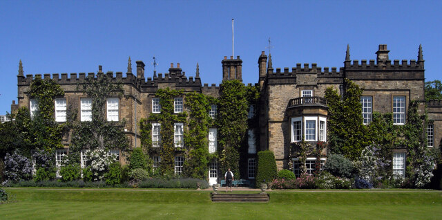
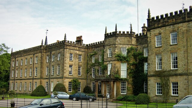
Renishaw Hall

Renishaw Hall is a country house in Renishaw in the parish of Eckington in Derbyshire, England. It is a Grade I listed building and has been the home of...

Eckington Mine

Eckington mine was a drift mine situated on the eastern edge of the township of Eckington, Derbyshire, England, 7 miles (11 km) South-West of Sheffield...

Church of the Immaculate Conception, Spinkhill

Immaculate Conception Church is a Roman Catholic Parish church in Spinkhill, Derbyshire, England. It was built in 1846 and designed by Joseph Hansom. It...

Spinkhill

Spinkhill is a small village in North East Derbyshire, England. It is approximately one mile south of the nearest town, Killamarsh, and half a mile north...

Mount St Mary's College

Mount St Mary's College is an independent, co-educational, day and boarding school situated at Spinkhill, Derbyshire, England. It was founded in 1842 by...

Nearby Amenities

Located within 500m of 53.30542,-1.3358137
Bench
Backrest: yes
Ele: 45.0672607
Lat/Long: 53.3037516/-1.3327165
Bench
Ele: 50.5947266
Lat/Long: 53.3089726/-1.3323388
Barrier: stile
Lat/Long: 53.3067298/-1.3386709
Barrier: stile
Steps: 1
Stile: stepover
Lat/Long: 53.3066638/-1.3390516
Barrier: kissing_gate
Lat/Long: 53.3064857/-1.3383107
Barrier: stile
Steps: 1
Stile: stepover
Lat/Long: 53.3058007/-1.3352103
Power: tower
Lat/Long: 53.3021823/-1.3311174
Power: tower
Lat/Long: 53.304612/-1.3320055
Power: tower
Lat/Long: 53.3077115/-1.3332069
Barrier: stile
Lat/Long: 53.3078333/-1.341058
Barrier: stile
Lat/Long: 53.3076178/-1.3403382
Bench
Backrest: yes
Lat/Long: 53.3040589/-1.3397063
Bench
Backrest: no
Lat/Long: 53.3030689/-1.331799
Eckington and Renishaw
Historic Railway: station
Railway: site
Wikidata: Q5332913
Wikipedia: en:Eckington and Renishaw railway station
Lat/Long: 53.3028714/-1.3380292
The data included in this document is from www.openstreetmap.org. The data is made available under ODbL.

Have you been to Birley Wood?

Leave your review of Birley Wood below (or comments, questions and feedback).