Willowbed Plantation

Wood, Forest in Derbyshire North East Derbyshire

England

Willowbed Plantation

A6135 Station Road near Renishaw Hall
A6135 Station Road near Renishaw Hall Credit: Colin Pyle

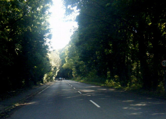
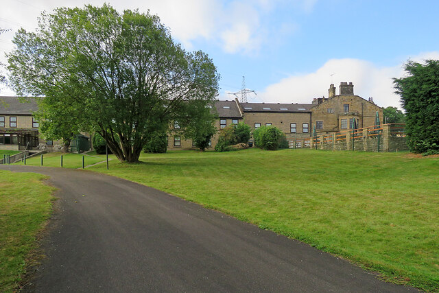
Willowbed Plantation is a picturesque woodland located in Derbyshire, England. Spanning over a vast area, it is a renowned destination for nature lovers and outdoor enthusiasts alike. The plantation is nestled in the heart of the county, surrounded by rolling hills and stunning landscapes.

The plantation is predominantly composed of deciduous trees, with willow trees being the most prominent. These trees, known for their slender branches and delicate leaves, give the plantation its name. The dense forest is also home to a variety of other tree species, including oak, beech, and birch, creating a rich and diverse ecosystem.

Walking through Willowbed Plantation is a truly enchanting experience. The forest floor is covered with a lush carpet of wildflowers and ferns, creating a vibrant tapestry of colors. The air is filled with the soothing sounds of chirping birds and rustling leaves, providing a peaceful and tranquil atmosphere.

The plantation is a haven for wildlife, attracting a wide range of animals. Visitors may catch a glimpse of deer, rabbits, and squirrels roaming freely in their natural habitat. Birdwatchers will also be delighted to spot various avian species, including woodpeckers, owls, and songbirds.

For those seeking outdoor activities, Willowbed Plantation offers several walking trails and picnic areas. These well-maintained paths wind through the woodland, allowing visitors to explore the plantation's hidden treasures at their own pace.

Overall, Willowbed Plantation is a true gem in Derbyshire, offering a serene escape from the hustle and bustle of everyday life. Its natural beauty and diverse wildlife make it a must-visit destination for nature enthusiasts and anyone looking to reconnect with the great outdoors.

If you have any feedback on the listing, please let us know in the comments section below.

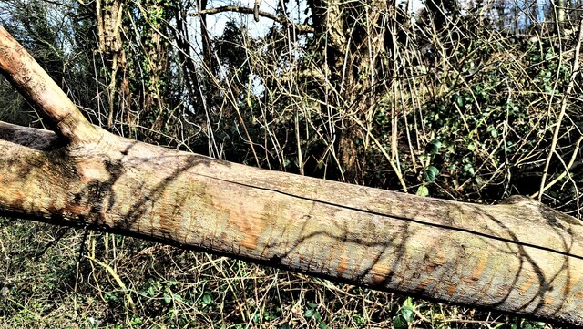
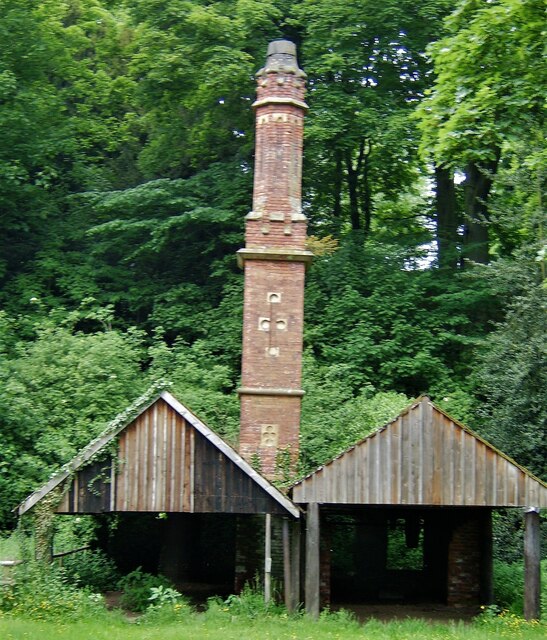
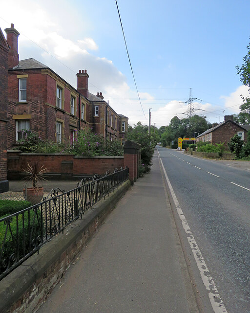
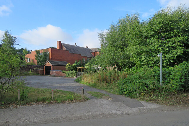
Willowbed Plantation Images

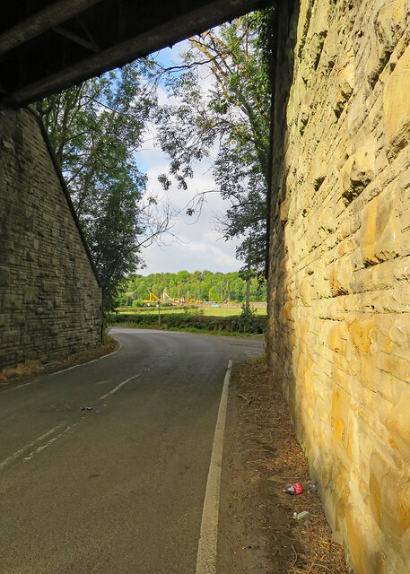
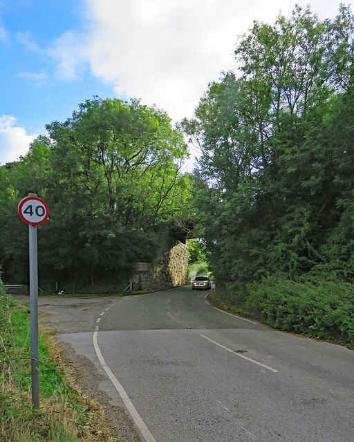
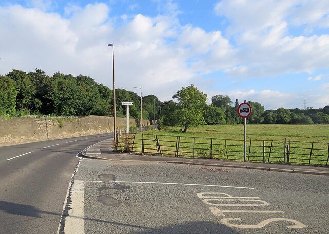
Images are sourced within 2km of 53.299447/-1.3397925 or Grid Reference SK4478. Thanks to Geograph Open Source API. All images are credited.

A6135 Station Road near Renishaw Hall
Renishaw Hall
Renishaw Hall
Pile driving equipment, Renishaw
Impeded path near Renishaw We didn't walk that way
Impeded path near Renishaw
We didn't walk that way
Old police station and Court House, Renishaw
Mount St Mary's College, Spinkhill
Parish church of St Mathew, Renishaw
Just another fallen tree But look closely at the patterns up the trunk. Almost as though a tattoo artist had been at work, but it's caused by ivy.
Just another fallen tree
But look closely at the patterns up the trunk. Almost as though a tattoo artist had been at work, but it's caused by ivy.
Renishaw Hall Entrance The north facade of the hall
Renishaw Hall Entrance
The north facade of the hall
The Gothick Archway A former entrance lodge to Renishaw Hall, with the Sitwell Arms in the pediment
The Gothick Archway
A former entrance lodge to Renishaw Hall, with the Sitwell Arms in the pediment
Old Sawmill and Gothick Chimney On the Renishaw estate close to the lake
Old Sawmill and Gothick Chimney
On the Renishaw estate close to the lake
Renishaw: up Station Road The former police station and courtroom is on the left. Neither of the two Renishaw stations, built by the Midland Railway and the Great Central, now exists, and only the Midland line from Chesterfield to Rotherham is still in use.
Renishaw: up Station Road
The former police station and courtroom is on the left. Neither of the two Renishaw stations, built by the Midland Railway and the Great Central, now exists, and only the Midland line from Chesterfield to Rotherham is still in use.
Renishaw: an overgrown footpath The fingerpost on the right points along a short path which cuts the corner of Spinkhill Lane and Station Road - but the path is weed-choked and impassable. The red-brick building is the former police station shown in <a href="https://www.geograph.org.uk/photo/7261500">SK4478 : Renishaw: up Station Road</a>.
Renishaw: an overgrown footpath
The fingerpost on the right points along a short path which cuts the corner of Spinkhill Lane and Station Road - but the path is weed-choked and impassable. The red-brick building is the former police station shown in SK4478 : Renishaw: up Station Road.
Renishaw: behind The Sitwell Arms Hotel There is a large modern block of rooms behind the Victorian building which faces Station Road.
Renishaw: behind The Sitwell Arms Hotel
There is a large modern block of rooms behind the Victorian building which faces Station Road.
Renishaw: through the bridge on Spinkhill Lane The bridge once carried the Great Central main line from Sheffield Victoria to London Marylebone. It now carries a cycle track (shown in <a href="https://www.geograph.org.uk/photo/7261694">SK4478 : Renishaw: once a railway bridge</a>). The Yellow Machinery plant hire yard on Station Road shows in the distance.
Renishaw: through the bridge on Spinkhill Lane
The bridge once carried the Great Central main line from Sheffield Victoria to London Marylebone. It now carries a cycle track (shown in SK4478 : Renishaw: once a railway bridge). The Yellow Machinery plant hire yard on Station Road shows in the distance.
Renishaw: former railway bridge on Spinkhill Lane A 40mph limit seems generous as the bridge is narrow by modern standards and on an almost blind dogleg. The bridge once carried the Great Central main line from Sheffield Victoria (left) to London Marylebone via Nottingham Victoria and Leicester Central. It now carries a cycle track (shown in <a href="https://www.geograph.org.uk/photo/7261694">SK4478 : Renishaw: once a railway bridge</a>).
Renishaw: former railway bridge on Spinkhill Lane
A 40mph limit seems generous as the bridge is narrow by modern standards and on an almost blind dogleg. The bridge once carried the Great Central main line from Sheffield Victoria (left) to London Marylebone via Nottingham Victoria and Leicester Central. It now carries a cycle track (shown in SK4478 : Renishaw: once a railway bridge).
Renishaw: the corner of Spinkhill Lane The A6135 to Eckington and on to Sheffield is on the left, Spinkhill Lane on the right.
Renishaw: the corner of Spinkhill Lane
The A6135 to Eckington and on to Sheffield is on the left, Spinkhill Lane on the right.
Renishaw: Yellow Machinery Yellow Machinery, a plant and machinery hire company, is based in the former goods yard of Eckington & Renishaw station, on the Midland line from Chesterfield to Sheffield and Rotherham. The station closed long ago, but the large stone building in the centre of the picture is the former goods warehouse. There was another station nearby, Renishaw Central, on the Great Central main line. That too closed in the 1960s and nothing remains of it.
Renishaw: Yellow Machinery
Yellow Machinery, a plant and machinery hire company, is based in the former goods yard of Eckington & Renishaw station, on the Midland line from Chesterfield to Sheffield and Rotherham. The station closed long ago, but the large stone building in the centre of the picture is the former goods warehouse. There was another station nearby, Renishaw Central, on the Great Central main line. That too closed in the 1960s and nothing remains of it.
Show me another place!

Willowbed Plantation is located at Grid Ref: SK4478 (Lat: 53.299447, Lng: -1.3397925)

Administrative County: Derbyshire

District: North East Derbyshire

Police Authority: Derbyshire

What 3 Words

///zinc.hems.lazy. Near Killamarsh, Derbyshire

Related Wikis

Eckington and Renishaw railway station

Eckington and Renishaw railway station is a former railway station between Eckington and Renishaw in Derbyshire, England. == See also == Three stations...

Renishaw, Derbyshire

Renishaw is a village in the district of North East Derbyshire in England. It is in the civil parish of Eckington.Renishaw lies on the A6135 road between...

Renishaw Central railway station

Renishaw Central is a former railway station in Renishaw, Derbyshire, England. From its opening the station was named Eckington and Renishaw, but it was...

Renishaw Hall

Renishaw Hall is a country house in Renishaw in the parish of Eckington in Derbyshire, England. It is a Grade I listed building and has been the home of...

River Doe Lea

The River Doe Lea is a river which flows near Glapwell and Doe Lea in Derbyshire, England. The river eventually joins the River Rother near Renishaw. The...

Church of the Immaculate Conception, Spinkhill

Immaculate Conception Church is a Roman Catholic Parish church in Spinkhill, Derbyshire, England. It was built in 1846 and designed by Joseph Hansom. It...

Spinkhill

Spinkhill is a small village in North East Derbyshire, England. It is approximately one mile south of the nearest town, Killamarsh, and half a mile north...

Eckington Mine

Eckington mine was a drift mine situated on the eastern edge of the township of Eckington, Derbyshire, England, 7 miles (11 km) South-West of Sheffield...

Nearby Amenities

Located within 500m of 53.299447,-1.3397925
Waterway: former_lock_gate
Lat/Long: 53.29775/-1.3344505
Bench
Ele: 44.5865479
Lat/Long: 53.2989044/-1.3339868
Barrier: cycle_barrier
Bicycle: yes
Lat/Long: 53.2989198/-1.334064
Power: tower
Lat/Long: 53.2980501/-1.3353234
Power: tower
Lat/Long: 53.3005377/-1.3327758
Trans-Pennine Trail
Information: board
Tourism: information
Lat/Long: 53.2986/-1.334547
Barrier: cycle_barrier
Lat/Long: 53.2982651/-1.334406
Information: guidepost
Ncn Milepost: rowe
Sustrans Ref: 67
Tourism: information
Lat/Long: 53.2986364/-1.3344855
Renishaw Central
Historic Railway: station
Railway: site
Wikidata: Q7313259
Wikipedia: en:Renishaw Central railway station
Lat/Long: 53.2984221/-1.3342807
Eckington and Renishaw
Historic Railway: station
Railway: site
Wikidata: Q5332913
Wikipedia: en:Eckington and Renishaw railway station
Lat/Long: 53.3028714/-1.3380292
Defibrillator
Access: yes
Defibrillator Location: On the outside wall of the pub.
Emergency: defibrillator
Indoor: no
Lat/Long: 53.2989711/-1.3355576
The data included in this document is from www.openstreetmap.org. The data is made available under ODbL.

Have you been to Willowbed Plantation?

Leave your review of Willowbed Plantation below (or comments, questions and feedback).