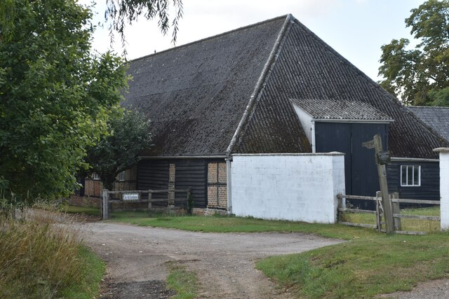
Crawley Clump
Wood, Forest in Hampshire Winchester
England
Crawley Clump

Crawley Clump is a picturesque woodland area located in Hampshire, England. Situated near the village of Crawley, this forested area covers approximately 50 acres of land. It is a popular destination for nature enthusiasts and those seeking tranquility amidst the natural surroundings.
The woodland in Crawley Clump is predominantly composed of a mix of native broadleaf trees such as oak, beech, and birch. These trees create a dense canopy, providing shade and shelter for a variety of wildlife species. The forest floor is covered in a thick layer of leaf litter, adding to the overall natural beauty of the area.
The paths through Crawley Clump offer visitors the opportunity to explore the forest at their leisure. These well-maintained trails wind through the trees, allowing hikers and walkers to enjoy the peaceful ambiance and observe the diverse flora and fauna. The woodland also features a small stream, which adds to the serenity of the surroundings.
Crawley Clump is home to a wide range of wildlife, including deer, foxes, badgers, and numerous bird species. The forest provides a vital habitat for these animals, offering them food, shelter, and protection.
Throughout the year, Crawley Clump attracts visitors who come to witness the changing seasons. In the spring, the woodland is alive with the vibrant colors of bluebells and wildflowers. In the autumn, the trees transform into a kaleidoscope of reds, oranges, and yellows, creating a breathtaking spectacle.
Overall, Crawley Clump is a cherished natural gem in Hampshire, offering visitors a chance to immerse themselves in the beauty of a traditional English woodland.
If you have any feedback on the listing, please let us know in the comments section below.
Crawley Clump Images
Images are sourced within 2km of 51.124016/-1.3683207 or Grid Reference SU4436. Thanks to Geograph Open Source API. All images are credited.


Crawley Clump is located at Grid Ref: SU4436 (Lat: 51.124016, Lng: -1.3683207)
Administrative County: Hampshire
District: Winchester
Police Authority: Hampshire
What 3 Words
///acids.insurance.charities. Near Kings Worthy, Hampshire
Nearby Locations
Related Wikis

Crawley, Hampshire
Crawley is a small village in Hampshire, England. It is a few miles from the county town (and former capital) of Winchester. It is a civil parish within...

South Wonston
South Wonston is a village on the outskirts of the City of Winchester district of Hampshire, England. The population of the parish of South Wonston was...
Chilbolton Down
Chilbolten Down is a hamlet in the civil parish of Chilbolton in Hampshire, England. Its nearest town is Stockbridge, which lies approximately 3.4 miles...
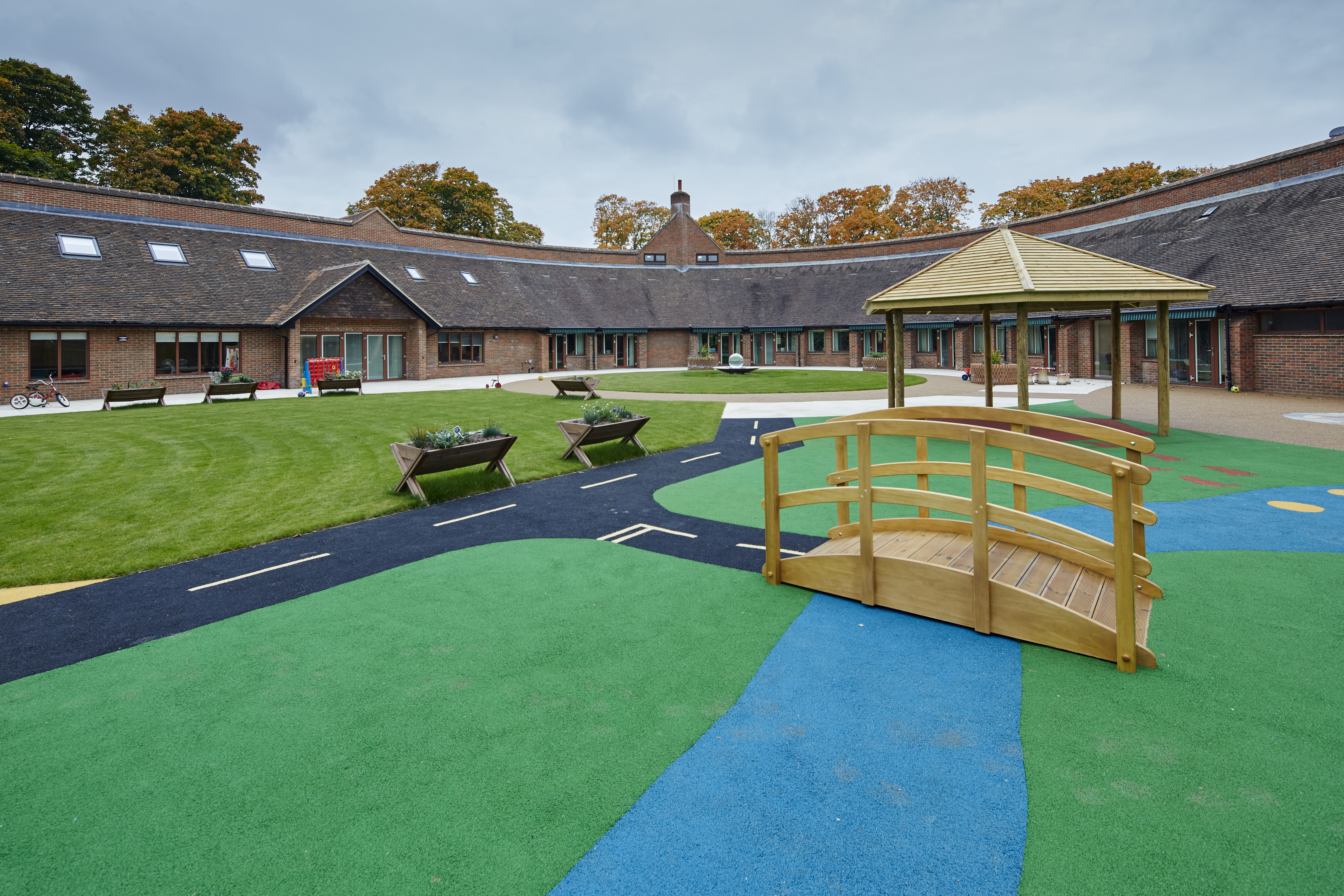
Naomi House Children's Hospice
Naomi House and Jacksplace are the hospices for children and young people in the Wessex region. The hospices are located at Sutton Scotney, near Winchester...
RAF Worthy Down
Royal Air Force Worthy Down, or simply RAF Worthy Down, was a Royal Air Force station built in 1918, 3.5 miles (6 km) north of Winchester, Hampshire, England...
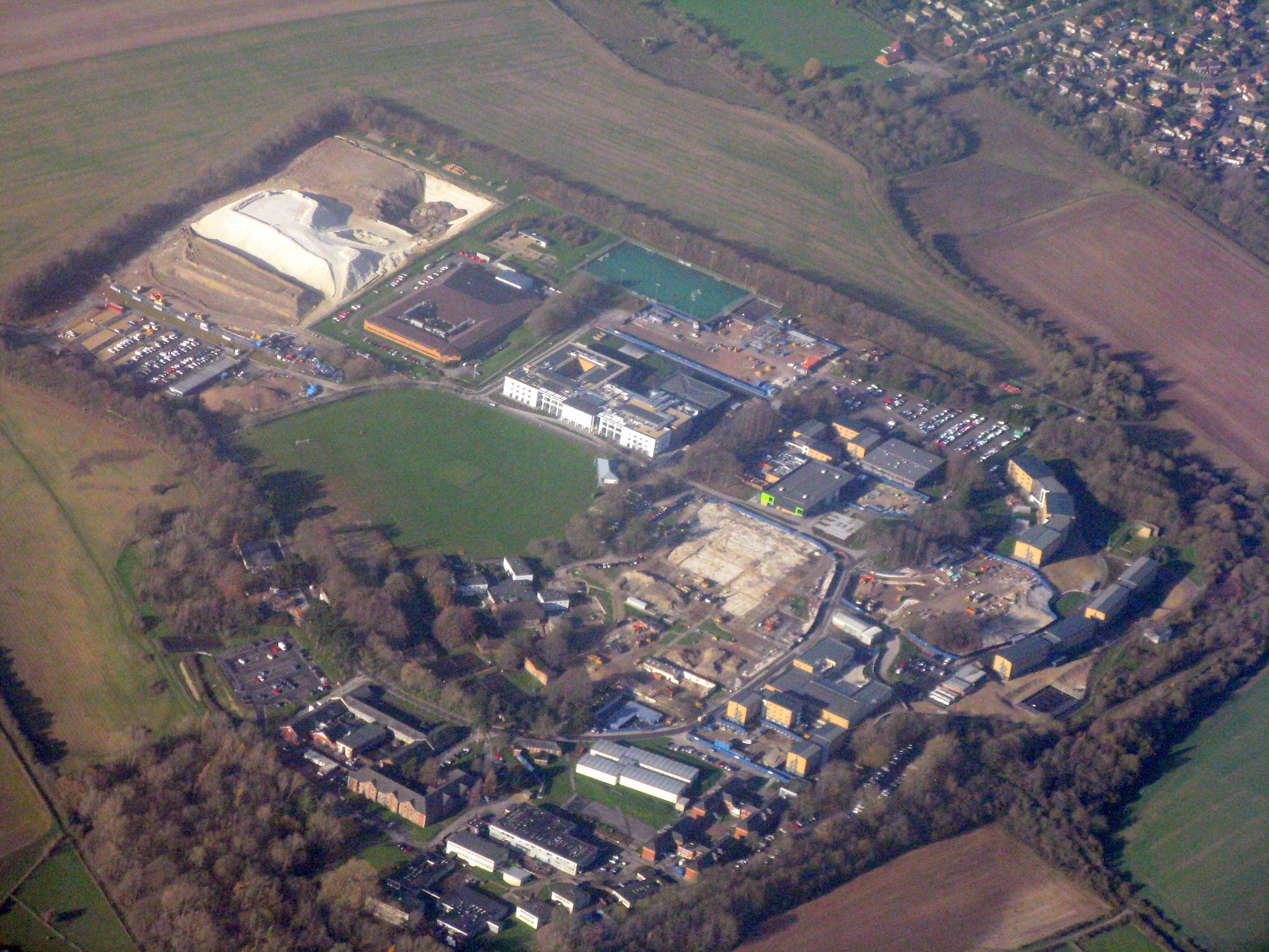
Worthy Down Camp
Worthy Down Camp is a tri-service establishment near Winchester, in Hampshire, England. It forms part of the wider Winchester Garrison and houses the headquarters...

Sutton Scotney
Sutton Scotney is a village in Hampshire, England, north of Winchester in the civil parish of Wonston. It lies alongside the River Dever and is now bypassed...
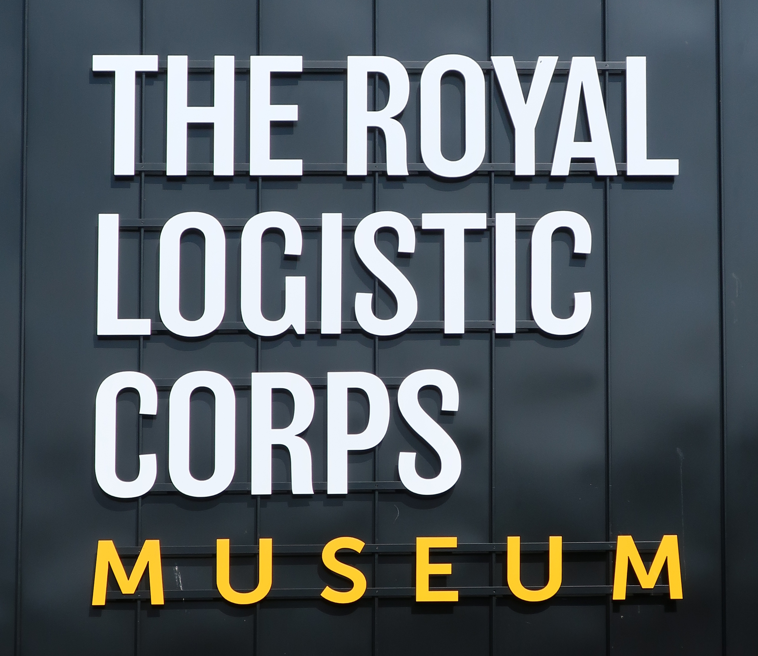
Royal Logistic Corps Museum
The Royal Logistic Corps Museum is based at Worthy Down near Winchester. It tells story of logistic support to the British Army from Agincourt to the...
Nearby Amenities
Located within 500m of 51.124016,-1.3683207Have you been to Crawley Clump?
Leave your review of Crawley Clump below (or comments, questions and feedback).