Crawley Down
Wood, Forest in Hampshire Winchester
England
Crawley Down

Crawley Down is a small village located in the county of Hampshire, England. Situated in the heart of the South Downs National Park, Crawley Down is known for its picturesque setting amidst woodlands and forests.
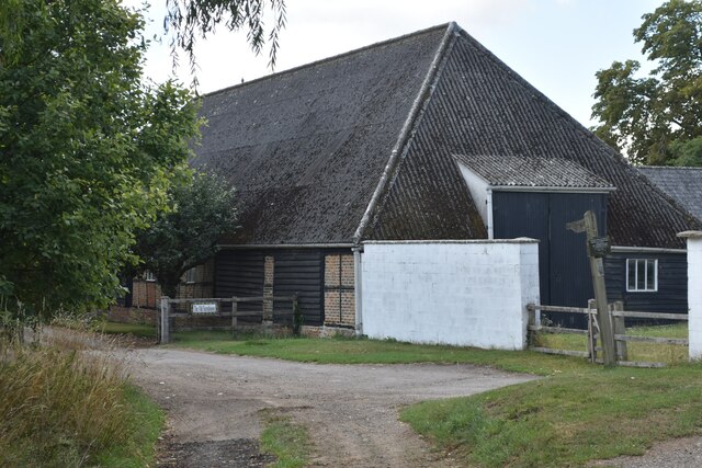
The village is surrounded by an abundance of natural beauty, with vast areas of woodland and forest that attract nature enthusiasts and outdoor lovers. The nearby Crawley Down Forest is particularly popular, offering miles of scenic trails for hiking, cycling, and horseback riding. The forest is home to a diverse range of wildlife, including deer, foxes, and a variety of bird species, making it a haven for nature lovers.
Despite its tranquil rural setting, Crawley Down is conveniently located close to several major towns and cities. The village is just a short drive away from the bustling city of Winchester, which offers a wide range of amenities including shops, restaurants, and cultural attractions. Additionally, the city of Southampton is within easy reach, providing residents with access to a major seaport and international airport.
Crawley Down itself is a tight-knit community, with a friendly and welcoming atmosphere. The village has a range of amenities, including a local shop, a post office, and a village hall which hosts various community events throughout the year. The village also has a primary school, making it an attractive location for families.
In summary, Crawley Down is a charming village set amidst the natural beauty of Hampshire's woodlands and forests. With its convenient location and strong sense of community, it offers a peaceful and idyllic lifestyle for residents while providing easy access to nearby towns and cities.
If you have any feedback on the listing, please let us know in the comments section below.
Crawley Down Images
Images are sourced within 2km of 51.126287/-1.3726338 or Grid Reference SU4436. Thanks to Geograph Open Source API. All images are credited.


Crawley Down is located at Grid Ref: SU4436 (Lat: 51.126287, Lng: -1.3726338)
Administrative County: Hampshire
District: Winchester
Police Authority: Hampshire
What 3 Words
///flop.tasteful.obligated. Near Kings Worthy, Hampshire
Nearby Locations
Related Wikis

Crawley, Hampshire
Crawley is a small village in Hampshire, England. It is a few miles from the county town (and former capital) of Winchester. It is a civil parish within...

South Wonston
South Wonston is a village on the outskirts of the City of Winchester district of Hampshire, England. The population of the parish of South Wonston was...
Chilbolton Down
Chilbolten Down is a hamlet in the civil parish of Chilbolton in Hampshire, England. Its nearest town is Stockbridge, which lies approximately 3.4 miles...
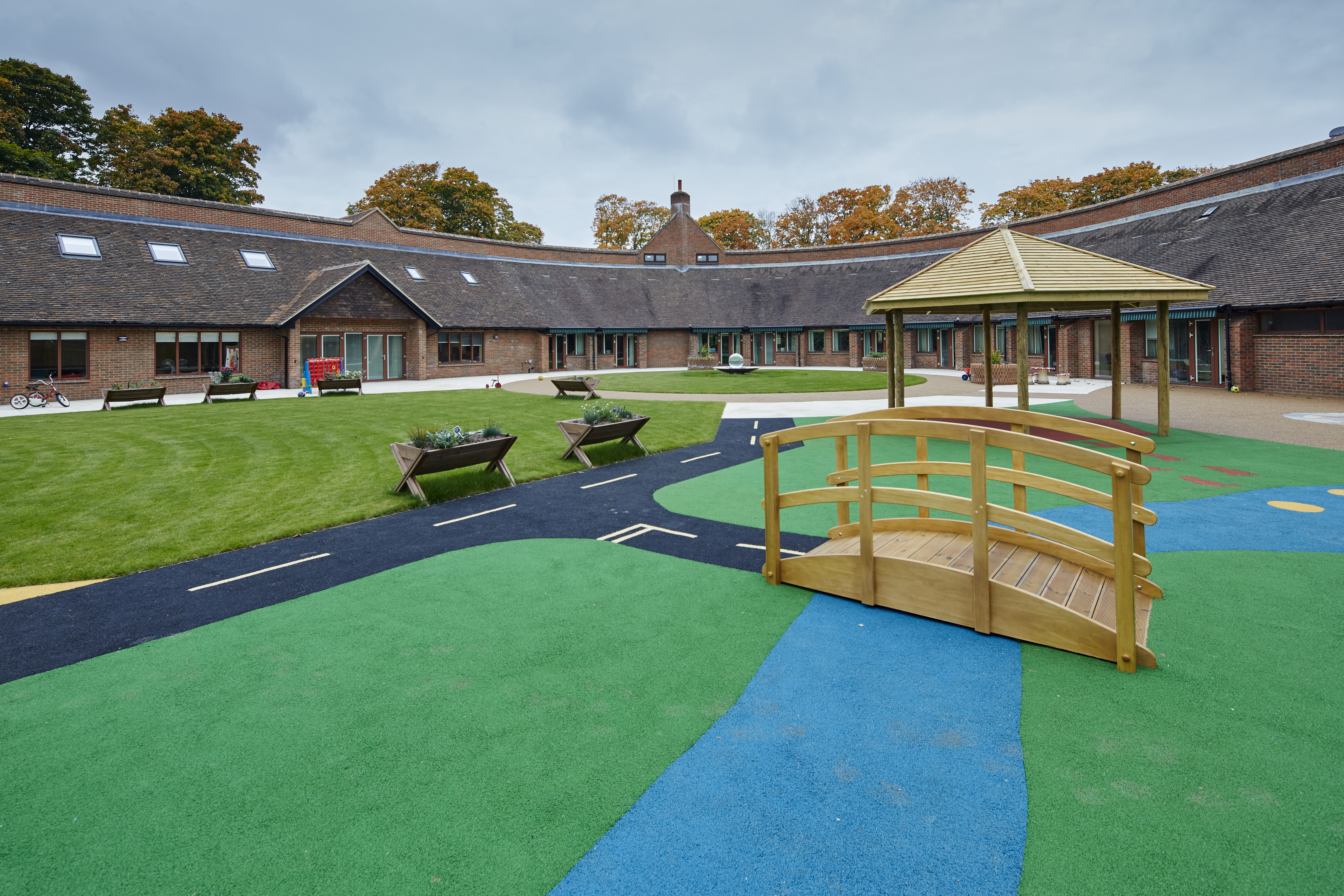
Naomi House Children's Hospice
Naomi House and Jacksplace are the hospices for children and young people in the Wessex region. The hospices are located at Sutton Scotney, near Winchester...

Sutton Scotney
Sutton Scotney is a village in Hampshire, England, north of Winchester in the civil parish of Wonston. It lies alongside the River Dever and is now bypassed...
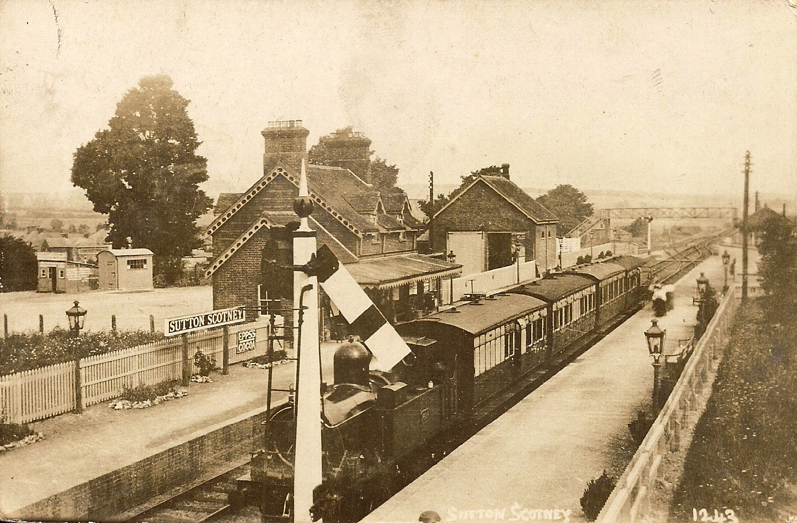
Sutton Scotney railway station
Sutton Scotney railway station is a disused station which served the village of Sutton Scotney a few miles north of Winchester on the Didcot, Newbury and...
RAF Worthy Down
Royal Air Force Worthy Down, or simply RAF Worthy Down, was a Royal Air Force station built in 1918, 3.5 miles (6 km) north of Winchester, Hampshire, England...
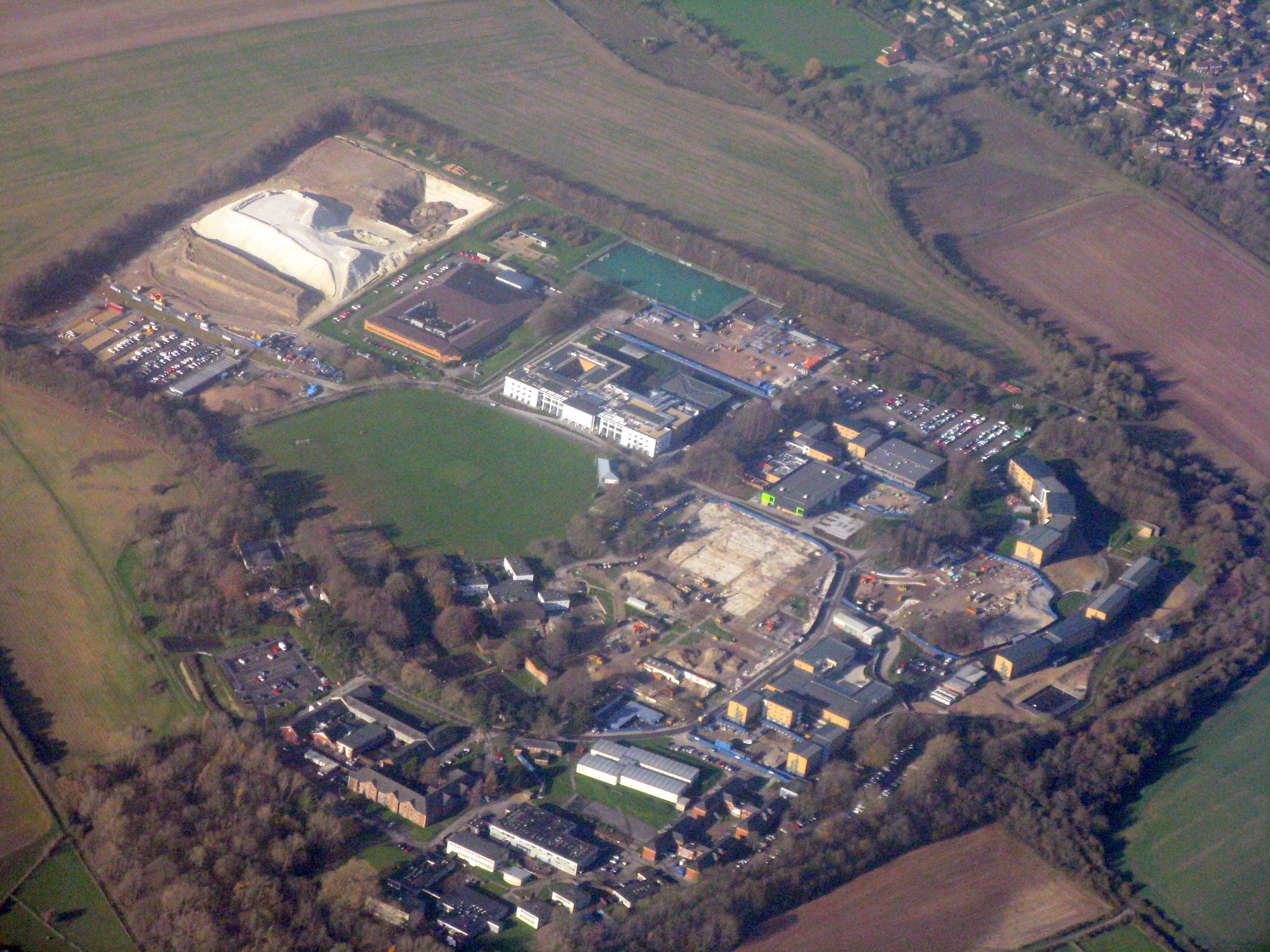
Worthy Down Camp
Worthy Down Camp is a tri-service establishment near Winchester, in Hampshire, England. It forms part of the wider Winchester Garrison and houses the headquarters...
Nearby Amenities
Located within 500m of 51.126287,-1.3726338Have you been to Crawley Down?
Leave your review of Crawley Down below (or comments, questions and feedback).