East Woodhay Plantation
Wood, Forest in Hampshire Basingstoke and Deane
England
East Woodhay Plantation
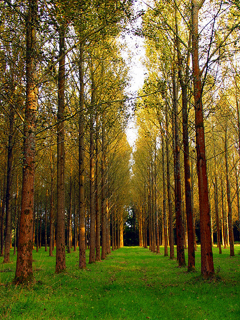
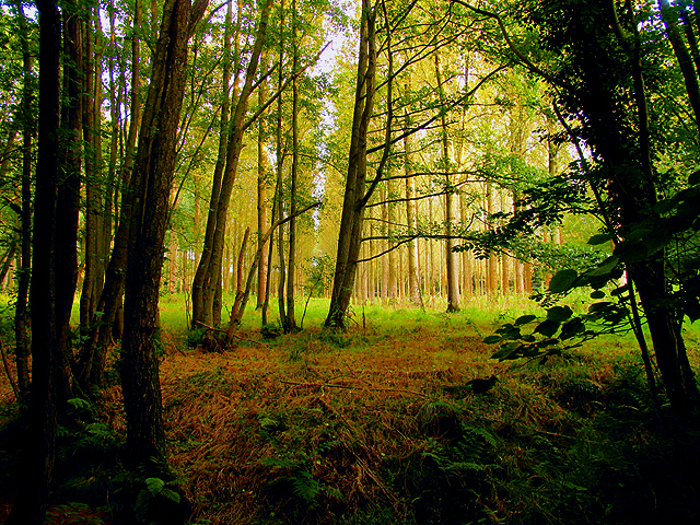
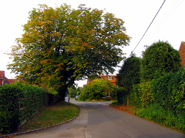
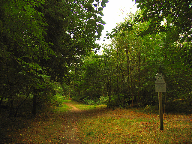
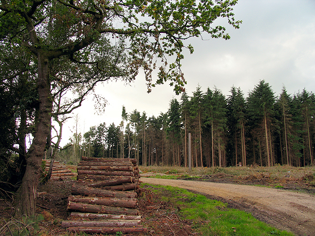
East Woodhay Plantation is a picturesque woodland area located in Hampshire, England. Nestled in the heart of the beautiful Hampshire countryside, this plantation covers an expansive area of approximately 500 acres. The plantation is primarily composed of dense woodlands, creating a serene and peaceful atmosphere for visitors to enjoy.
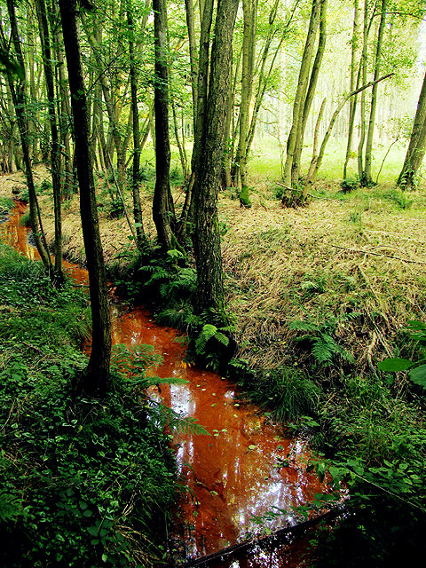
The woodland is home to a diverse range of tree species, including oak, beech, and birch, among others. These trees create a vibrant and ever-changing landscape throughout the seasons, with vibrant hues of green in the spring and summer, and a stunning array of autumnal colors in the fall. The woodland floor is also rich in flora, with bluebells, primroses, and wild garlic carpeting the forest floor during the appropriate seasons.
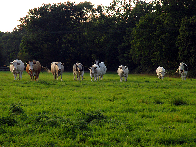
East Woodhay Plantation offers a variety of recreational activities for nature enthusiasts and outdoor lovers. There are numerous walking trails that wind through the woodland, allowing visitors to explore the plantation at their own pace. These trails offer stunning views of the surrounding countryside and provide an opportunity to observe the local wildlife, such as deer, foxes, and a wide array of bird species.
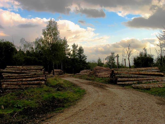
The plantation is managed by the local authorities, who strive to maintain the natural beauty and biodiversity of the area. Conservation efforts are in place to protect and enhance the woodland ecosystem, ensuring that future generations can continue to enjoy this natural haven.
Overall, East Woodhay Plantation is a captivating destination for those seeking to immerse themselves in nature and experience the tranquility of the Hampshire woodlands.
If you have any feedback on the listing, please let us know in the comments section below.
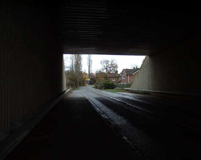
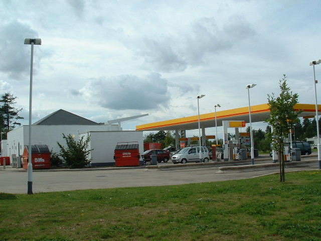
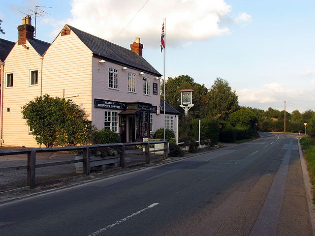
East Woodhay Plantation Images
Images are sourced within 2km of 51.356591/-1.3695519 or Grid Reference SU4362. Thanks to Geograph Open Source API. All images are credited.

East Woodhay Plantation is located at Grid Ref: SU4362 (Lat: 51.356591, Lng: -1.3695519)
Administrative County: Hampshire
District: Basingstoke and Deane
Police Authority: Hampshire
What 3 Words
///growl.cobbled.irrigate. Near Highclere, Hampshire
Nearby Locations
Related Wikis

Penwood
Penwood is a village in the civil parish of Highclere in the Basingstoke and Deane district of Hampshire, England. Its nearest town is Newbury, which lies...
Gainsborough Stud
Gainsborough Stud is a stud farm based in Woolton Hill, Hampshire, 3 miles (4.8 km) outside Newbury. It is owned by United Arab Emirates-based international...

Woolton Hill
Woolton Hill is a village in Hampshire, England, in the civil parish of East Woodhay. The village lies approximately 4 miles (6 km) south-west of the centre...
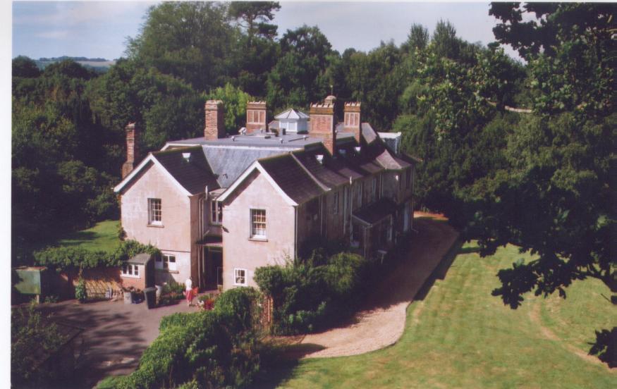
Bourne House, East Woodhay
Bourne House, East Woodhay, lies at the northwestern tip of the parish of Widehaye in the Evingar hundred, in Hampshire, England. == History == With an...
Woodhay railway station
Woodhay railway station was a station on the Didcot, Newbury and Southampton Railway in England. It was located about five miles south of the junction...

Highclere
Highclere (pronounced ) is a village and civil parish situated in the North Wessex Downs (an Area of Outstanding Natural Beauty) in the Basingstoke and...
Enborne Row
Enborne Row is a hamlet in Berkshire, England, located on the county's border with Hampshire. The hamlet is within the civil parish of Enborne. The settlement...

Wash Water
Wash Water is a hamlet on the border of Berkshire, and Hampshire. It is divided between the civil parishes of Enborne (where according to Grid Refs the...
Nearby Amenities
Located within 500m of 51.356591,-1.3695519Have you been to East Woodhay Plantation?
Leave your review of East Woodhay Plantation below (or comments, questions and feedback).