Charlotte's Wood
Wood, Forest in Yorkshire Harrogate
England
Charlotte's Wood

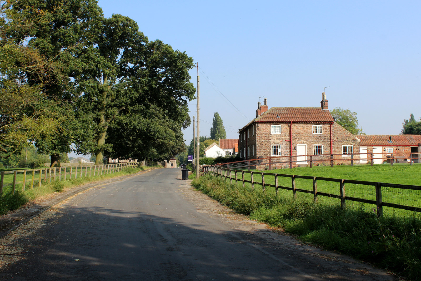
Charlotte's Wood is a picturesque forest located in the scenic region of Yorkshire, England. Spanning across a vast area, it is a haven for nature enthusiasts and those seeking tranquility amidst the lush greenery. The wood is named after Charlotte, a renowned naturalist who dedicated her life to studying the flora and fauna of the region.
The forest is characterized by its diverse ecosystem, comprising of towering oak, beech, and chestnut trees, interspersed with a variety of shrubs and undergrowth. The dense canopy provides a cool respite during the hot summer months, while the vibrant colors of autumn create a breathtaking spectacle. The forest floor is adorned with a carpet of wildflowers like bluebells, primroses, and daffodils, adding to the enchanting ambiance.
Charlotte's Wood is home to a wide range of wildlife, including deer, foxes, badgers, and an array of bird species. Birdwatchers can spot native birds such as jays, woodpeckers, and owls, while lucky visitors might catch a glimpse of the elusive red squirrels that reside in the treetops.
The forest offers various walking trails and hiking paths, allowing visitors to explore its beauty at their own pace. Nature lovers can indulge in activities like birdwatching, photography, or simply basking in the serenity of their surroundings. The wood also offers picnic spots and designated camping areas for those wanting to extend their stay.
Charlotte's Wood, with its tranquil atmosphere and stunning natural surroundings, is a true gem in the heart of Yorkshire, attracting visitors from near and far who seek solace in the embrace of nature.
If you have any feedback on the listing, please let us know in the comments section below.
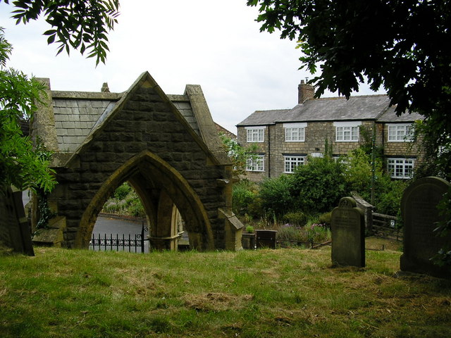
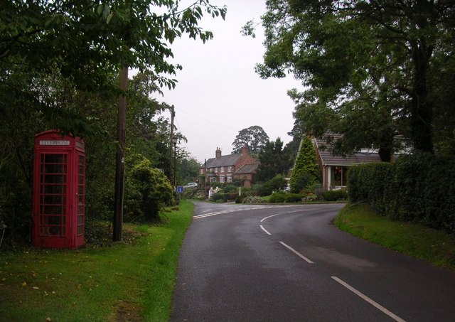
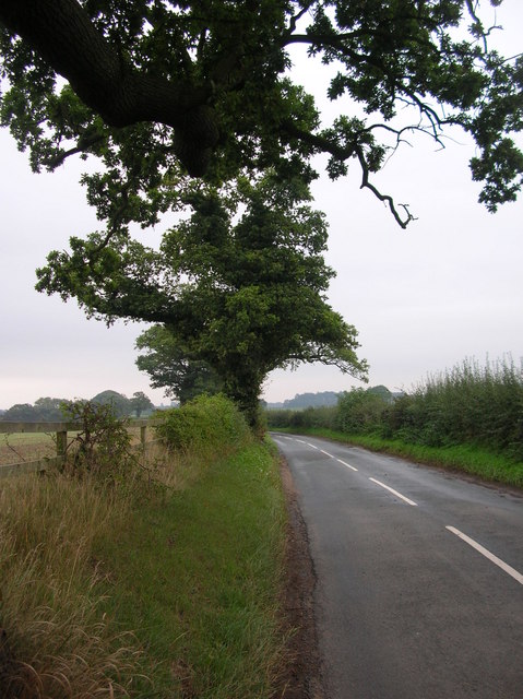
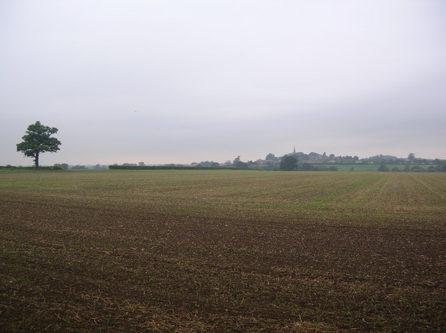
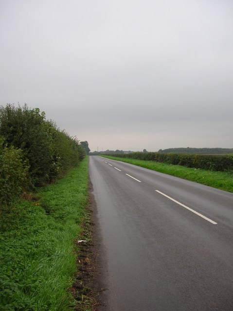
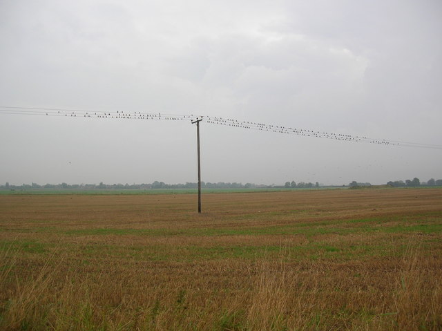
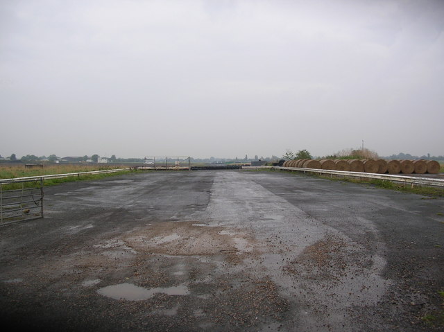
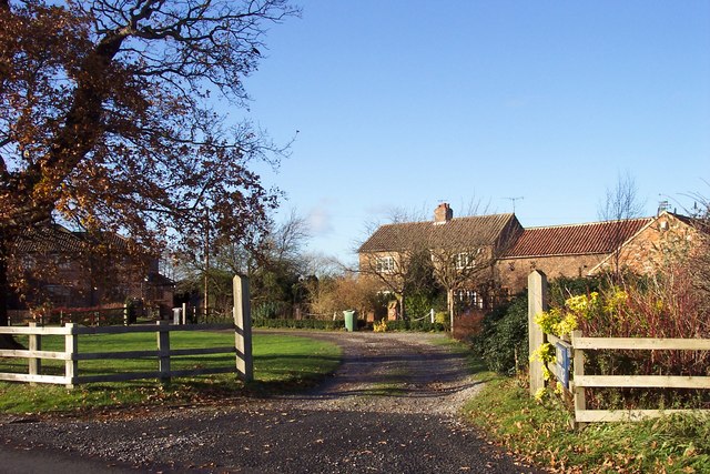
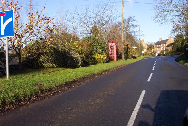
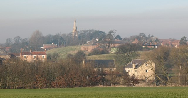
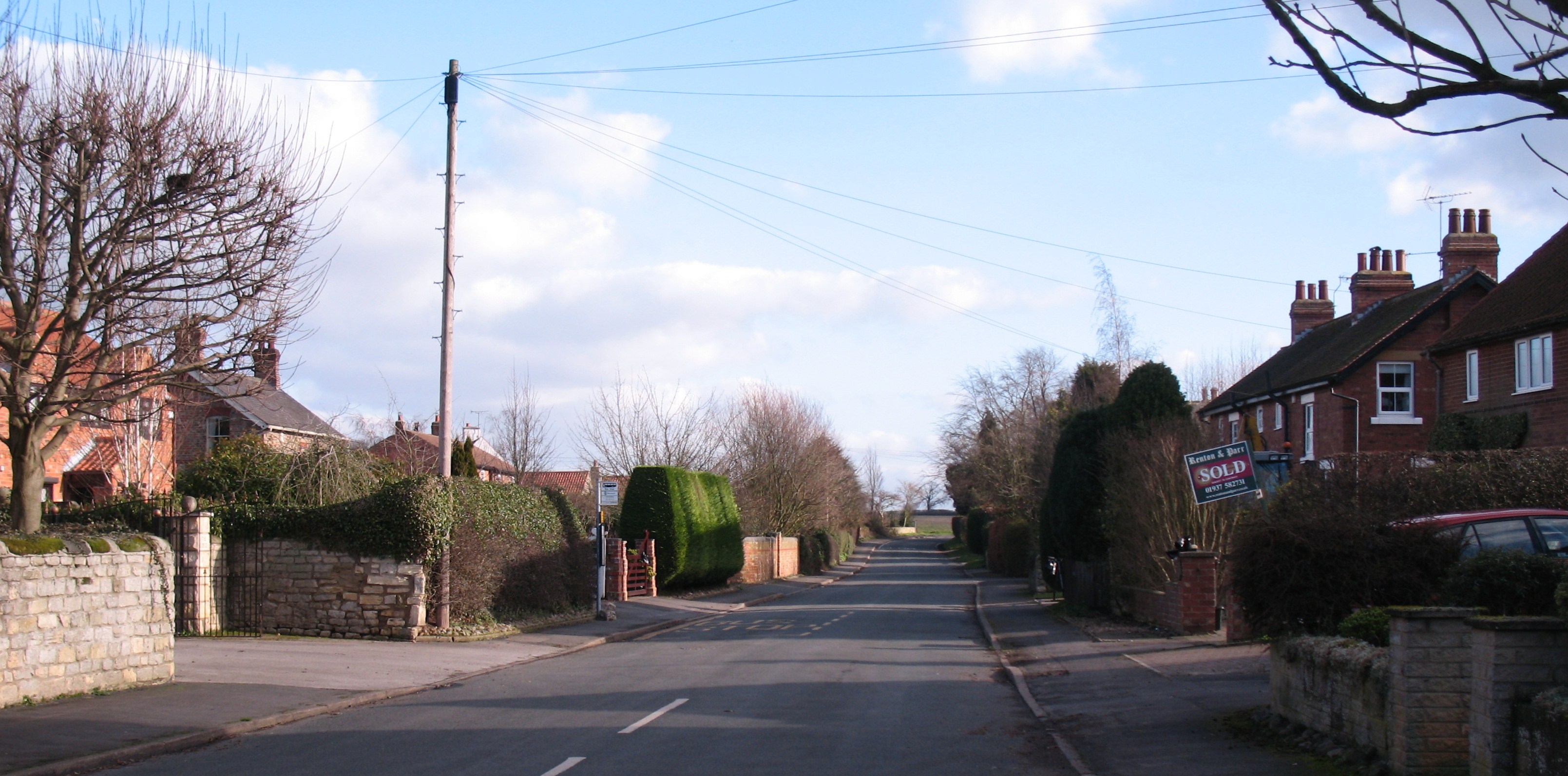
Charlotte's Wood Images
Images are sourced within 2km of 53.968849/-1.33193 or Grid Reference SE4352. Thanks to Geograph Open Source API. All images are credited.


Charlotte's Wood is located at Grid Ref: SE4352 (Lat: 53.968849, Lng: -1.33193)
Division: West Riding
Administrative County: North Yorkshire
District: Harrogate
Police Authority: North Yorkshire
What 3 Words
///gobbles.safari.serious. Near Walton, West Yorkshire
Nearby Locations
Related Wikis

Cowthorpe
Cowthorpe is a village in the civil parish of Tockwith, in North Yorkshire, England. It is situated 3 miles (4.8 km) north of Wetherby, 10 miles (16 km...
St Michael's Church, Cowthorpe
St Michael's Church is a redundant church in the village of Cowthorpe, North Yorkshire, England. It is recorded in the National Heritage List for England...
Hunsingore
Hunsingore is a village and civil parish in the Harrogate district of North Yorkshire, England. It is situated near the River Nidd and the A1(M) motorway...
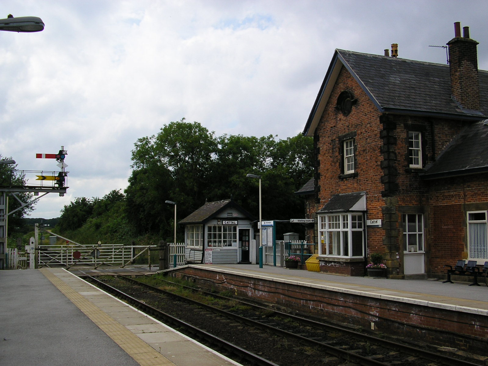
Cattal
Cattal is a village and civil parish in the Borough of Harrogate district of North Yorkshire, England, about 6 miles (9.7 km) east of Knaresborough, and...

RAF Marston Moor
RAF Marston Moor was a Royal Air Force airfield at Tockwith, North Yorkshire, during the Second World War. It was originally called RAF Tockwith, but...
Bickerton, North Yorkshire
Bickerton is a village on the B1224 road, in the civil parish of Bilton-in-Ainsty with Bickerton, in North Yorkshire, England. The nearest town is Wetherby...
Walshford
Walshford is a hamlet in the civil parish of Great Ribston with Walshford, in the Harrogate district, in the county of North Yorkshire, England. The hamlet...

Maltkiln
Maltkiln is a proposed new village development centred around Cattal railway station in North Yorkshire, England. The development is just south of the...
Nearby Amenities
Located within 500m of 53.968849,-1.33193Have you been to Charlotte's Wood?
Leave your review of Charlotte's Wood below (or comments, questions and feedback).