Corsica Pine Wood

Wood, Forest in Berkshire Vale of White Horse

England

Corsica Pine Wood

Tree Lined Way Tree lined way (Designated traffic free cycle route) to East Ginge
Tree Lined Way Credit: Shaun Ferguson

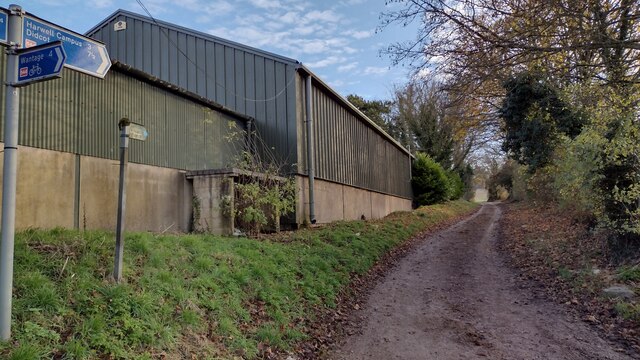
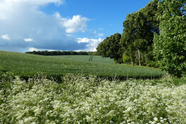
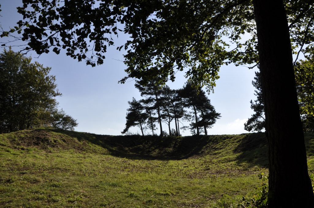
Corsica Pine Wood is a dense forest located in Berkshire, England. Covering an area of approximately 100 hectares, this woodland is predominantly composed of Corsican pine trees, which give it its name. The forest is part of the larger Windsor Forest and is managed by the Crown Estate.

The Corsican pine (Pinus nigra var. maritima) is a coniferous species native to the Mediterranean region. It was introduced to Britain in the 19th century for commercial purposes due to its fast growth and high-quality timber. Corsica Pine Wood represents one of the largest stands of this species in the country.

The forest is characterized by its tall, straight pine trees that reach heights of up to 30 meters. The dense canopy formed by the trees creates a shaded and cool atmosphere within the woodland. The forest floor is covered with a thick layer of pine needles, providing a soft carpet underfoot.

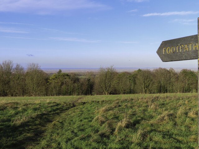
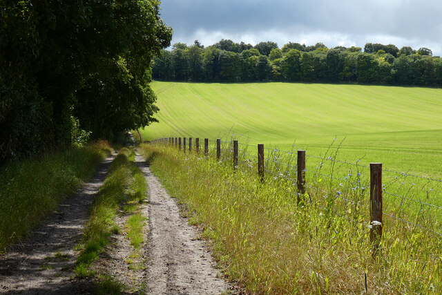
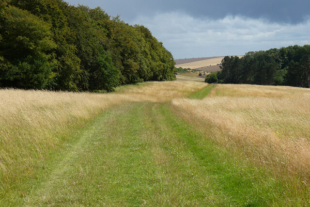
Corsica Pine Wood is a popular recreational area for both locals and tourists. It offers numerous walking trails, allowing visitors to explore the picturesque landscape and enjoy the tranquility of nature. The forest also provides habitat for a variety of wildlife, including birds, small mammals, and insects.

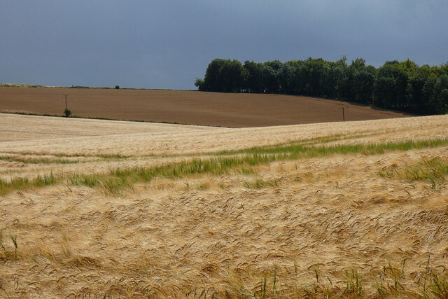
Managed sustainably, Corsica Pine Wood serves as an important source of timber for the local economy. Regular thinning and replanting ensure the long-term health and productivity of the forest.

Overall, Corsica Pine Wood is a beautiful and well-managed forest that offers a peaceful retreat for nature lovers and contributes to the local economy through sustainable timber production.

If you have any feedback on the listing, please let us know in the comments section below.

Corsica Pine Wood Images

Images are sourced within 2km of 51.564423/-1.3677506 or Grid Reference SU4385. Thanks to Geograph Open Source API. All images are credited.

Tree Lined Way Tree lined way (Designated traffic free cycle route) to East Ginge
Tree Lined Way
Tree lined way (Designated traffic free cycle route) to East Ginge
Route 544 to Harwell Campus National Cycle Network Route 544 to Harwell Campus for a short stretch on the bridleway to The Ridgeway
Route 544 to Harwell Campus
National Cycle Network Route 544 to Harwell Campus for a short stretch on the bridleway to The Ridgeway
Bridleway heading to Ardington Bridleway between the fields heading to Ardington
Bridleway heading to Ardington
Bridleway between the fields heading to Ardington
The Lord Wantage memorial by the Ridgeway Lord Wantage was the first man to win a Victoria Cross in the Crimean War.
The Lord Wantage memorial by the Ridgeway
Lord Wantage was the first man to win a Victoria Cross in the Crimean War.
The Lord Wantage memorial Lord Wantage was the first man to win a Victoria Cross in the Crimean War.
The Lord Wantage memorial
Lord Wantage was the first man to win a Victoria Cross in the Crimean War.
Footpath to East Lockinge
The Lord Wantage memorial Lord Wantage was the first man to win a Victoria Cross in the Crimean War.
The Lord Wantage memorial
Lord Wantage was the first man to win a Victoria Cross in the Crimean War.
Farmland, Ardington
Farmland, Ardington
Farmland, Ardington Spring barley beside the bridleway at Down Barn.
Farmland, Ardington
Spring barley beside the bridleway at Down Barn.
Farmland and woodland, Ardington Spring barley beside the bridleway descending from the Ridgeway to Betterton.
Farmland and woodland, Ardington
Spring barley beside the bridleway descending from the Ridgeway to Betterton.
Track, woods and farmland, Ardington Birch Wood and a cut silage field are to the left of the bridleway descending to Betterton from the Ridgeway.
Track, woods and farmland, Ardington
Birch Wood and a cut silage field are to the left of the bridleway descending to Betterton from the Ridgeway.
Track and farmland, Lockinge Cut silage and the footpath climbing to the Ridgeway from Chalkhill Barn.
Track and farmland, Lockinge
Cut silage and the footpath climbing to the Ridgeway from Chalkhill Barn.
Woods and grassland, Ardington The restricted byway on Wether Down descending from the Ridgeway to Land's End.
Woods and grassland, Ardington
The restricted byway on Wether Down descending from the Ridgeway to Land's End.
Restricted byway towards Cwichelmeshlaew A restricted byway between a byway near an entrance to Johnson's Farm and Cwichelmeshlaew (alternatively known as Scutchamer Knob, Cuckhamsley Hill, Scotsman's Knob, Beacon Hill or Cwichelm's Barrow): the location where King Edwin of Northumbria killed King Cwichelm of Wessex in 636.
Restricted byway towards Cwichelmeshlaew
A restricted byway between a byway near an entrance to Johnson's Farm and Cwichelmeshlaew (alternatively known as Scutchamer Knob, Cuckhamsley Hill, Scotsman's Knob, Beacon Hill or Cwichelm's Barrow): the location where King Edwin of Northumbria killed King Cwichelm of Wessex in 636.
Nobody fancy a walk? A completely empty car park on The Ridgeway, near Cwichelmeshlaew (alternatively known as Scutchamer Knob, Cuckhamsley Hill, Scotsman's Knob, Beacon Hill or Cwichelm's Barrow): the location where King Edwin of Northumbria killed King Cwichelm of Wessex in 636.

Unsurprisingly not many people were mad enough to go walking in the downpours.
Nobody fancy a walk?
A completely empty car park on The Ridgeway, near Cwichelmeshlaew (alternatively known as Scutchamer Knob, Cuckhamsley Hill, Scotsman's Knob, Beacon Hill or Cwichelm's Barrow): the location where King Edwin of Northumbria killed King Cwichelm of Wessex in 636. Unsurprisingly not many people were mad enough to go walking in the downpours.
Newbury Road by The Ridgeway You'd be hard-pressed to reach Newbury on this road, but it is the name of it nonetheless.
Newbury Road by The Ridgeway
You'd be hard-pressed to reach Newbury on this road, but it is the name of it nonetheless.
The Ridgeway Passing above East Hendred Down.
The Ridgeway
Passing above East Hendred Down.
Scutchamer's Knob
Scutchamer's Knob
Show me another place!

Corsica Pine Wood is located at Grid Ref: SU4385 (Lat: 51.564423, Lng: -1.3677506)

Administrative County: Oxfordshire

District: Vale of White Horse

Police Authority: Thames Valley

What 3 Words

///reserve.gloves.surpassed. Near Farnborough, Berkshire

Related Wikis

The Ridgeway

The Ridgeway is a ridgeway or ancient trackway described as Britain's oldest road. The section clearly identified as an ancient trackway extends from Wiltshire...

West Ginge

West Ginge is a hamlet within the civil parish of Ardington in the English county of Oxfordshire (formerly Berkshire), 3.9 miles (6.3 km) by road to the...

Scutchamer Knob

Scutchamer Knob, also known as Cuckhamsley Hill and occasionally as Scotsman's Knob or Beacon Hill, is an early Iron Age round barrow on the Ridgeway National...

East Lockinge

East Lockinge is a village and former civil parish, now in the parish of Lockinge, in the Vale of White Horse district, in the county of Oxfordshire, England...

PLUTO reactor

PLUTO was a materials testing nuclear reactor housed at the Atomic Energy Research Establishment, a former Royal Air Force airfield at Harwell, Oxfordshire...

DIDO (nuclear reactor)

DIDO was a materials testing nuclear reactor at the Atomic Energy Research Establishment at Harwell, Oxfordshire in the United Kingdom. It used enriched...

Lockinge Estate

The Lockinge Estate is a 3,035-hectare (7,500-acre) agricultural and housing estate near Wantage that today includes most of the land and property encompassing...

West Lockinge

West Lockinge is a village in and former civil parish, now in the parish of Lockinge, in the Vale of White Horse district, in the county of Oxfordshire...

Have you been to Corsica Pine Wood?

Leave your review of Corsica Pine Wood below (or comments, questions and feedback).