Ardington Down
Downs, Moorland in Berkshire Vale of White Horse
England
Ardington Down

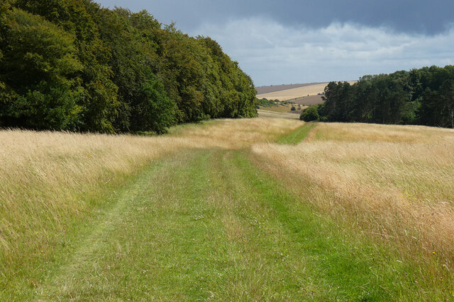
Ardington Down is a prominent geographical feature located in the county of Berkshire, England. This area, commonly referred to as the Downs, encompasses a vast expanse of open moorland and rolling hills. Ardington Down is situated approximately 5 miles northeast of the town of Wantage and covers an area of around 2 square miles.
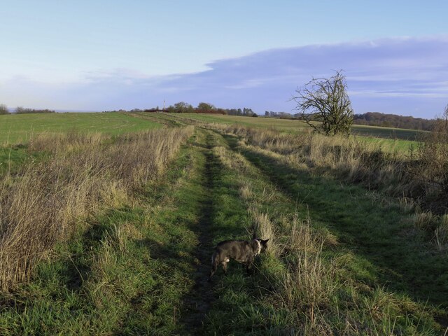
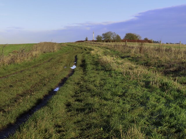
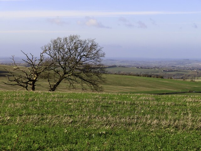
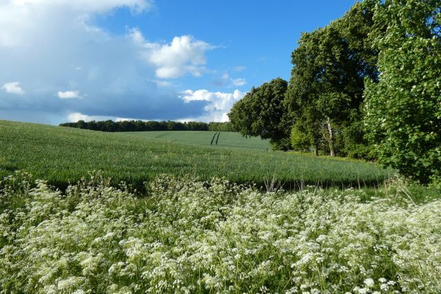
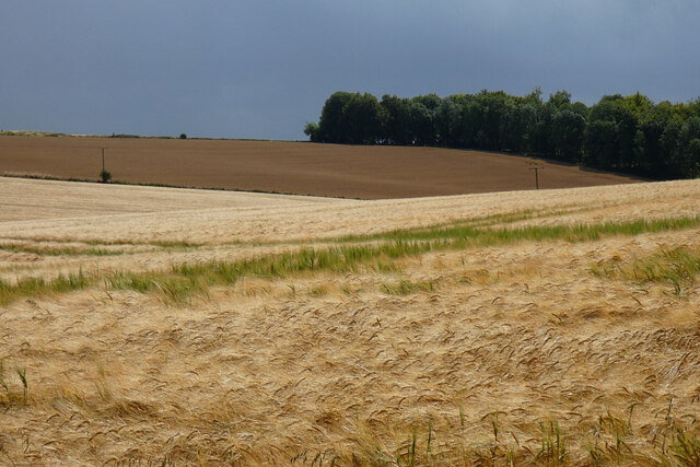
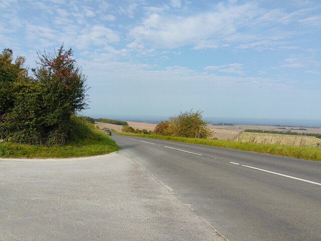
The landscape of Ardington Down is characterized by its undulating terrain, with the highest point reaching an elevation of approximately 500 feet. The area is predominantly covered with heathland, offering a picturesque view of purple heather and gorse bushes during the summer months. The moorland is interspersed with patches of grassland and scattered trees, providing habitats for diverse flora and fauna.
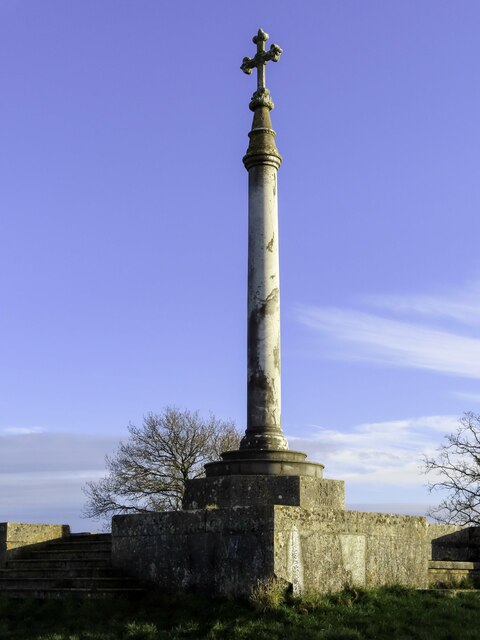
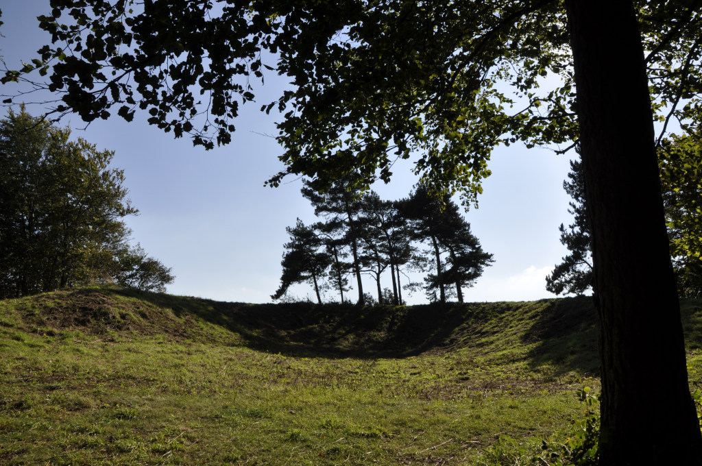
Ardington Down is renowned for its rich archaeological heritage. Numerous ancient burial mounds and barrows can be found scattered across the downs, dating back to the Bronze Age. The area has also witnessed human activity during the Iron Age and Roman period, as evidenced by the discovery of artifacts and remains.
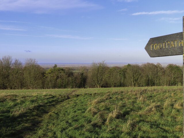
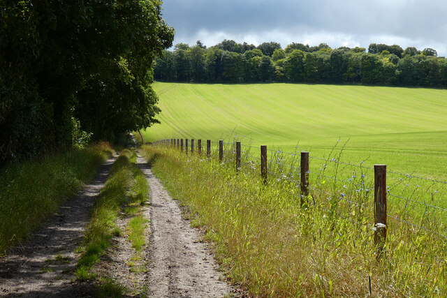
The downs are popular among outdoor enthusiasts, attracting hikers, walkers, and nature lovers. Several footpaths and bridleways crisscross the area, offering opportunities for exploration and scenic walks. The expansive views from the downs provide a stunning backdrop of the surrounding countryside, making it a favorite spot for photography enthusiasts.
In summary, Ardington Down in Berkshire is a picturesque expanse of open moorland and rolling hills, known for its archaeological significance and natural beauty. Whether for leisurely walks, photography, or historical exploration, this area offers a tranquil escape into the heart of nature.
If you have any feedback on the listing, please let us know in the comments section below.
Ardington Down Images
Images are sourced within 2km of 51.56265/-1.3758971 or Grid Reference SU4385. Thanks to Geograph Open Source API. All images are credited.


Ardington Down is located at Grid Ref: SU4385 (Lat: 51.56265, Lng: -1.3758971)
Administrative County: Oxfordshire
District: Vale of White Horse
Police Authority: Thames Valley
What 3 Words
///rejected.fiery.immediate. Near Farnborough, Berkshire
Nearby Locations
Related Wikis

The Ridgeway
The Ridgeway is a ridgeway or ancient trackway described as Britain's oldest road. The section clearly identified as an ancient trackway extends from Wiltshire...

West Ginge
West Ginge is a hamlet within the civil parish of Ardington in the English county of Oxfordshire (formerly Berkshire), 3.9 miles (6.3 km) by road to the...
Scutchamer Knob
Scutchamer Knob, also known as Cuckhamsley Hill and occasionally as Scotsman's Knob or Beacon Hill, is an early Iron Age round barrow on the Ridgeway National...

East Lockinge
East Lockinge is a village and former civil parish, now in the parish of Lockinge, in the Vale of White Horse district, in the county of Oxfordshire, England...

West Lockinge
West Lockinge is a village in and former civil parish, now in the parish of Lockinge, in the Vale of White Horse district, in the county of Oxfordshire...

Lockinge Estate
The Lockinge Estate is a 3,035-hectare (7,500-acre) agricultural and housing estate near Wantage that today includes most of the land and property encompassing...
Farnborough, Berkshire
Farnborough is a village and civil parish in West Berkshire, about 4 miles (6.4 km) south of Wantage. The village is 720 feet (220 m) above sea level on...

Ardington and Lockinge
Ardington and Lockinge are two civil parishes in the Vale of White Horse district, centred about 2 miles (3 km) east of Wantage, Oxfordshire, that share...
Have you been to Ardington Down?
Leave your review of Ardington Down below (or comments, questions and feedback).