Ashbed Plantation
Wood, Forest in Derbyshire Erewash
England
Ashbed Plantation

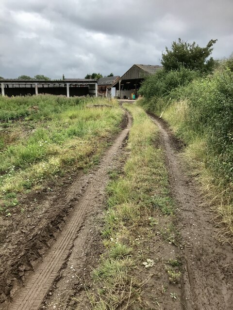
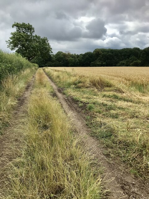
Ashbed Plantation is a picturesque woodland located in the county of Derbyshire, England. Situated near the village of Ashbourne, it covers an area of approximately 500 acres, making it one of the largest plantations in the region. The woodland is predominantly composed of ash trees, which give it its name, but it also features a variety of other tree species including oak, birch, and beech.
The plantation is renowned for its natural beauty and is a popular destination for nature enthusiasts and hikers. Its well-maintained trails allow visitors to explore the woodland at their own pace, providing opportunities to observe a diverse range of flora and fauna. The forest floor is carpeted with a rich assortment of wildflowers, creating a vibrant and colorful setting during the spring and summer months.
Wildlife thrives in the plantation, with numerous species of birds, mammals, and insects calling it home. Birdwatchers can spot a variety of species, including woodpeckers, owls, and various songbirds. Mammals such as deer, foxes, and squirrels can also be spotted within the woodland, adding to the enchanting atmosphere.
Ashbed Plantation is not only appreciated for its natural beauty but also for its historical significance. It is believed to have been in existence for centuries, with records dating back to the medieval period. The woodland has played a role in the local economy, providing timber for construction and fuel over the years.
Overall, Ashbed Plantation is a captivating destination, offering visitors a chance to immerse themselves in the beauty of nature while also experiencing a piece of Derbyshire's rich history.
If you have any feedback on the listing, please let us know in the comments section below.
Ashbed Plantation Images
Images are sourced within 2km of 52.9245/-1.3595204 or Grid Reference SK4336. Thanks to Geograph Open Source API. All images are credited.


Ashbed Plantation is located at Grid Ref: SK4336 (Lat: 52.9245, Lng: -1.3595204)
Administrative County: Derbyshire
District: Erewash
Police Authority: Derbyshire
What 3 Words
///loft.spokes.socialite. Near Borrowash, Derbyshire
Nearby Locations
Related Wikis
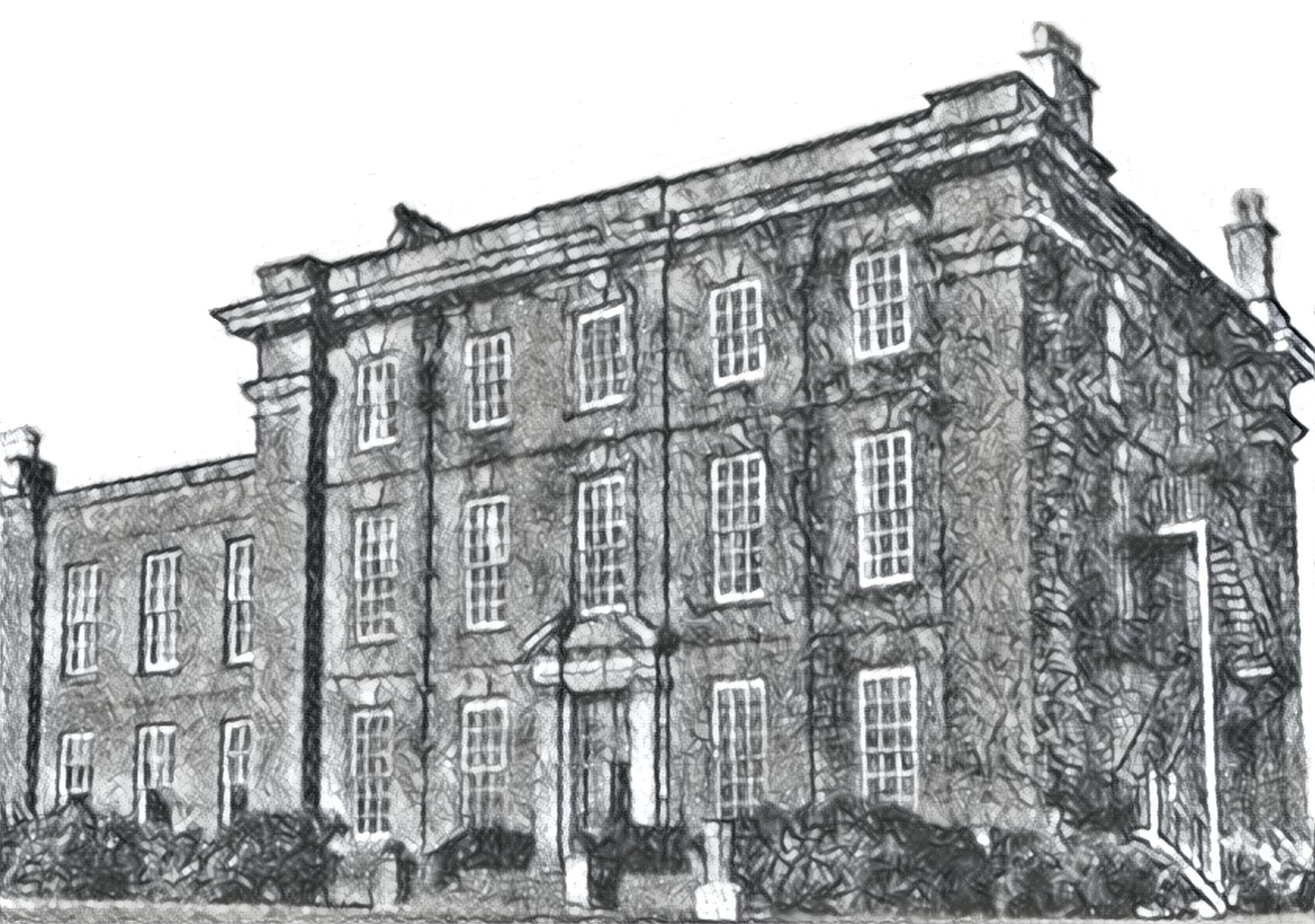
Hopwell Hall
Hopwell Hall country house near Ockbrook, Derbyshire was built in 1720. It was owned by five generations of the Pares family from 1786 to 1921. The hall...

Hopwell
Hopwell is a hamlet and civil parish in the south east of Derbyshire, England. The population of the civil parish at the 2011 census was 33. It lies south...

Ockbrook
Ockbrook is a village in Derbyshire, England. It is almost contiguous with the village of Borrowash, the two only separated by the A52. The civil parish...
Maurice D. G. Scott
Captain Maurice Douglas Guest Scott (13 November 1895 – 17 March 1918) was a British World War I flying ace credited with twelve official victories, including...
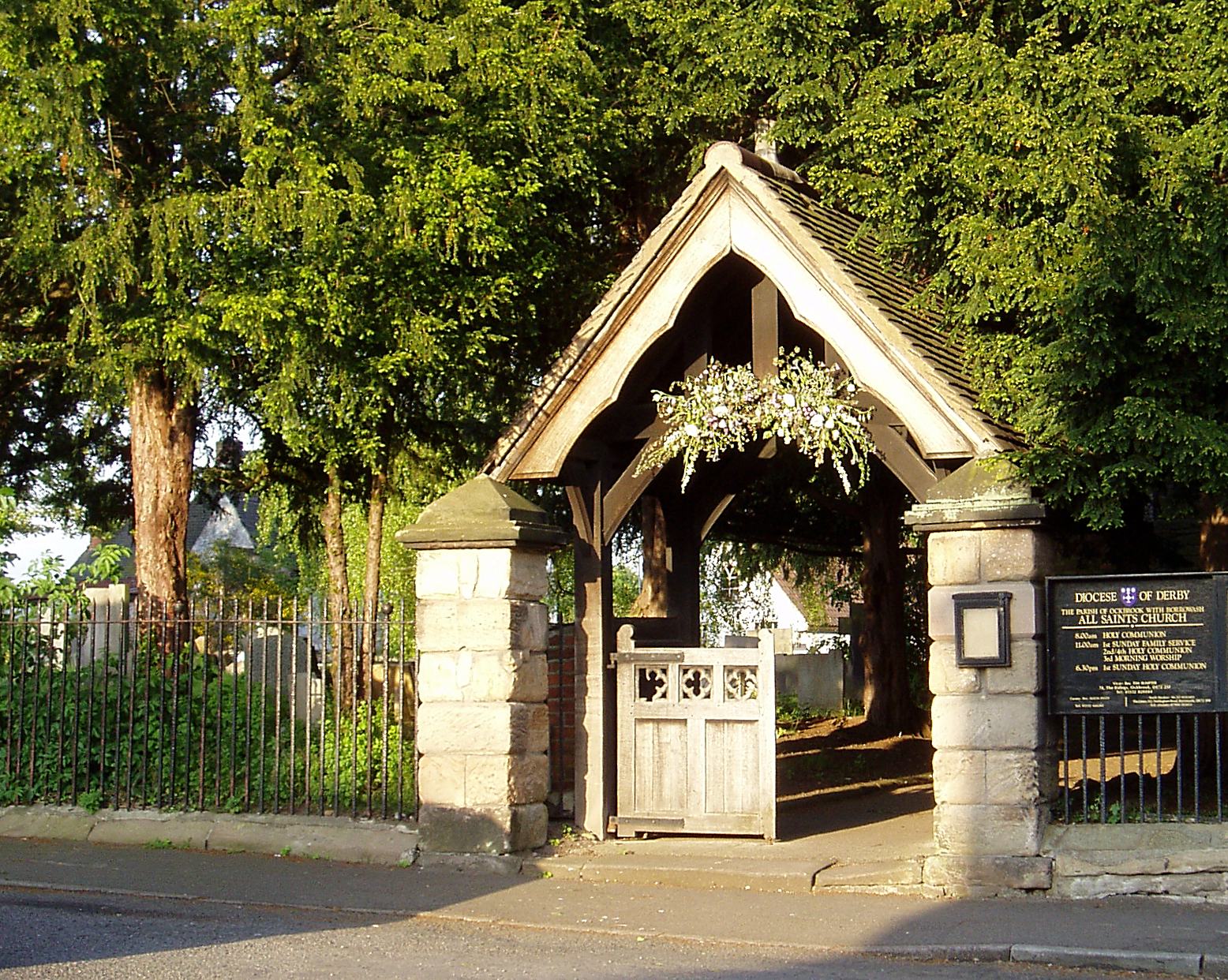
All Saints' Church, Ockbrook
All Saints' Church, Ockbrook, is a parish church in the Church of England located in Ockbrook, Derbyshire. == History == Before the English Reformation...
Ockbrook School
Ockbrook School was an independent coeducational day and boarding school for children aged 3–18 years situated in rural Derbyshire between the cities of...
Ockbrook and Borrowash
Ockbrook and Borrowash (grid reference SK425351) is a civil parish in the borough of Erewash in the county of Derbyshire in England. It straddles the A52...

Borrowash
Borrowash is a village in the Erewash district of Derbyshire, England, situated immediately east of the Derby city boundary. The appropriate civil parish...
Nearby Amenities
Located within 500m of 52.9245,-1.3595204Have you been to Ashbed Plantation?
Leave your review of Ashbed Plantation below (or comments, questions and feedback).