Dovecothall
Settlement in Renfrewshire
Scotland
Dovecothall
Dovecothall is a small village located in the historic county of Renfrewshire, Scotland. Situated approximately 10 miles southwest of the town of Paisley, Dovecothall is nestled in a picturesque rural setting surrounded by rolling hills and lush green fields.
The village is known for its tranquil and idyllic atmosphere, making it an ideal destination for those seeking a peaceful retreat away from the hustle and bustle of city life. The area is characterized by its charming cottages and traditional stone buildings, which add to its rustic charm.
Dovecothall is well-connected to the surrounding areas, with convenient transportation links providing easy access to nearby towns and cities. The village is serviced by a local bus route, making it easily accessible for both residents and visitors.
Despite its small size, Dovecothall offers a range of amenities to cater to the needs of its residents. These include a local convenience store, a post office, and a village hall that serves as a hub for community activities and events.
Nature enthusiasts will find themselves in paradise in Dovecothall, as the surrounding countryside offers ample opportunities for outdoor activities such as hiking, cycling, and bird-watching. The village is also within close proximity to several nature reserves and parks, providing further options for exploration and relaxation.
Overall, Dovecothall is a charming village with a strong sense of community and a beautiful natural environment, making it an appealing place to live or visit for those seeking a peaceful and picturesque Scottish retreat.
If you have any feedback on the listing, please let us know in the comments section below.
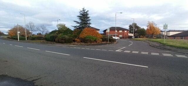
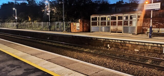
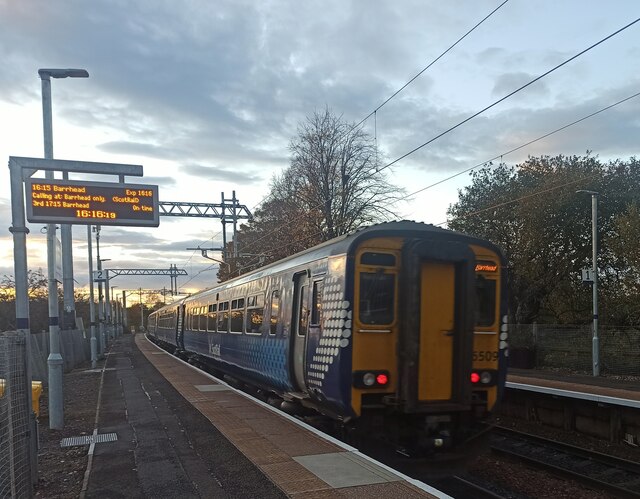
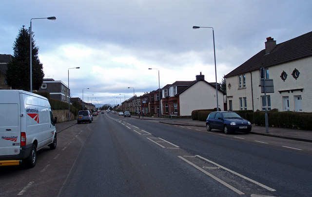
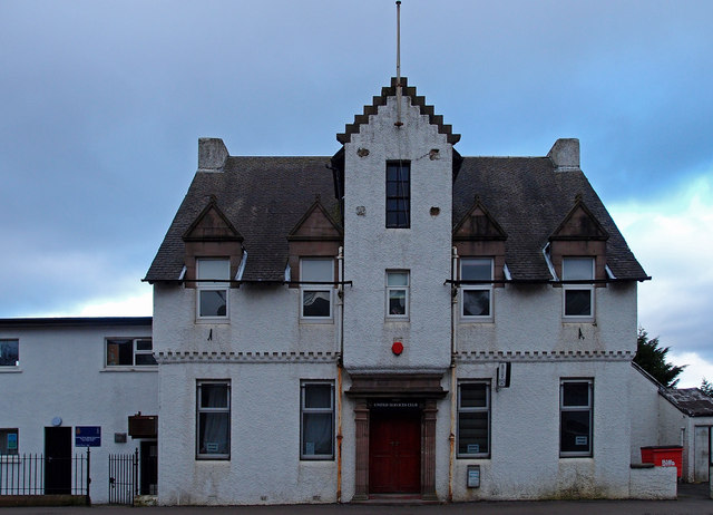
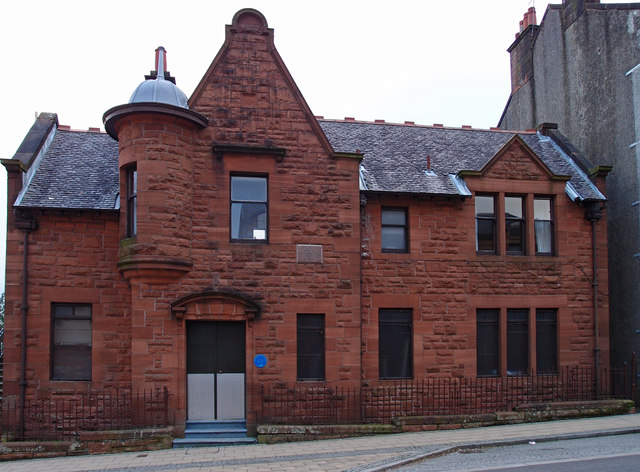
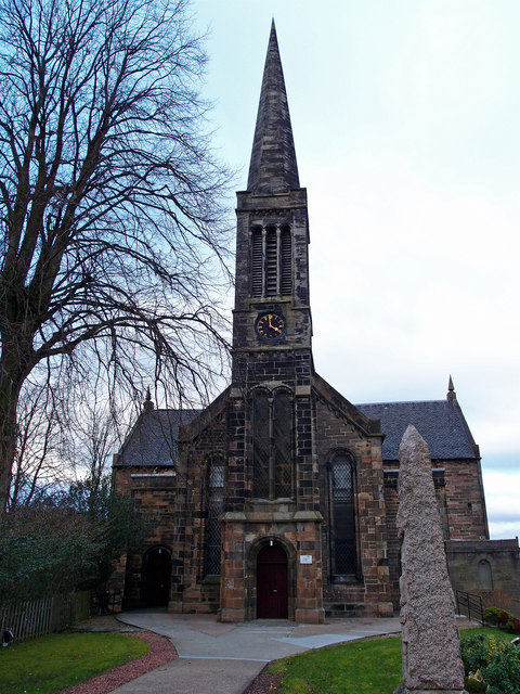
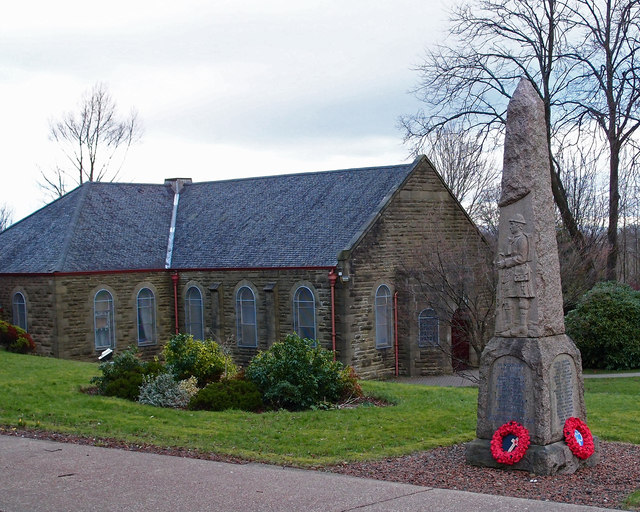
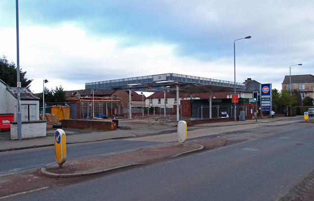
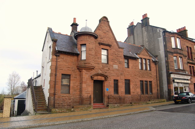
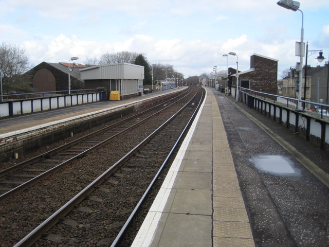
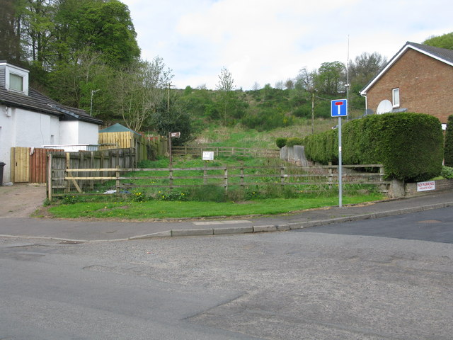
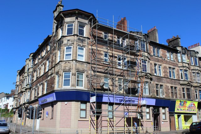
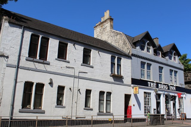
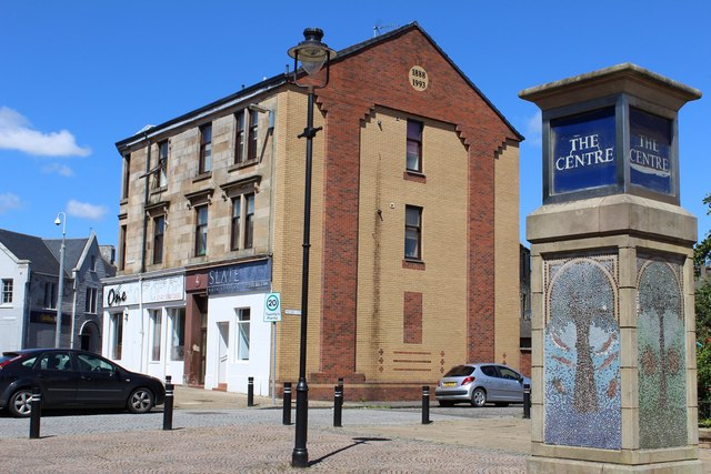
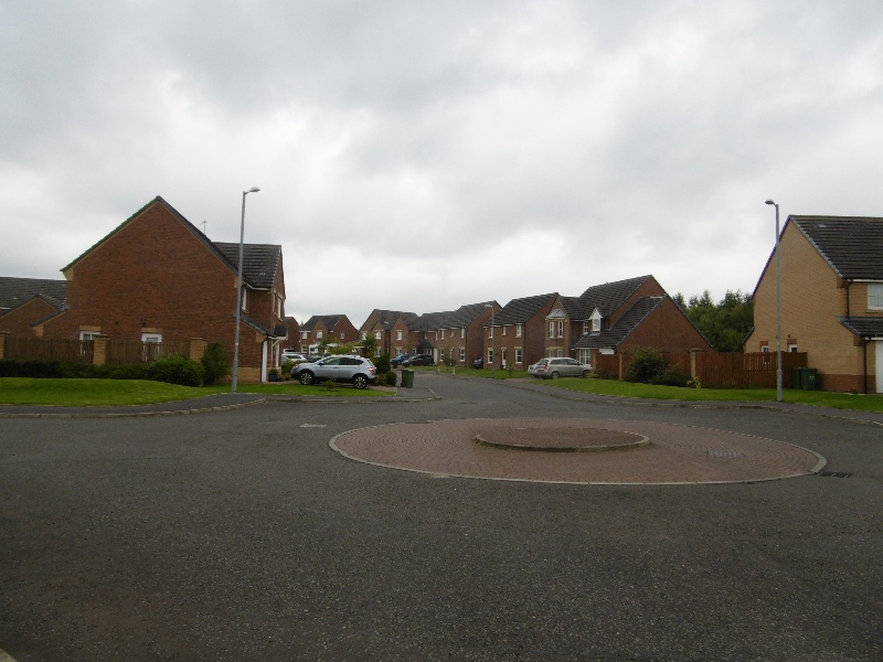
Dovecothall Images
Images are sourced within 2km of 55.805827/-4.37281 or Grid Reference NS5159. Thanks to Geograph Open Source API. All images are credited.


Dovecothall is located at Grid Ref: NS5159 (Lat: 55.805827, Lng: -4.37281)
Unitary Authority: East Renfrewshire
Police Authority: Greater Glasgow
What 3 Words
///kept.legs.bars. Near Barrhead, East Renfrewshire
Nearby Locations
Related Wikis

Dunterlie Park (1882–1906)
Dunterlie Park was a football ground in Barrhead, Scotland. It was the home ground of Arthurlie between 1882 and 1906, and was the first of three grounds...
The Open Museum
The Open Museum is a community museum in Glasgow, Scotland. The Open Museum is run out of the Glasgow Museums Resource Centre. It brings museum collections...

South Nitshill
South Nitshill (Scottish Gaelic: Cnoc nan Cnòthan a Deas) is a neighbourhood in the Scottish city of Glasgow. It is situated south of the River Clyde,...
Parkhouse, Glasgow G53
Parkhouse is a residential neighbourhood of Glasgow, Scotland close to the border with East Renfrewshire. It is located on the south-western edge of the...
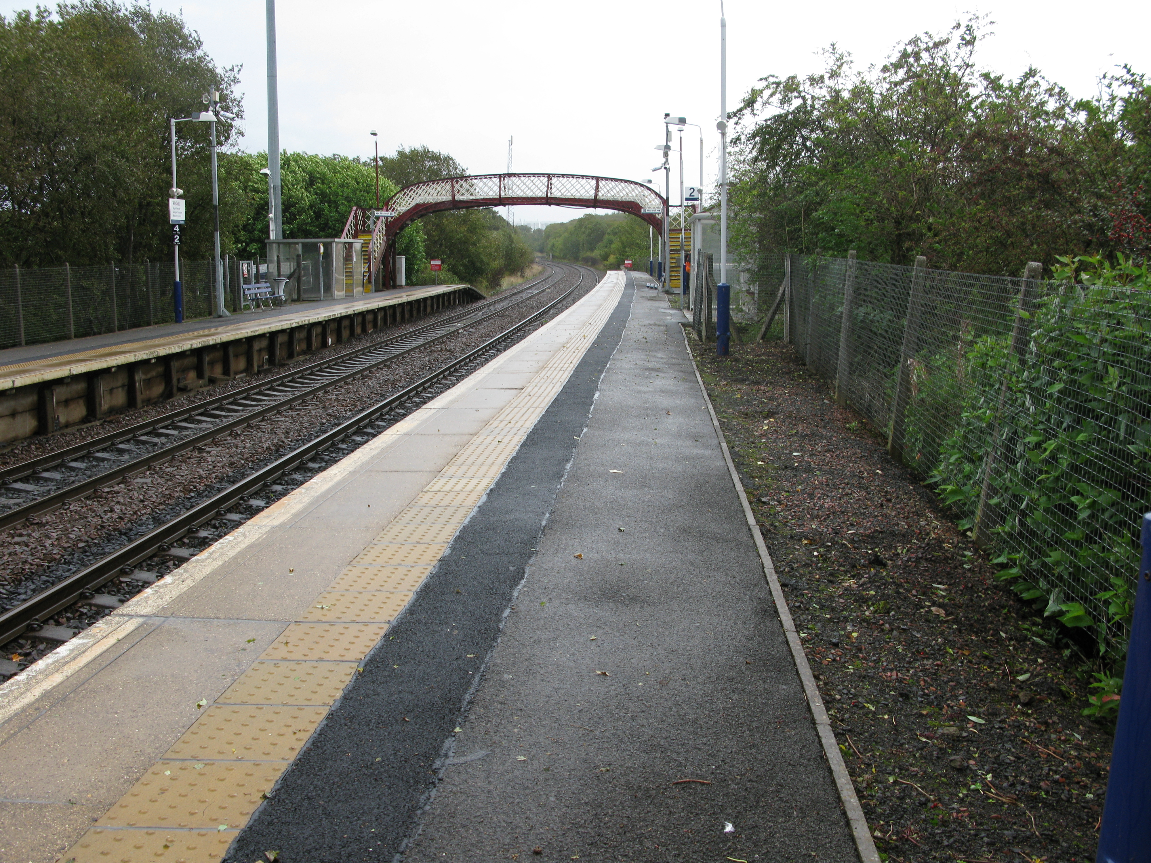
Nitshill railway station
Nitshill railway station is situated in Nitshill, a district of Glasgow, Scotland. The station is managed by ScotRail and is on the Glasgow South Western...

Barrhead
Barrhead (Scots: Baurheid, Scottish Gaelic: Ceann a' Bharra) is a town in East Renfrewshire, Scotland, thirteen kilometres (8 mi) southwest of Glasgow...

Nitshill
Nitshill (Scottish Gaelic: Cnoc nan Cnòthan) is a district on the south side of Glasgow. It is bordered by South Nitshill to the south, Darnley to the...
Dunterlie Park (1906–1919)
Dunterlie Park was a football ground in Barrhead, Scotland. It was the home ground of Arthurlie between 1906 and 1919, and was the second of three grounds...
Nearby Amenities
Located within 500m of 55.805827,-4.37281Have you been to Dovecothall?
Leave your review of Dovecothall below (or comments, questions and feedback).