Pessac Plantation
Wood, Forest in Yorkshire Harrogate
England
Pessac Plantation

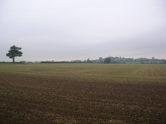
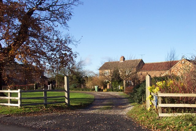
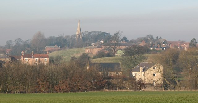
Pessac Plantation, located in Yorkshire, England, is a picturesque woodland area known for its natural beauty and rich history. It is situated in the heart of the county, covering an expansive area of lush greenery and towering trees. The plantation is specifically located in the village of Pessac, which adds to its charm and tranquility.
The woodland in Pessac Plantation is predominantly composed of deciduous trees, including oak, beech, and ash, creating a diverse and vibrant ecosystem. The foliage provides a stunning display of colors during autumn, attracting visitors from near and far. The plantation is also home to various wildlife species, such as deer, rabbits, and a wide array of birds, making it a haven for nature enthusiasts and birdwatchers.
In addition to its natural allure, Pessac Plantation boasts a rich historical heritage. The plantation has been in existence for centuries, dating back to medieval times. It has witnessed numerous significant events and changes, serving various purposes over the years, including timber production and hunting grounds for local aristocracy.
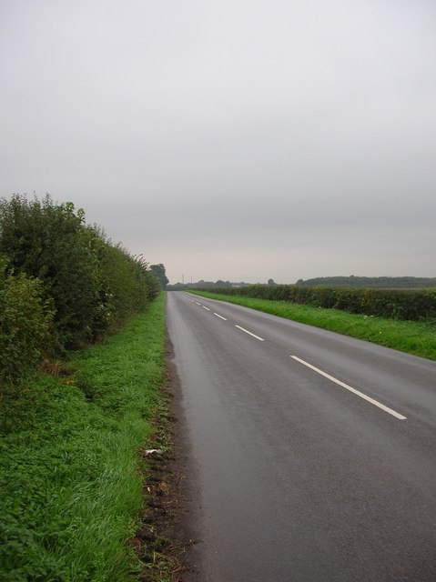
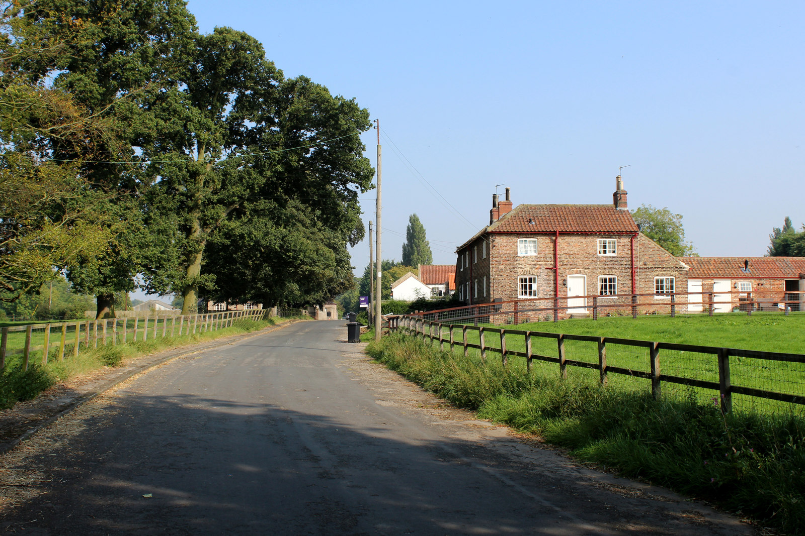
Today, Pessac Plantation offers a range of recreational activities for visitors to enjoy. There are well-maintained walking trails that wind through the woodland, providing an opportunity to explore the plantation's natural wonders. The plantation also features picnic areas, making it an ideal spot for families and friends to gather and enjoy a day out in nature.
Overall, Pessac Plantation in Yorkshire is a captivating destination that seamlessly combines natural beauty with a rich historical legacy, offering a tranquil and memorable experience for all who venture within its wooded embrace.
If you have any feedback on the listing, please let us know in the comments section below.
Pessac Plantation Images
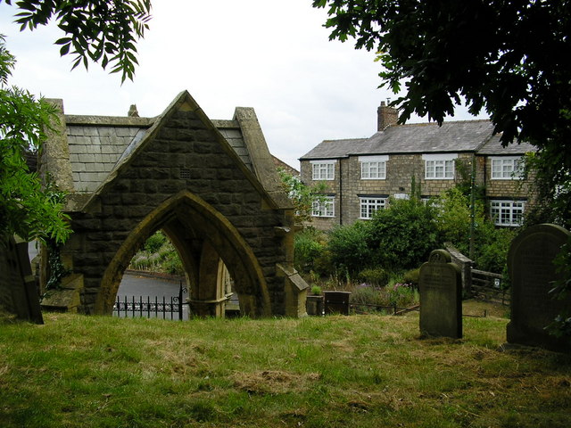
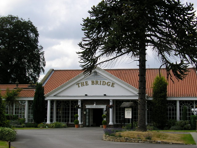
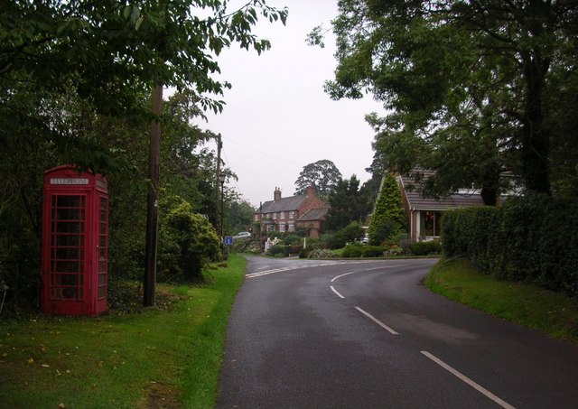
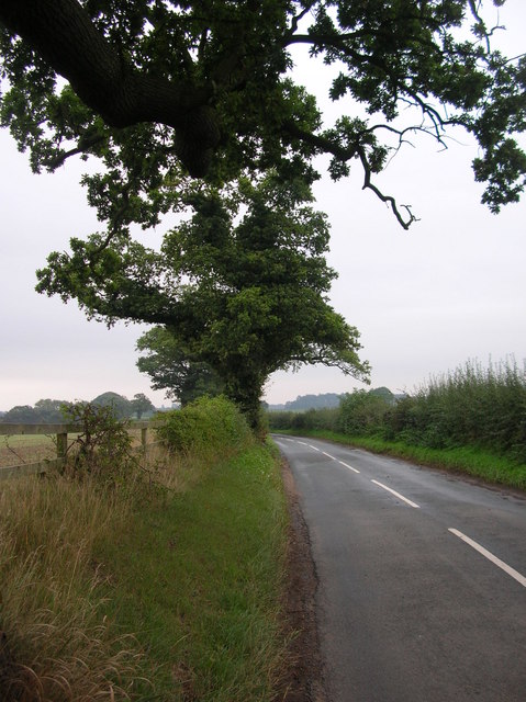
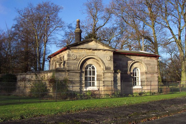
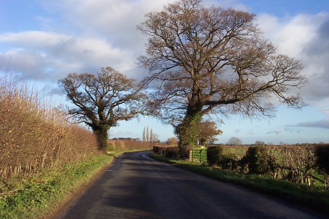
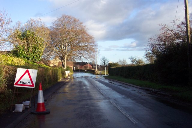
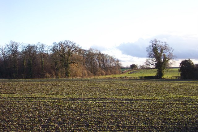
Images are sourced within 2km of 53.980363/-1.3483361 or Grid Reference SE4254. Thanks to Geograph Open Source API. All images are credited.


Pessac Plantation is located at Grid Ref: SE4254 (Lat: 53.980363, Lng: -1.3483361)
Division: West Riding
Administrative County: North Yorkshire
District: Harrogate
Police Authority: North Yorkshire
What 3 Words
///blast.confusion.column. Near Walton, West Yorkshire
Nearby Locations
Related Wikis
Hunsingore
Hunsingore is a village and civil parish in the Harrogate district of North Yorkshire, England. It is situated near the River Nidd and the A1(M) motorway...

St Michael's Church, Cowthorpe
St Michael's Church is a redundant church in the village of Cowthorpe, North Yorkshire, England. It is recorded in the National Heritage List for England...
Walshford
Walshford is a hamlet in the civil parish of Great Ribston with Walshford, in the Harrogate district, in the county of North Yorkshire, England. The hamlet...
Cowthorpe
Cowthorpe is a village in the civil parish of Tockwith, in North Yorkshire, England. It is situated 3 miles (4.8 km) north of Wetherby, 10 miles (16 km...
Nearby Amenities
Located within 500m of 53.980363,-1.3483361Have you been to Pessac Plantation?
Leave your review of Pessac Plantation below (or comments, questions and feedback).