Ash Plantation
Wood, Forest in Yorkshire
England
Ash Plantation

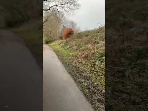
Ash Plantation is a 200-acre woodland located in the picturesque region of Yorkshire, England. Situated on the outskirts of a small village, it is a popular destination for nature enthusiasts and locals alike. The plantation primarily consists of ash trees, hence its name, but is also home to a diverse range of other tree species, including oak, birch, and beech.
The woodland is a thriving ecosystem, providing habitat for a variety of wildlife. Visitors to Ash Plantation can spot a wide array of bird species, such as woodpeckers, owls, and thrushes, as well as small mammals like foxes, rabbits, and squirrels. The presence of a nearby stream adds to the biodiversity, attracting amphibians such as frogs and newts.
Walking trails wind through the plantation, offering visitors the opportunity to explore its natural beauty. These paths are well-maintained and suitable for all abilities, making it accessible for families, hikers, and nature lovers. Additionally, designated picnic areas and benches are strategically placed throughout the woodland, providing a perfect spot to rest and enjoy the peaceful surroundings.
Ash Plantation is also actively managed for conservation purposes. Regular tree thinning and maintenance are carried out to ensure the health and longevity of the woodland. Local volunteers and forestry experts collaborate to maintain a sustainable balance, allowing both flora and fauna to thrive.
Overall, Ash Plantation is a serene and biodiverse woodland, providing a tranquil escape from the hustle and bustle of everyday life. Its natural beauty, diverse wildlife, and well-marked trails make it an ideal destination for those seeking to connect with nature in Yorkshire.
If you have any feedback on the listing, please let us know in the comments section below.
Ash Plantation Images
Images are sourced within 2km of 53.799172/-1.3530907 or Grid Reference SE4233. Thanks to Geograph Open Source API. All images are credited.


Ash Plantation is located at Grid Ref: SE4233 (Lat: 53.799172, Lng: -1.3530907)
Division: West Riding
Unitary Authority: Leeds
Police Authority: West Yorkshire
What 3 Words
///legs.sprinkler.coach. Near Garforth, West Yorkshire
Nearby Locations
Related Wikis

Sturton Grange
Sturton Grange is a civil parish in the City of Leeds in West Yorkshire, England. It has a population of 417, reducing to 403 at the 2011 Census.Most of...

Garforth Town A.F.C.
Garforth Town Association Football Club is a football club based in Garforth, West Yorkshire, England. They are members of the Northern Counties East League...
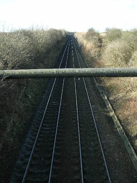
Roman Road railway station (Yorkshire)
Roman Road railway station was a station on the Leeds and Selby Railway, near Micklefield, in West Yorkshire, England. The station was one of the shortest...

East Garforth railway station
East Garforth railway station serves Garforth in West Yorkshire, England. It is on the Selby Line, and operated by Northern. The station was opened by...
Micklefield
Micklefield is a village and civil parish in the City of Leeds in West Yorkshire, England. It neighbours Garforth, Aberford and Brotherton and is close...

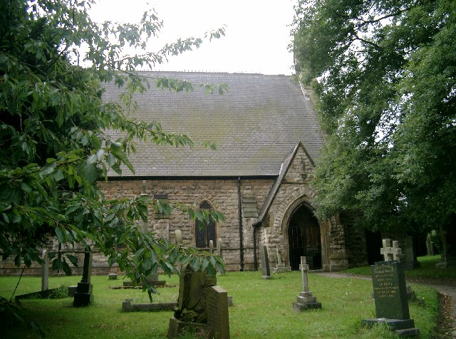
St Mary's Church, Garforth
The Church of St Mary the Blessed Virgin in Garforth, West Yorkshire, England is an active Anglican parish church in the archdeaconry of Leeds and the...
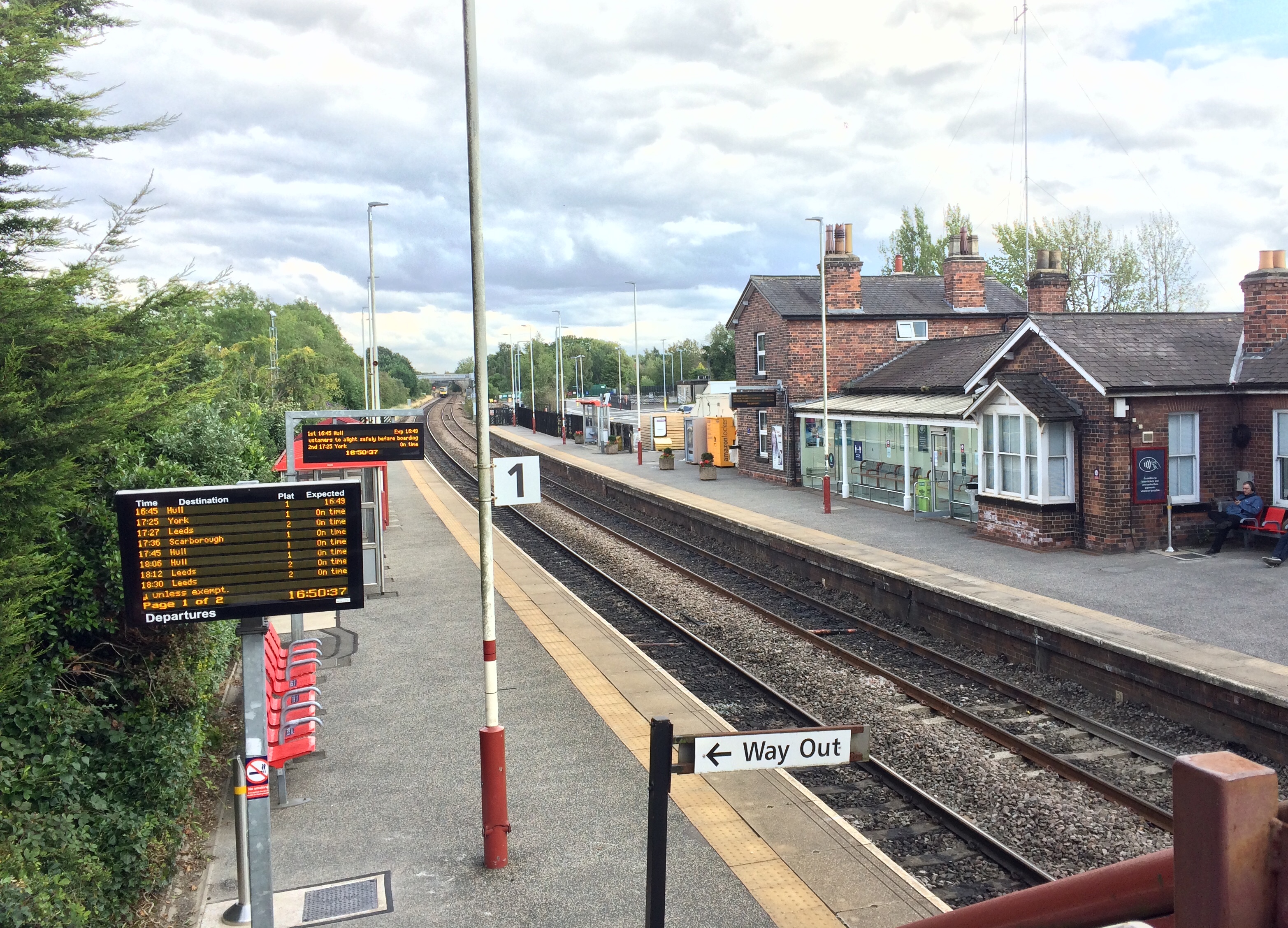
Garforth railway station
Garforth railway station serves the town of Garforth in West Yorkshire, England. It is one of the two stations in Garforth the other being East Garforth...

Micklefield railway station
Micklefield railway station serves the village of Micklefield, near Garforth in West Yorkshire, England. It lies on the Selby and York Lines, operated...
Related Videos

A day with Ginetta Cars!
ginetta #motorsport #formula1 #cars #f1inschools #f1 #trendingshorts #car #trackday #girlsontrack #travel #worldfinals.
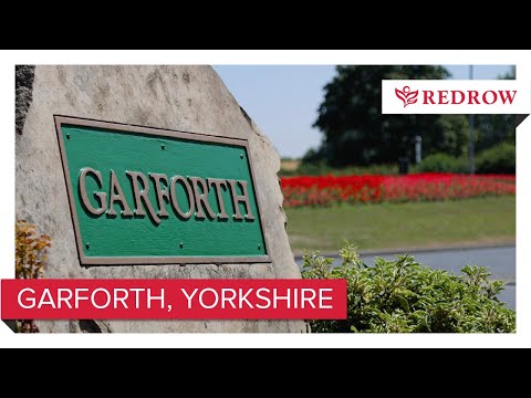
Redrow New Homes - Garforth
Discover Garforth, located in the heart of West Yorkshire and surrounded by spaces to relax and enjoy for all the family.

Nearby Amenities
Located within 500m of 53.799172,-1.3530907Have you been to Ash Plantation?
Leave your review of Ash Plantation below (or comments, questions and feedback).