Pasture Wood
Wood, Forest in Leicestershire North West Leicestershire
England
Pasture Wood
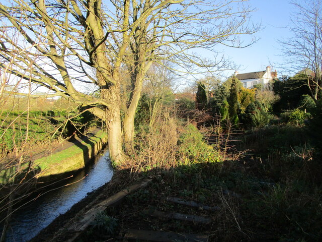
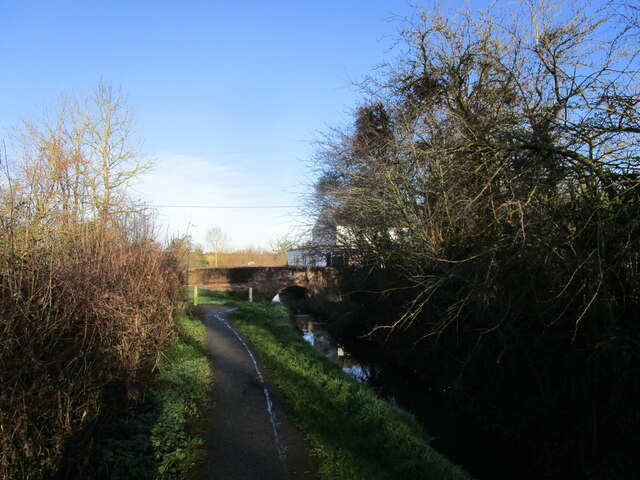
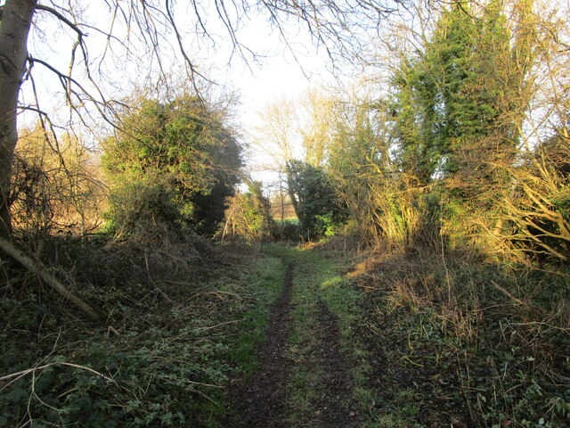
Pasture Wood is a picturesque woodland located in Leicestershire, England. Covering an area of approximately 100 acres, it is a popular destination for nature lovers and outdoor enthusiasts alike. The wood is situated near the village of Pasture, hence its name, and is easily accessible by both car and foot.
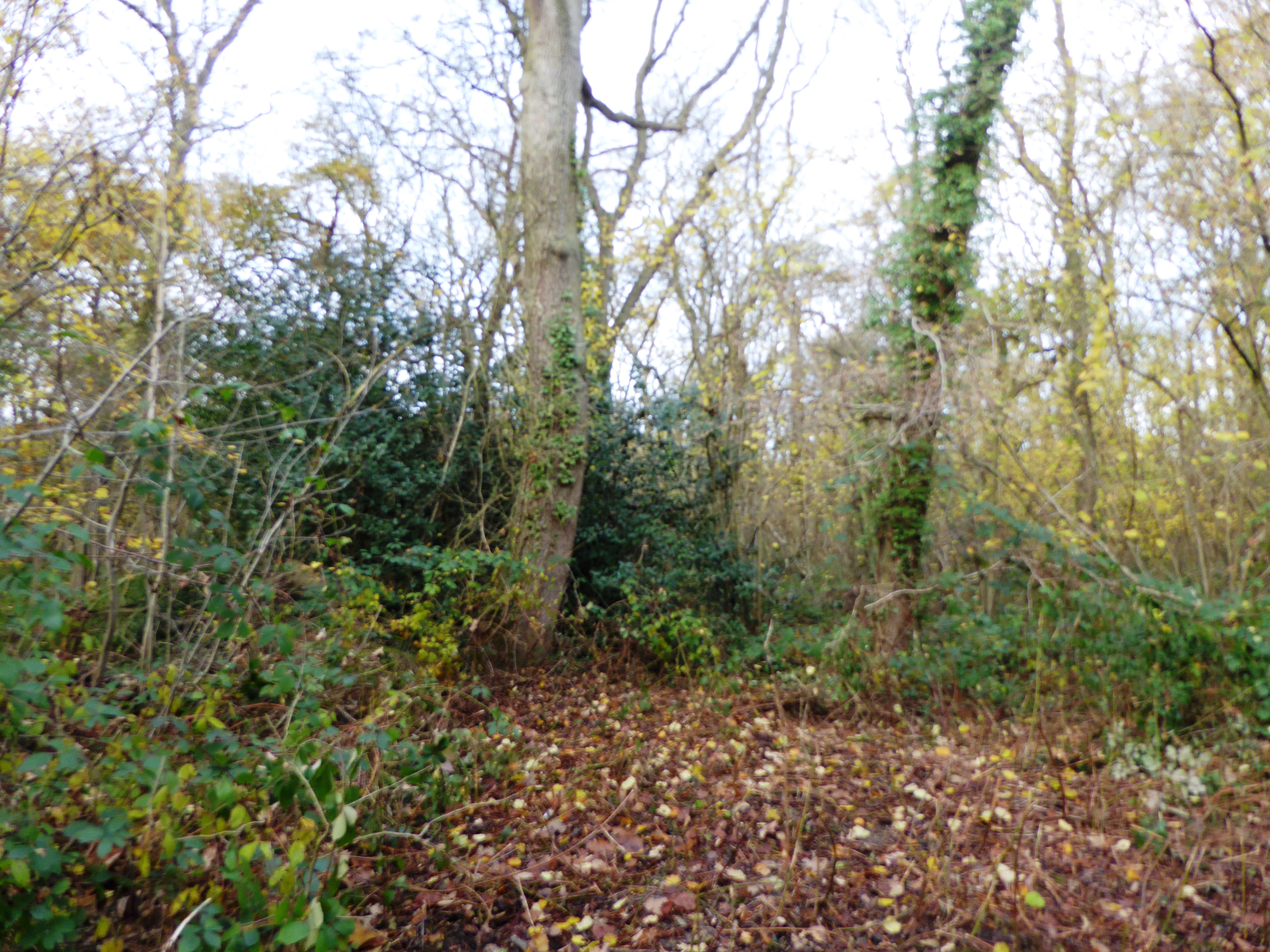
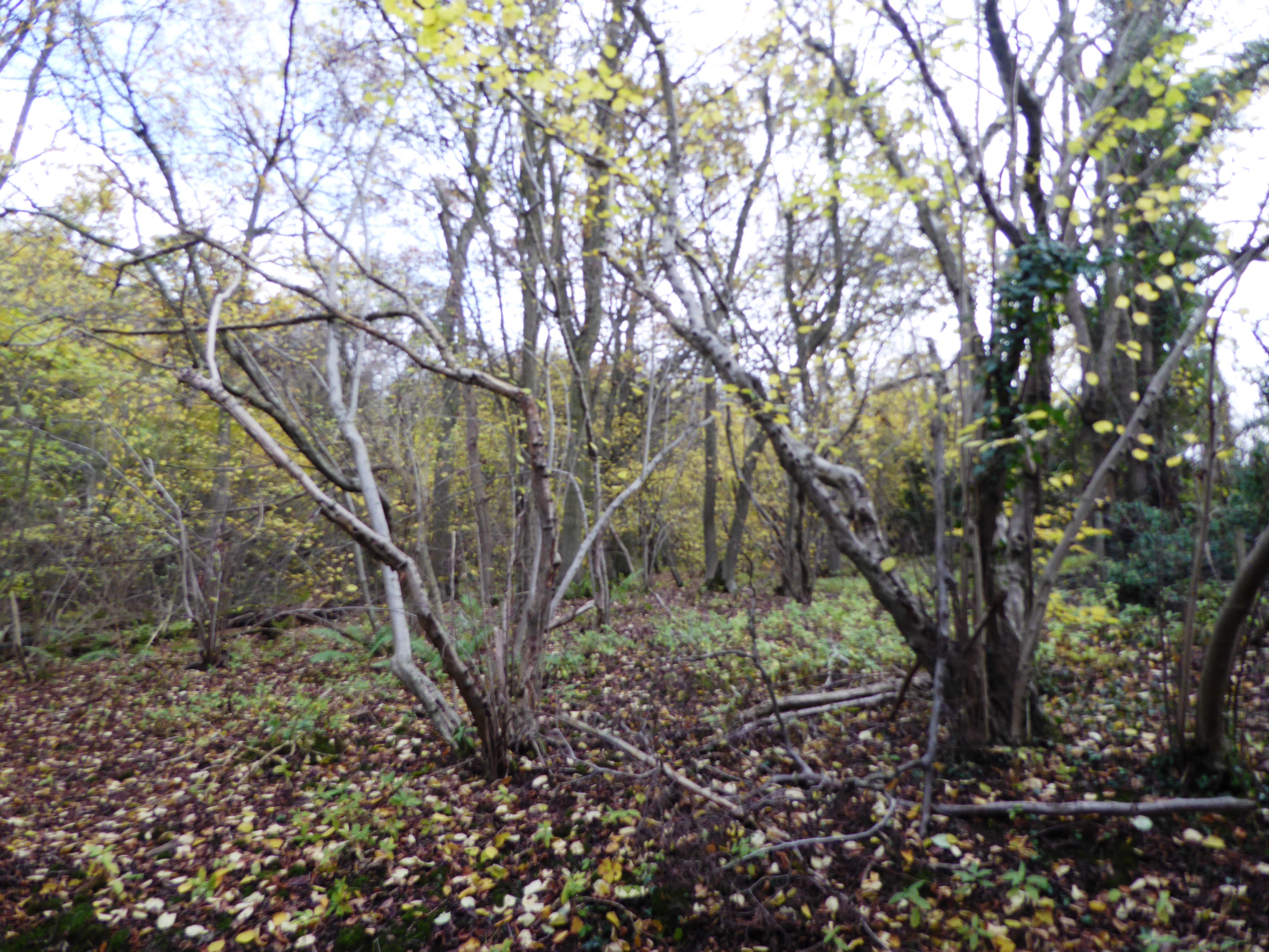
The woodland is characterized by a diverse range of tree species, including oak, birch, beech, and pine. The canopy formed by these trees provides a cool and shaded environment, perfect for escaping the summer heat. The forest floor is rich with a variety of wildflowers and ferns, adding to the beauty and tranquility of the surroundings.
Pasture Wood is also home to a thriving ecosystem, supporting a wide array of wildlife. Visitors may come across various bird species, such as woodpeckers, owls, and songbirds, as well as small mammals like squirrels and rabbits. If lucky, one might even spot a deer or two roaming through the undergrowth.
Several walking trails and paths crisscross the woodland, allowing visitors to explore its natural beauty at their leisure. These trails range in difficulty, catering to both casual strollers and more experienced hikers. Along the way, informative signposts provide interesting facts about the flora and fauna found in Pasture Wood.
Overall, Pasture Wood offers a peaceful and enchanting retreat for those seeking a connection with nature. Its lush vegetation, diverse wildlife, and well-maintained trails make it an ideal destination for outdoor recreation and a must-visit location for any nature enthusiast in Leicestershire.
If you have any feedback on the listing, please let us know in the comments section below.
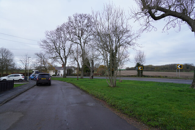
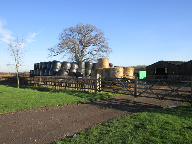
Pasture Wood Images
Images are sourced within 2km of 52.787359/-1.3718555 or Grid Reference SK4221. Thanks to Geograph Open Source API. All images are credited.


Pasture Wood is located at Grid Ref: SK4221 (Lat: 52.787359, Lng: -1.3718555)
Administrative County: Leicestershire
District: North West Leicestershire
Police Authority: Leicestershire
What 3 Words
///choirs.lashed.sniff. Near Melbourne, Derbyshire
Nearby Locations
Related Wikis
Pasture and Asplin Woods
Pasture and Asplin Woods is a 40.9 hectares (101 acres) biological Site of Special Scientific Interest west of Belton in Leicestershire.These ancient woods...
Breedon Cloud Wood and Quarry
Breedon Cloud Wood and Quarry is a 63.3 hectares (156 acres) biological and geological Site of Special Scientific Interest north-east of Worthington in...
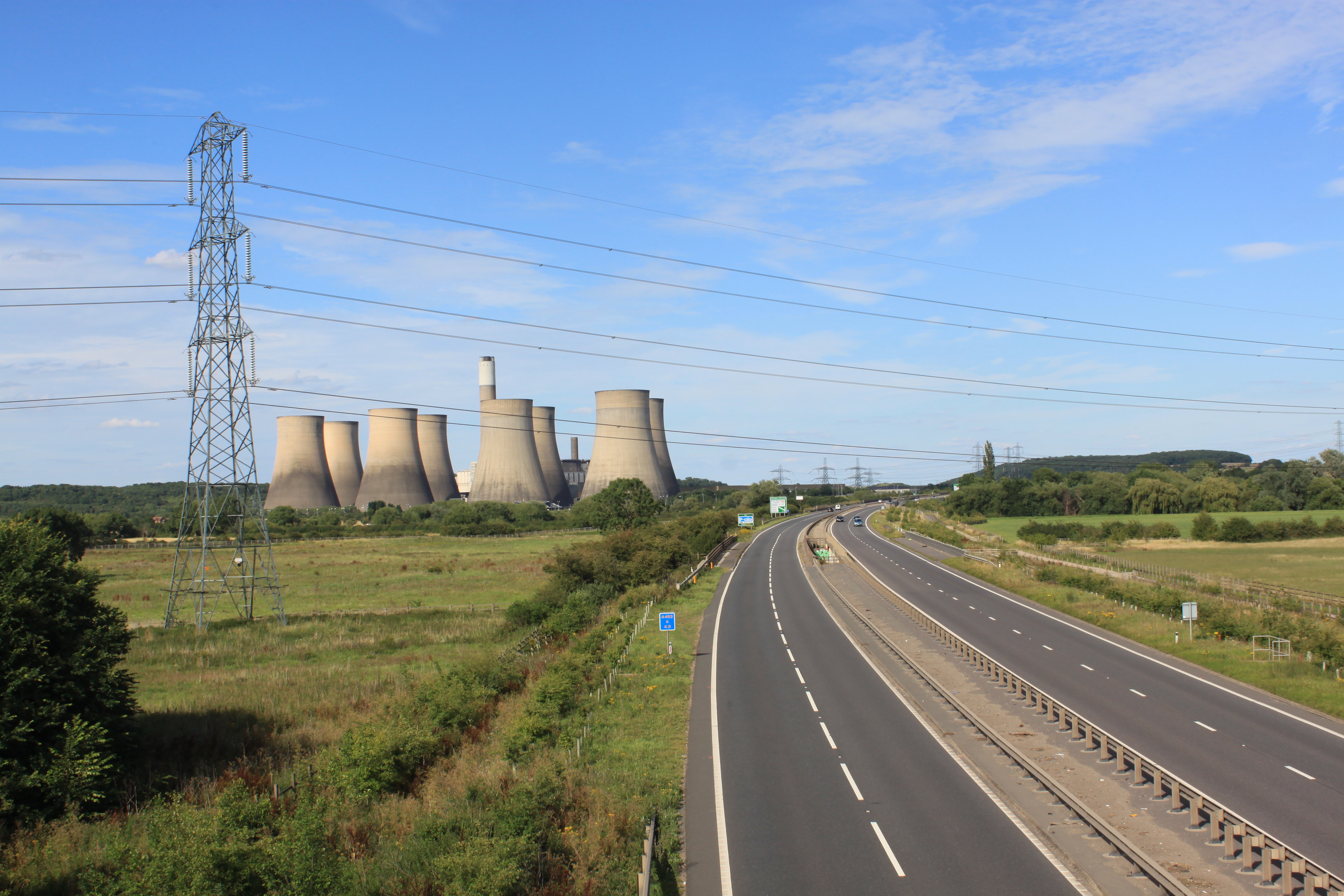
A453 road
The A453 road was formerly the main trunk road connecting the English cities of Nottingham and Birmingham. However, the middle section of this mainly single...

Worthington railway station
Worthington railway station was a station at Worthington, Leicestershire, England. == History == The station opened on 1 October 1869 when the Midland...
Osgathorpe
Osgathorpe is a small village which lies in a fold of the hills in North West Leicestershire, England, and is about a quarter of a mile from the A512 Coalville...

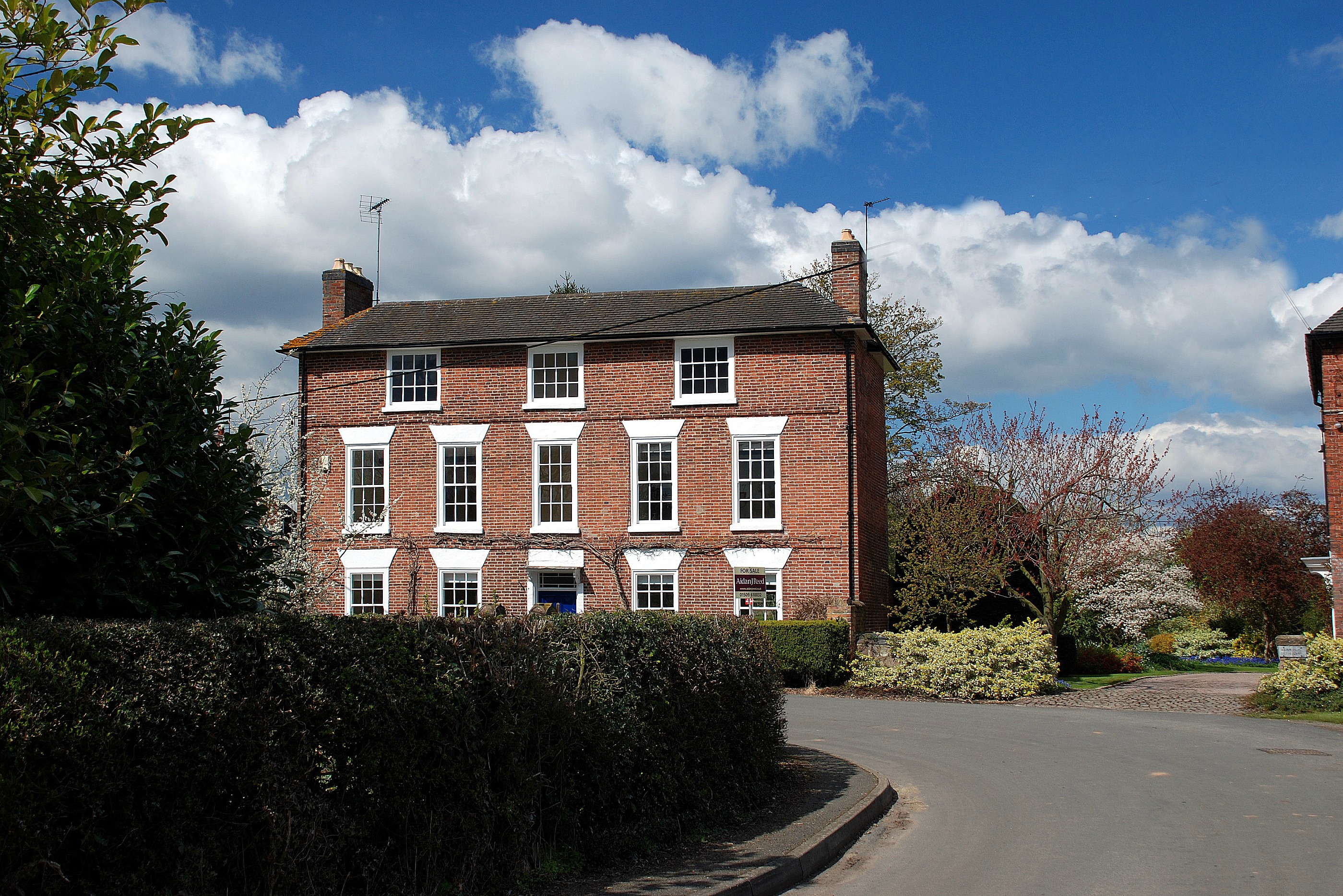
Worthington, Leicestershire
Worthington is a village and civil parish in North West Leicestershire, England, about 4 miles (6.4 km) north of the town of Coalville and a similar distance...
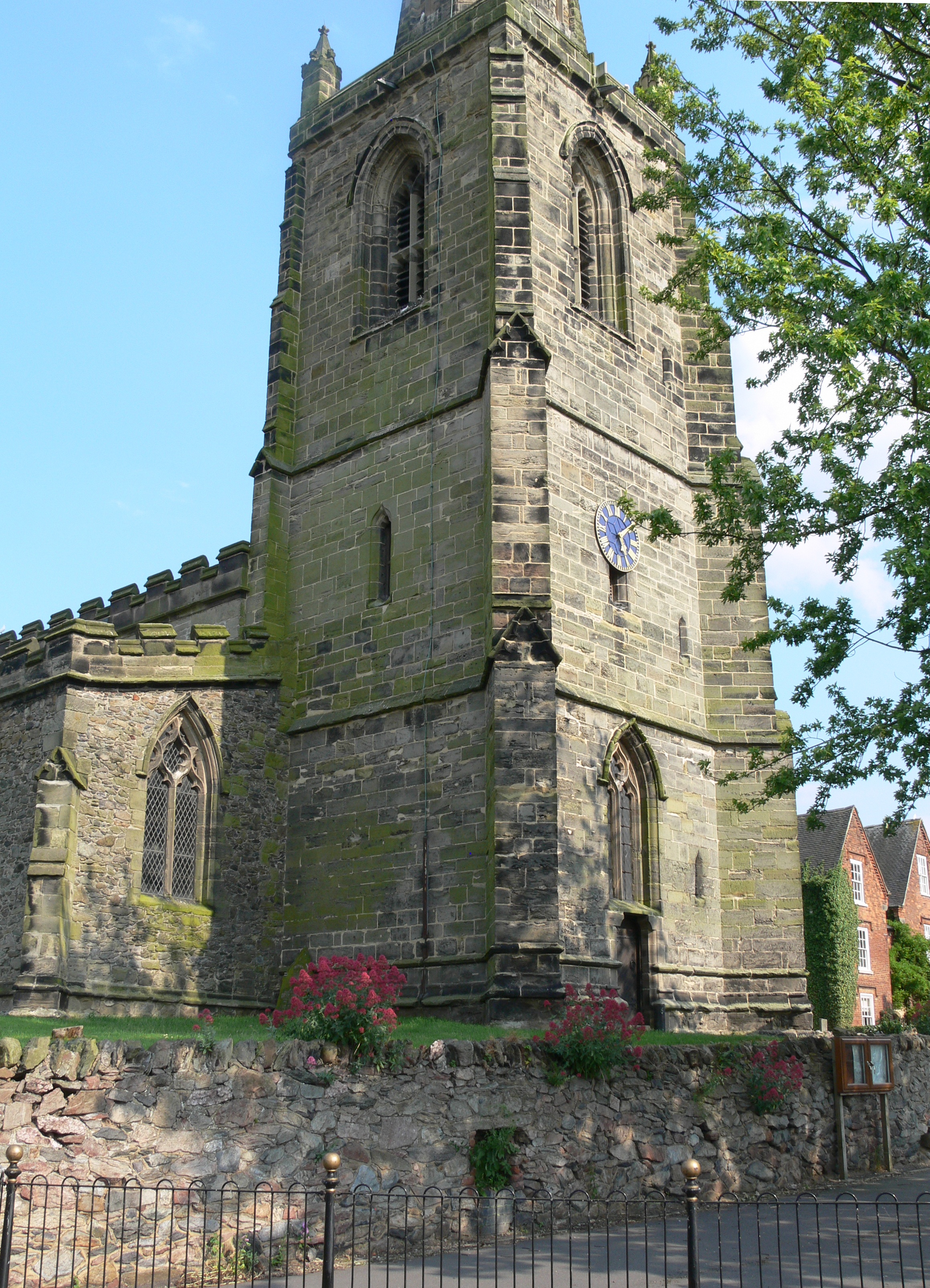
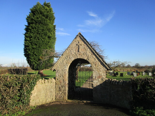
Church of St John the Baptist, Belton
The Church of St John the Baptist is a church in Belton, Leicestershire. It is a Grade II* listed building. == History == The church is built in the Early...

Belton, Leicestershire
Belton is a small village and civil parish in the North West Leicestershire district of Leicestershire, England. The village is located approximately 2...
Nearby Amenities
Located within 500m of 52.787359,-1.3718555Have you been to Pasture Wood?
Leave your review of Pasture Wood below (or comments, questions and feedback).