Minstrel Spinney
Wood, Forest in Warwickshire Rugby
England
Minstrel Spinney
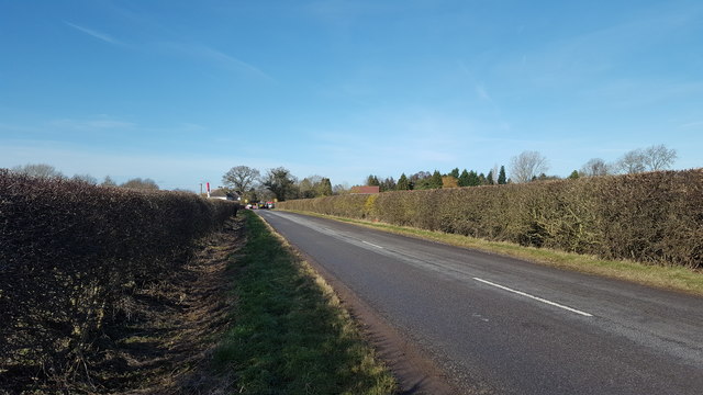
Minstrel Spinney is a charming woodland area located in Warwickshire, England. Stretching over a vast area, this forest is a picturesque retreat for nature enthusiasts and those seeking tranquility amidst the lush greenery. The woodland is situated near the village of Wood, which adds to its rustic charm.
As you step foot into Minstrel Spinney, you are immediately greeted by a dense canopy of towering trees, predominantly oak and beech. The forest floor is blanketed with a rich carpet of moss, wildflowers, and ferns, creating a vibrant and magical atmosphere. The sunlight filters through the thick foliage, casting enchanting shadows on the forest floor.
The woodland is home to a diverse array of wildlife, making it a haven for nature lovers. Visitors may spot various bird species, including woodpeckers, owls, and thrushes, flitting among the treetops. Squirrels scurrying up tree trunks and rabbits darting through the undergrowth add to the lively ecosystem.
Minstrel Spinney offers numerous walking trails, allowing visitors to explore its hidden treasures. These paths wind through the forest, revealing picturesque views, babbling brooks, and quiet spots perfect for a picnic or meditation. The peacefulness of the woodland is only interrupted by the gentle rustling of leaves and the occasional chirping of birds.
With its natural beauty and serene ambience, Minstrel Spinney is a true gem in Warwickshire. Whether one seeks solitude, a family outing, or simply a respite from the hustle and bustle of daily life, this woodland offers a rejuvenating experience in the heart of nature.
If you have any feedback on the listing, please let us know in the comments section below.
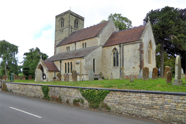
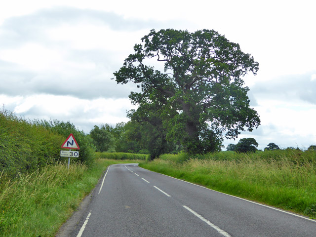
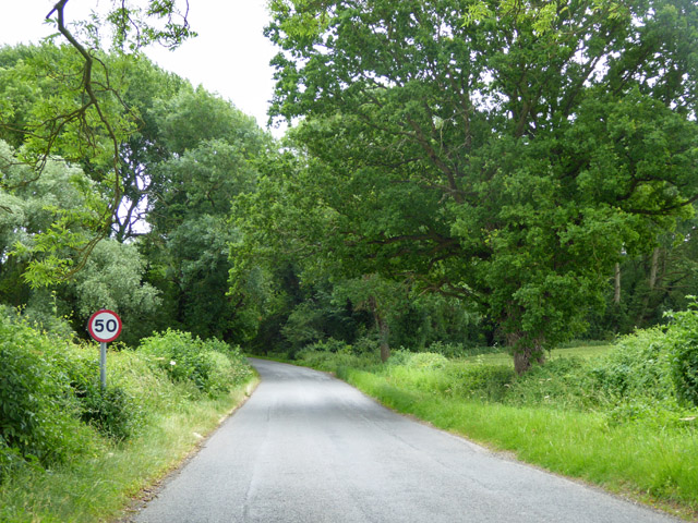
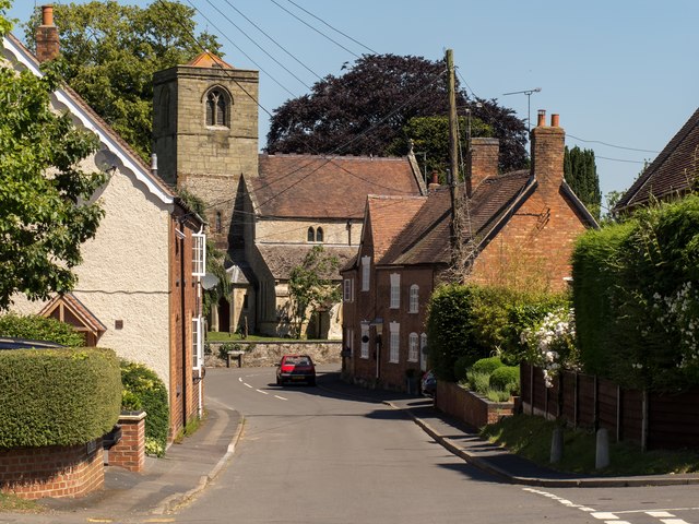
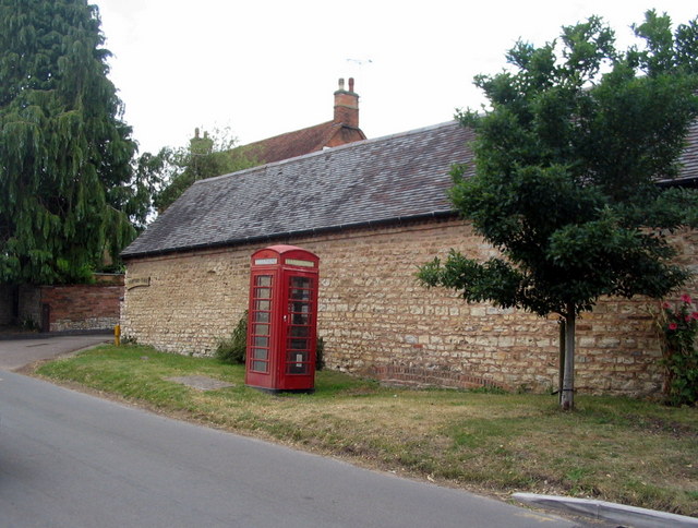
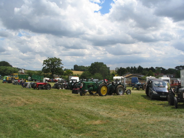
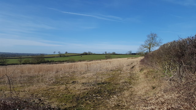
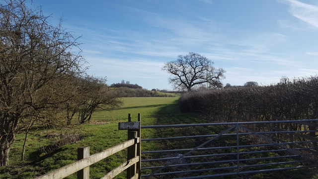
Minstrel Spinney Images
Images are sourced within 2km of 52.32085/-1.3785676 or Grid Reference SP4269. Thanks to Geograph Open Source API. All images are credited.


Minstrel Spinney is located at Grid Ref: SP4269 (Lat: 52.32085, Lng: -1.3785676)
Administrative County: Warwickshire
District: Rugby
Police Authority: Warwickshire
What 3 Words
///turkey.riding.wired. Near Long Itchington, Warwickshire
Nearby Locations
Related Wikis
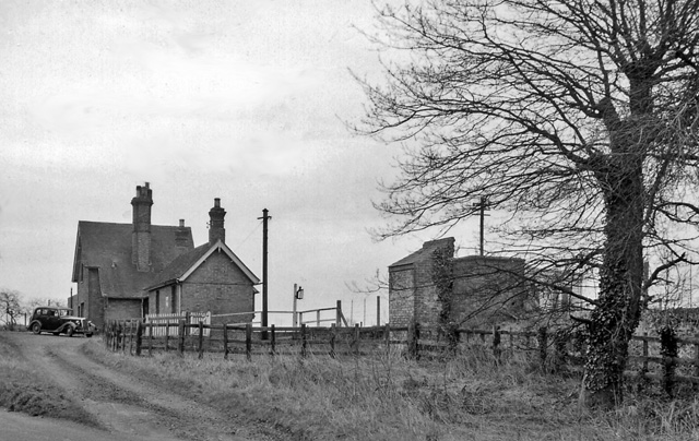
Birdingbury railway station
Birdingbury railway station was a railway station serving Birdingbury in the English county of Warwickshire on the Rugby to Leamington line. Among the...
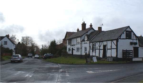
Frankton, Warwickshire
Frankton is a village and civil parish in the Rugby borough of Warwickshire in England. In the 2001 Census it had a population of 344, increasing to 351...
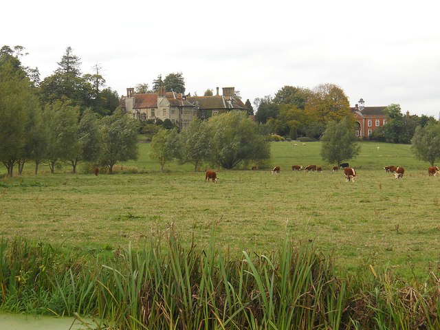
Birdingbury Hall
Birdingbury Hall is a 17th-century country house situated at Birdingbury, near Rugby, Warwickshire. It is a Grade II listed building and now serves as...
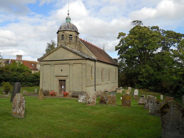
Birdingbury
Birdingbury is a village and civil parish in the Rugby district of Warwickshire, England, just south of the River Leam, and not far from Draycote Water...

Bourton-on-Dunsmore
Bourton-on-Dunsmore is a small village in Warwickshire, England. It is within the civil parish of Bourton and Draycote, along with the nearby hamlet of...

Bourton and Draycote
Bourton and Draycote is a civil parish in the Rugby borough of Warwickshire, England which consists of the villages of Bourton-on-Dunsmore and Draycote...

Marton railway station (Warwickshire)
Marton railway station was a railway station serving Marton in the English county of Warwickshire on the Rugby to Leamington line. Among the many schemes...
Marton, Warwickshire
Marton is a village and civil parish in Warwickshire, England. The parish is within the Borough of Rugby and in the 2011 Census' had a population of 484...
Nearby Amenities
Located within 500m of 52.32085,-1.3785676Have you been to Minstrel Spinney?
Leave your review of Minstrel Spinney below (or comments, questions and feedback).