Hungry Hill Plantation

Wood, Forest in Yorkshire Hambleton

England

Hungry Hill Plantation

Farmland Beside The Railway Near Welbury
Farmland Beside The Railway Near Welbury Credit: David Robinson

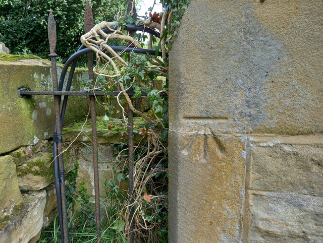
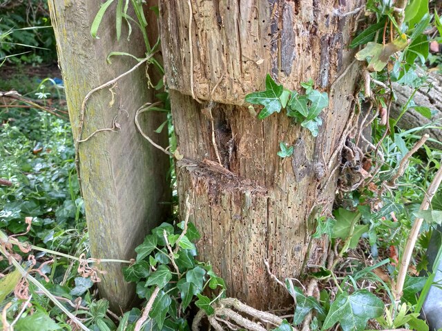
Hungry Hill Plantation is a picturesque woodland located in Yorkshire, England. Situated in the heart of the county, the plantation is known for its dense foliage and sprawling forested areas. Covering an expansive area, it is a haven for nature enthusiasts and hikers alike.

The plantation is characterized by its diverse range of tree species, including oak, beech, and ash, which provide a stunning display of vibrant colors throughout the year. The forest floor is adorned with a variety of wildflowers, adding to the natural beauty of the area.

The hilly terrain of Hungry Hill Plantation offers breathtaking views of the surrounding countryside, making it a popular spot for photography enthusiasts. The crisp, clean air and tranquil atmosphere make it an ideal location for those seeking a peaceful retreat from the hustle and bustle of everyday life.

The plantation is home to a variety of wildlife, including deer, foxes, and a plethora of bird species. Birdwatchers flock to the area to catch a glimpse of rare and migratory birds that visit the plantation throughout the year.

Hungry Hill Plantation offers a network of well-maintained walking trails, allowing visitors to explore the enchanting woodland at their own pace. These trails vary in difficulty, catering to both novice and experienced hikers.

Overall, Hungry Hill Plantation is a natural gem in Yorkshire, offering a breathtaking blend of beauty, tranquility, and biodiversity. Whether one seeks solace in nature or wishes to embark on an adventurous hike, this woodland provides an unforgettable experience for all who visit.

If you have any feedback on the listing, please let us know in the comments section below.

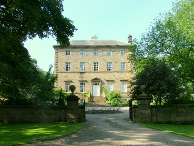
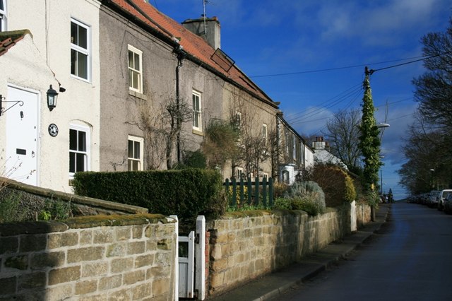
Hungry Hill Plantation Images

Images are sourced within 2km of 54.417613/-1.3479258 or Grid Reference NZ4202. Thanks to Geograph Open Source API. All images are credited.

Farmland Beside The Railway Near Welbury
West Rounton, St Oswald's This is the extreme left of the west facing wall of the church. There is a benchmark cut into 2 cornerstones.
West Rounton, St Oswald's
This is the extreme left of the west facing wall of the church. There is a benchmark cut into 2 cornerstones.
West Rounton, St Oswald's A wider angle showing the west facing wall of the church with the tower. On the extreme left of this wall, there is a benchmark cut into 2 cornerstones.
West Rounton, St Oswald's
A wider angle showing the west facing wall of the church with the tower. On the extreme left of this wall, there is a benchmark cut into 2 cornerstones.
Ingleby Arncliffe Services on the A19
East Harlsey, Low Moor Lane According to the OS benchmark database there was a gatepost at this location with a benchmark. Having cut away the creepers from a very old wooden gatepost I was disappointed not to find the remains of a cut mark. Some wood has rotted in an area where the mark is likely to have been, but today it is completely indistinguishable.
East Harlsey, Low Moor Lane
According to the OS benchmark database there was a gatepost at this location with a benchmark. Having cut away the creepers from a very old wooden gatepost I was disappointed not to find the remains of a cut mark. Some wood has rotted in an area where the mark is likely to have been, but today it is completely indistinguishable.
Cut Bench Mark East Rounton Bridge This Ordnance survey mark was used as part of the levelling process for the OS map of 1911. The height recorded was 188.8ft above the mean sea level at Liverpool.
Cut Bench Mark East Rounton Bridge
This Ordnance survey mark was used as part of the levelling process for the OS map of 1911. The height recorded was 188.8ft above the mean sea level at Liverpool.
Ordnance Survey Cut Bench Mark This Ordnance Survey mark was used as part of the levelling process for the OS map of 1911. The height recorded was 237.5ft above the mean sea level at Liverpool.
Ordnance Survey Cut Bench Mark
This Ordnance Survey mark was used as part of the levelling process for the OS map of 1911. The height recorded was 237.5ft above the mean sea level at Liverpool.
Ordnance Survey Cut Bench Mark This Ordnance Survey mark was used as part of the levelling process for the OS map of 1891. The height recorded was 238.6ft above the mean sea level at Liverpool.
Ordnance Survey Cut Bench Mark
This Ordnance Survey mark was used as part of the levelling process for the OS map of 1891. The height recorded was 238.6ft above the mean sea level at Liverpool.
A19 lay-by
A19 lay-by
Lane to East Rounton This road leads directly off the A19 northbound.
Lane to East Rounton
This road leads directly off the A19 northbound.
Field south of Old Lane  Looking east towards the A19 and Hambleton Hills.
Field south of Old Lane
Looking east towards the A19 and Hambleton Hills.
View towards the Hambleton Hills from near East Rounton The line of trees marks the route of a stream that is crossed by the A19 at Trenholme Bridge - one lorry can be seen on the main road approaching the bridge.
View towards the Hambleton Hills from near East Rounton
The line of trees marks the route of a stream that is crossed by the A19 at Trenholme Bridge - one lorry can be seen on the main road approaching the bridge.
Road junction approaching the A19 Old Lane used to connect to the A19 in both directions at the junction in the distance, but when the trunk road became dual carriageway, a bridge was built to divert this cross route over it. Traffic wanting to head south has to turn left here, cross the bridge and rejoin the main road on the other side.
Road junction approaching the A19
Old Lane used to connect to the A19 in both directions at the junction in the distance, but when the trunk road became dual carriageway, a bridge was built to divert this cross route over it. Traffic wanting to head south has to turn left here, cross the bridge and rejoin the main road on the other side.
Reed bed at Black Swan junction  Shown as a "reservoir" on large scale maps, this is probably intended as primary treatment for polluted storm runoff from the A19 nearby. The bulrushes were quite magnificent.
Reed bed at Black Swan junction
Shown as a "reservoir" on large scale maps, this is probably intended as primary treatment for polluted storm runoff from the A19 nearby. The bulrushes were quite magnificent.
Field north of Old Lane Between the road and the field is a patch of waste land overtaken by bindweed.
Field north of Old Lane
Between the road and the field is a patch of waste land overtaken by bindweed.
Track to Sydal Lodge Used by Wainwright's Coast to Coast Walk.
Track to Sydal Lodge
Used by Wainwright's Coast to Coast Walk.
Cattle and barns, Sydal Lodge
Barns at Grinkle Carr
Show me another place!

Hungry Hill Plantation is located at Grid Ref: NZ4202 (Lat: 54.417613, Lng: -1.3479258)

Division: North Riding

Administrative County: North Yorkshire

District: Hambleton

Police Authority: North Yorkshire

What 3 Words

///caressed.croutons.decks. Near Brompton, North Yorkshire

Related Wikis

East Rounton

East Rounton is a village and civil parish in the Hambleton District of North Yorkshire, England. It is about 1 mile (1.6 km) west of the A19 and 8 miles...

West Rounton

West Rounton is a village and civil parish in North Yorkshire, England. It is 8 miles (13 km) north of Northallerton. East Rounton is about 1-mile (1.6...

West Rounton Gates railway station

West Rounton Gates railway station, was a railway station between Welbury and Picton railway stations on the Leeds Northern Railway in the Hambleton District...

Welbury railway station

Welbury railway station was a railway station serving the village of Welbury in North Yorkshire, England. Located on the Northallerton to Eaglescliffe...

Welbury

Welbury is a village and civil parish in the Hambleton district of North Yorkshire, England. It is about 1 mile (1.6 km) south of Appleton Wiske and 8...

Trenholme Bar railway station

Trenholme Bar railway station was a railway station built to serve the hamlet of Trenholme Bar in North Yorkshire, England. The station was on the North...

Ingleby Arncliffe

Ingleby Arncliffe is a village and civil parish in North Yorkshire, England. It is situated between the A172 and A19 roads, 6.5 miles (10.5 km) north-east...

East Harlsey

East Harlsey is a village and civil parish in the Hambleton District of North Yorkshire, England. It is about 1 mile (2 km) west of Ingleby Arncliffe and...

Have you been to Hungry Hill Plantation?

Leave your review of Hungry Hill Plantation below (or comments, questions and feedback).