Aldermoor

Wood, Forest in Hampshire New Forest

England

Aldermoor

Farm Track and Bridleway A bit smart for just a bridleway, this is also a drive to East Hill Farm.
Farm Track and Bridleway Credit: Des Blenkinsopp

Aldermoor is a small village located in the county of Hampshire, in the southern region of England. Situated amidst a picturesque wood and forest area, it offers a serene and tranquil setting for residents and visitors alike.

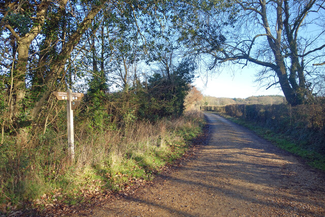
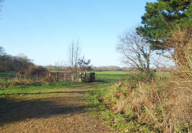
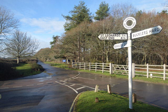
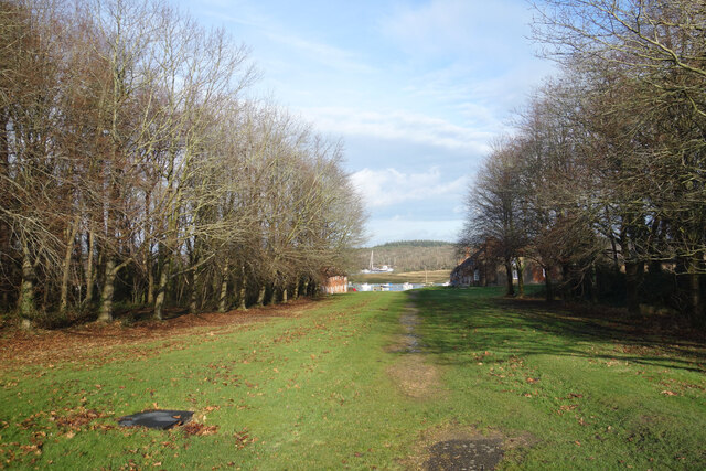
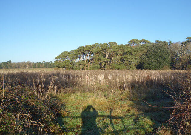
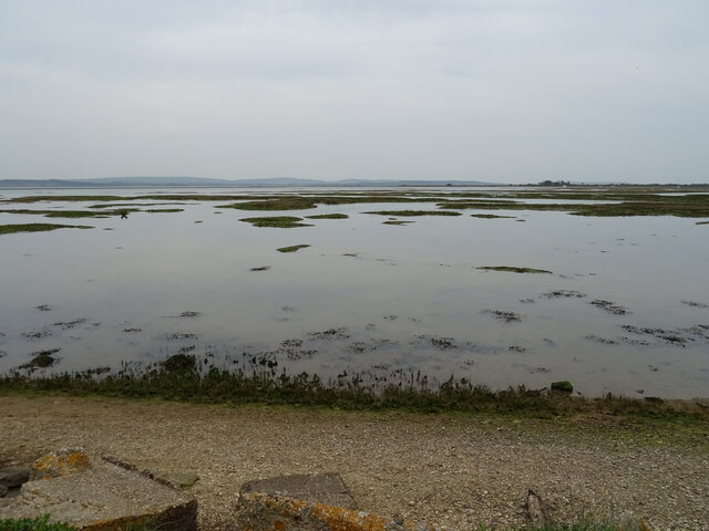
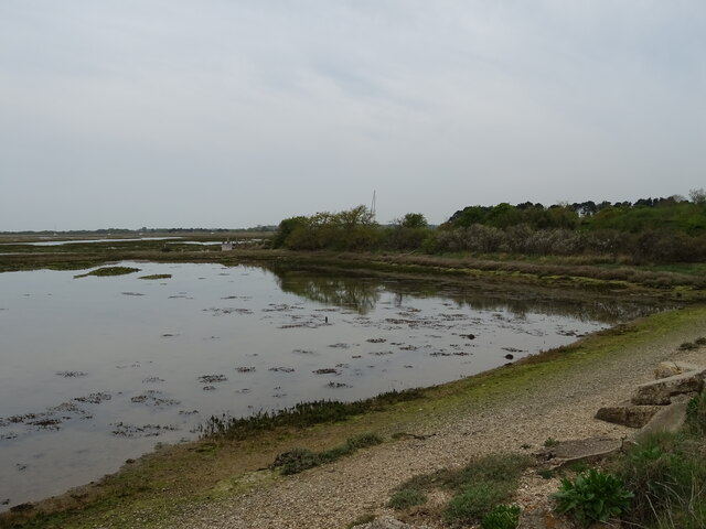
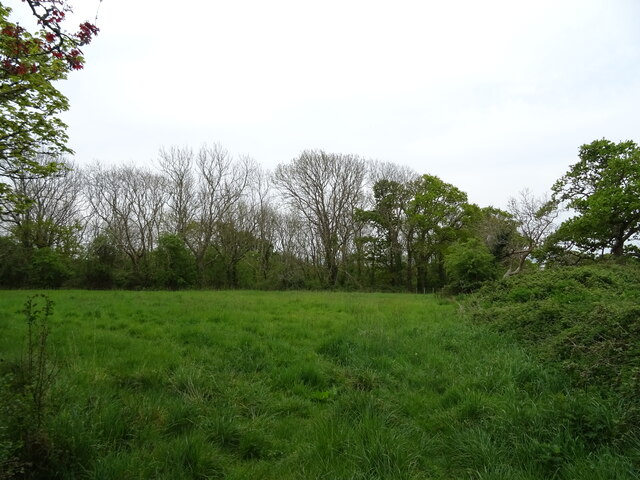
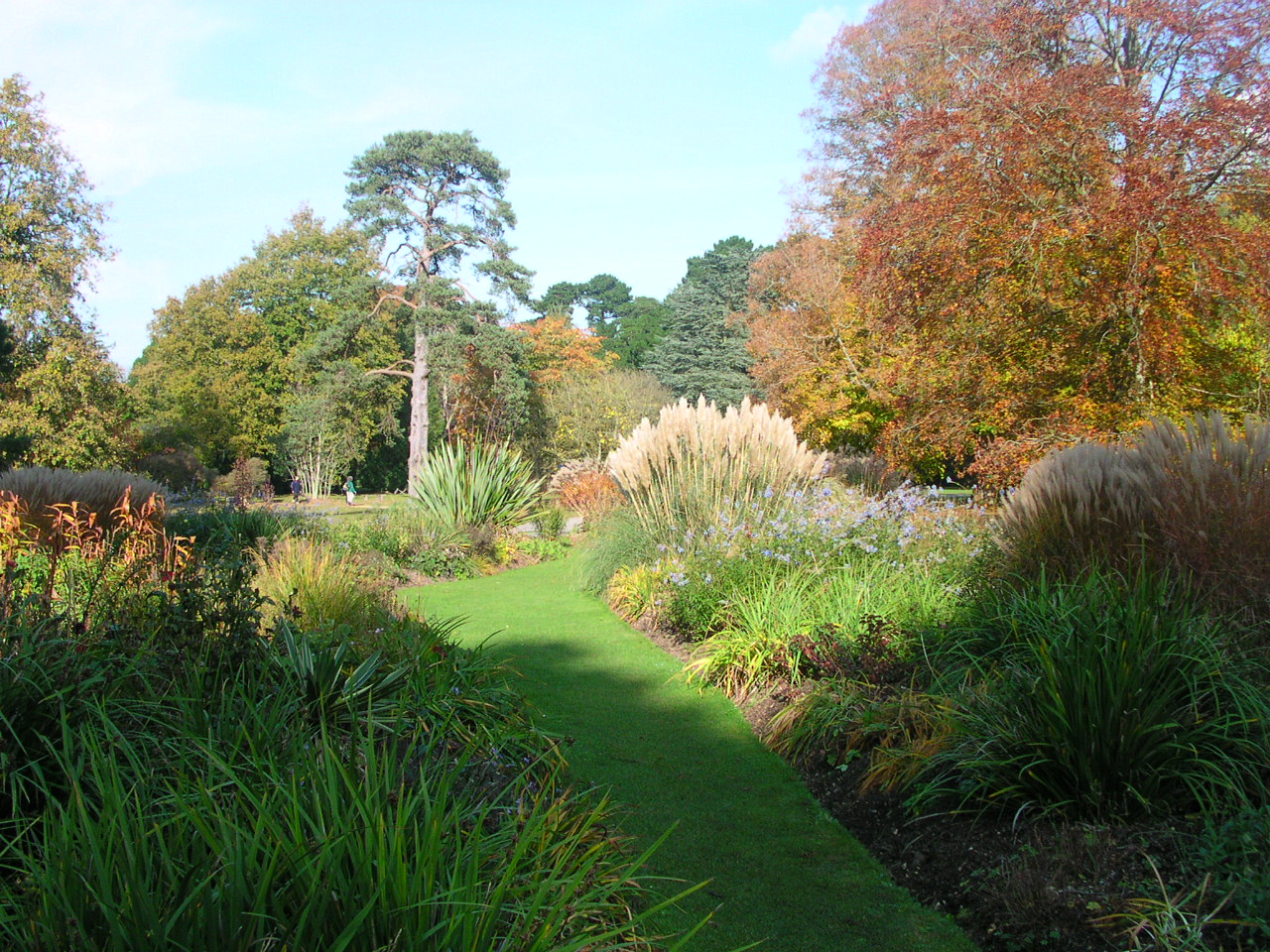
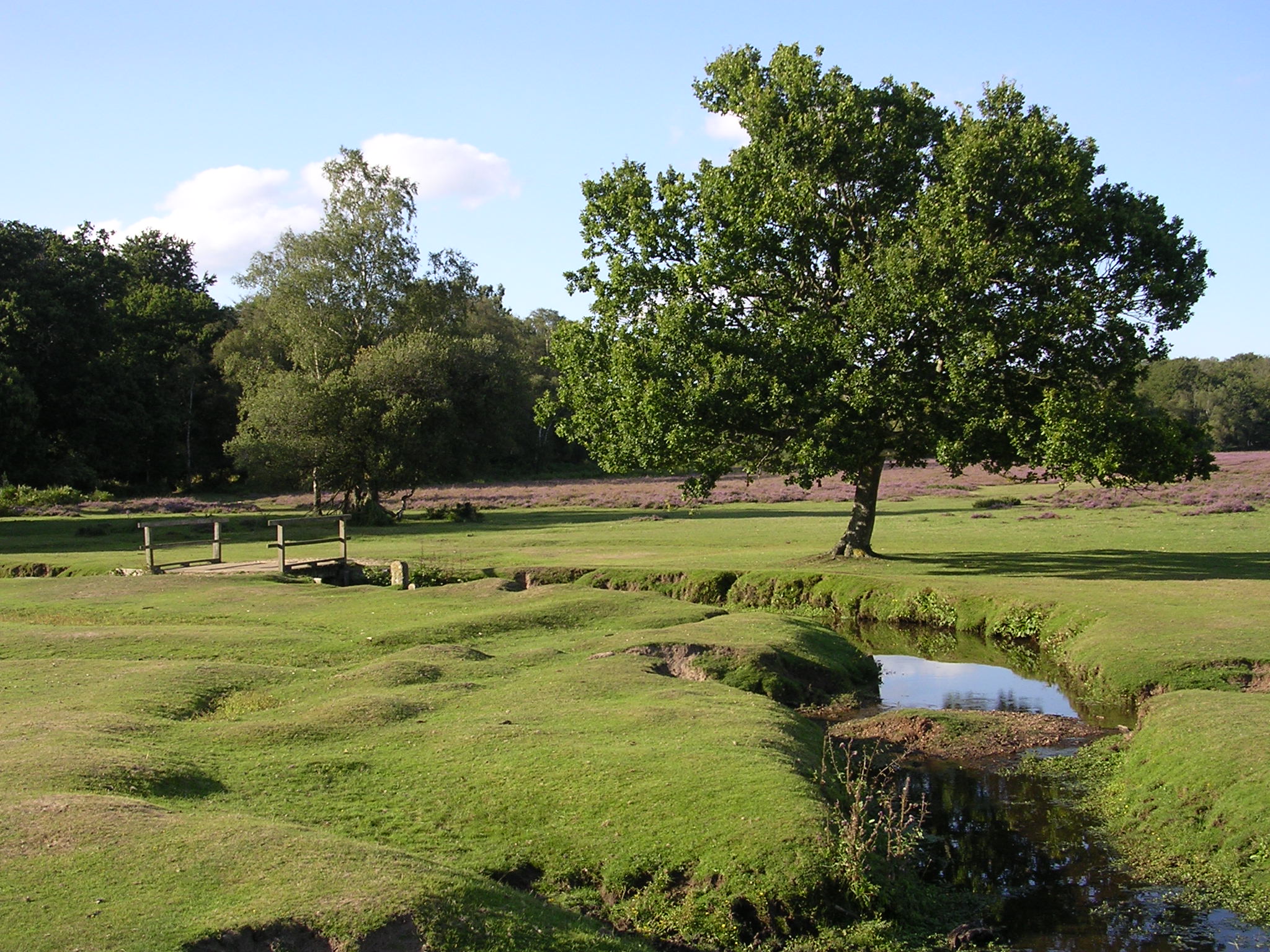
The village is known for its lush green surroundings and abundant wildlife, making it a popular destination for nature enthusiasts and hikers. The woodlands surrounding Aldermoor showcase a diverse range of trees, including oak, beech, and pine, providing a stunning backdrop for outdoor activities such as walking, cycling, and birdwatching.

The forested area surrounding the village is also home to a variety of wildlife species, including deer, foxes, and various bird species. This makes Aldermoor an ideal location for nature lovers looking to observe and appreciate the local fauna.

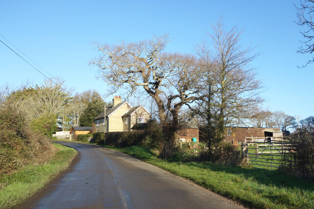
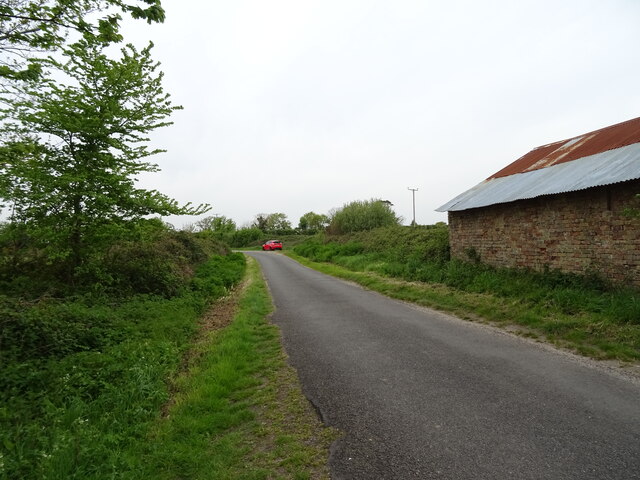
Despite its rural setting, Aldermoor is well-connected to nearby towns and cities. The village benefits from good transport links, with easy access to major road networks and public transportation options. This allows residents to enjoy the tranquility of village life while still being within reach of urban amenities.

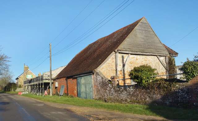
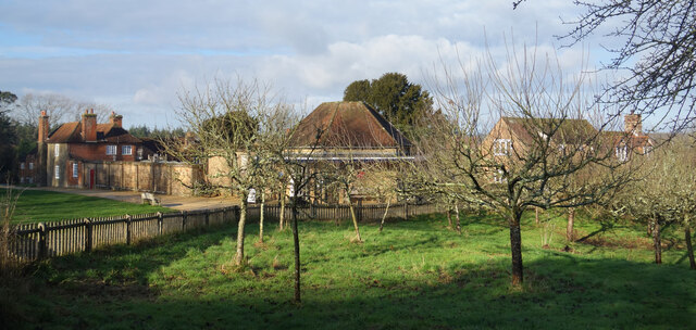
In terms of facilities, Aldermoor boasts a small but vibrant community. It features a local pub, a village hall, and a primary school, catering to the needs of its residents. Nearby towns provide additional amenities, including shops, supermarkets, and healthcare services.

In summary, Aldermoor in Hampshire is a charming village nestled within a wood and forest area, offering a peaceful and idyllic setting for residents and visitors. Its natural beauty and convenient location make it a desirable place to live or explore.

If you have any feedback on the listing, please let us know in the comments section below.
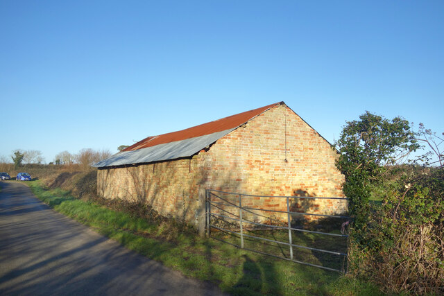
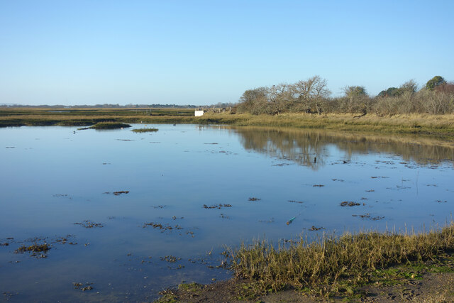
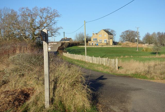
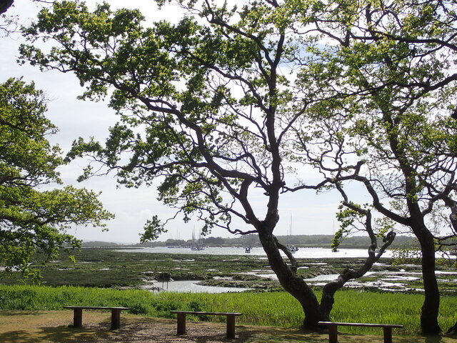
Aldermoor Images

Images are sourced within 2km of 50.791522/-1.4009587 or Grid Reference SZ4299. Thanks to Geograph Open Source API. All images are credited.

Farm Track and Bridleway A bit smart for just a bridleway, this is also a drive to East Hill Farm.
Farm Track and Bridleway
A bit smart for just a bridleway, this is also a drive to East Hill Farm.
Footpath to Cump Copse Public footpath through farmland near Exbury.
Footpath to Cump Copse
Public footpath through farmland near Exbury.
Old Barn at Lepe Farm Part of a group of farm buildings and houses at Lepe Farm.
Old Barn at Lepe Farm
Part of a group of farm buildings and houses at Lepe Farm.
Lepe Farm Lepe is described by Wikipedia as a linear hamlet. Since medieval times it has been part of the parish of Exbury and Lepe. <span class="nowrap"><a title="https://en.wikipedia.org/wiki/Lepe,_Hampshire" rel="nofollow ugc noopener" href="https://en.wikipedia.org/wiki/Lepe,_Hampshire">Link</a><img style="margin-left:2px;" alt="External link" title="External link - shift click to open in new window" src="https://s1.geograph.org.uk/img/external.png" width="10" height="10"/></span>
Lepe Farm
Lepe is described by Wikipedia as a linear hamlet. Since medieval times it has been part of the parish of Exbury and Lepe. LinkExternal link
Three Stones, Barn The map calls this Three Stones, I'm not sure why. Two Sheds would be a better name because all that's here is this place and another one much the same off to my right.
Three Stones, Barn
The map calls this Three Stones, I'm not sure why. Two Sheds would be a better name because all that's here is this place and another one much the same off to my right.
High Tide at Exbury The water comes right up to the road at this point.
High Tide at Exbury
The water comes right up to the road at this point.
Old Stick In The Mud Often used derogatively for someone who is a bit grumpy and set in their ways, in this case it can be taken at face value.
Mudflats are very good at preserving old remains of long gone structures.
Old Stick In The Mud
Often used derogatively for someone who is a bit grumpy and set in their ways, in this case it can be taken at face value. Mudflats are very good at preserving old remains of long gone structures.
House and Footpath Sign Down by the estuary here, the sign points out the two options for walking by the coast, along the shore when the tide is out or down the road when it's not. The house is one of a number of isolated properties outside Exbury village which make up the scattered parish of Exbury and Lepe.
House and Footpath Sign
Down by the estuary here, the sign points out the two options for walking by the coast, along the shore when the tide is out or down the road when it's not. The house is one of a number of isolated properties outside Exbury village which make up the scattered parish of Exbury and Lepe.
Exbury House River Beaulieu at Salternshill from the grounds of Exbury House, Hampshire
Exbury House
River Beaulieu at Salternshill from the grounds of Exbury House, Hampshire
Road Junction, Bucklers Hard By the entrance to the museum village at Bucklers Hard.
Road Junction, Bucklers Hard
By the entrance to the museum village at Bucklers Hard.
Orchard at Bucklers Hard At the museum village of Bucklers Hard where wooden ships were built at one time.
Apples were grown and stored by the villagers as an important part of their diet. Now the fruit is harvested to make a local brand of apple juice.
Orchard at Bucklers Hard
At the museum village of Bucklers Hard where wooden ships were built at one time. Apples were grown and stored by the villagers as an important part of their diet. Now the fruit is harvested to make a local brand of apple juice.
The old village street, Bucklers Hard A wide avenue from the main road down to the old shipbuilding village of Bucklers Hard. Nowadays it's just a grassy public footpath. Entry to the village is on foot from the car park off to the right.
The old village street, Bucklers Hard
A wide avenue from the main road down to the old shipbuilding village of Bucklers Hard. Nowadays it's just a grassy public footpath. Entry to the village is on foot from the car park off to the right.
Aldermoor Land south of Exbury named on the map as Aldermoor.
Aldermoor
Land south of Exbury named on the map as Aldermoor.
Beach and marsh
Beach and marsh
Coastal road towards Exbury
Beach and marsh
Beach and marsh
Grazing, Three Stones
Minor road, Three Stones
Show me another place!

Aldermoor is located at Grid Ref: SZ4299 (Lat: 50.791522, Lng: -1.4009587)

Administrative County: Hampshire

District: New Forest

Police Authority: Hampshire

What 3 Words

///replaying.holdings.tennis. Near Gurnard, Isle of Wight

Nearby Locations

Salterns Copse Aldermoor

Related Wikis

Nearby Amenities

Located within 500m of 50.791522,-1.4009587
Lower Exbury
Place: hamlet
Lat/Long: 50.7876993/-1.4038401
The data included in this document is from www.openstreetmap.org. The data is made available under ODbL.

Have you been to Aldermoor?

Leave your review of Aldermoor below (or comments, questions and feedback).