Windmill Hill Spinney
Wood, Forest in Warwickshire Stratford-on-Avon
England
Windmill Hill Spinney

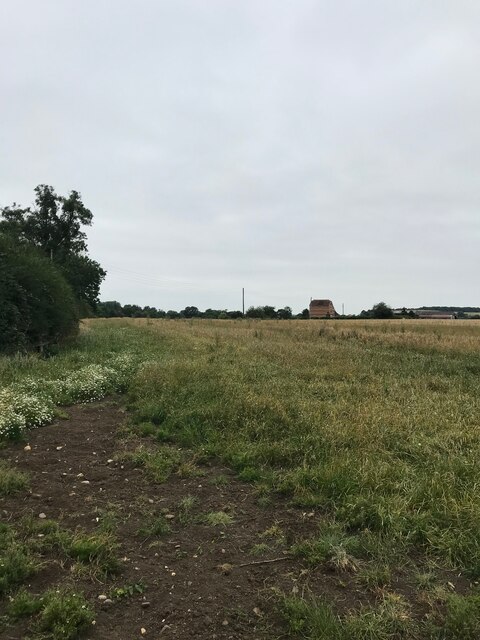
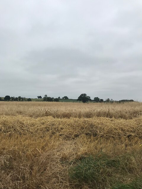
Windmill Hill Spinney is a picturesque woodland located in Warwickshire, England. Spanning over an area of approximately 50 acres, this natural oasis is a popular destination for nature lovers and outdoor enthusiasts. The spinney is situated on Windmill Hill, which offers stunning panoramic views of the surrounding countryside.
The woodland is predominantly composed of deciduous trees, such as oak, birch, and beech, which create a vibrant and diverse ecosystem. The forest floor is covered in a thick carpet of ferns, wildflowers, and mosses, providing a haven for various plant species and a perfect habitat for small mammals, birds, and insects.
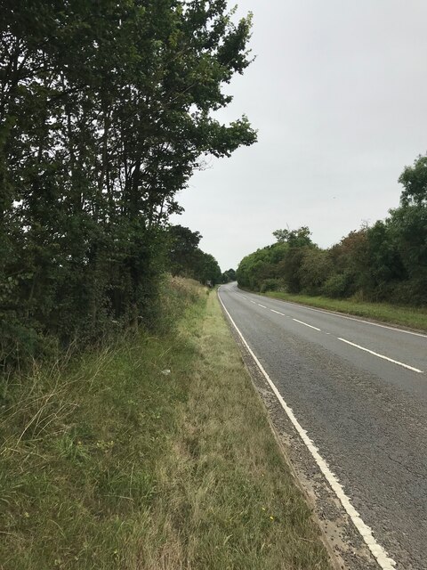
Walking trails meander through the spinney, allowing visitors to explore its enchanting beauty. Along these paths, one can encounter ancient trees, charming glades, and bubbling streams. The tranquil atmosphere and the soothing sounds of nature make Windmill Hill Spinney an ideal place for relaxation, meditation, and birdwatching.
The spinney is also home to a variety of wildlife, including deer, foxes, badgers, and a rich assortment of bird species. Birdwatchers can spot woodpeckers, owls, and songbirds among the branches, while lucky visitors may even catch a glimpse of a rare and elusive red squirrel.
Windmill Hill Spinney is a cherished natural gem in Warwickshire, offering a serene escape from the hustle and bustle of everyday life. Its breathtaking scenery and abundant wildlife make it a must-visit destination for anyone seeking a connection with nature.
If you have any feedback on the listing, please let us know in the comments section below.
Windmill Hill Spinney Images
Images are sourced within 2km of 52.229023/-1.3822219 or Grid Reference SP4259. Thanks to Geograph Open Source API. All images are credited.


Windmill Hill Spinney is located at Grid Ref: SP4259 (Lat: 52.229023, Lng: -1.3822219)
Administrative County: Warwickshire
District: Stratford-on-Avon
Police Authority: Warwickshire
What 3 Words
///success.standard.zaps. Near Southam, Warwickshire
Nearby Locations
Related Wikis
Ladbroke, Southam
Ladbroke is a village and civil parish about 2 miles (3.2 km) south of Southam in Warwickshire. The population of the civil parish at the 2001 Census was...

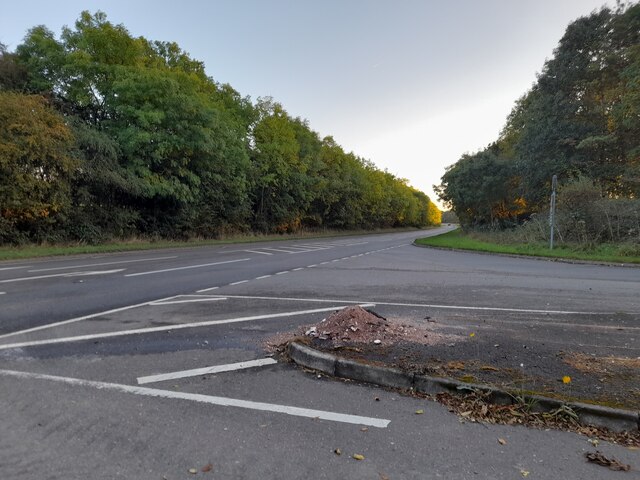
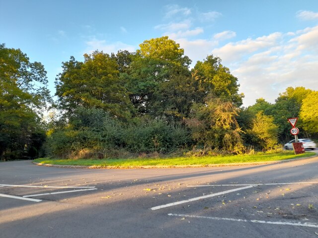
A423 road
The A423 road is a primary A road in England in two sections. The main section leads from central Banbury to the A45 near Coventry. == Route == It starts...

Ladbroke Hall
Ladbroke Hall is an 18th-century English country house at Ladbroke, near Southam, Warwickshire. It is a Grade II listed building and is now divided into...
Southam United F.C.
Southam United Football Club is a football club based in Southam, Warwickshire. They are members of the Hellenic League Division One and play at Bobby...
Nearby Amenities
Located within 500m of 52.229023,-1.3822219Have you been to Windmill Hill Spinney?
Leave your review of Windmill Hill Spinney below (or comments, questions and feedback).