Gravel Hill Plantation

Wood, Forest in Hampshire Basingstoke and Deane

England

Gravel Hill Plantation

Badly pot-holed lane Not typical of the rest of the lane, just this stretch suffered somewhat before meeting the main road.
Badly pot-holed lane Credit: Robin Webster

Gravel Hill Plantation is located in Hampshire, England and is renowned for its picturesque woodland and forest. Spread across a vast area, the plantation encompasses a diverse range of flora and fauna, making it an ideal destination for nature enthusiasts and hikers alike.

The plantation is primarily composed of mature woodland, characterized by a rich variety of trees including oak, beech, and pine. These towering trees provide a lush canopy that offers a cool and serene environment, especially during the summer months. The forest floor is adorned with a vibrant carpet of wildflowers, further enhancing the beauty of the surroundings.

Gravel Hill Plantation is home to an array of wildlife species. Birdwatchers can delight in spotting various avian species such as woodpeckers, owls, and warblers, while mammal enthusiasts may encounter deer, foxes, and squirrels. The plantation's diverse ecosystem also supports a plethora of insects, amphibians, and reptiles, providing ample opportunities for nature lovers to observe and learn about these fascinating creatures.

The plantation offers a network of well-maintained trails that wind through the woodland, allowing visitors to explore the area at their own pace. These trails cater to different fitness levels and offer various lengths, ensuring there is something for everyone. Along the way, walkers may stumble upon charming streams and ponds, adding to the tranquility of the surroundings.

Gravel Hill Plantation is a haven for those seeking solace in nature. Its lush forest, diverse wildlife, and well-designed trails make it a delightful destination for individuals and families looking to immerse themselves in the natural beauty of Hampshire.

If you have any feedback on the listing, please let us know in the comments section below.

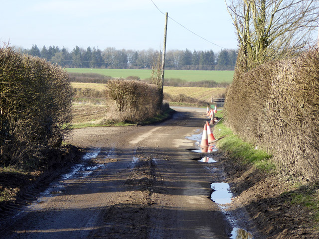
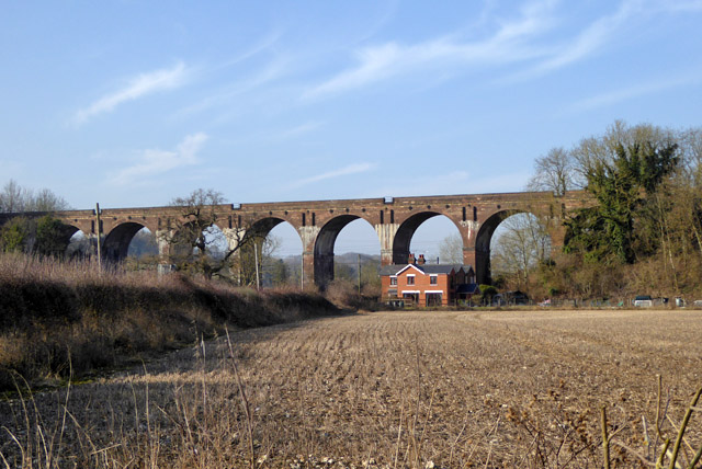
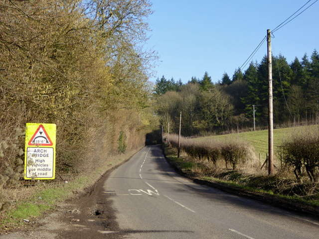
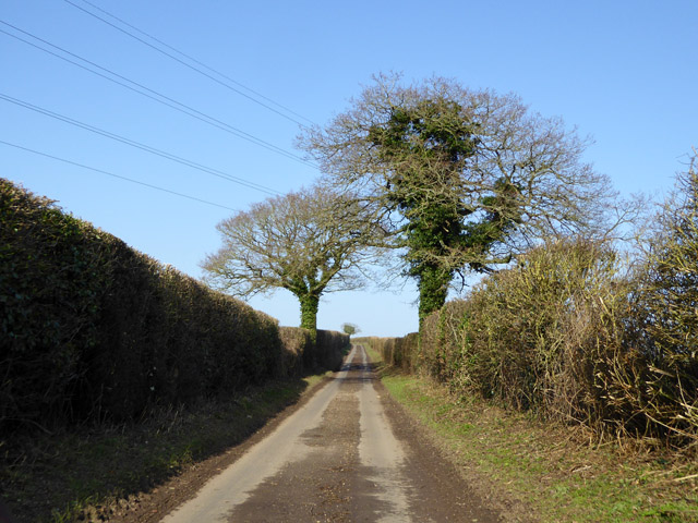
Gravel Hill Plantation Images

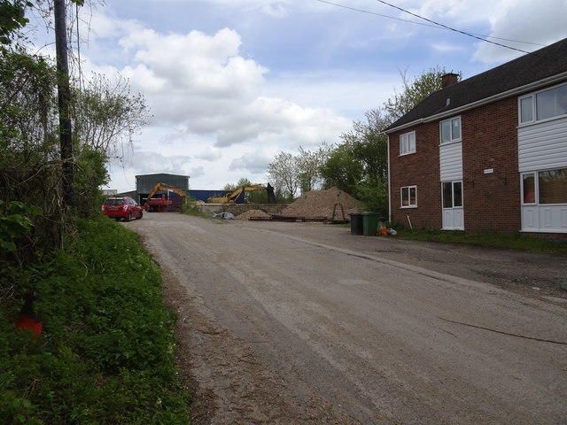
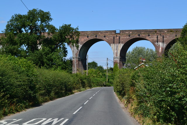
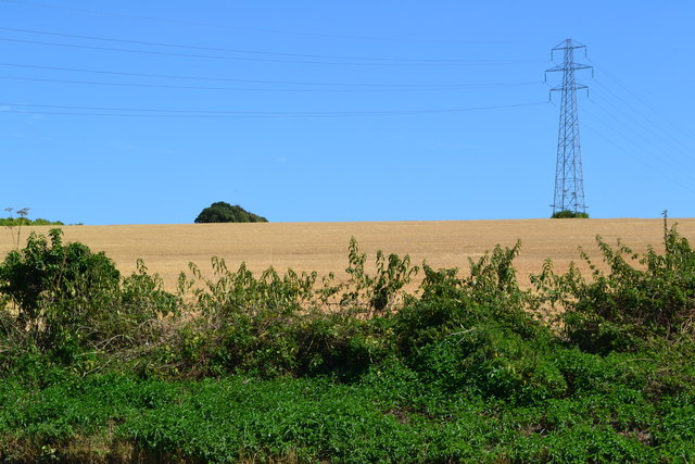
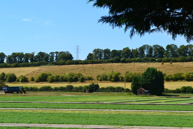
Images are sourced within 2km of 51.241849/-1.3958183 or Grid Reference SU4249. Thanks to Geograph Open Source API. All images are credited.

Badly pot-holed lane Not typical of the rest of the lane, just this stretch suffered somewhat before meeting the main road.
Badly pot-holed lane
Not typical of the rest of the lane, just this stretch suffered somewhat before meeting the main road.
Hurstbourne Viaduct, bridge BAE1 E4/173 On the West of England main line, the Southern route to the west..
Hurstbourne Viaduct, bridge BAE1 E4/173
On the West of England main line, the Southern route to the west..
Arched bridge ahead The Harroway passes under the West of England line, which is here immediately on the left.
Arched bridge ahead
The Harroway passes under the West of England line, which is here immediately on the left.
Lane up Newbarn Down No downland now, all agriculture.
Lane up Newbarn Down
No downland now, all agriculture.
Hurstbourne railway station (site), Hampshire Opened in 1882 by the London & South Western Railway on the line from Basingstoke to Salisbury, this station closed in 1964 and was demolished.
View east up the approach road. The line and former station site are to the right of the house. Not much seemed to have changed in the 25 years since <a href="https://www.geograph.org.uk/photo/3696103">SU4349 : Hurstbourne station site/remains, 1993</a> was taken, but in 2023 the site became a housing development.
Hurstbourne railway station (site), Hampshire
Opened in 1882 by the London & South Western Railway on the line from Basingstoke to Salisbury, this station closed in 1964 and was demolished. View east up the approach road. The line and former station site are to the right of the house. Not much seemed to have changed in the 25 years since SU4349 : Hurstbourne station site/remains, 1993 was taken, but in 2023 the site became a housing development.
Hurstbourne Viaduct
Hurstbourne Viaduct
Field with pylon north of Hurstbourne Viaduct
Watercress beds
Watercress beds
View across watercress beds
Farmland, St Mary Bourne Barley to the south of Lower Wyke.
Farmland, St Mary Bourne
Barley to the south of Lower Wyke.
Farmland, St Mary Bourne Barley beside the Test Way near Lower Wyke.
Farmland, St Mary Bourne
Barley beside the Test Way near Lower Wyke.
New Barn Farm
New Barn Farm
Harroway Junction
Harroway Junction
Village houses, St Mary Bourne, Hampshire
Village house, St Mary Bourne, Hampshire
Bourne Cottage, St Mary Bourne, Hampshire C18, early C19. One storey and attic, 4 windows. Half-hipped thatch roof, 3 eyebrow dormers. Walling of red brickwork in Flemish bond, with a section of flint panels at the east side; the upper gables have exposed framing. Casements. One plain door and another with side windows.

(Source:Historic England)
Bourne Cottage, St Mary Bourne, Hampshire
C18, early C19. One storey and attic, 4 windows. Half-hipped thatch roof, 3 eyebrow dormers. Walling of red brickwork in Flemish bond, with a section of flint panels at the east side; the upper gables have exposed framing. Casements. One plain door and another with side windows. (Source:Historic England)
The Malt House, St Mary Bourne, Hampshire Early C19. Two-storeyed house with a shop front, 3 upper windows. Slate roof, stepped brick eaves. Red brick walling with long and short flint panels, brick plinth, stone cills. Sashes in reveals; the ground floor at the south-east side has an original moulded cornice, frieze and thin pilasters to a shop front which has been made narrower, by the infill of flint and brick walling on the east side. Four-panelled door in a solid frame, with a hood on carved brackets. The easternmost quarter of the front turns at a slight angle, to continue straight along the front of the adjoining building.

(Source:Historic England)
The Malt House, St Mary Bourne, Hampshire
Early C19. Two-storeyed house with a shop front, 3 upper windows. Slate roof, stepped brick eaves. Red brick walling with long and short flint panels, brick plinth, stone cills. Sashes in reveals; the ground floor at the south-east side has an original moulded cornice, frieze and thin pilasters to a shop front which has been made narrower, by the infill of flint and brick walling on the east side. Four-panelled door in a solid frame, with a hood on carved brackets. The easternmost quarter of the front turns at a slight angle, to continue straight along the front of the adjoining building. (Source:Historic England)
Little Thatch, St Mary Bourne, Hampshire C18. One storey and attic, 3 windows. Thatched roof, with eaves raised above the upper windows, which have cills at eaves level. Red brick walling in Flemish bond, cambered ground floor openings, cement plinth. Casements. Two boarded doors in solid frames. The easternmost quarter of the front turns at a slight angle, to continue straight along the front of the adjoining building.

(Source:Historic England)
Little Thatch, St Mary Bourne, Hampshire
C18. One storey and attic, 3 windows. Thatched roof, with eaves raised above the upper windows, which have cills at eaves level. Red brick walling in Flemish bond, cambered ground floor openings, cement plinth. Casements. Two boarded doors in solid frames. The easternmost quarter of the front turns at a slight angle, to continue straight along the front of the adjoining building. (Source:Historic England)
Show me another place!

Gravel Hill Plantation is located at Grid Ref: SU4249 (Lat: 51.241849, Lng: -1.3958183)

Administrative County: Hampshire

District: Basingstoke and Deane

Police Authority: Hampshire

What 3 Words

///introduce.boosted.elated. Near Andover, Hampshire

Related Wikis

St Mary Bourne

St Mary Bourne is a village and civil parish in the Basingstoke and Deane district of Hampshire, England. It lies on the valley of the Bourne Rivulet,...

Hurstbourne railway station

Hurstbourne railway station served the village of Hurstbourne Priors in Hampshire, England. It was on the London and South Western Railway's West of England...

Middle Wyke

Middle Wyke is a hamlet in the Basingstoke and Deane district of Hampshire, England. Its nearest town is Andover, which lies approximately 3.7 miles...

Lower Wyke

Lower Wyke is a hamlet in the Basingstoke and Deane district of Hampshire, England. It is in the civil parish of St. Mary Bourne. Its nearest town is...

Nearby Amenities

Located within 500m of 51.241849,-1.3958183
Power: tower
Source: bing
Lat/Long: 51.2378403/-1.3976317
Power: tower
Source: bing
Lat/Long: 51.2388043/-1.3932713
Power: tower
Source: bing
Lat/Long: 51.2394198/-1.390433
Power: pole
Lat/Long: 51.2431152/-1.3920571
Power: pole
Lat/Long: 51.2418567/-1.3905832
Power: pole
Lat/Long: 51.2401515/-1.3896458
The data included in this document is from www.openstreetmap.org. The data is made available under ODbL.

Have you been to Gravel Hill Plantation?

Leave your review of Gravel Hill Plantation below (or comments, questions and feedback).