Broadfield Wood
Wood, Forest in Yorkshire Harrogate
England
Broadfield Wood
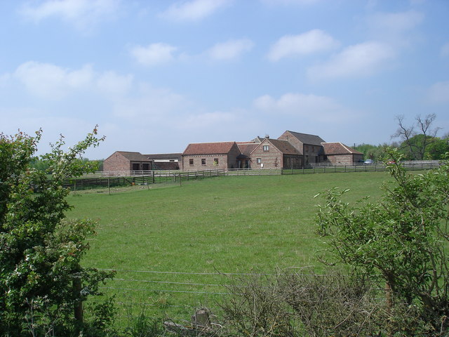
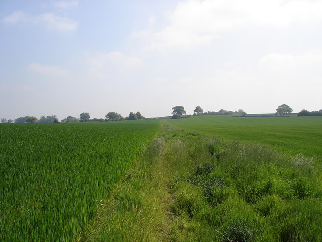
Broadfield Wood is a picturesque woodland located in the county of Yorkshire, England. Spanning over several acres, this forested area is nestled in the heart of the Yorkshire Dales National Park, offering visitors a tranquil escape from the bustling urban environment.
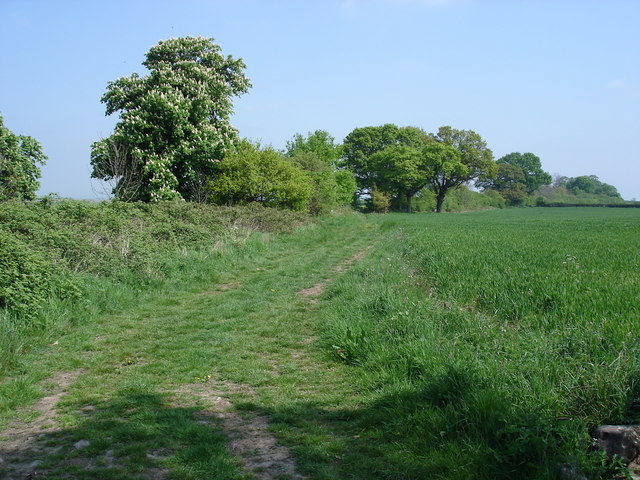
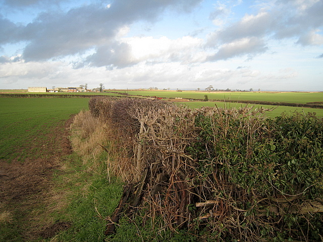
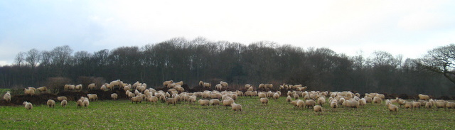
The wood is characterized by its dense canopy of mature trees, predominantly consisting of native species such as oak, beech, and ash. These majestic trees provide a haven for a diverse range of wildlife, including various bird species, small mammals, and insects. The forest floor is adorned with a vibrant carpet of wildflowers, adding to the natural beauty of the surroundings.
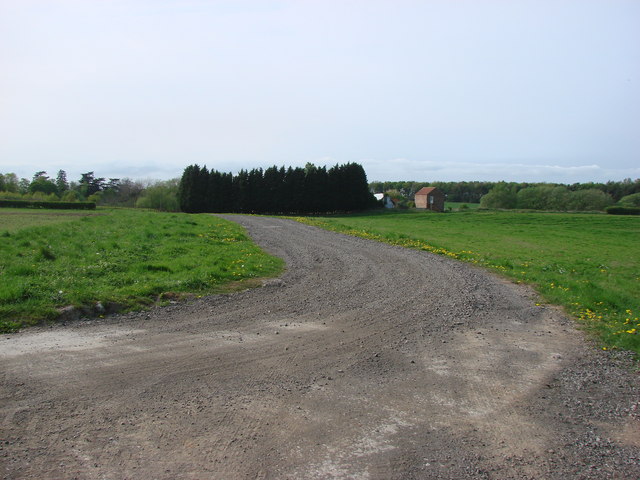
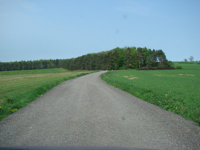
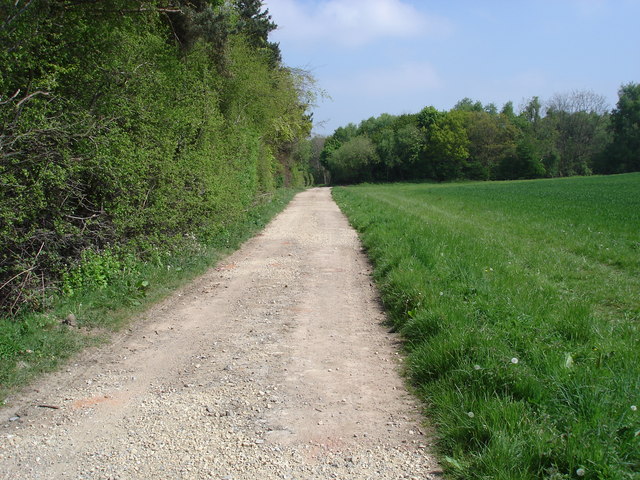
Broadfield Wood is crisscrossed with a network of well-maintained walking trails, allowing visitors to explore and immerse themselves in the captivating natural environment. These paths wind through the wood, leading visitors past babbling brooks, moss-covered rocks, and charming clearings that offer breathtaking vistas of the surrounding countryside.
In addition to its natural beauty, Broadfield Wood also holds historical significance. It is believed that the wood has been in existence for centuries, with evidence of human activity dating back to ancient times. Archaeological remains, including old settlements and burial sites, have been discovered within the wood, adding an intriguing layer of history to the area.
Overall, Broadfield Wood is a captivating destination for nature enthusiasts and history buffs alike. Its combination of stunning woodland scenery, diverse wildlife, and historical significance make it a must-visit location for anyone exploring the Yorkshire region.
If you have any feedback on the listing, please let us know in the comments section below.
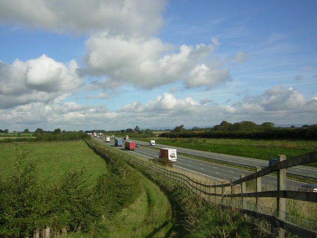
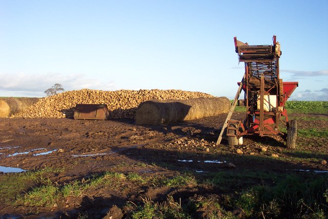
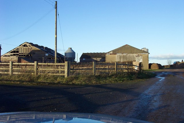
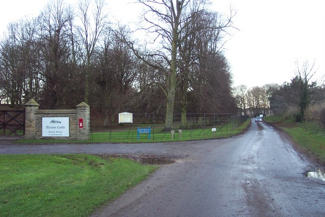
Broadfield Wood Images
Images are sourced within 2km of 54.030485/-1.3561633 or Grid Reference SE4259. Thanks to Geograph Open Source API. All images are credited.
Broadfield Wood is located at Grid Ref: SE4259 (Lat: 54.030485, Lng: -1.3561633)
Division: West Riding
Administrative County: North Yorkshire
District: Harrogate
Police Authority: North Yorkshire
What 3 Words
///grant.alarming.unwraps. Near Linton upon Ouse, North Yorkshire
Nearby Locations
Related Wikis

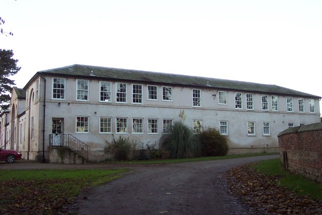
Allerton Mauleverer Priory
Allerton Mauleverer Priory was a medieval monastic house in North Yorkshire, England. The site is in Allerton Mauleverer with Hopperton Parish in the Harrogate...

Claro Wapentake
Claro was a wapentake of the West Riding of Yorkshire, England. It was split into two divisions. The Upper Division included the parishes of Farnham...

Allerton waste recovery park
Allerton waste recovery park is a waste recovery and incineration site located on a former quarry at Allerton Mauleverer, near Knaresborough, England....

Allerton Mauleverer
Allerton Mauleverer is a village in North Yorkshire, England. It is part of the Allerton Mauleverer with Hopperton parish. The parish is in the district...

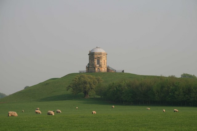
Allerton Castle
Allerton Castle, also known as Allerton Park, is a Grade I listed nineteenth-century Gothic or Victorian Gothic house at Allerton Mauleverer in North Yorkshire...
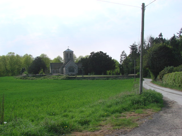
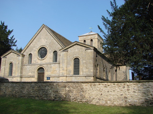
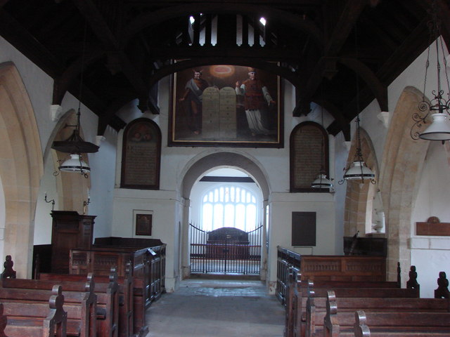
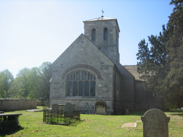
St Martin's Church, Allerton Mauleverer
St Martin's Church is a historic Anglican church in the village of Allerton Mauleverer, North Yorkshire, England. It is recorded in the National Heritage...
Allerton Mauleverer with Hopperton
Allerton Mauleverer with Hopperton is a civil parish in North Yorkshire, England. At the 2011 Census, the parish had a population of 150, an increase from...

Little Ouseburn
Little Ouseburn is a small village and civil parish in the Harrogate district of North Yorkshire, England. It is situated near the A1(M) motorway and 6...
Nearby Amenities
Located within 500m of 54.030485,-1.3561633Have you been to Broadfield Wood?
Leave your review of Broadfield Wood below (or comments, questions and feedback).