Cherry Strip
Wood, Forest in Yorkshire
England
Cherry Strip

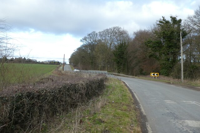
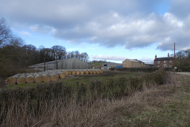
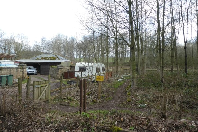
Cherry Strip is a small woodland area located in Yorkshire, England. Situated within the larger forest region, it covers an approximate area of 10 acres. The wood is predominantly composed of cherry trees, hence its name.
The woodland is known for its serene and tranquil atmosphere, making it a popular spot for nature enthusiasts and those seeking a peaceful retreat. The cherry trees provide a beautiful canopy that provides shade during the summer months and a burst of vibrant colors in the autumn. The area is particularly picturesque during the cherry blossom season when the trees are adorned with delicate pink flowers.
Cherry Strip is home to a diverse range of flora and fauna. The forest floor is carpeted with a variety of wildflowers, including bluebells, primroses, and wood sorrel. The wood provides a habitat for numerous bird species, such as woodpeckers, thrushes, and nuthatches, as well as small mammals like squirrels and rabbits.
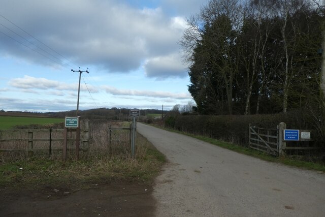
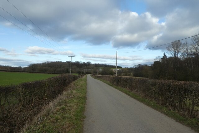
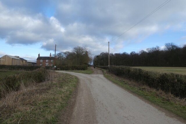
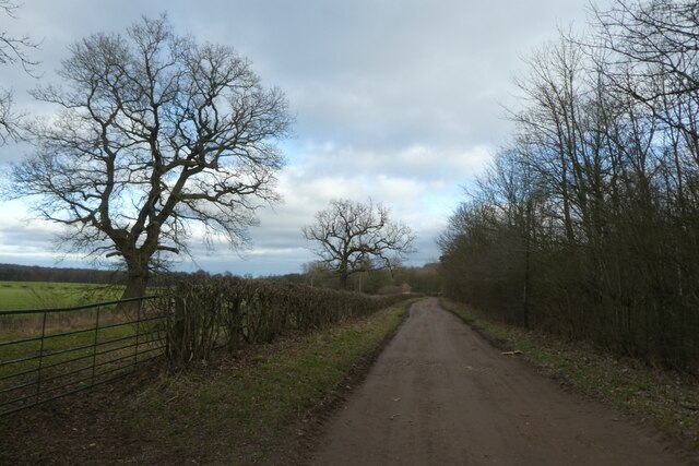
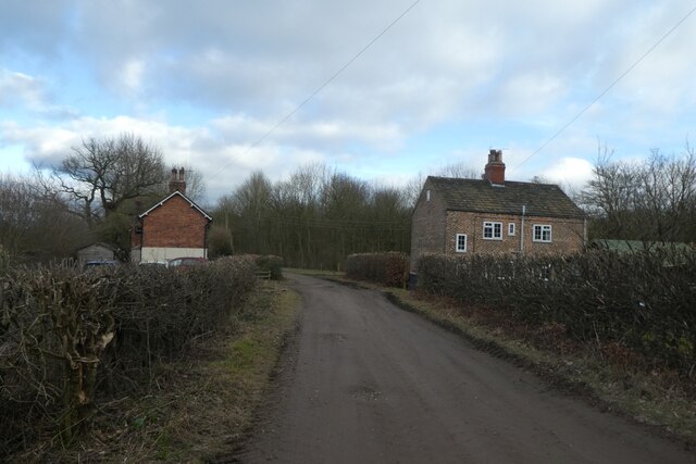
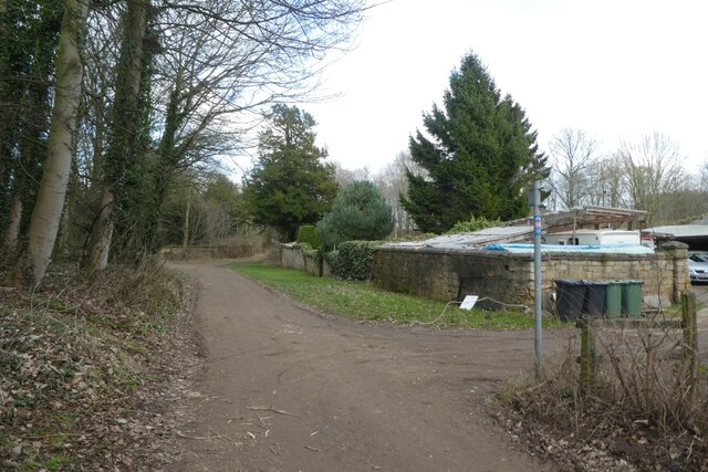
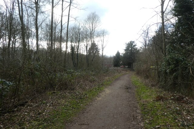
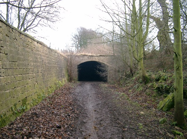
The woodland is crisscrossed by several walking trails, allowing visitors to explore the natural beauty at their own pace. These paths wind through the cherry trees and lead to a small stream that meanders through the wood, adding to the tranquility of the area.
Cherry Strip is a designated nature reserve, ensuring the preservation and protection of its unique ecosystem. It is managed by the local authorities, who maintain the trails and ensure the area remains unspoiled for future generations to enjoy.
If you have any feedback on the listing, please let us know in the comments section below.
Cherry Strip Images
Images are sourced within 2km of 53.825212/-1.3752802 or Grid Reference SE4136. Thanks to Geograph Open Source API. All images are credited.


Cherry Strip is located at Grid Ref: SE4136 (Lat: 53.825212, Lng: -1.3752802)
Division: West Riding
Unitary Authority: Leeds
Police Authority: West Yorkshire
What 3 Words
///pinch.tinned.dries. Near Aberford, West Yorkshire
Nearby Locations
Related Wikis
Parlington
Parlington is a civil parish that includes part of Aberford, in the City of Leeds in West Yorkshire, England. In 2001 the parish had a population of 87...
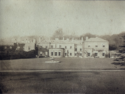
Parlington Hall
Parlington Hall was the seat of the Gascoigne family, Aberford near Leeds in West Yorkshire, England. == History == The Parlington estate was acquired...
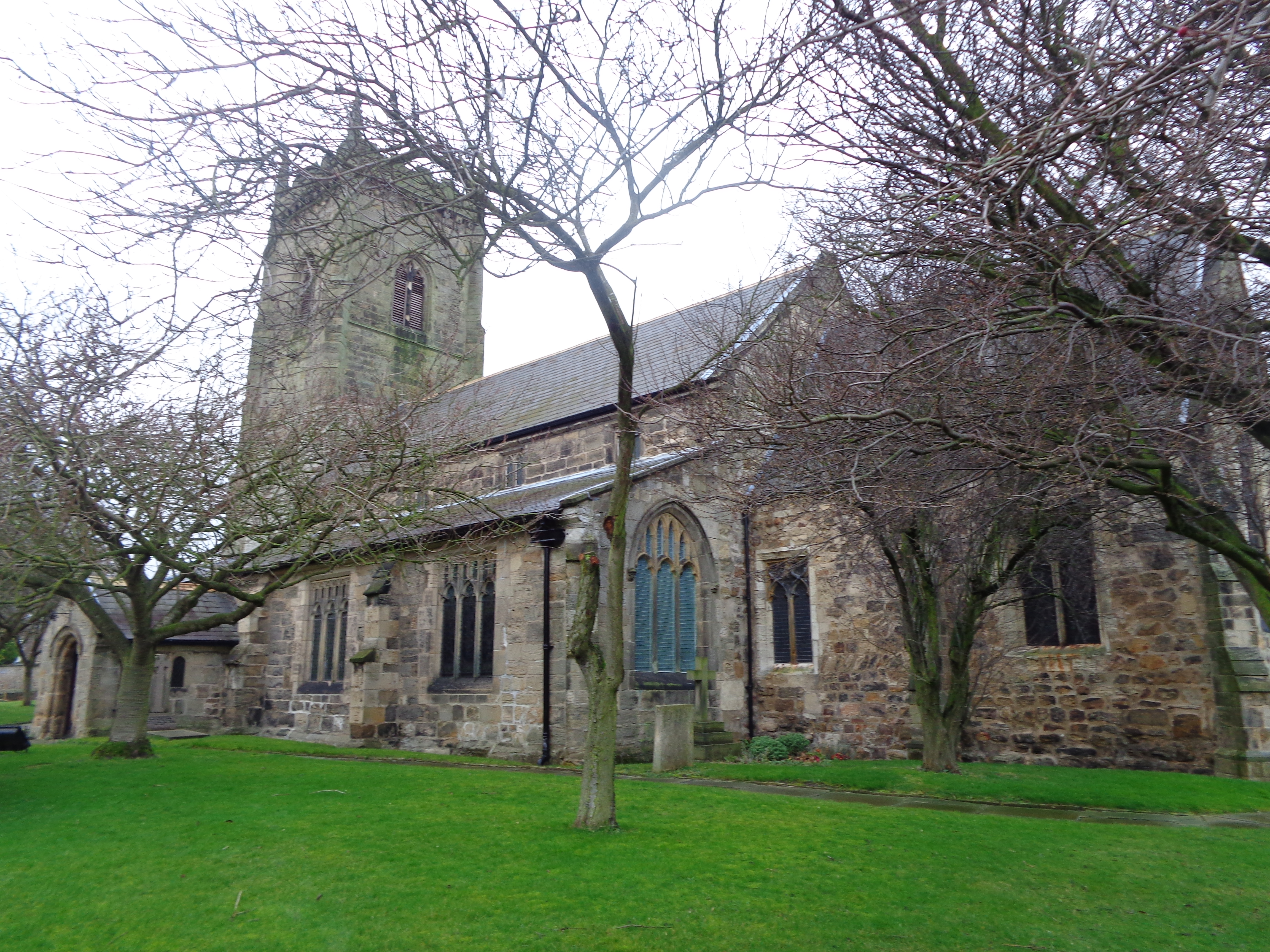
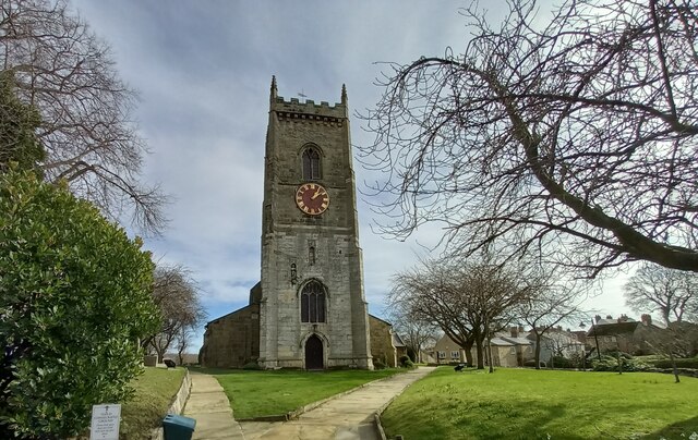
All Saints' Church, Barwick-in-Elmet
All Saints' Church in Barwick-in-Elmet, West Yorkshire, England is an active Anglican parish church in the archdeaconry of Leeds and the Diocese of Leeds...
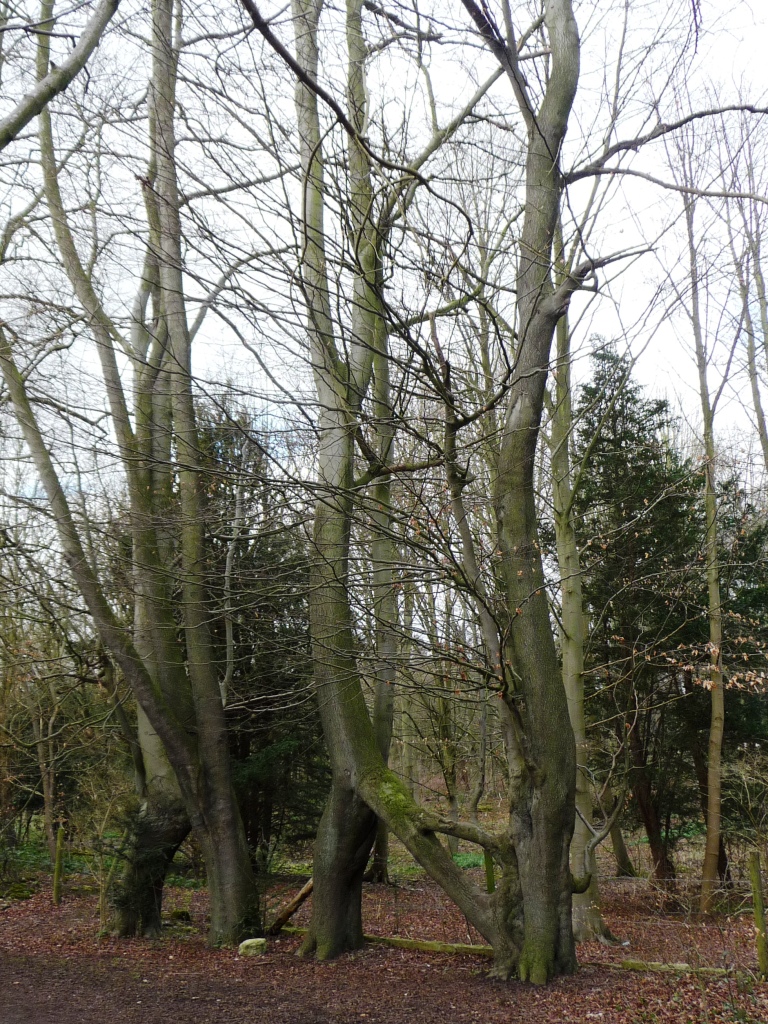
Nellie's Tree
Nellie's Tree (also known as the Love Tree) near Aberford, West Yorkshire is a group of three beech trees that have been grafted together in the shape...

Aberford Dykes
The Aberford Dykes are a series of archaeological monuments located around the valley of the Cock Beck, where it runs just north of the village of Aberford...

Barwick-in-Elmet
Barwick-in-Elmet (pronounced Barrick-in-Elmet) is a village in West Yorkshire, 7 miles (11 km) east of Leeds city centre. It is one of only three places...
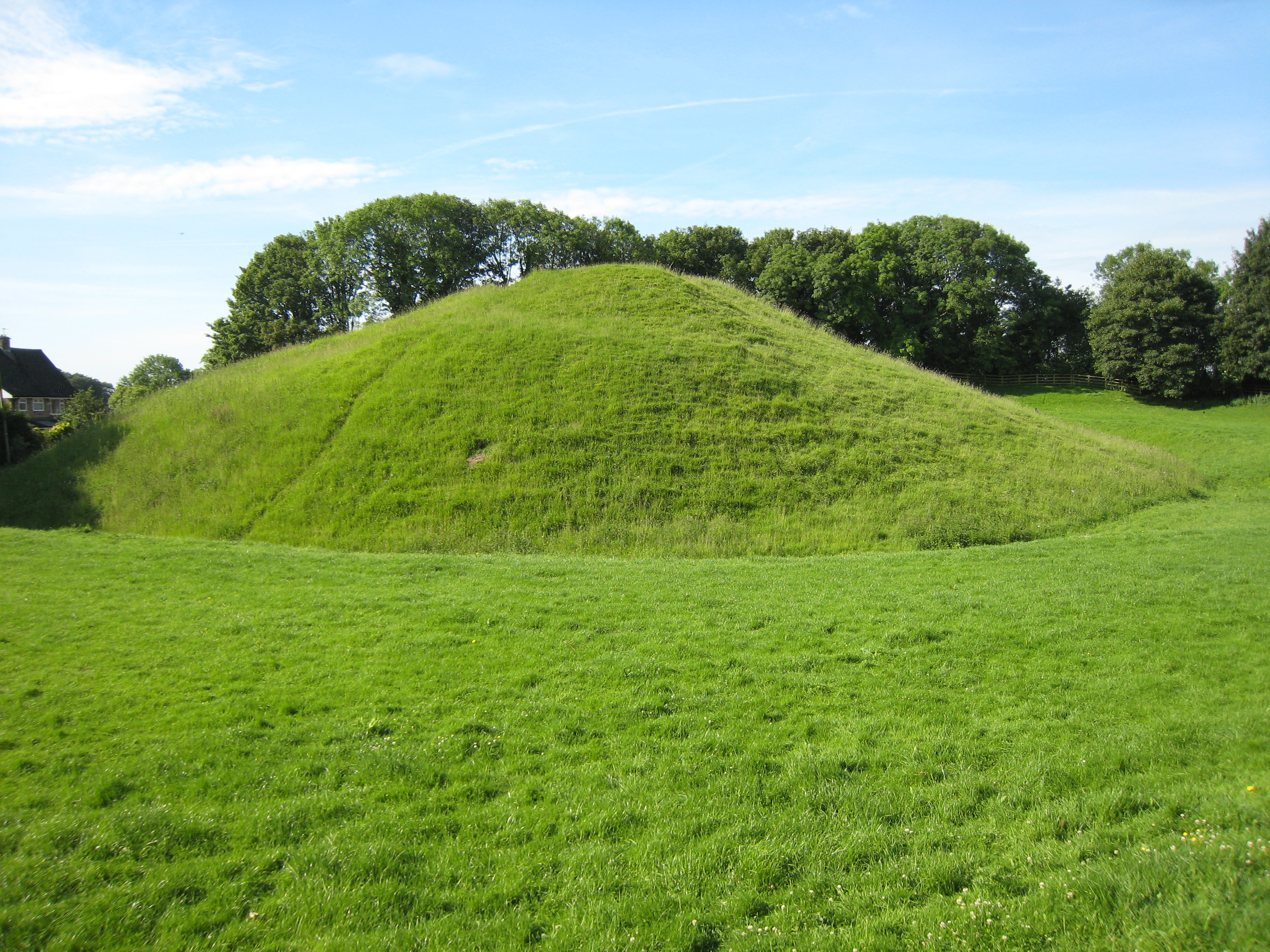
Barwick-in-Elmet Castle
Barwick-in-Elmet Castle was a fortification in the village of Barwick-in-Elmet, West Yorkshire, England to the east of Leeds (grid reference SE398375)...

Becca Hall
Becca Hall is a country residence situated in Aberford, Leeds, West Yorkshire, Yorkshire, at OS grid reference Lat.53:50:35N Lon.1:22:08W. It is situated...
Have you been to Cherry Strip?
Leave your review of Cherry Strip below (or comments, questions and feedback).