Great High Trees
Wood, Forest in Hampshire Test Valley
England
Great High Trees

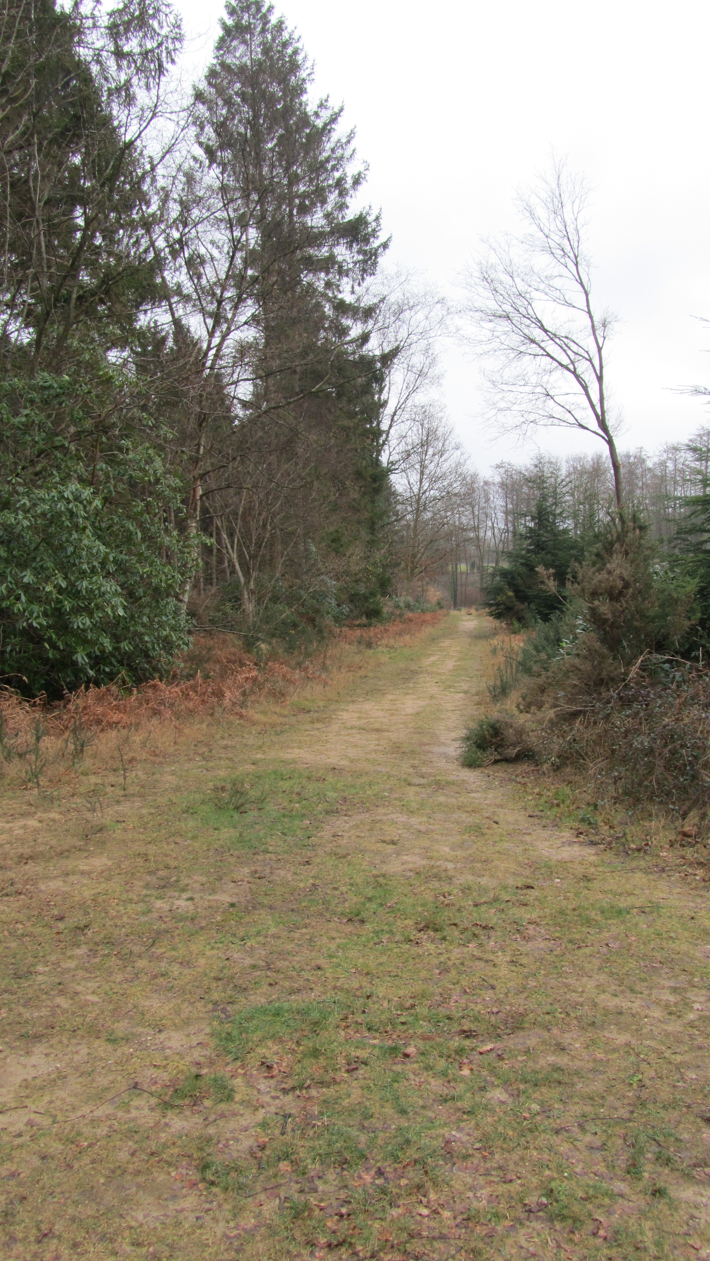
Great High Trees is a magnificent woodland located in Hampshire, England. Spanning over a vast area, it is known for its dense and lush forest cover, making it an ideal destination for nature enthusiasts and outdoor lovers. The woodland is characterized by towering trees that reach great heights, hence the name "Great High Trees."
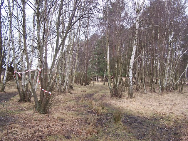
The diverse ecosystem within Great High Trees provides a home to a wide variety of flora and fauna. The forest floor is carpeted with a rich tapestry of ferns, mosses, and wildflowers, creating a picturesque landscape. The canopy is dominated by majestic oak, beech, and ash trees, which provide shade and shelter for numerous bird species, such as woodpeckers, owls, and songbirds.
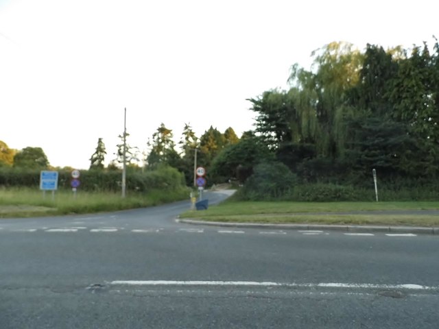
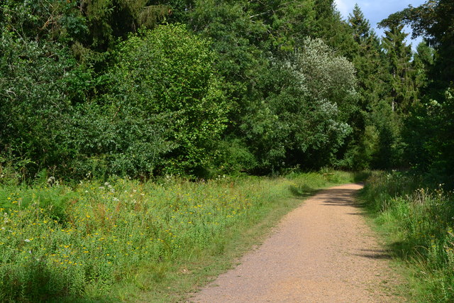
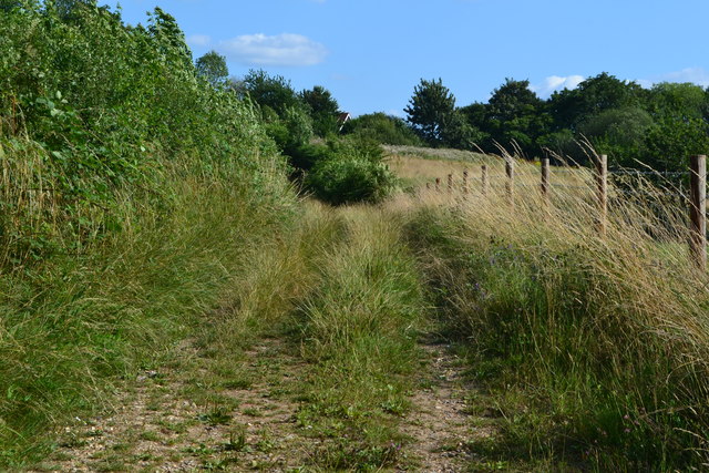
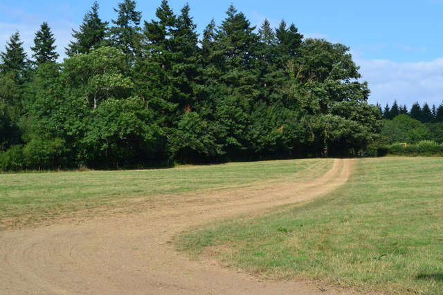
Visitors to Great High Trees can explore its extensive network of walking trails, which wind through the forest, offering breathtaking views and a serene atmosphere. The paths are well-maintained, allowing easy access for hikers of all skill levels. Along the way, one can discover hidden streams, small ponds, and occasional clearings, providing tranquil spots for picnics or moments of quiet reflection.
The forest is also renowned for its vibrant autumnal colors, attracting photographers and nature lovers alike. As the leaves change, the woodland transforms into a kaleidoscope of reds, oranges, and yellows, creating a truly enchanting sight.
Great High Trees is a cherished natural treasure in Hampshire, offering a peaceful retreat from the hustle and bustle of everyday life. With its awe-inspiring beauty and abundant wildlife, it is a place where visitors can reconnect with nature and experience the tranquility of the ancient woodland.
If you have any feedback on the listing, please let us know in the comments section below.
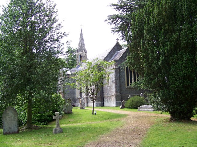
Great High Trees Images
Images are sourced within 2km of 51.000018/-1.4234178 or Grid Reference SU4022. Thanks to Geograph Open Source API. All images are credited.


Great High Trees is located at Grid Ref: SU4022 (Lat: 51.000018, Lng: -1.4234178)
Administrative County: Hampshire
District: Test Valley
Police Authority: Hampshire
What 3 Words
///hospitals.flipping.ferrets. Near North Baddesley, Hampshire
Nearby Locations
Related Wikis

Trodds Copse
Trodds Copse (grid reference SU417224) is a 25.23 hectare biological Site of Special Scientific Interest (SSSI), in central Hampshire, notified in 1989...
Ampfield
Ampfield is a village and civil parish in the Borough of Test Valley in Hampshire, England, between Romsey, Eastleigh, and Winchester. It had a population...
Ratlake Meadows
Ratlake Meadows is a 4.2-hectare (10-acre) biological Site of Special Scientific Interest north of Chandler's Ford in Hampshire.These unimproved meadows...
Emer Bog and Baddesley Common
Emer Bog and Baddesley Common is a 50-hectare (120-acre) nature reserve north of North Baddesley in Hampshire. It is managed by the Hampshire and Isle...
Baddesley Preceptory
Baddesley Preceptory was a preceptory of the Knights Hospitaller at North Baddesley in Hampshire, England. The preceptory was founded at Godsfield but...

Flexford Nature Reserve
Flexford Nature Reserve is a 18-hectare (44-acre) nature reserve in Chandler's Ford in Hampshire. It is managed by the Hampshire and Isle of Wight Wildlife...
Knightwood
Knightwood is a small village in Chandler's Ford which is in Hampshire, England. It is in the civil parish of Valley Park. It is roughly 6 miles north...

Hocombe Mead
Hocombe Mead is a 8.3-hectare (21-acre) Local Nature Reserve in Eastleigh in Hampshire. It is owned by Eastleigh Borough Council and managed by Eastleigh...
Nearby Amenities
Located within 500m of 51.000018,-1.4234178Have you been to Great High Trees?
Leave your review of Great High Trees below (or comments, questions and feedback).