Birley Wood

Wood, Forest in Derbyshire

England

Birley Wood

A6135 Moor Valley, at Moor Valley Close
A6135 Moor Valley, at Moor Valley Close Credit: Colin Pyle

Birley Wood is a picturesque woodland located in Derbyshire, England. It is situated in the eastern part of the county, near the village of Birley. Covering an area of approximately 200 acres, the wood is a haven for nature enthusiasts and those seeking tranquility amidst the beauty of the natural world.

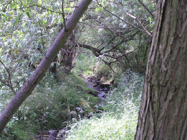
The woodland is predominantly composed of broadleaf trees, including oak, ash, and beech, which create a dense canopy overhead. This canopy provides shade and shelter for a diverse range of flora and fauna that call Birley Wood their home. Bluebells, wood sorrel, and wild garlic carpet the forest floor during spring, creating a stunning display of vibrant colors and sweet scents.

Birley Wood is also home to a variety of wildlife species. Visitors may have the chance to spot deer, foxes, badgers, and a myriad of bird species such as woodpeckers, owls, and thrushes. The wood is a designated Site of Special Scientific Interest due to its importance as a habitat for several rare and endangered species.

For outdoor enthusiasts, Birley Wood offers a network of well-maintained footpaths that meander through the forest, providing opportunities for leisurely walks and peaceful exploration. The wood is a popular destination for birdwatching, photography, and nature study, attracting visitors from near and far.

Birley Wood is a true gem of Derbyshire, offering a serene escape from the hustle and bustle of everyday life. Its natural beauty and abundant wildlife make it a must-visit destination for anyone seeking solace in the heart of nature.

If you have any feedback on the listing, please let us know in the comments section below.
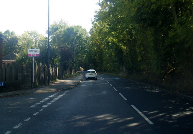
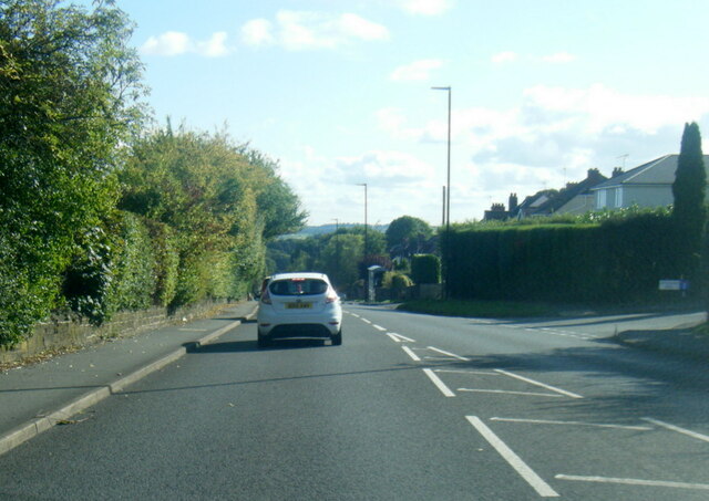
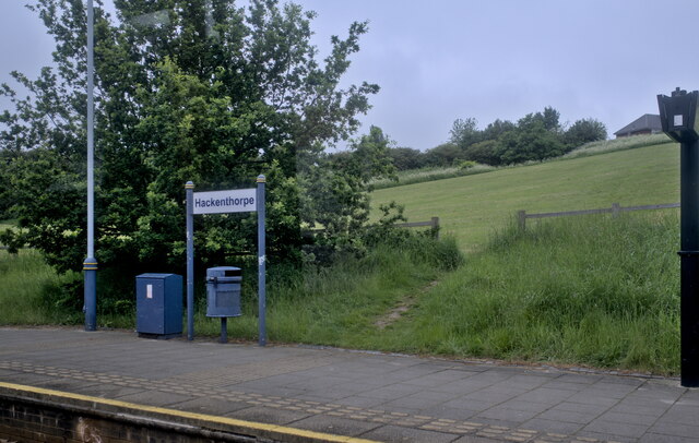
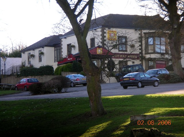
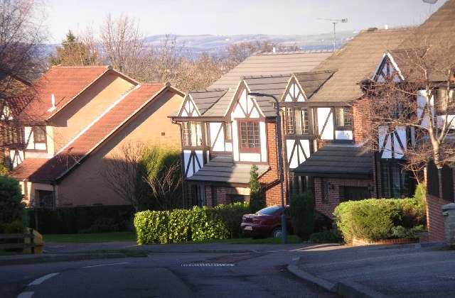
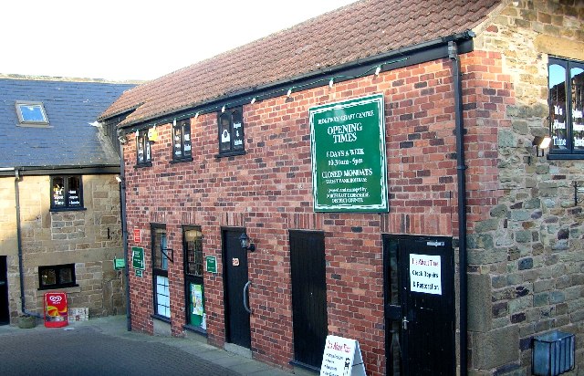
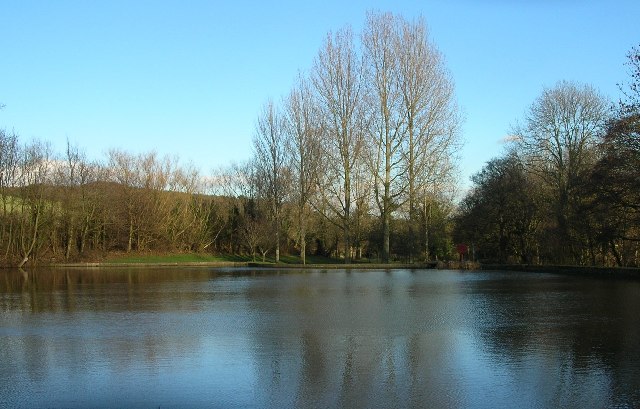
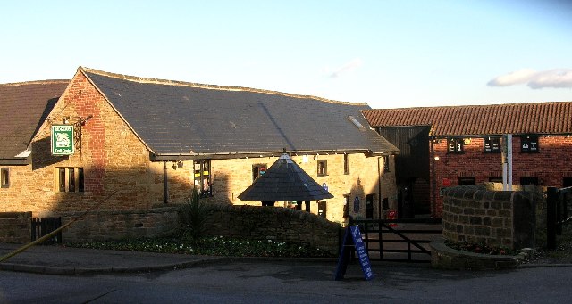
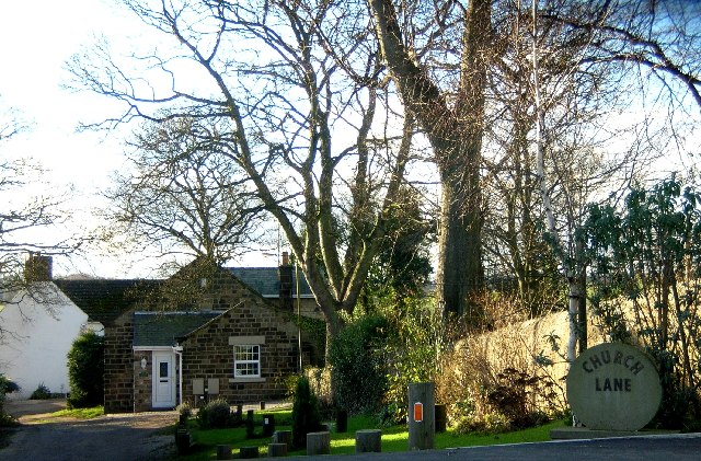
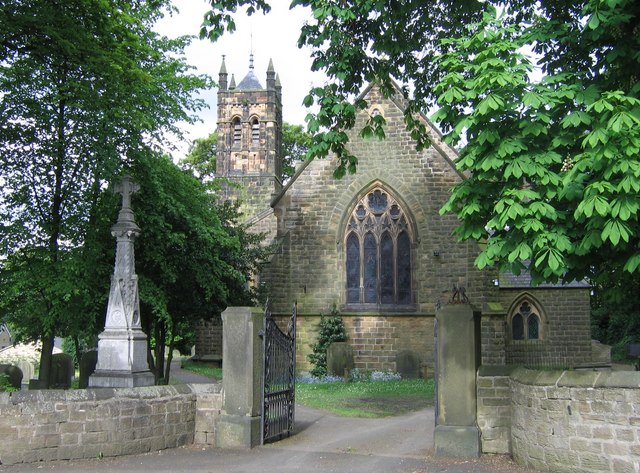
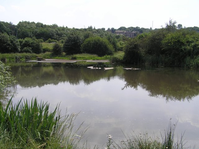
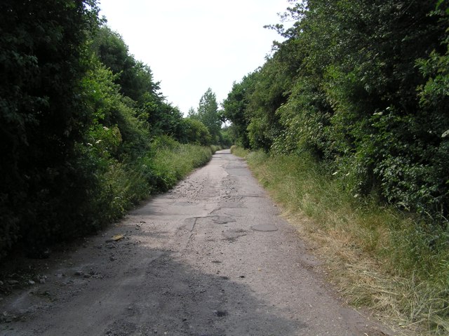
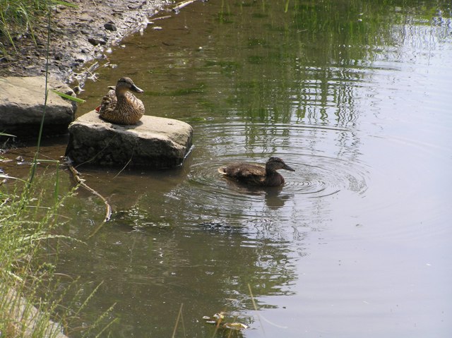
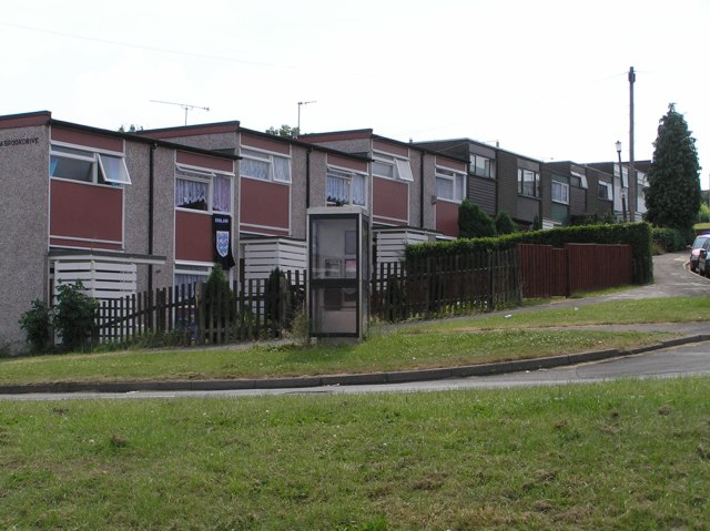
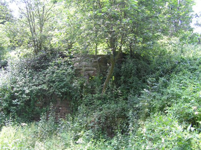
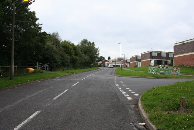
Birley Wood Images

Images are sourced within 2km of 53.336635/-1.3925165 or Grid Reference SK4082. Thanks to Geograph Open Source API. All images are credited.

A6135 Moor Valley, at Moor Valley Close
A6135 at Owlthorpe Rise
Hackenthorpe tram stop
Ridgeway Arms, Mosborough Moor, Nr Sheffield.
Parkgate Drive, off Quarry Hill, near Ridgeway.
Ridgeway Craft Centre, Near Sheffield
Ridgeway Church, Near Sheffield.
Ford Dam at Ridgeway, Nr Sheffield.
Ridgeway Craft Centre, Near Sheffield (NE Derbyshire)
Church Lane, Ridgeway, Nr Sheffield
St. John's Ridgeway from west The village of Ridgeway has a string sense of identity as evidence their comprehensive website : <span class="nowrap"><a title="http://www.ridgewayvillage.org.uk" rel="nofollow ugc noopener" href="http://www.ridgewayvillage.org.uk">Link</a><img style="margin-left:2px;" alt="External link" title="External link - shift click to open in new window" src="https://s1.geograph.org.uk/img/external.png" width="10" height="10"/></span>
St. John's Ridgeway from west
The village of Ridgeway has a string sense of identity as evidence their comprehensive website : LinkExternal link
Carr Forge Dam In the Shirebrook Valley below Woodhouse were several waterwheels, possibly dating back to Tudor times, and part of Sheffield's early industrial heritage. This shows Carr Forge Dam with the water levels lower than usual because of the prolonged dry spell. The Shire Brook was in times past the border between the ancient kingdoms of Mercia and Northumbria and more lately between Yorkshire and Derbyshire, hence the name Shire Brook.
Carr Forge Dam
In the Shirebrook Valley below Woodhouse were several waterwheels, possibly dating back to Tudor times, and part of Sheffield's early industrial heritage. This shows Carr Forge Dam with the water levels lower than usual because of the prolonged dry spell. The Shire Brook was in times past the border between the ancient kingdoms of Mercia and Northumbria and more lately between Yorkshire and Derbyshire, hence the name Shire Brook.
Shire Brook In the Shirebrook Valley, the brook itself fed several waterwheels in times past including <a href="https://www.geograph.org.uk/photo/194486">SK4184 : Carr Forge Dam</a>.
Shire Brook
In the Shirebrook Valley, the brook itself fed several waterwheels in times past including SK4184 : Carr Forge Dam.
Stone Lane, Woodhouse This road once served the sewage works and Badger Tools. Both have now gone, but the sewage works buildings have been converted into buildings for the Shirebrook Valley Nature Reserve. The end of the road (behind me) seems to be a place where old cars go to die, or be burned out by the local yoofs. The speed ramps are probably there to stop the yoofs damaging themselves too much when the cars are crashed into the gates at the end.
Stone Lane, Woodhouse
This road once served the sewage works and Badger Tools. Both have now gone, but the sewage works buildings have been converted into buildings for the Shirebrook Valley Nature Reserve. The end of the road (behind me) seems to be a place where old cars go to die, or be burned out by the local yoofs. The speed ramps are probably there to stop the yoofs damaging themselves too much when the cars are crashed into the gates at the end.
Ducks on Carr Forge Dam Since a youngster nearly killed himself when his fishing pole touched overhead live wires a few years ago, fishing on the dam has been banned by order of Sheffield Council, so the ducks have free rein. Here, mummy-duck sits on the stone keeping an eye on youngster. As I cycled past, another five of this year's brood appeared out from under the shelter of the bank.
Ducks on Carr Forge Dam
Since a youngster nearly killed himself when his fishing pole touched overhead live wires a few years ago, fishing on the dam has been banned by order of Sheffield Council, so the ducks have free rein. Here, mummy-duck sits on the stone keeping an eye on youngster. As I cycled past, another five of this year's brood appeared out from under the shelter of the bank.
Houses on Scowerdons estate Can't really say much more. This is the bottom end of Hackenthorpe, the opposite side of the Shirebrook Valley to Woodhouse and Beighton.
Houses on Scowerdons estate
Can't really say much more. This is the bottom end of Hackenthorpe, the opposite side of the Shirebrook Valley to Woodhouse and Beighton.
Remains of Nether Wheel, Woodhouse Along with <a href="https://www.geograph.org.uk/photo/194486">SK4184 : Carr Forge Dam</a>, the Nether Wheel was yet another of the waterwheels along the Shirebrook Valley. This one still has visible remains of the buildings, buried in woodland although accessible by waymarked footpaths. This wheel probably drove grinding stones or similar for the manufacture of agricultural tools.
Remains of Nether Wheel, Woodhouse
Along with SK4184 : Carr Forge Dam, the Nether Wheel was yet another of the waterwheels along the Shirebrook Valley. This one still has visible remains of the buildings, buried in woodland although accessible by waymarked footpaths. This wheel probably drove grinding stones or similar for the manufacture of agricultural tools.
Silkstone Road, Hackenthorpe One of the many newer roads in the area, certainly not appearing on the 1940's map.
Silkstone Road, Hackenthorpe
One of the many newer roads in the area, certainly not appearing on the 1940's map.
Show me another place!

Birley Wood is located at Grid Ref: SK4082 (Lat: 53.336635, Lng: -1.3925165)

Unitary Authority: Sheffield

Police Authority: South Yorkshire

What 3 Words

///supply.brings.worker. Near Beighton, South Yorkshire

Nearby Locations

Birley Wood Birley Estate

Related Wikis

Ridgeway, Derbyshire

Ridgeway is a village in Eckington parish, North East Derbyshire in the English county of Derbyshire. == Location == Ridgeway lies just south of the South...

Ford, Derbyshire

Ford is a hamlet in North East Derbyshire in the county of Derbyshire in England. == Location == Ford lies just south of the South Yorkshire border, around...

The Birley Academy

The Birley Academy, previously known as Birley Community College, is a secondary school in Birley, Sheffield, South Yorkshire, England. It is part of the...

Birley

Birley ward — which includes the districts of Base Green, Birley Estate, Charnock, Frecheville, Scowerdons and part of Hackenthorpe — is one of the 28...

Hackenthorpe

Hackenthorpe is a village 5 miles south east of Sheffield’s city centre, now classed as a historic township of the city. Due to much expansion, the village...

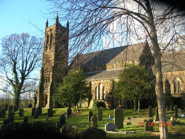
Christ Church, Hackenthorpe

Christ Church is a church situated in Hackenthorpe, a suburb of the City of Sheffield. It is located on Sheffield road, and was built in 1899. The church...

Birley Spa

Birley Spa is a grade-II listed community bath hall and a Victorian bathhouse in the Hackenthorpe district of the City of Sheffield, England. == History... ==

The Old Vicarage, Derbyshire

The Old Vicarage is a restaurant located in Ridgeway, near Sheffield. The restaurant held one star in the Michelin Guide from 1998 to 2015. The head chef...

Nearby Amenities

Located within 500m of 53.336635,-1.3925165
Highlane
Is In: Derbyshire, England, UK
Place: hamlet
Lat/Long: 53.334802/-1.3934684
Turning Circle
Source: Bing
Lat/Long: 53.3342472/-1.3945151
Bus Stop
Moor Valley/Mole Hole Farm
Alt Name: Moor Valley/Mole Hole Farm
Bus: yes
Naptan AltCommonName: Moor Valley/Mole Hole Farm
Naptan AtcoCode: 370021612
Naptan Bearing: N
Naptan CommonName: Moor Valley/Mole Hole Farm
Naptan Indicator: 21612
Naptan Landmark: Mole Hole Farm/Accorn Caravan
Naptan PlusbusZoneRef: ROTHCEN
Naptan Street: Moor Valley
Naptan Verified: no
Public Transport: platform
Source: naptan_import
Lat/Long: 53.3376932/-1.3854049
Bus Stop
Moor Valley/Mole Hole Farm
Alt Name: Moor Valley/Mole Hole Farm
Bus: yes
Naptan AltCommonName: Moor Valley/Mole Hole Farm
Naptan AtcoCode: 370021613
Naptan Bearing: N
Naptan CommonName: Moor Valley/Mole Hole Farm
Naptan Indicator: 21613
Naptan Landmark: Garden Centre/Moor Hole Farm
Naptan PlusbusZoneRef: ROTHCEN
Naptan Street: Moor Valley
Naptan Verified: no
Public Transport: platform
Source: naptan_import
Lat/Long: 53.338063/-1.3856549
High Lane/Ribblesdale Drive
Naptan AtcoCode: 370027184
Naptan Bearing: SE
Naptan BusStopType: CUS
Naptan CommonName: High Lane/Ribblesdale Drive
Naptan Indicator: 27184
Naptan Landmark: 27184
Naptan Street: High Lane
Naptan Verified: no
Source: naptan_import
Lat/Long: 53.3330688/-1.3881293
High Lane/Ribblesdale Drive
Naptan AtcoCode: 370027185
Naptan Bearing: NW
Naptan BusStopType: CUS
Naptan CommonName: High Lane/Ribblesdale Drive
Naptan Indicator: 27185
Naptan Landmark: 27185
Naptan Street: High Lane
Naptan Verified: no
Source: naptan_import
Lat/Long: 53.3329887/-1.3882806
Railway: tram_level_crossing
Lat/Long: 53.3407858/-1.3905026
Turning Circle
Source: Bing
Lat/Long: 53.3341704/-1.3968238
Turning Circle
Source: Bing
Lat/Long: 53.3336548/-1.3945198
Railway: tram_level_crossing
Lat/Long: 53.3406346/-1.3906277
Power: tower
Lat/Long: 53.3370178/-1.3976973
Power: tower
Lat/Long: 53.3387209/-1.3862701
Power: tower
Lat/Long: 53.3375395/-1.3928464
Railway: tram_crossing
Lat/Long: 53.340777/-1.3945531
Barrier: stile
Lat/Long: 53.3406562/-1.3945478
Turning Circle
Source: Bing
Lat/Long: 53.3399536/-1.3881207
Turning Circle
Source: Bing
Lat/Long: 53.3396269/-1.3872704
Railway: tram_crossing
Lat/Long: 53.3407386/-1.394554
Post Box
Post Box Type: lamp
Ref: S12 354
Royal Cypher: EIIR
Royal Cypher Wikidata: Q33102113
Lat/Long: 53.3339528/-1.3920077
Crossing
Crossing: unmarked
Lat/Long: 53.3408622/-1.3905836
Entrance: yes
Lat/Long: 53.3405674/-1.3899806
Entrance: yes
Lat/Long: 53.340708/-1.3896783
Crossing
Crossing: unmarked
Lat/Long: 53.3407658/-1.3945533
Traffic Signals
Crossing: no
Traffic Signals Direction: forward
Lat/Long: 53.3407711/-1.3938964
Generator Method: photovoltaic
Generator Output Electricity: yes
Generator Source: solar
Generator Type: solar_photovoltaic_panel
Location: roof
Power: generator
Lat/Long: 53.3337499/-1.3882259
Generator Method: photovoltaic
Generator Output Electricity: yes
Generator Source: solar
Generator Type: solar_photovoltaic_panel
Location: roof
Power: generator
Lat/Long: 53.3343082/-1.3865387
Generator Method: photovoltaic
Generator Output Electricity: yes
Generator Source: solar
Generator Type: solar_photovoltaic_panel
Location: roof
Power: generator
Lat/Long: 53.3345466/-1.3962543
Generator Method: photovoltaic
Generator Output Electricity: yes
Generator Source: solar
Generator Type: solar_photovoltaic_panel
Location: roof
Power: generator
Lat/Long: 53.3346213/-1.3965997
Generator Method: photovoltaic
Generator Output Electricity: yes
Generator Source: solar
Generator Type: solar_photovoltaic_panel
Location: roof
Power: generator
Lat/Long: 53.3344995/-1.3960422
Generator Method: photovoltaic
Generator Output Electricity: yes
Generator Source: solar
Generator Type: solar_photovoltaic_panel
Location: roof
Power: generator
Lat/Long: 53.3343387/-1.3953949
Generator Method: photovoltaic
Generator Output Electricity: yes
Generator Source: solar
Generator Type: solar_photovoltaic_panel
Location: roof
Power: generator
Lat/Long: 53.3343095/-1.3952236
Communication Mobile Phone: yes
Man Made: mast
Tower Type: communication
Lat/Long: 53.3387749/-1.3894561
Marker: post
Lat/Long: 53.3388547/-1.3869909
Marker: post
Lat/Long: 53.3388915/-1.3869024
Marker: post
Lat/Long: 53.3406513/-1.3904288
Grit Bin
Operator: Sheffield City Council
Operator Type: government
Operator Wikidata: Q7492609
Seasonal: no
Lat/Long: 53.3344293/-1.3863305
Grit Bin
Operator: Sheffield City Council
Operator Type: government
Operator Wikidata: Q7492609
Seasonal: no
Lat/Long: 53.3339122/-1.3871638
Grit Bin
Operator: Sheffield City Council
Operator Type: government
Operator Wikidata: Q7492609
Seasonal: no
Lat/Long: 53.3334043/-1.388027
The data included in this document is from www.openstreetmap.org. The data is made available under ODbL.

Have you been to Birley Wood?

Leave your review of Birley Wood below (or comments, questions and feedback).