Wykin Spinney

Wood, Forest in Leicestershire Hinckley and Bosworth

England

Wykin Spinney

Langdale Recreation Ground - cricket pitch It is not in bad condition for a pitch in a public park. Langdale Recreation Ground is managed by Hinckley & Bosworth Borough Council.
Langdale Recreation Ground - cricket pitch Credit: Stephen McKay

Wykin Spinney is a small woodland located in Leicestershire, England. Situated near the village of Wykin, it covers an area of approximately 50 acres. The spinney is part of a larger rural landscape and is surrounded by farmland and open fields.

The woodland is home to a variety of native tree species, including oak, ash, birch, and beech. The dense canopy of the trees creates a shady and tranquil atmosphere, making it a popular spot for nature lovers and walkers. The forest floor is covered in a thick layer of leaf litter, providing a habitat for a diverse range of plants and small animals.

Wykin Spinney is also known for its rich birdlife, attracting birdwatchers throughout the year. Common species that can be spotted in the spinney include great tits, blue tits, blackbirds, and robins. There have also been occasional sightings of rarer birds such as woodpeckers and owls.

The woodland is crisscrossed by a network of footpaths and trails, allowing visitors to explore the area at their own pace. These paths lead through the heart of the spinney, offering glimpses of its natural beauty and providing opportunities for peaceful walks and picnics.

Overall, Wykin Spinney is a charming woodlands in Leicestershire, offering a peaceful escape from urban life and providing a haven for a wide variety of flora and fauna.

If you have any feedback on the listing, please let us know in the comments section below.

Wykin Spinney Images

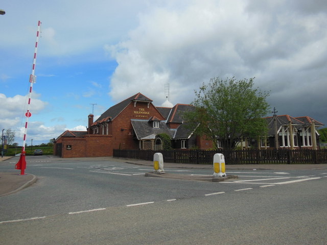
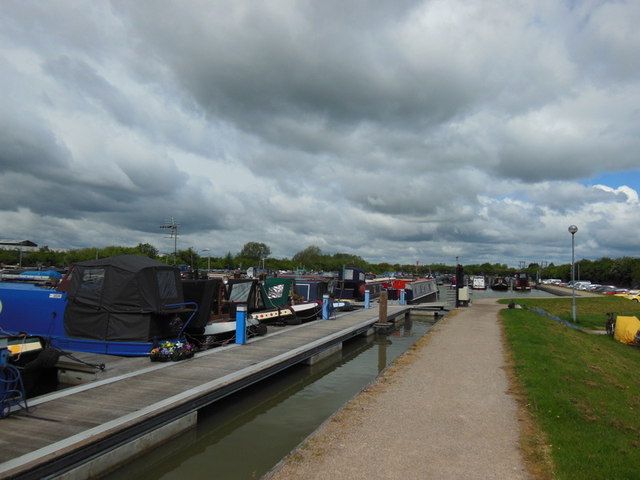
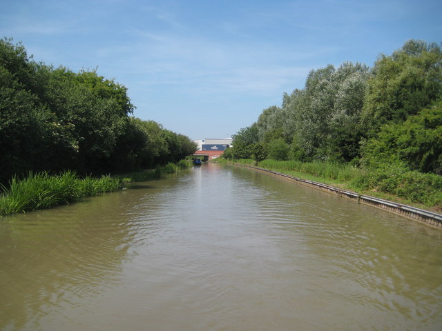
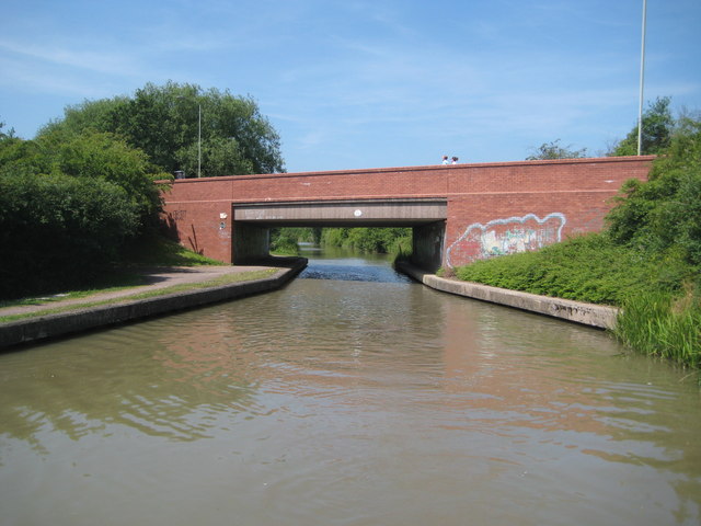
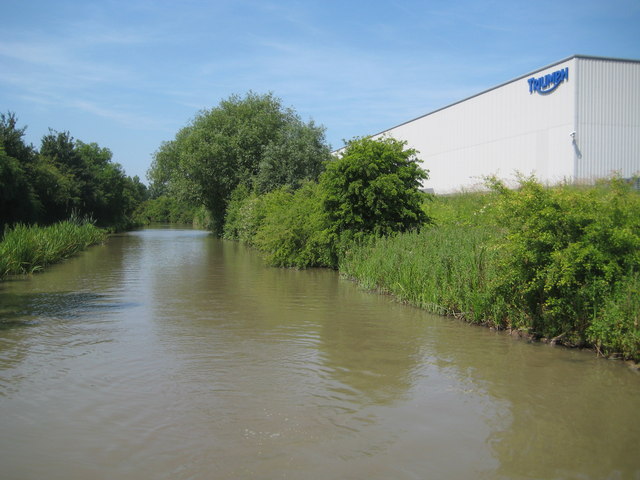
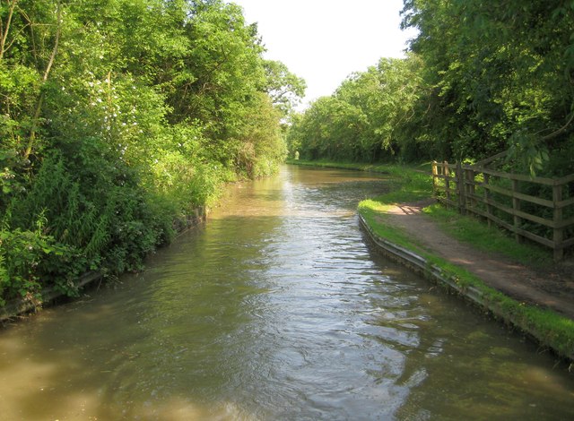
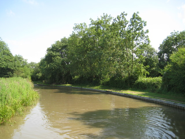
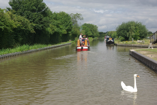
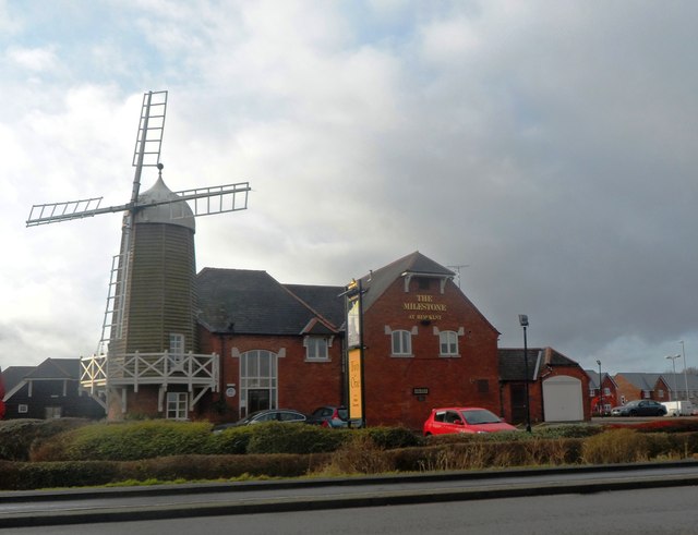
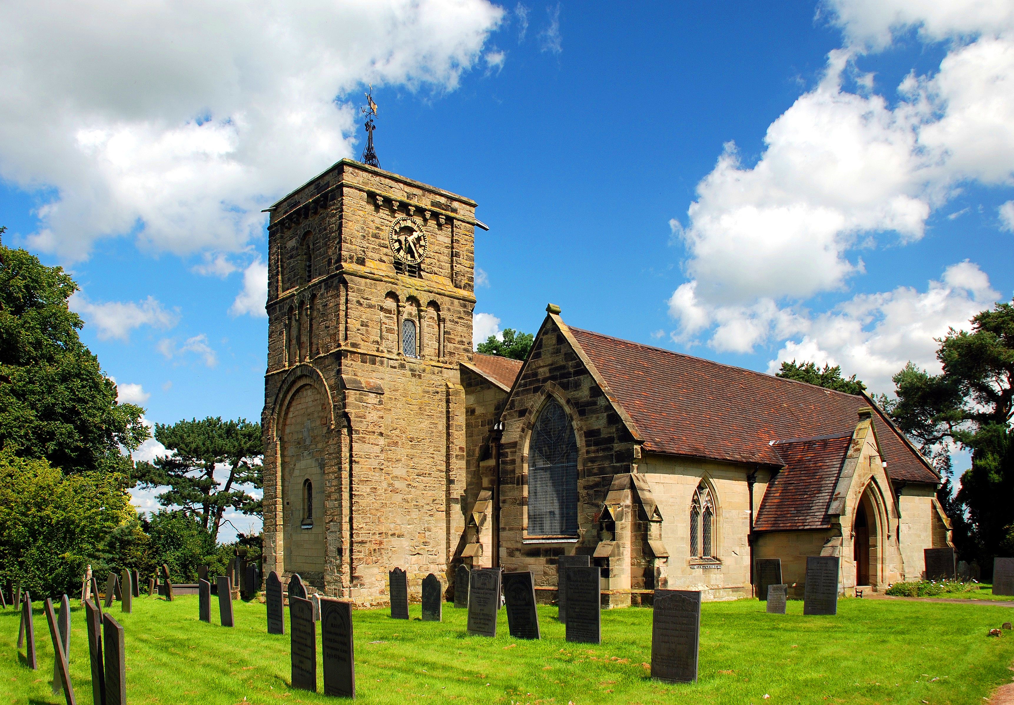
Images are sourced within 2km of 52.554113/-1.4128595 or Grid Reference SP3995. Thanks to Geograph Open Source API. All images are credited.

Langdale Recreation Ground - cricket pitch It is not in bad condition for a pitch in a public park. Langdale Recreation Ground is managed by Hinckley & Bosworth Borough Council.
Langdale Recreation Ground - cricket pitch
It is not in bad condition for a pitch in a public park. Langdale Recreation Ground is managed by Hinckley & Bosworth Borough Council.
Wykin Road in Wykin
Wykin Road in Wykin
Hinckley from the air Viewed from a Prague bound flight from East Midlands. See also <a href="https://www.geograph.org.uk/photo/2408627">SP4192 : Hinckley from the air</a>.
Hinckley from the air
Viewed from a Prague bound flight from East Midlands. See also SP4192 : Hinckley from the air.
The Milestone at Hinckley
The Marina at Hinckley
Ashby Canal: Reach in Hinckley Up until the latter part of the 20th Century the canal ran through open fields through here. The later urban sprawl of Hinckley, with a residential area to the right and an industrial area to the left, are however shielded from the canal by trees. The only evidence of industry is the Triumph motor cycle factory visible above <a href="https://www.geograph.org.uk/photo/3563950">SP4093 : Ashby Canal: Bridge Number 17A</a> in the distance.
Ashby Canal: Reach in Hinckley
Up until the latter part of the 20th Century the canal ran through open fields through here. The later urban sprawl of Hinckley, with a residential area to the right and an industrial area to the left, are however shielded from the canal by trees. The only evidence of industry is the Triumph motor cycle factory visible above SP4093 : Ashby Canal: Bridge Number 17A in the distance.
Ashby Canal: Bridge Number 17A Bridge Number 17A is Dodwell's Road Bridge and takes the A47 Hinckley northern bypass over the canal.
Ashby Canal: Bridge Number 17A
Bridge Number 17A is Dodwell's Road Bridge and takes the A47 Hinckley northern bypass over the canal.
Ashby Canal: Reach in Hinckley & the Triumph factory Up until the latter part of the 20th Century the canal ran through open fields through here. The later residential and industrial urban sprawl of Hinckley is for the most part shielded from the canal by trees. An exception here is the new Triumph motorcycle factory.
Ashby Canal: Reach in Hinckley & the Triumph factory
Up until the latter part of the 20th Century the canal ran through open fields through here. The later residential and industrial urban sprawl of Hinckley is for the most part shielded from the canal by trees. An exception here is the new Triumph motorcycle factory.
Ashby Canal: Site of Bridge Number 18 This narrowing of the canal is where Bridge Number 18 used to carry a byway from Watling Street to Wykin over it. The bridge was unfortunately demolished just before the canal became a statutory conservation area. Confusingly various editions and scales of the Ordnance Survey mapping, including the version of the 1:50,000 scale mapping currently available to the Geograph site, still show the bridge as extant with rights of way leading up to the non-existent crossing. A short diversion of a couple of a hundred metres northwards to Bridge Number 19 is necessary (unless you are carrying a boat or want to swim across...).
Ashby Canal: Site of Bridge Number 18
This narrowing of the canal is where Bridge Number 18 used to carry a byway from Watling Street to Wykin over it. The bridge was unfortunately demolished just before the canal became a statutory conservation area. Confusingly various editions and scales of the Ordnance Survey mapping, including the version of the 1:50,000 scale mapping currently available to the Geograph site, still show the bridge as extant with rights of way leading up to the non-existent crossing. A short diversion of a couple of a hundred metres northwards to Bridge Number 19 is necessary (unless you are carrying a boat or want to swim across...).
Ashby Canal: Reach in Hinckley The canal just cuts across the south-western corner of this grid square. <a href="https://www.geograph.org.uk/photo/3564005">SP4093 : Ashby Canal: Site of Bridge Number 18</a> is just around the corner to the left.
Ashby Canal: Reach in Hinckley
The canal just cuts across the south-western corner of this grid square. SP4093 : Ashby Canal: Site of Bridge Number 18 is just around the corner to the left.
Ashby Canal, Hinckley A narrowboat passes the entrance to Trinity Marina.
Ashby Canal, Hinckley
A narrowboat passes the entrance to Trinity Marina.
Industrial units - Hinckley
The Milestone at Hinckley
Outlands Drive
Outlands Drive
Footpath crosses the A47 In 2003 this was part of the Ambion Way
Footpath crosses the A47
In 2003 this was part of the Ambion Way
The Long Shoot approaches the A5
Ashby-de-la-Zouch Canal near Stoke Golding The Ashby-de-la-Zouch Canal is seen here looking north from bridge No. 23, south-west of Stoke Golding.
Ashby-de-la-Zouch Canal near Stoke Golding
The Ashby-de-la-Zouch Canal is seen here looking north from bridge No. 23, south-west of Stoke Golding.
Show me another place!

Wykin Spinney is located at Grid Ref: SP3995 (Lat: 52.554113, Lng: -1.4128595)

Administrative County: Leicestershire

District: Hinckley and Bosworth

Police Authority: Leicestershire

What 3 Words

///pronouns.extremely.sour. Near Stoke Golding, Leicestershire

Nearby Locations

Wykin Spinney

Related Wikis

Wykin

Wykin is a hamlet in the English county of Leicestershire. Wykin is located to the north-west of the town of Hinckley and is separated from it by the...

Hijaz College

Hijaz College is a British Muslim school located in Nuneaton, Warwickshire, England. Hijaz College combines traditional Islamic education with the British...

Higham on the Hill

Higham on the Hill is a village and civil parish in the Hinckley and Bosworth district of Leicestershire, England. The population at the 2011 census was...

Stoke Golding

Stoke Golding is a village and civil parish in the Hinckley and Bosworth district of Leicestershire, England, close to the county border with Warwickshire...

Nearby Amenities

Located within 500m of 52.554113,-1.4128595
Power: tower
Source: Bing
Lat/Long: 52.5562088/-1.4134371
Power: tower
Source: Bing
Lat/Long: 52.5532992/-1.4133899
Power: tower
Source: Bing
Lat/Long: 52.5502168/-1.4132879
Noexit: yes
Lat/Long: 52.5525802/-1.4065621
Noexit: yes
Lat/Long: 52.5530031/-1.4072438
The data included in this document is from www.openstreetmap.org. The data is made available under ODbL.

Have you been to Wykin Spinney?

Leave your review of Wykin Spinney below (or comments, questions and feedback).